Dalzell is a village in Bureau and LaSalle counties in the U.S. state of Illinois. The population was 663 at the 2020 census, down from 717 at the 2010 census. It is part of the Ottawa Micropolitan Statistical Area. Dalzell was founded on November 24, 1903 and certified on February 11, 1904.
| Name: | Dalzell village |
|---|---|
| LSAD Code: | 47 |
| LSAD Description: | village (suffix) |
| State: | Illinois |
| County: | Bureau County, LaSalle County |
| Elevation: | 607 ft (185 m) |
| Total Area: | 0.83 sq mi (2.1 km²) |
| Land Area: | 0.82 sq mi (2.1 km²) |
| Water Area: | 0.01 sq mi (0.03 km²) |
| Total Population: | 663 |
| Population Density: | 808.54/sq mi (312.18/km²) |
| FIPS code: | 1718459 |
| GNISfeature ID: | 2398674 |
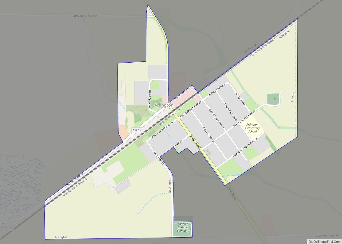
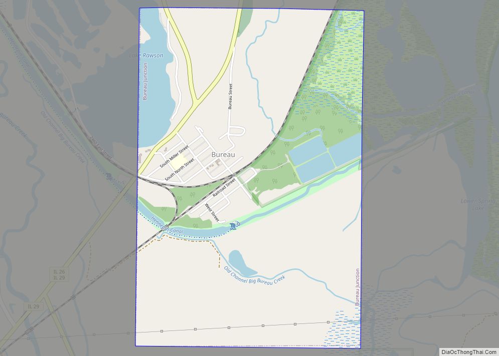
Online Interactive Map
Click on ![]() to view map in "full screen" mode.
to view map in "full screen" mode.
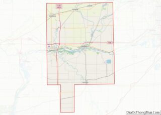
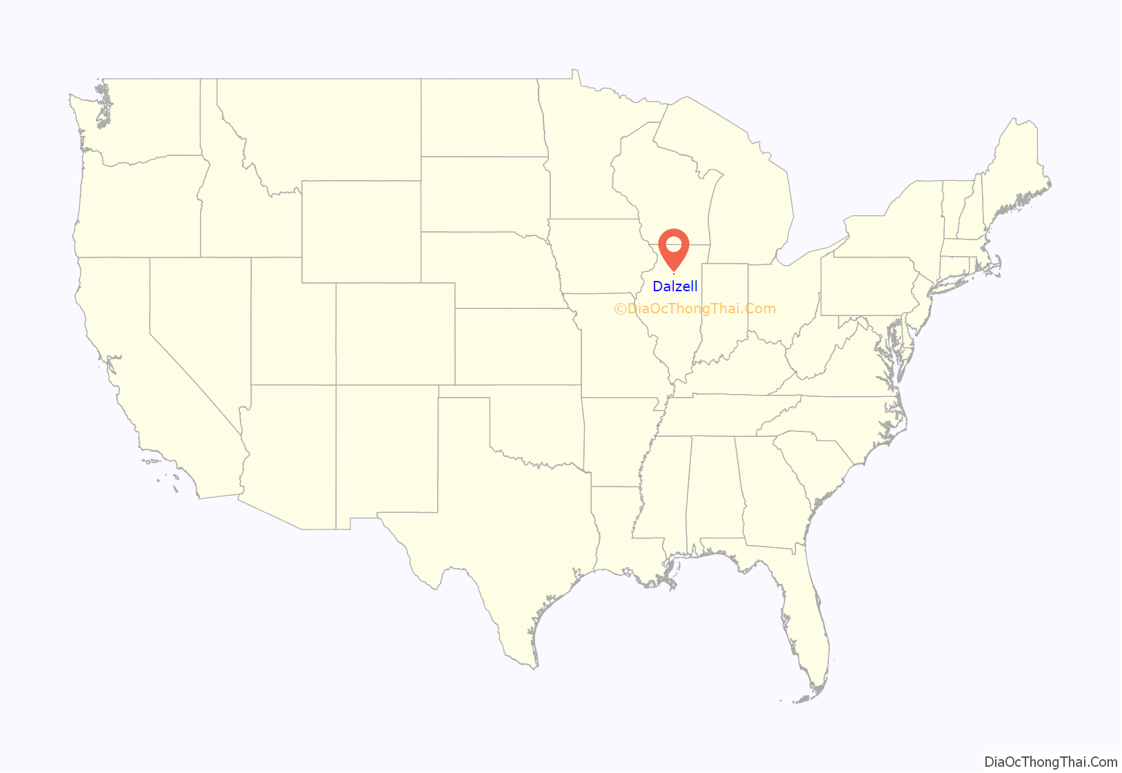
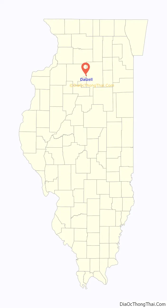
Dalzell location map. Where is Dalzell village?
History
The coal mine shaft in Dalzell was sunk in 1899 by the Spring Valley Coal Company. The town was originally known as the No. 5 Mine Camp. The company owned the property in and around the town. Later the No. 6 Mine Camp was added. The camps were incorporated on February 11, 1904. The village was named for mining magnate Samuel M. Dalzell, the mine manager from Spring Valley. The mine close in February 1923.
A post office called Dalzell has been in operation since 1902.
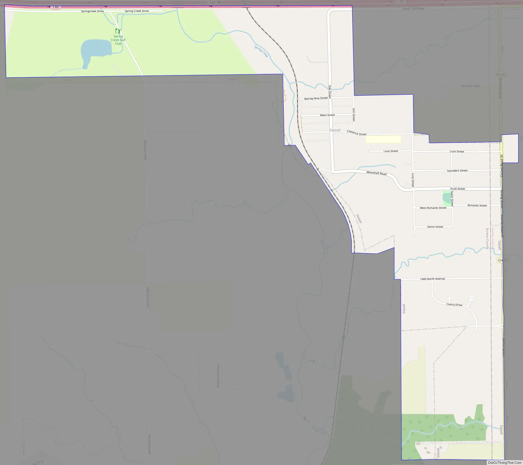
Dalzell Road Map
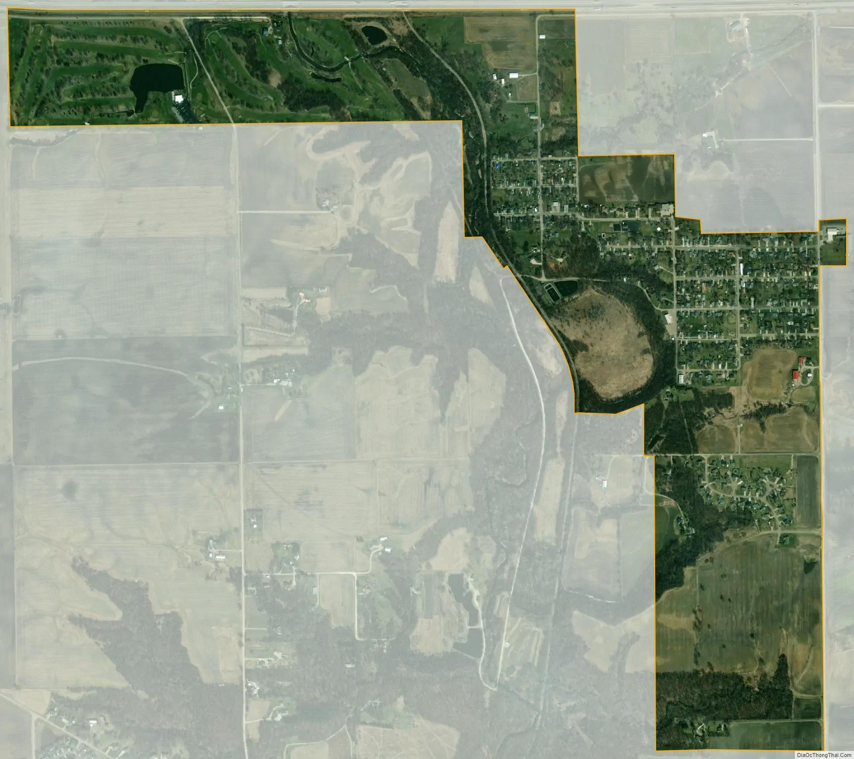
Dalzell city Satellite Map
Geography
Most of the village lies in Bureau County, although a small portion extends into west central LaSalle County. In the 2000 census, all of Dalzell’s 717 residents lived in Bureau County.
According to the 2021 census gazetteer files, Dalzell has a total area of 0.83 square miles (2.15 km), of which 0.82 square miles (2.12 km) (or 99.15%) is land and 0.01 square miles (0.03 km) (or 0.85%) is water.
See also
Map of Illinois State and its subdivision:- Adams
- Alexander
- Bond
- Boone
- Brown
- Bureau
- Calhoun
- Carroll
- Cass
- Champaign
- Christian
- Clark
- Clay
- Clinton
- Coles
- Cook
- Crawford
- Cumberland
- De Kalb
- De Witt
- Douglas
- Dupage
- Edgar
- Edwards
- Effingham
- Fayette
- Ford
- Franklin
- Fulton
- Gallatin
- Greene
- Grundy
- Hamilton
- Hancock
- Hardin
- Henderson
- Henry
- Iroquois
- Jackson
- Jasper
- Jefferson
- Jersey
- Jo Daviess
- Johnson
- Kane
- Kankakee
- Kendall
- Knox
- La Salle
- Lake
- Lake Michigan
- Lawrence
- Lee
- Livingston
- Logan
- Macon
- Macoupin
- Madison
- Marion
- Marshall
- Mason
- Massac
- McDonough
- McHenry
- McLean
- Menard
- Mercer
- Monroe
- Montgomery
- Morgan
- Moultrie
- Ogle
- Peoria
- Perry
- Piatt
- Pike
- Pope
- Pulaski
- Putnam
- Randolph
- Richland
- Rock Island
- Saint Clair
- Saline
- Sangamon
- Schuyler
- Scott
- Shelby
- Stark
- Stephenson
- Tazewell
- Union
- Vermilion
- Wabash
- Warren
- Washington
- Wayne
- White
- Whiteside
- Will
- Williamson
- Winnebago
- Woodford
- Alabama
- Alaska
- Arizona
- Arkansas
- California
- Colorado
- Connecticut
- Delaware
- District of Columbia
- Florida
- Georgia
- Hawaii
- Idaho
- Illinois
- Indiana
- Iowa
- Kansas
- Kentucky
- Louisiana
- Maine
- Maryland
- Massachusetts
- Michigan
- Minnesota
- Mississippi
- Missouri
- Montana
- Nebraska
- Nevada
- New Hampshire
- New Jersey
- New Mexico
- New York
- North Carolina
- North Dakota
- Ohio
- Oklahoma
- Oregon
- Pennsylvania
- Rhode Island
- South Carolina
- South Dakota
- Tennessee
- Texas
- Utah
- Vermont
- Virginia
- Washington
- West Virginia
- Wisconsin
- Wyoming