Dawson is a village in Sangamon County, Illinois, United States. The population was 519 at the 2020 census. It is about 10 miles (16 km) east of Springfield and is part of the Springfield Metropolitan Statistical Area.
| Name: | Dawson village |
|---|---|
| LSAD Code: | 47 |
| LSAD Description: | village (suffix) |
| State: | Illinois |
| County: | Sangamon County |
| Total Area: | 0.79 sq mi (2.05 km²) |
| Land Area: | 0.79 sq mi (2.05 km²) |
| Water Area: | 0.00 sq mi (0.00 km²) |
| Total Population: | 519 |
| Population Density: | 655.30/sq mi (253.01/km²) |
| Area code: | 217 |
| FIPS code: | 1718745 |
| Website: | http://www.dawson.illinois.gov/ |
Online Interactive Map
Click on ![]() to view map in "full screen" mode.
to view map in "full screen" mode.
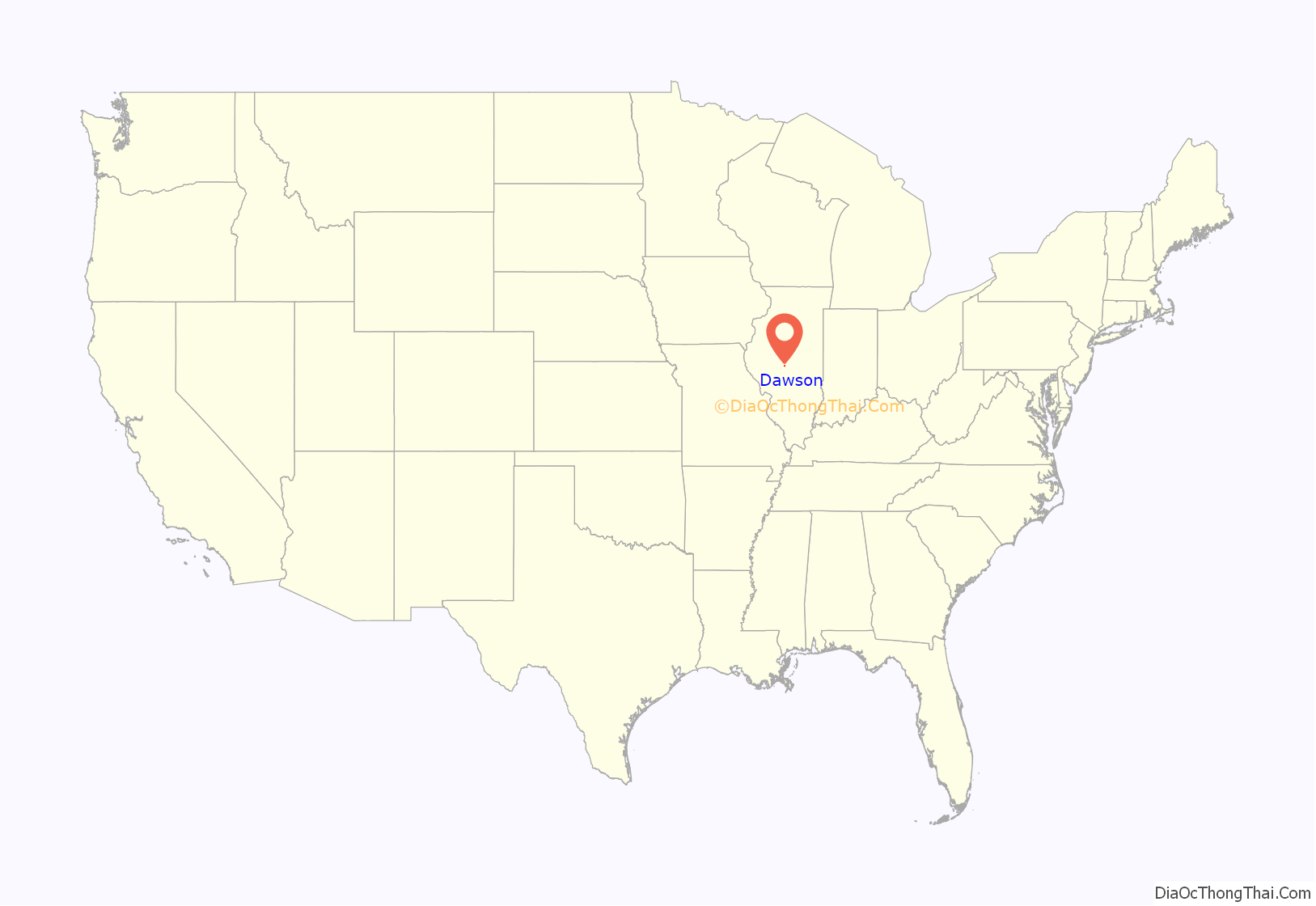
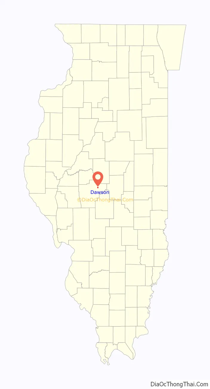
Dawson location map. Where is Dawson village?
History
Dawson was located along an old Indian trail that led from Clear Lake, Illinois, to Buffalo Hart, Illinois.
Dawson was laid out in 1854, when the railroad was extended to that point. The village was named after John Dawson, a member of a political group in Illinois in the 1830s led by Abraham Lincoln, that advocated moving the state capitol from Vandalia to Springfield. Dawson was incorporated in 1883.
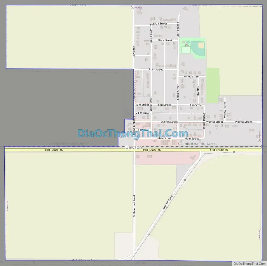
Dawson Road Map
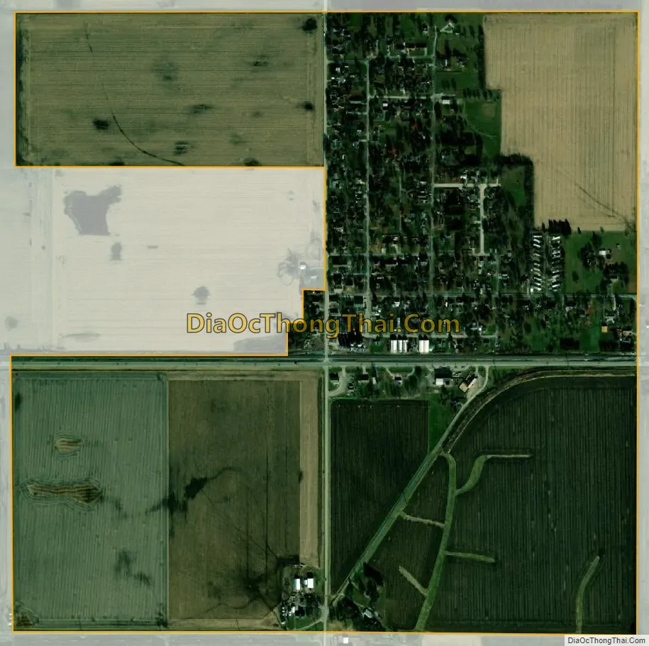
Dawson city Satellite Map
Geography
According to the 2010 census, Dawson has a total area of 0.88 square miles (2.28 km), all land.
See also
Map of Illinois State and its subdivision:- Adams
- Alexander
- Bond
- Boone
- Brown
- Bureau
- Calhoun
- Carroll
- Cass
- Champaign
- Christian
- Clark
- Clay
- Clinton
- Coles
- Cook
- Crawford
- Cumberland
- De Kalb
- De Witt
- Douglas
- Dupage
- Edgar
- Edwards
- Effingham
- Fayette
- Ford
- Franklin
- Fulton
- Gallatin
- Greene
- Grundy
- Hamilton
- Hancock
- Hardin
- Henderson
- Henry
- Iroquois
- Jackson
- Jasper
- Jefferson
- Jersey
- Jo Daviess
- Johnson
- Kane
- Kankakee
- Kendall
- Knox
- La Salle
- Lake
- Lake Michigan
- Lawrence
- Lee
- Livingston
- Logan
- Macon
- Macoupin
- Madison
- Marion
- Marshall
- Mason
- Massac
- McDonough
- McHenry
- McLean
- Menard
- Mercer
- Monroe
- Montgomery
- Morgan
- Moultrie
- Ogle
- Peoria
- Perry
- Piatt
- Pike
- Pope
- Pulaski
- Putnam
- Randolph
- Richland
- Rock Island
- Saint Clair
- Saline
- Sangamon
- Schuyler
- Scott
- Shelby
- Stark
- Stephenson
- Tazewell
- Union
- Vermilion
- Wabash
- Warren
- Washington
- Wayne
- White
- Whiteside
- Will
- Williamson
- Winnebago
- Woodford
- Alabama
- Alaska
- Arizona
- Arkansas
- California
- Colorado
- Connecticut
- Delaware
- District of Columbia
- Florida
- Georgia
- Hawaii
- Idaho
- Illinois
- Indiana
- Iowa
- Kansas
- Kentucky
- Louisiana
- Maine
- Maryland
- Massachusetts
- Michigan
- Minnesota
- Mississippi
- Missouri
- Montana
- Nebraska
- Nevada
- New Hampshire
- New Jersey
- New Mexico
- New York
- North Carolina
- North Dakota
- Ohio
- Oklahoma
- Oregon
- Pennsylvania
- Rhode Island
- South Carolina
- South Dakota
- Tennessee
- Texas
- Utah
- Vermont
- Virginia
- Washington
- West Virginia
- Wisconsin
- Wyoming


