East Dundee is a village in Kane County with a small section in Cook County. The population was 3,152 at the 2020 census.
| Name: | East Dundee village |
|---|---|
| LSAD Code: | 47 |
| LSAD Description: | village (suffix) |
| State: | Illinois |
| County: | Cook County, Kane County |
| Incorporated: | 1871 |
| Total Area: | 3.15 sq mi (8.17 km²) |
| Land Area: | 2.91 sq mi (7.54 km²) |
| Water Area: | 0.24 sq mi (0.63 km²) 8.08% |
| Total Population: | 3,152 |
| Population Density: | 1,082.05/sq mi (417.81/km²) |
| Area code: | 847 & 224 |
| FIPS code: | 1721696 |
| Website: | eastdundee.net |
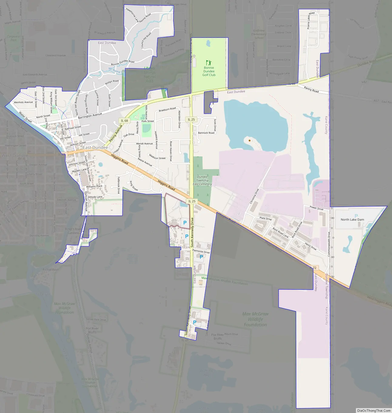
Online Interactive Map
Click on ![]() to view map in "full screen" mode.
to view map in "full screen" mode.
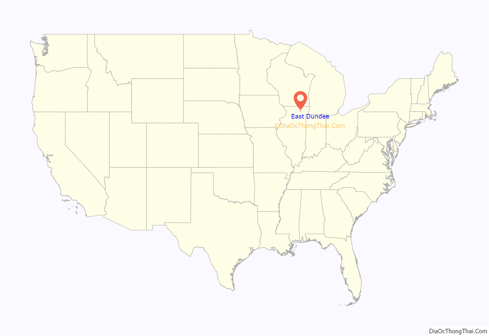
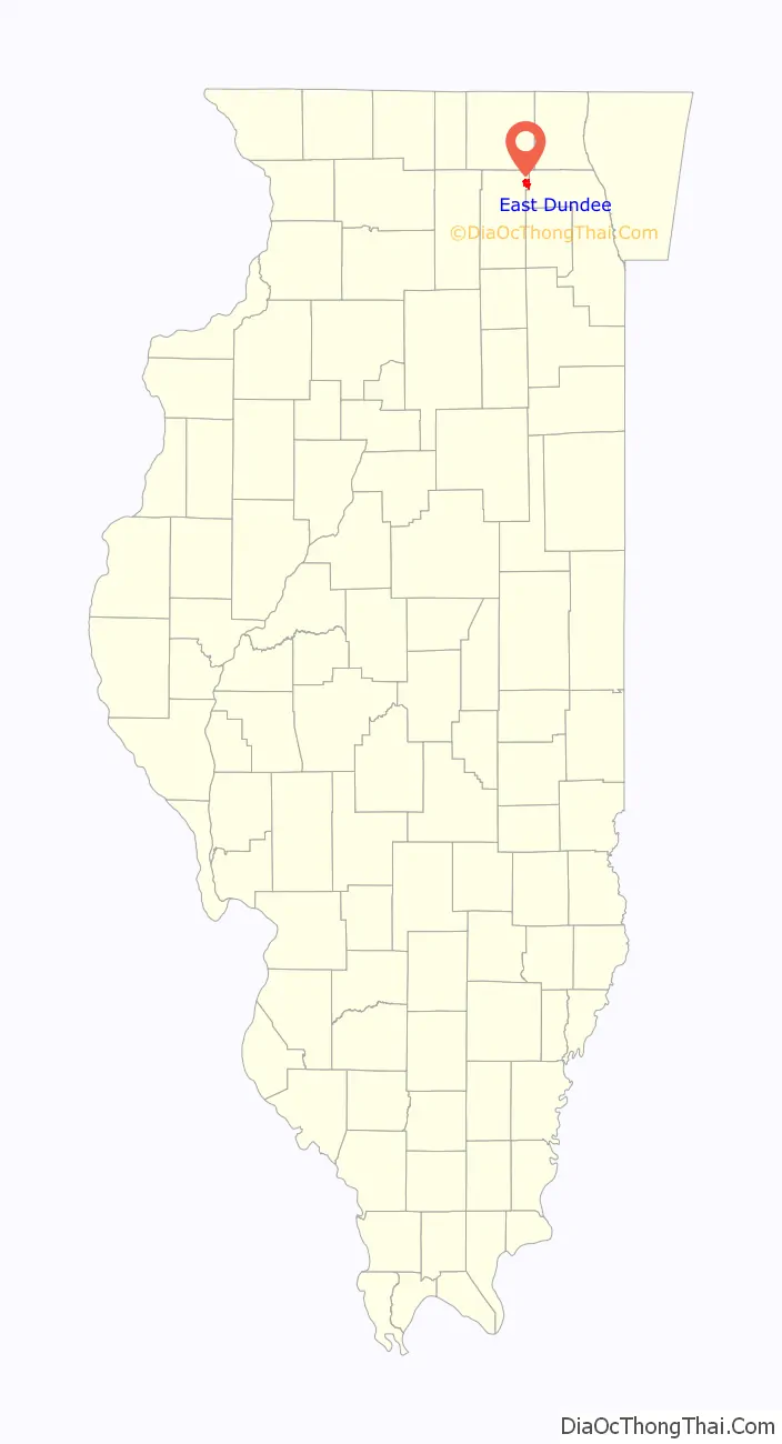
East Dundee location map. Where is East Dundee village?
History
The village of East Dundee was incorporated in 1871, four years after West Dundee. A historic district along the Fox River and stores on Main Street constitute the commercial part of East Dundee. The historic feed and coal store became Dundee Lumber, which burned down in March 2007. A former railroad bed is now the Fox River Trail, which follows the east side of the Fox River through town. The train depot was rebuilt in 1984 as a tourist center. Santa’s Village theme park operated from 1959 to 2006. It reopened in 2011 under new ownership as Santa’s Village AZoosment Park.
DeLoris Doederlein, educator and politician, lived in East Dundee.
East Dundee Road Map
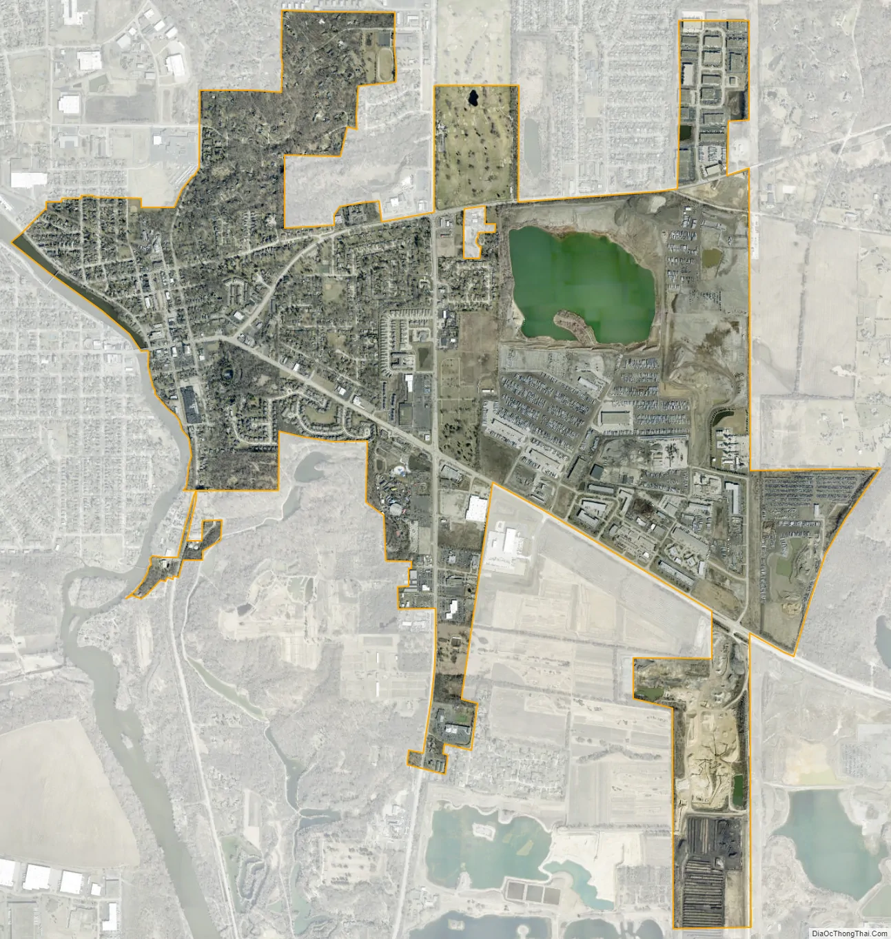
East Dundee city Satellite Map
Geography
East Dundee is located at 42°06′07″N 88°16′13″W / 42.101807°N 88.270215°W / 42.101807; -88.270215.
According to the 2021 census gazetteer files, East Dundee has a total area of 3.15 square miles (8.16 km), of which 2.91 square miles (7.54 km) (or 92.36%) is land and 0.24 square miles (0.62 km) (or 7.64%) is water.
See also
Map of Illinois State and its subdivision:- Adams
- Alexander
- Bond
- Boone
- Brown
- Bureau
- Calhoun
- Carroll
- Cass
- Champaign
- Christian
- Clark
- Clay
- Clinton
- Coles
- Cook
- Crawford
- Cumberland
- De Kalb
- De Witt
- Douglas
- Dupage
- Edgar
- Edwards
- Effingham
- Fayette
- Ford
- Franklin
- Fulton
- Gallatin
- Greene
- Grundy
- Hamilton
- Hancock
- Hardin
- Henderson
- Henry
- Iroquois
- Jackson
- Jasper
- Jefferson
- Jersey
- Jo Daviess
- Johnson
- Kane
- Kankakee
- Kendall
- Knox
- La Salle
- Lake
- Lake Michigan
- Lawrence
- Lee
- Livingston
- Logan
- Macon
- Macoupin
- Madison
- Marion
- Marshall
- Mason
- Massac
- McDonough
- McHenry
- McLean
- Menard
- Mercer
- Monroe
- Montgomery
- Morgan
- Moultrie
- Ogle
- Peoria
- Perry
- Piatt
- Pike
- Pope
- Pulaski
- Putnam
- Randolph
- Richland
- Rock Island
- Saint Clair
- Saline
- Sangamon
- Schuyler
- Scott
- Shelby
- Stark
- Stephenson
- Tazewell
- Union
- Vermilion
- Wabash
- Warren
- Washington
- Wayne
- White
- Whiteside
- Will
- Williamson
- Winnebago
- Woodford
- Alabama
- Alaska
- Arizona
- Arkansas
- California
- Colorado
- Connecticut
- Delaware
- District of Columbia
- Florida
- Georgia
- Hawaii
- Idaho
- Illinois
- Indiana
- Iowa
- Kansas
- Kentucky
- Louisiana
- Maine
- Maryland
- Massachusetts
- Michigan
- Minnesota
- Mississippi
- Missouri
- Montana
- Nebraska
- Nevada
- New Hampshire
- New Jersey
- New Mexico
- New York
- North Carolina
- North Dakota
- Ohio
- Oklahoma
- Oregon
- Pennsylvania
- Rhode Island
- South Carolina
- South Dakota
- Tennessee
- Texas
- Utah
- Vermont
- Virginia
- Washington
- West Virginia
- Wisconsin
- Wyoming


