Elk Grove Village is a village in Cook and DuPage counties in the U.S. state of Illinois. Per the 2020 census, the population was 32,812. Located 20 miles (32 km) northwest of Chicago along the Golden Corridor, the Village of Elk Grove Village was incorporated on July 17, 1956. It is directly adjacent to O’Hare International Airport and is economically important to the Chicago metropolitan area due to its large industrial park, located on the eastern border of the village. The community is served by several Interstate highways including I-90, I-290/I-355/Route 53, and IL-390. Elk Grove is also expected to be served by the I-490 Western O’Hare Bypass upon completion of the project.
| Name: | Elk Grove Village village |
|---|---|
| LSAD Code: | 47 |
| LSAD Description: | village (suffix) |
| State: | Illinois |
| County: | Cook County, DuPage County |
| Incorporated: | July 17, 1956 |
| Total Area: | 11.66 sq mi (30.20 km²) |
| Land Area: | 11.60 sq mi (30.05 km²) |
| Water Area: | 0.06 sq mi (0.15 km²) 0.61% |
| Total Population: | 32,812 |
| Population Density: | 2,827.89/sq mi (1,091.87/km²) |
| ZIP code: | 60007, 60009 |
| FIPS code: | 1723256 |
| Website: | www.elkgrove.com |
Online Interactive Map
Click on ![]() to view map in "full screen" mode.
to view map in "full screen" mode.
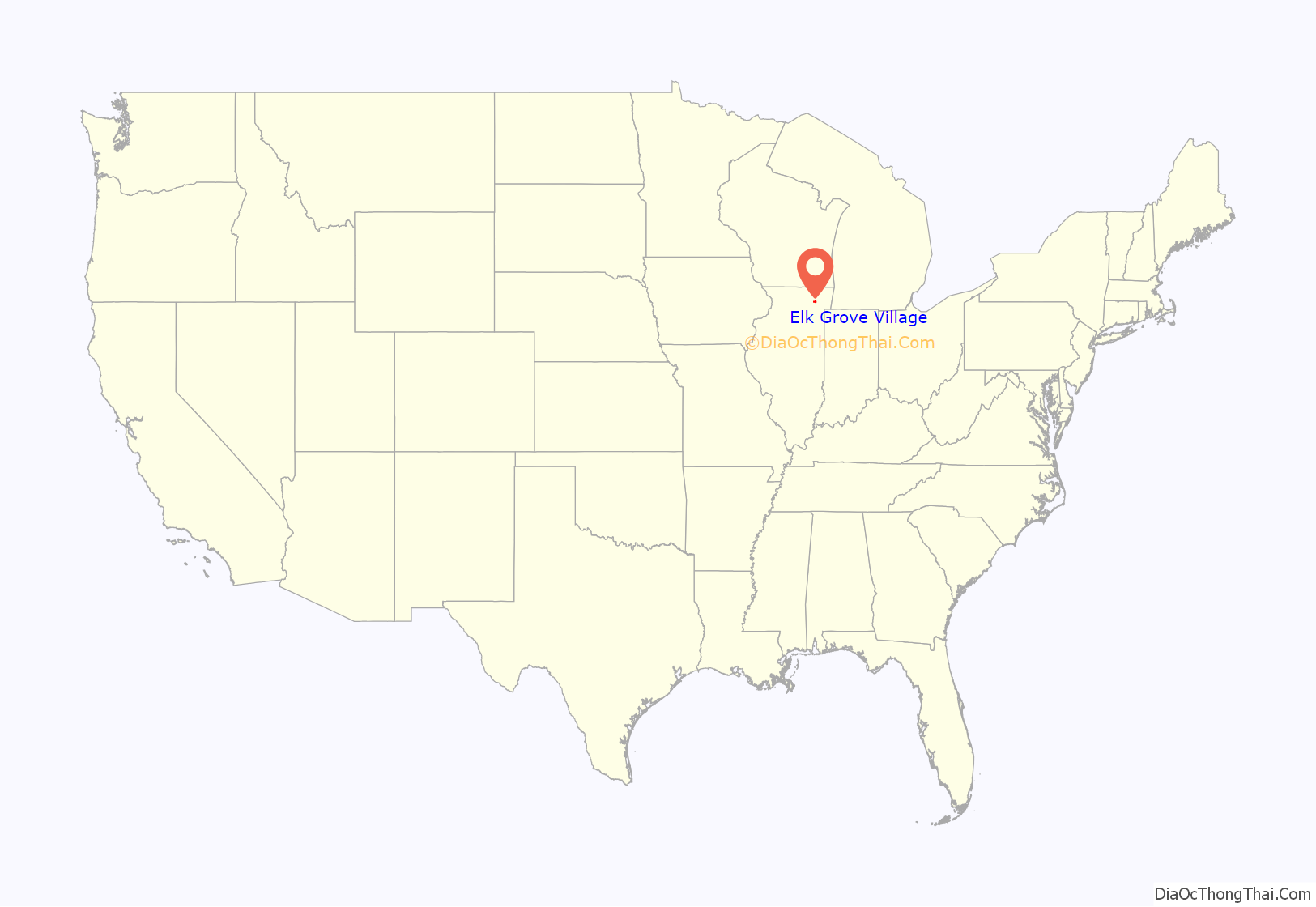
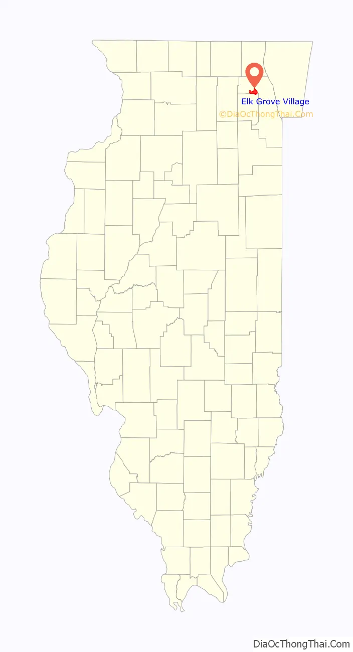
Elk Grove Village location map. Where is Elk Grove Village village?
History
Pre-colonial and colonial eras
The land that is now the Village of Elk Grove was controlled by the Miami Confederacy (which contained the Illini and Kickapoo tribes) starting in the early 1680s. The Confederacy was driven from the area by the Iroquois and Fox in the early 1700s.
The French-allied Potawatomi began to raid and take possession of Northern Illinois in the 1700s. In the late 1700s and early 1800s, the Potawatomi expanded southwards from their territory in Green Bay and westward from their holdings near Detroit, until they controlled in an L-shaped swath of territory from Green Bay to the Illinois River, and from the Mississippi River to the Maumee River.
In 1833, the Potawatomi signed the 1833 Treaty of Chicago with the United States Government. As a result of the Treaty, the United States was granted control of all land west of Lake Michigan and east of Lake Winnebago in exchange for a tract of land west of the Mississippi. The land that is now Elk Grove was ceded to the U.S. in this treaty, which sparked mass white immigration to the Northern Illinois area. The U.S. Government purchased the land for about 15 cents per acre, and then resold it to white settlers for 1.25 dollars per acre.
Aaron Miner, a revolutionary war veteran, moved to what is now in Elk Grove in 1833. He maintained friendly relations with the remaining Potawatomi, who gave him a firebrand. His wife and daughter often baked cookies which they would trade with the Potawatomi for venison and game.
Incorporation and planned community
The village was formally incorporated in 1956 in Elk Grove Township, and was founded as a planned suburban community. The majority of houses were constructed by Centex Corporation. As part of the original planning concept, the village was to be home to separated residential and industrial areas (the latter of which would later become the largest industrial park in the United States).
Prior to its development as a residential community, it was home to many farmers and their families (mostly German immigrants). Many of the major streets in and around the village are named for these farmers. Busse Farm was the final undeveloped agricultural property in the village, located between Higgins Road and Oakton Street, and was at one time considered as a location for a new Chicago Bears stadium, to replace the aging Soldier Field. In 2018 the land was sold to be developed into the Elk Grove Technology Park.
The original boundaries of Elk Grove Village’s residential area were Higgins Road (Illinois Route 72) on the north, State Road (now Arlington Heights Road) on the west, Landmeier Road on the south, and Wildwood Road on the east. The village easily doubled in size during the 1960s. By the end of the decade, most of the land between O’Hare Airport and I-290/IL-53 was developed. As the village expanded to the south and west, new roads, schools, and parks were added to the community. Rupley Elementary was the first school to be constructed in Elk Grove Village. It was named after Ira Rupley, an executive vice president at Centex who helped lead the early development of the village.
In the 1970s, the village developed land west of the expressway in Schaumburg Township along with industrial development into Addison Township. New apartment communities were constructed in Elk Grove Village along Tonne Road and Ridge Avenue. These developments have since been sectioned, and some converted to condominium homes. The village saw continuous residential, commercial, and industrial growth during the 1980s. However, Lively Junior High School was no longer necessary and saw fast-declining enrollment numbers. It was shut down by the school district, leased to Elk Grove Park District, and remodeled to become the Jack E. Claes Pavilion Recreation Facility. School District 59 built administrative offices at the site.
In 1982, Elk Grove Village was briefly in the national spotlight with one of the first reported deaths in the Chicago Tylenol murders case with the death of 12-year-old Mary Kellerman, who died after taking a Tylenol capsule that was laced with potassium cyanide. The case led to the development of more stringent FDA regulations around tamper-evident technology.
In the 1990s and 2000s, the village embarked on a series of beautification and redevelopment programs which included the installation of a clock tower at Village Hall, installation of brick-paved crosswalks in residential areas, new landscaping in boulevards and other public lands, and installation of retro-themed street lights.
In 2006, Elk Grove Village became one of the first municipalities in Illinois to enact a public smoking ban, and in 2008 became one of the first Chicago suburbs to use red light cameras. In June 2010, Elk Grove Village’s Municipal Administration and Public Safety Complex was LEED Gold Certified by the US Green Building Council.
Elk Grove Village Road Map
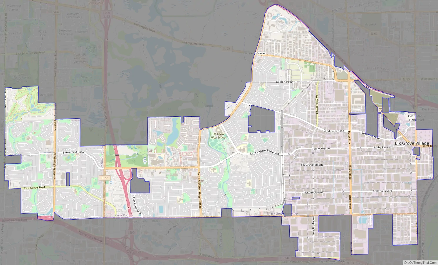
Elk Grove Village city Satellite Map

Geography
Central Elk Grove Village is located at 42°0′11″N 87°59′47″W / 42.00306°N 87.99639°W / 42.00306; -87.99639 (42.003178, −87.996418). The geographic confluence point of 42°N and 88°W is also located within the village, on Brantwood Avenue.
According to the 2021 census gazetteer files, Elk Grove Village has a total area of 11.66 square miles (30.20 km), of which 11.60 square miles (30.04 km) (or 99.51%) is land and 0.06 square miles (0.16 km) (or 0.49%) is water.
See also
Map of Illinois State and its subdivision:- Adams
- Alexander
- Bond
- Boone
- Brown
- Bureau
- Calhoun
- Carroll
- Cass
- Champaign
- Christian
- Clark
- Clay
- Clinton
- Coles
- Cook
- Crawford
- Cumberland
- De Kalb
- De Witt
- Douglas
- Dupage
- Edgar
- Edwards
- Effingham
- Fayette
- Ford
- Franklin
- Fulton
- Gallatin
- Greene
- Grundy
- Hamilton
- Hancock
- Hardin
- Henderson
- Henry
- Iroquois
- Jackson
- Jasper
- Jefferson
- Jersey
- Jo Daviess
- Johnson
- Kane
- Kankakee
- Kendall
- Knox
- La Salle
- Lake
- Lake Michigan
- Lawrence
- Lee
- Livingston
- Logan
- Macon
- Macoupin
- Madison
- Marion
- Marshall
- Mason
- Massac
- McDonough
- McHenry
- McLean
- Menard
- Mercer
- Monroe
- Montgomery
- Morgan
- Moultrie
- Ogle
- Peoria
- Perry
- Piatt
- Pike
- Pope
- Pulaski
- Putnam
- Randolph
- Richland
- Rock Island
- Saint Clair
- Saline
- Sangamon
- Schuyler
- Scott
- Shelby
- Stark
- Stephenson
- Tazewell
- Union
- Vermilion
- Wabash
- Warren
- Washington
- Wayne
- White
- Whiteside
- Will
- Williamson
- Winnebago
- Woodford
- Alabama
- Alaska
- Arizona
- Arkansas
- California
- Colorado
- Connecticut
- Delaware
- District of Columbia
- Florida
- Georgia
- Hawaii
- Idaho
- Illinois
- Indiana
- Iowa
- Kansas
- Kentucky
- Louisiana
- Maine
- Maryland
- Massachusetts
- Michigan
- Minnesota
- Mississippi
- Missouri
- Montana
- Nebraska
- Nevada
- New Hampshire
- New Jersey
- New Mexico
- New York
- North Carolina
- North Dakota
- Ohio
- Oklahoma
- Oregon
- Pennsylvania
- Rhode Island
- South Carolina
- South Dakota
- Tennessee
- Texas
- Utah
- Vermont
- Virginia
- Washington
- West Virginia
- Wisconsin
- Wyoming


