Elmwood is a city in Peoria County, Illinois, United States. The population was 2,097 at the 2010 census. Elmwood is part of the Peoria, Illinois Metropolitan Statistical Area.
| Name: | Elmwood city |
|---|---|
| LSAD Code: | 25 |
| LSAD Description: | city (suffix) |
| State: | Illinois |
| County: | Peoria County |
| Total Area: | 1.40 sq mi (3.62 km²) |
| Land Area: | 1.40 sq mi (3.62 km²) |
| Water Area: | 0.00 sq mi (0.00 km²) |
| Total Population: | 2,058 |
| Population Density: | 1,474.21/sq mi (569.23/km²) |
| Area code: | 309 |
| FIPS code: | 1723698 |
Online Interactive Map
Click on ![]() to view map in "full screen" mode.
to view map in "full screen" mode.
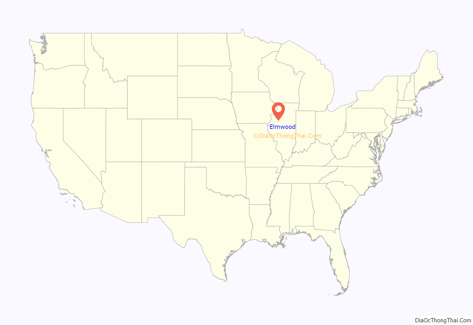
Elmwood location map. Where is Elmwood city?
History
The settlement was named after a beautiful community of elm trees near the mansion of William J. Phelps, and decided to call their settlement Elmwood
The settlement was named after a beautiful community of elm trees near the mansion of William J. Phelps, and decided to call their settlement Elmwood
On the night of June 5, 2010, an elephant trunk tornado touched down in Elmwood, destroying city hall and other area buildings, bringing down limbs and power lines, and damaging the roof of a theater. There are plans to rebuild some of their most treasured buildings, such as the community center and city hall. Although Elmwood suffered a great deal from the tornado, many town businesses re-opened.
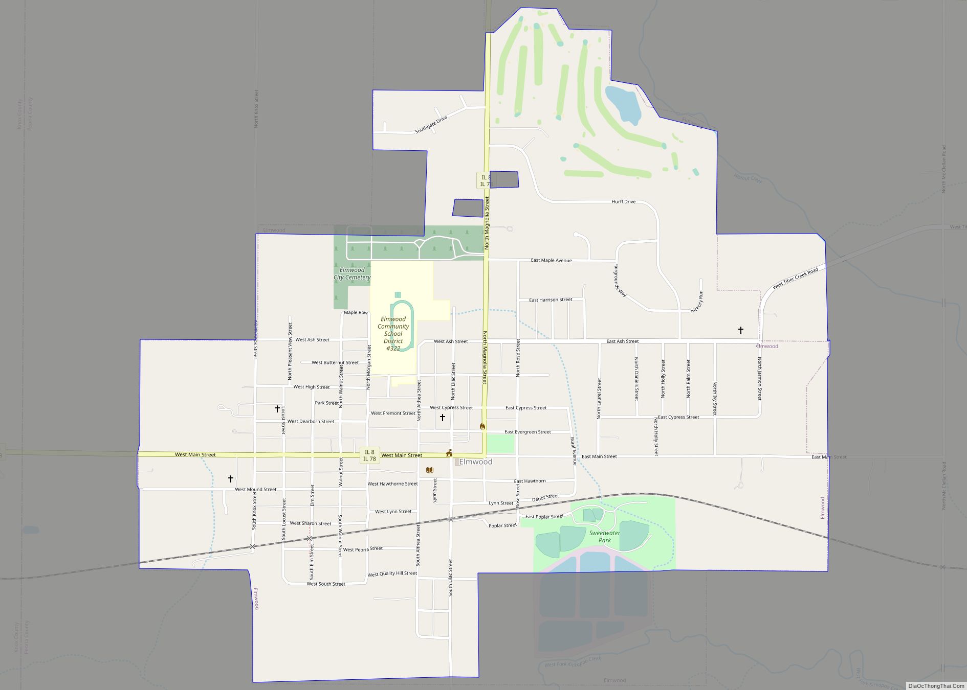
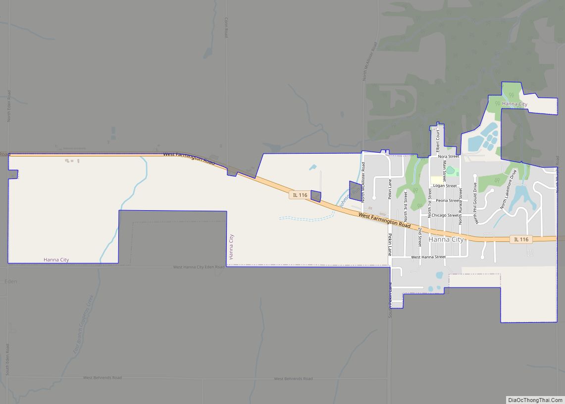
Elmwood Road Map
Elmwood city Satellite Map
Geography
Elmwood is located at 40°46′42″N 89°58′6″W / 40.77833°N 89.96833°W / 40.77833; -89.96833 (40.778378, -89.968355).
According to the 2010 census, Elmwood has a total area of 1.43 square miles (3.70 km), all land.
See also
Map of Illinois State and its subdivision:- Adams
- Alexander
- Bond
- Boone
- Brown
- Bureau
- Calhoun
- Carroll
- Cass
- Champaign
- Christian
- Clark
- Clay
- Clinton
- Coles
- Cook
- Crawford
- Cumberland
- De Kalb
- De Witt
- Douglas
- Dupage
- Edgar
- Edwards
- Effingham
- Fayette
- Ford
- Franklin
- Fulton
- Gallatin
- Greene
- Grundy
- Hamilton
- Hancock
- Hardin
- Henderson
- Henry
- Iroquois
- Jackson
- Jasper
- Jefferson
- Jersey
- Jo Daviess
- Johnson
- Kane
- Kankakee
- Kendall
- Knox
- La Salle
- Lake
- Lake Michigan
- Lawrence
- Lee
- Livingston
- Logan
- Macon
- Macoupin
- Madison
- Marion
- Marshall
- Mason
- Massac
- McDonough
- McHenry
- McLean
- Menard
- Mercer
- Monroe
- Montgomery
- Morgan
- Moultrie
- Ogle
- Peoria
- Perry
- Piatt
- Pike
- Pope
- Pulaski
- Putnam
- Randolph
- Richland
- Rock Island
- Saint Clair
- Saline
- Sangamon
- Schuyler
- Scott
- Shelby
- Stark
- Stephenson
- Tazewell
- Union
- Vermilion
- Wabash
- Warren
- Washington
- Wayne
- White
- Whiteside
- Will
- Williamson
- Winnebago
- Woodford
- Alabama
- Alaska
- Arizona
- Arkansas
- California
- Colorado
- Connecticut
- Delaware
- District of Columbia
- Florida
- Georgia
- Hawaii
- Idaho
- Illinois
- Indiana
- Iowa
- Kansas
- Kentucky
- Louisiana
- Maine
- Maryland
- Massachusetts
- Michigan
- Minnesota
- Mississippi
- Missouri
- Montana
- Nebraska
- Nevada
- New Hampshire
- New Jersey
- New Mexico
- New York
- North Carolina
- North Dakota
- Ohio
- Oklahoma
- Oregon
- Pennsylvania
- Rhode Island
- South Carolina
- South Dakota
- Tennessee
- Texas
- Utah
- Vermont
- Virginia
- Washington
- West Virginia
- Wisconsin
- Wyoming
