Flanagan is a village in Livingston County, Illinois, United States. The population was 1,110 at the 2010 census.
| Name: | Flanagan village |
|---|---|
| LSAD Code: | 47 |
| LSAD Description: | village (suffix) |
| State: | Illinois |
| County: | Livingston County |
| Elevation: | 670 ft (200 m) |
| Total Area: | 0.58 sq mi (1.49 km²) |
| Land Area: | 0.58 sq mi (1.49 km²) |
| Water Area: | 0.00 sq mi (0.00 km²) |
| Total Population: | 1,010 |
| Population Density: | 1,753.47/sq mi (677.54/km²) |
| ZIP code: | 61740 |
| Area code: | 815 |
| FIPS code: | 1726311 |
| Website: | www.flanaganil.org |
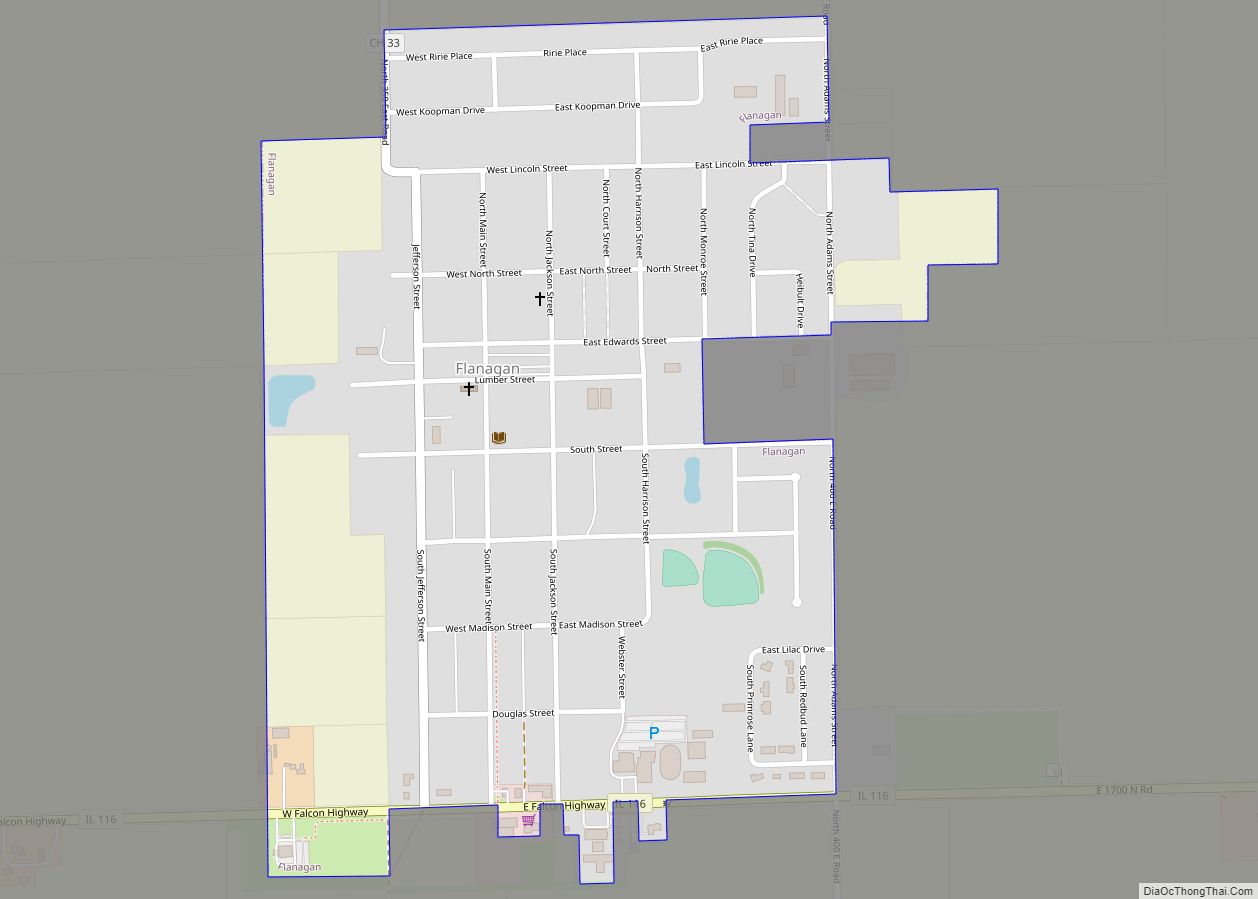
Online Interactive Map
Click on ![]() to view map in "full screen" mode.
to view map in "full screen" mode.
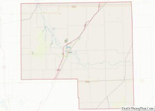
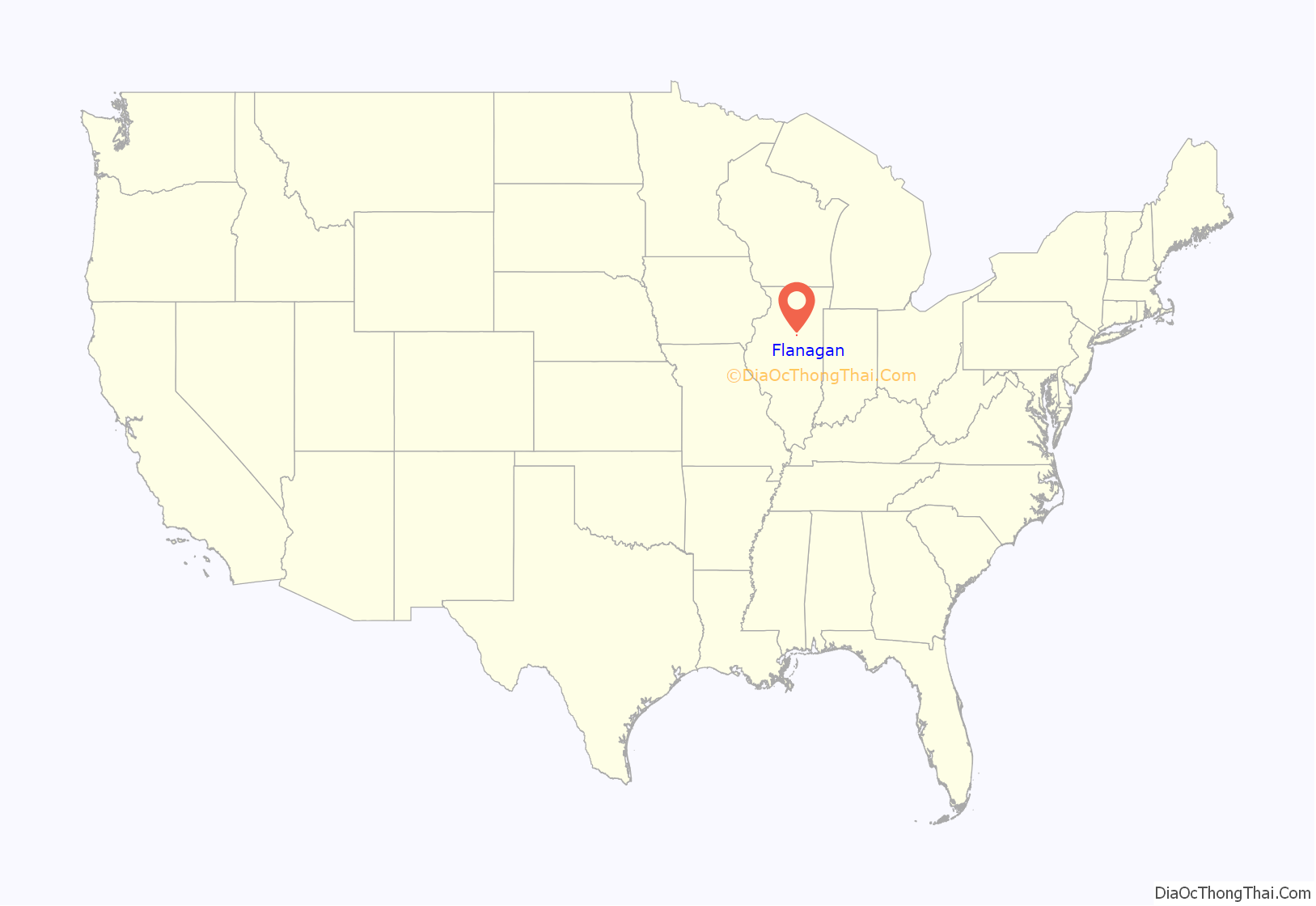
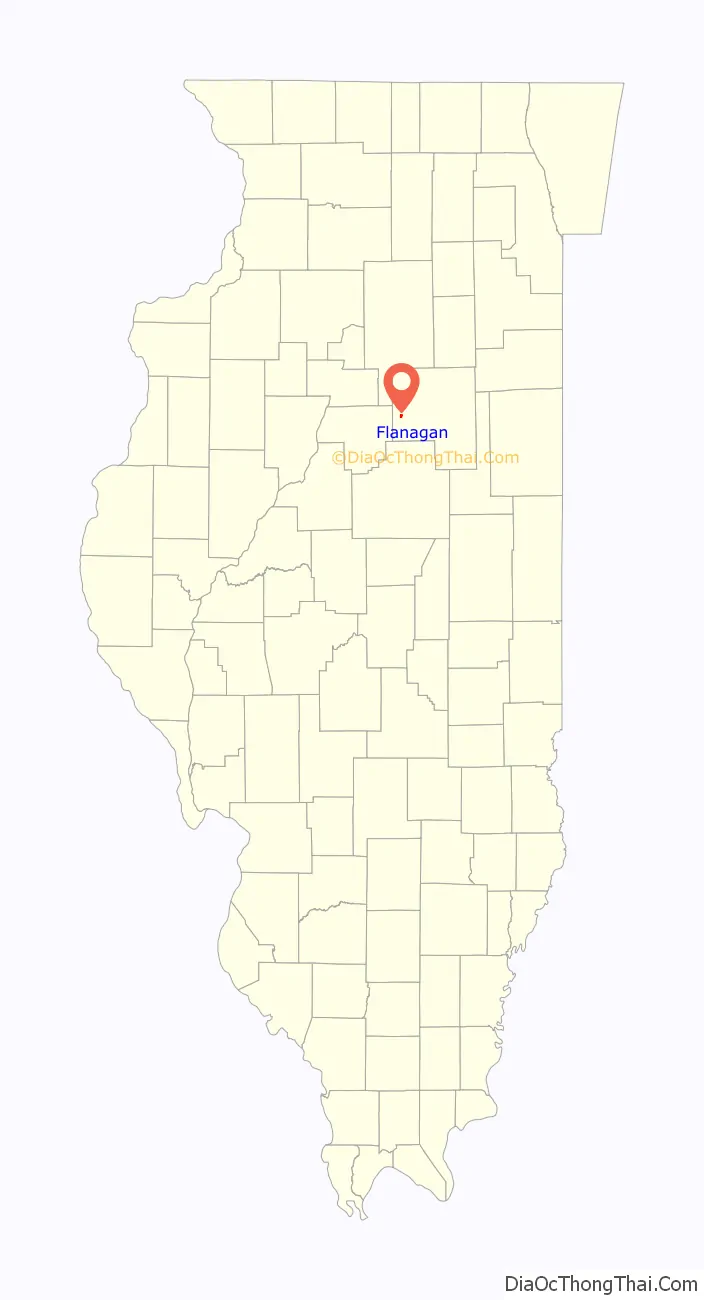
Flanagan location map. Where is Flanagan village?
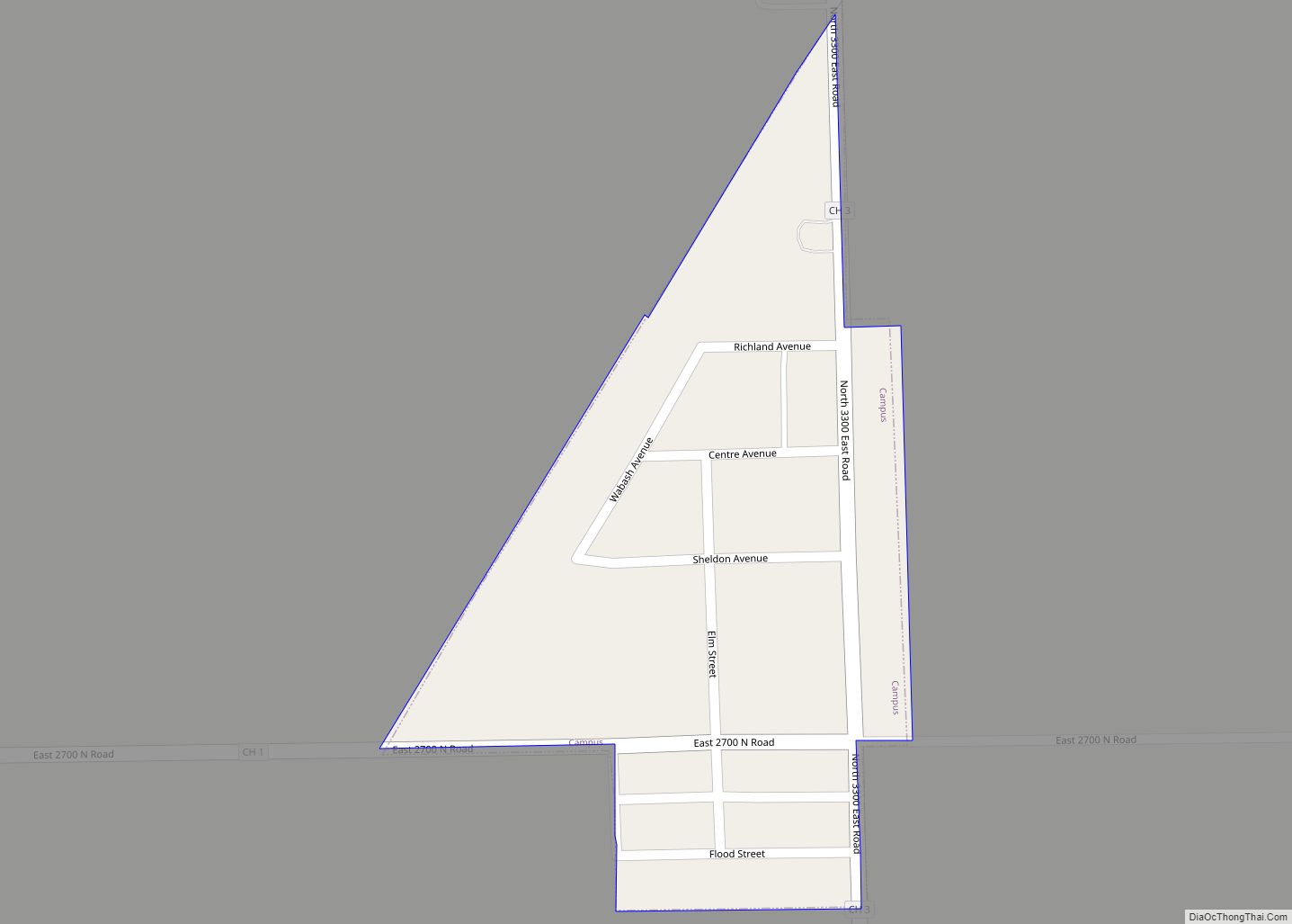
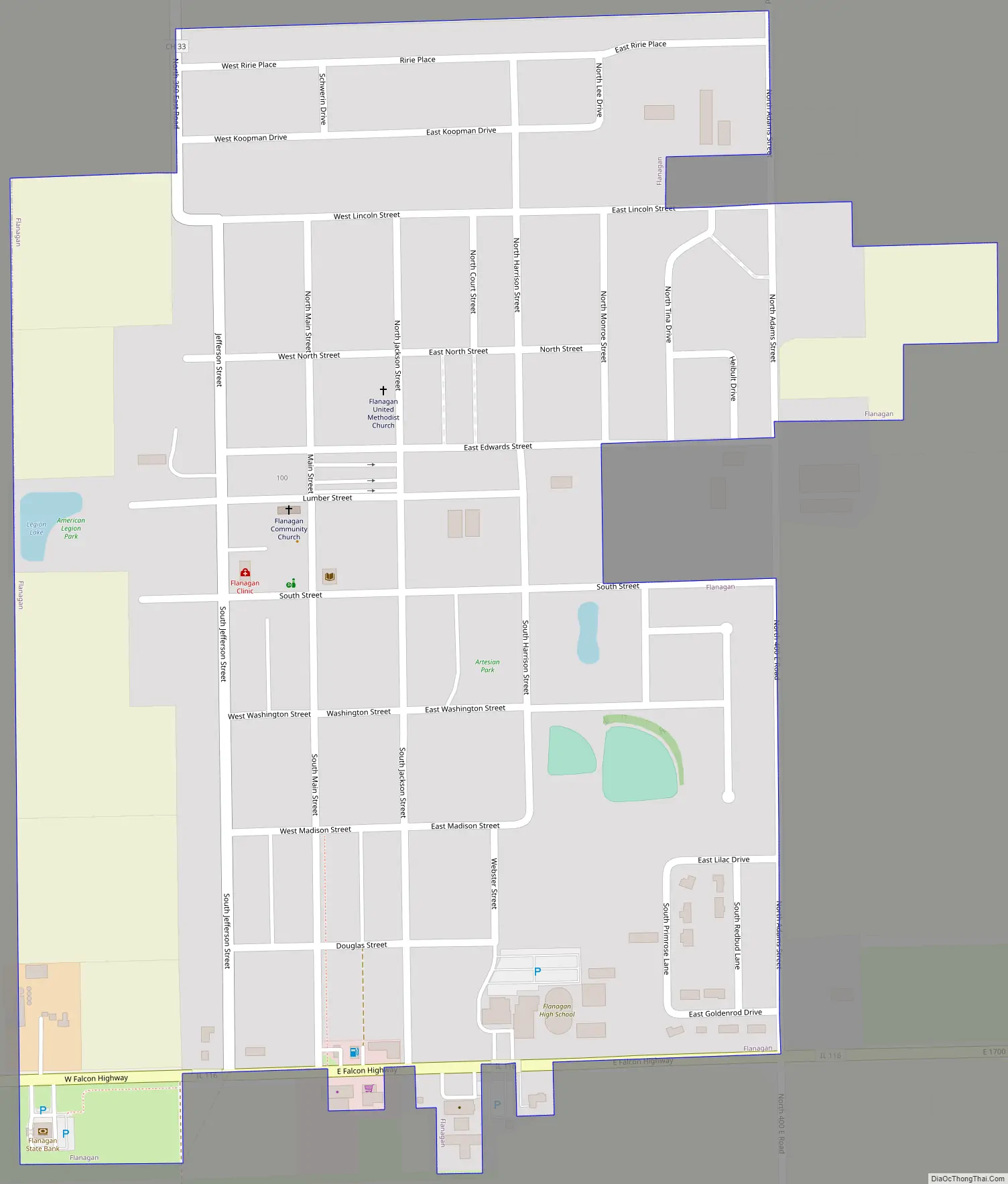
Flanagan Road Map
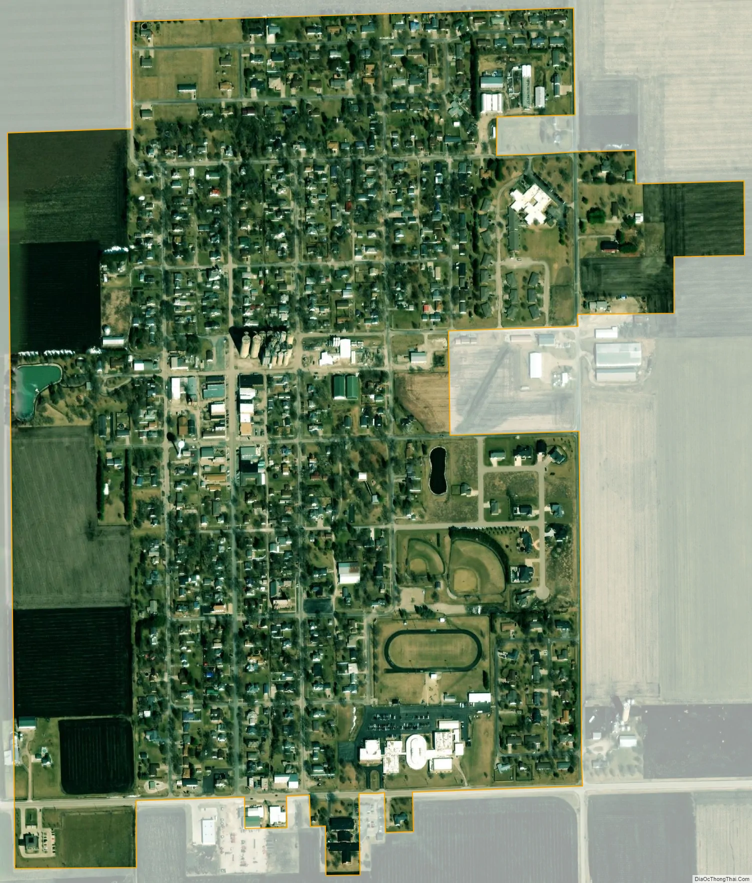
Flanagan city Satellite Map
Geography
Flanagan is located in western Livingston County at 40°52′39″N 88°51′32″W / 40.877414°N 88.858902°W / 40.877414; -88.858902. Illinois Route 116 passes along the southern edge of the village, leading east 12 miles (19 km) to Pontiac, the county seat, and west 10 miles (16 km) to Woodford.
According to the 2010 census, Flanagan has a total area of 0.53 square miles (1.37 km), all land. A small man-made lake (originally four separate lakes, some being filled in), called the Legion Lake, is located on the west side of the village. A walking trail surrounds it and a park shelter is located on the site. Artesian Park, another small park within the village boundaries, is located on the east side of town. It boasts two picnic shelters, a tennis court and playground equipment. A small business district of roughly one block in length is located in the center of town. Just north of this, the Flanagan Co-op can be found, a complex of several grain elevators and silos at Main and Lumber streets.
See also
Map of Illinois State and its subdivision:- Adams
- Alexander
- Bond
- Boone
- Brown
- Bureau
- Calhoun
- Carroll
- Cass
- Champaign
- Christian
- Clark
- Clay
- Clinton
- Coles
- Cook
- Crawford
- Cumberland
- De Kalb
- De Witt
- Douglas
- Dupage
- Edgar
- Edwards
- Effingham
- Fayette
- Ford
- Franklin
- Fulton
- Gallatin
- Greene
- Grundy
- Hamilton
- Hancock
- Hardin
- Henderson
- Henry
- Iroquois
- Jackson
- Jasper
- Jefferson
- Jersey
- Jo Daviess
- Johnson
- Kane
- Kankakee
- Kendall
- Knox
- La Salle
- Lake
- Lake Michigan
- Lawrence
- Lee
- Livingston
- Logan
- Macon
- Macoupin
- Madison
- Marion
- Marshall
- Mason
- Massac
- McDonough
- McHenry
- McLean
- Menard
- Mercer
- Monroe
- Montgomery
- Morgan
- Moultrie
- Ogle
- Peoria
- Perry
- Piatt
- Pike
- Pope
- Pulaski
- Putnam
- Randolph
- Richland
- Rock Island
- Saint Clair
- Saline
- Sangamon
- Schuyler
- Scott
- Shelby
- Stark
- Stephenson
- Tazewell
- Union
- Vermilion
- Wabash
- Warren
- Washington
- Wayne
- White
- Whiteside
- Will
- Williamson
- Winnebago
- Woodford
- Alabama
- Alaska
- Arizona
- Arkansas
- California
- Colorado
- Connecticut
- Delaware
- District of Columbia
- Florida
- Georgia
- Hawaii
- Idaho
- Illinois
- Indiana
- Iowa
- Kansas
- Kentucky
- Louisiana
- Maine
- Maryland
- Massachusetts
- Michigan
- Minnesota
- Mississippi
- Missouri
- Montana
- Nebraska
- Nevada
- New Hampshire
- New Jersey
- New Mexico
- New York
- North Carolina
- North Dakota
- Ohio
- Oklahoma
- Oregon
- Pennsylvania
- Rhode Island
- South Carolina
- South Dakota
- Tennessee
- Texas
- Utah
- Vermont
- Virginia
- Washington
- West Virginia
- Wisconsin
- Wyoming