Fulton is a city in Whiteside County, Illinois, United States. The population was 3,481 at the 2010 census, down from 3,881 in 2000. Fulton is located across the Mississippi River from Clinton, Iowa.
| Name: | Fulton city |
|---|---|
| LSAD Code: | 25 |
| LSAD Description: | city (suffix) |
| State: | Illinois |
| County: | Whiteside County |
| Total Area: | 2.80 sq mi (7.25 km²) |
| Land Area: | 2.34 sq mi (6.05 km²) |
| Water Area: | 0.46 sq mi (1.19 km²) |
| Total Population: | 3,647 |
| Population Density: | 1,559.88/sq mi (602.37/km²) |
| Area code: | 815 |
| FIPS code: | 1728144 |
| Website: | www.cityoffulton.us |
Online Interactive Map
Click on ![]() to view map in "full screen" mode.
to view map in "full screen" mode.
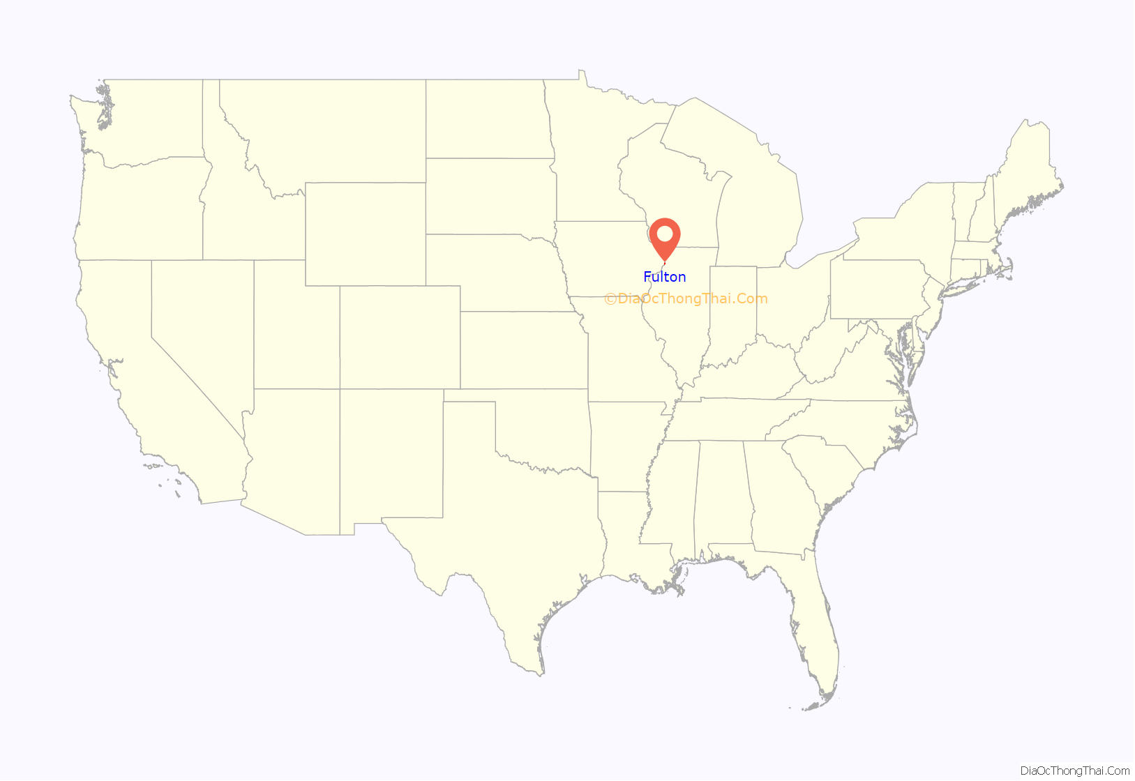
Fulton location map. Where is Fulton city?
History
A post office called Fulton has been in operation since 1838. The city was named for Robert Fulton, inventor of the steamboat.
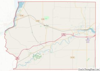
Fulton Road Map
Fulton city Satellite Map
Geography
Fulton is located at 41°52′1″N 90°9′32″W / 41.86694°N 90.15889°W / 41.86694; -90.15889 (41.866873, -90.158834), on the east bank of the Mississippi River near Lock and Dam #13. The most northeastly portion of the county is in the Driftless Area of Illinois, where the Apple River meets the Upper Mississippi River.
According to the 2010 census, Fulton has a total area of 2.334 square miles (6.05 km), of which 2.27 square miles (5.88 km) (or 97.26%) is land and 0.064 square miles (0.17 km) (or 2.74%) is water.
Fulton is a city most known for its pride in its Dutch heritage. This is shown through the addition of a traditional Dutch windmill, De Immigrant, located near the city’s dike, which borders the Mississippi. Other local attractions include: the Martin House Museum, Heritage Canyon, the Dutch Days festival held annually on the first weekend of May, and its view of the Mississippi River.
Climate
See also
Map of Illinois State and its subdivision:- Adams
- Alexander
- Bond
- Boone
- Brown
- Bureau
- Calhoun
- Carroll
- Cass
- Champaign
- Christian
- Clark
- Clay
- Clinton
- Coles
- Cook
- Crawford
- Cumberland
- De Kalb
- De Witt
- Douglas
- Dupage
- Edgar
- Edwards
- Effingham
- Fayette
- Ford
- Franklin
- Fulton
- Gallatin
- Greene
- Grundy
- Hamilton
- Hancock
- Hardin
- Henderson
- Henry
- Iroquois
- Jackson
- Jasper
- Jefferson
- Jersey
- Jo Daviess
- Johnson
- Kane
- Kankakee
- Kendall
- Knox
- La Salle
- Lake
- Lake Michigan
- Lawrence
- Lee
- Livingston
- Logan
- Macon
- Macoupin
- Madison
- Marion
- Marshall
- Mason
- Massac
- McDonough
- McHenry
- McLean
- Menard
- Mercer
- Monroe
- Montgomery
- Morgan
- Moultrie
- Ogle
- Peoria
- Perry
- Piatt
- Pike
- Pope
- Pulaski
- Putnam
- Randolph
- Richland
- Rock Island
- Saint Clair
- Saline
- Sangamon
- Schuyler
- Scott
- Shelby
- Stark
- Stephenson
- Tazewell
- Union
- Vermilion
- Wabash
- Warren
- Washington
- Wayne
- White
- Whiteside
- Will
- Williamson
- Winnebago
- Woodford
- Alabama
- Alaska
- Arizona
- Arkansas
- California
- Colorado
- Connecticut
- Delaware
- District of Columbia
- Florida
- Georgia
- Hawaii
- Idaho
- Illinois
- Indiana
- Iowa
- Kansas
- Kentucky
- Louisiana
- Maine
- Maryland
- Massachusetts
- Michigan
- Minnesota
- Mississippi
- Missouri
- Montana
- Nebraska
- Nevada
- New Hampshire
- New Jersey
- New Mexico
- New York
- North Carolina
- North Dakota
- Ohio
- Oklahoma
- Oregon
- Pennsylvania
- Rhode Island
- South Carolina
- South Dakota
- Tennessee
- Texas
- Utah
- Vermont
- Virginia
- Washington
- West Virginia
- Wisconsin
- Wyoming
