Hamburg is a village in Calhoun County, Illinois, United States. The population was 99 at the 2020 census, down from 128 at the 2010 census.
| Name: | Hamburg village |
|---|---|
| LSAD Code: | 47 |
| LSAD Description: | village (suffix) |
| State: | Illinois |
| County: | Calhoun County |
| Elevation: | 554 ft (169 m) |
| Total Area: | 0.656 sq mi (1.70 km²) |
| Land Area: | 0.522 sq mi (1.35 km²) |
| Water Area: | 0.134 sq mi (0.35 km²) |
| Total Population: | 99 |
| Population Density: | 150/sq mi (58/km²) |
| Area code: | 618 |
| FIPS code: | 1732395 |
| GNISfeature ID: | 2398227 |
| Website: | www.hamburgillinois.com |
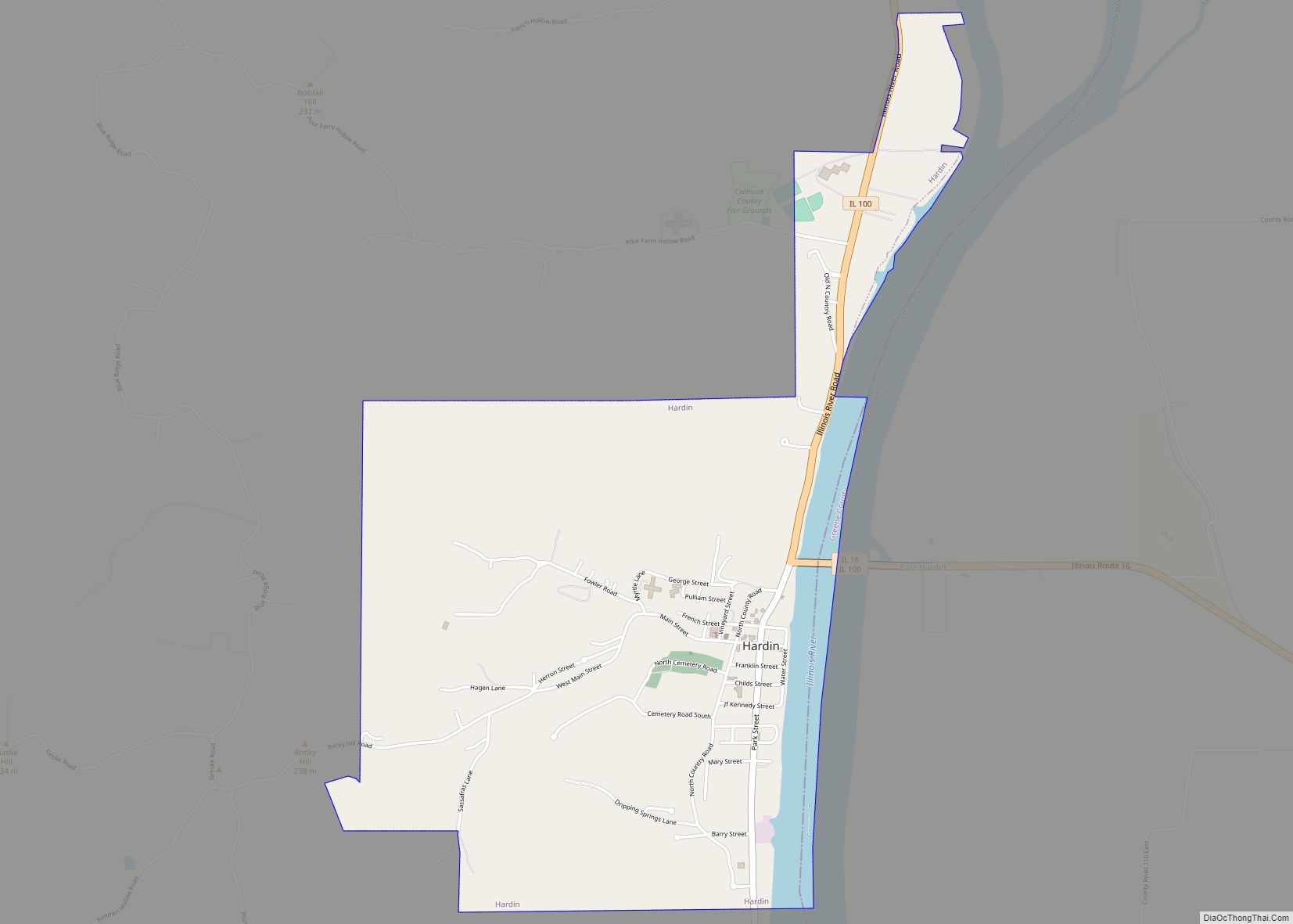
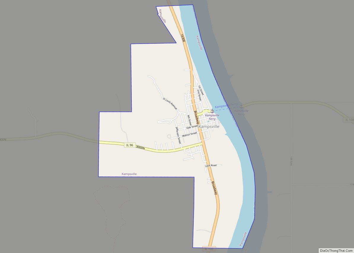
Online Interactive Map
Click on ![]() to view map in "full screen" mode.
to view map in "full screen" mode.
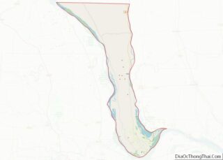
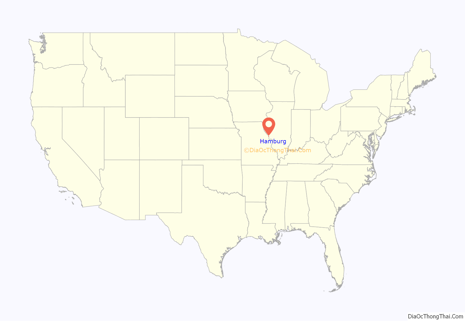
Hamburg location map. Where is Hamburg village?
History
One hundred lots in the town of Hamburg were offered for sale by John Shaw in 1836. Once a thriving river community where apples were loaded and shipped, banks were busy and profitable, stores were laden with goods and shoppers, Hamburg now sits quietly along and sometimes in the waters of the Mississippi. The only public facility is the Hamburg Post Office. A bluff top monument overlooks the village, indicating the burial of riverboat Captain Swarnes who wished to be buried upright to command a panoramic view of the river. National Geographic, September 1975; pages 308 and 309, published a picture of the Delta Queen heading up the Mississippi river past Hamburg, using Captain Swarnes’ monument as the photographer’s vantage point.
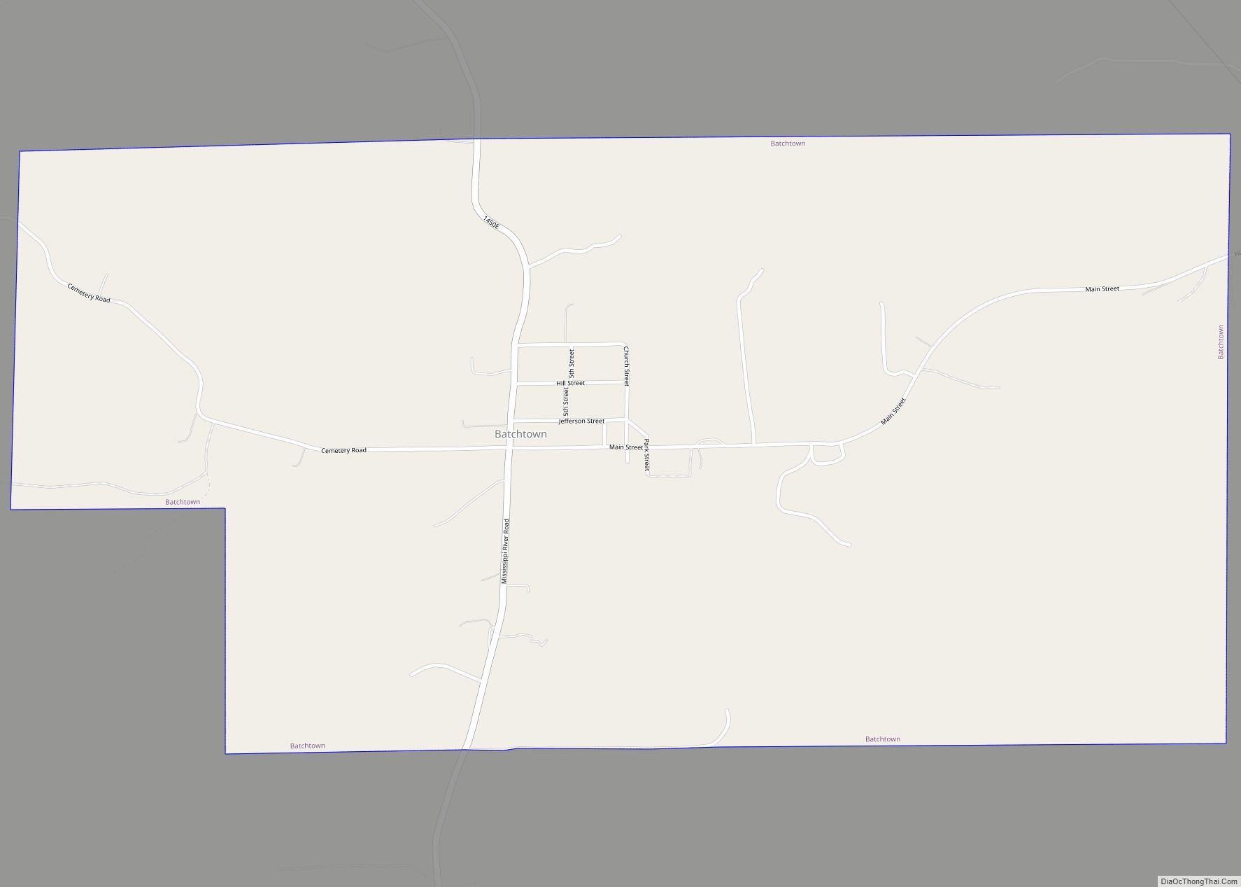
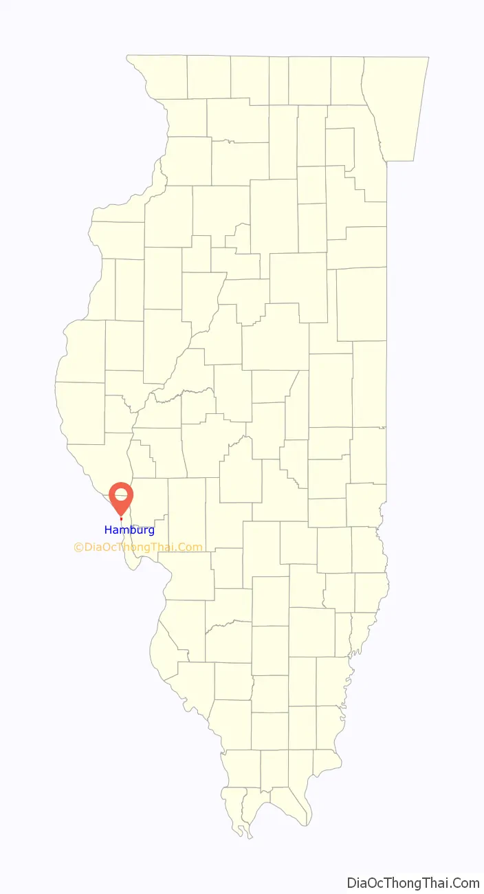
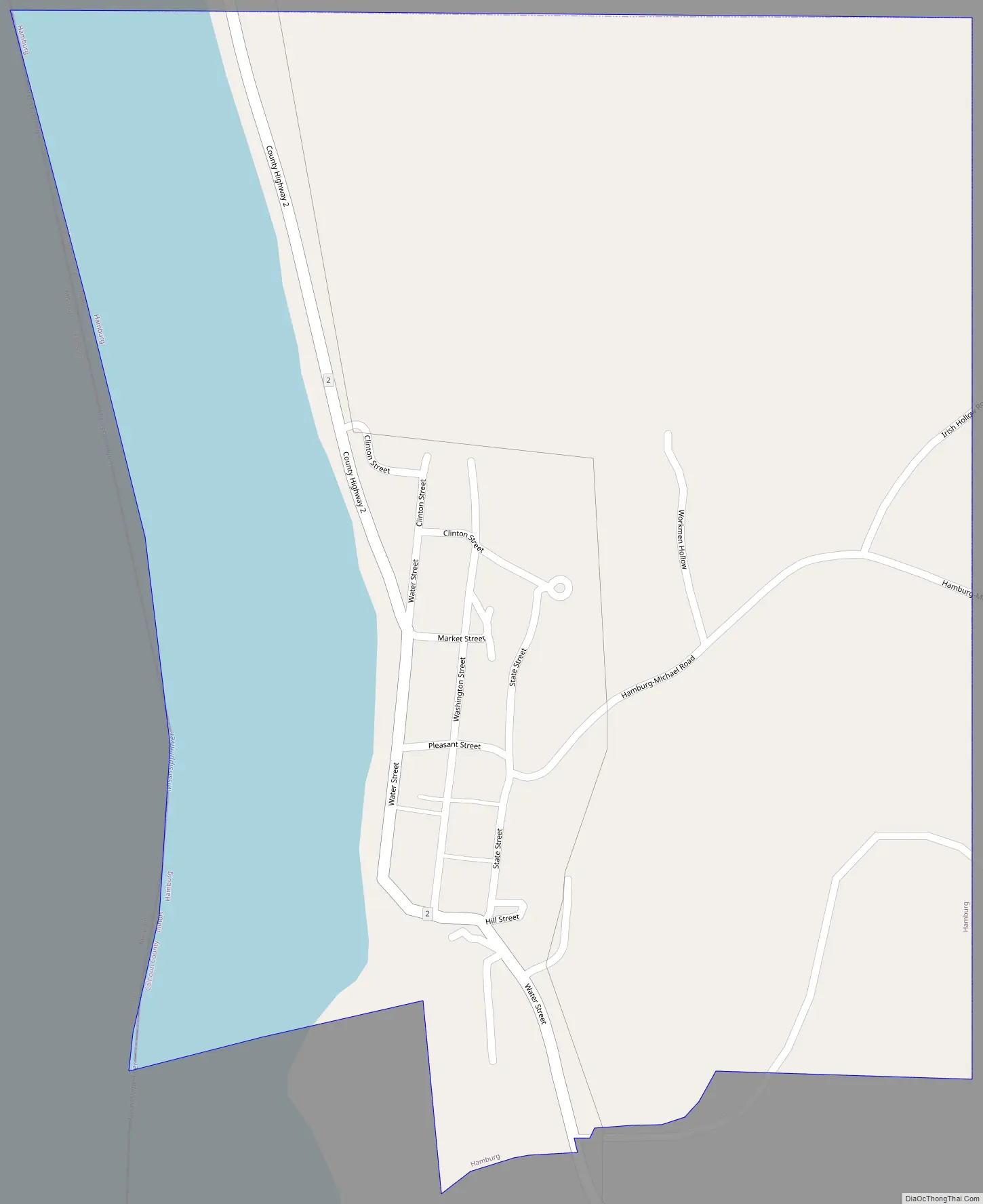
Hamburg Road Map
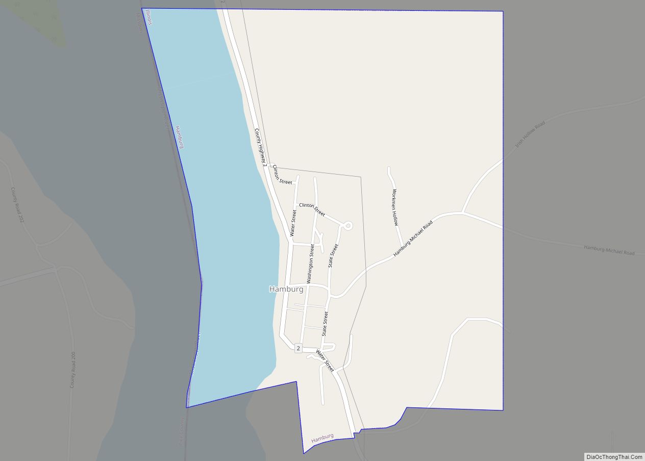
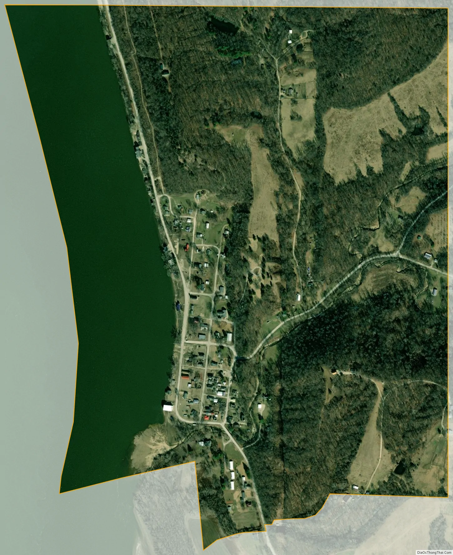
Hamburg city Satellite Map
Geography
Hamburg is located at 39°13′53″N 90°42′58″W / 39.23139°N 90.71611°W / 39.23139; -90.71611 (39.231277, -90.716207).
According to the 2021 census gazetteer files, Hamburg has a total area of 0.66 square miles (1.71 km), of which 0.52 square miles (1.35 km) (or 79.57%) is land and 0.13 square miles (0.34 km) (or 20.43%) is water.
See also
Map of Illinois State and its subdivision:- Adams
- Alexander
- Bond
- Boone
- Brown
- Bureau
- Calhoun
- Carroll
- Cass
- Champaign
- Christian
- Clark
- Clay
- Clinton
- Coles
- Cook
- Crawford
- Cumberland
- De Kalb
- De Witt
- Douglas
- Dupage
- Edgar
- Edwards
- Effingham
- Fayette
- Ford
- Franklin
- Fulton
- Gallatin
- Greene
- Grundy
- Hamilton
- Hancock
- Hardin
- Henderson
- Henry
- Iroquois
- Jackson
- Jasper
- Jefferson
- Jersey
- Jo Daviess
- Johnson
- Kane
- Kankakee
- Kendall
- Knox
- La Salle
- Lake
- Lake Michigan
- Lawrence
- Lee
- Livingston
- Logan
- Macon
- Macoupin
- Madison
- Marion
- Marshall
- Mason
- Massac
- McDonough
- McHenry
- McLean
- Menard
- Mercer
- Monroe
- Montgomery
- Morgan
- Moultrie
- Ogle
- Peoria
- Perry
- Piatt
- Pike
- Pope
- Pulaski
- Putnam
- Randolph
- Richland
- Rock Island
- Saint Clair
- Saline
- Sangamon
- Schuyler
- Scott
- Shelby
- Stark
- Stephenson
- Tazewell
- Union
- Vermilion
- Wabash
- Warren
- Washington
- Wayne
- White
- Whiteside
- Will
- Williamson
- Winnebago
- Woodford
- Alabama
- Alaska
- Arizona
- Arkansas
- California
- Colorado
- Connecticut
- Delaware
- District of Columbia
- Florida
- Georgia
- Hawaii
- Idaho
- Illinois
- Indiana
- Iowa
- Kansas
- Kentucky
- Louisiana
- Maine
- Maryland
- Massachusetts
- Michigan
- Minnesota
- Mississippi
- Missouri
- Montana
- Nebraska
- Nevada
- New Hampshire
- New Jersey
- New Mexico
- New York
- North Carolina
- North Dakota
- Ohio
- Oklahoma
- Oregon
- Pennsylvania
- Rhode Island
- South Carolina
- South Dakota
- Tennessee
- Texas
- Utah
- Vermont
- Virginia
- Washington
- West Virginia
- Wisconsin
- Wyoming