Hampton is a village in Rock Island County, Illinois, United States. The population was 1,863 at the 2010 census.
| Name: | Hampton village |
|---|---|
| LSAD Code: | 47 |
| LSAD Description: | village (suffix) |
| State: | Illinois |
| County: | Rock Island County |
| Total Area: | 1.49 sq mi (3.85 km²) |
| Land Area: | 1.46 sq mi (3.78 km²) |
| Water Area: | 0.03 sq mi (0.07 km²) |
| Total Population: | 1,779 |
| Population Density: | 1,217.66/sq mi (470.03/km²) |
| Area code: | 309 |
| FIPS code: | 1732564 |
| Website: | hamptonil.org |
Online Interactive Map
Click on ![]() to view map in "full screen" mode.
to view map in "full screen" mode.
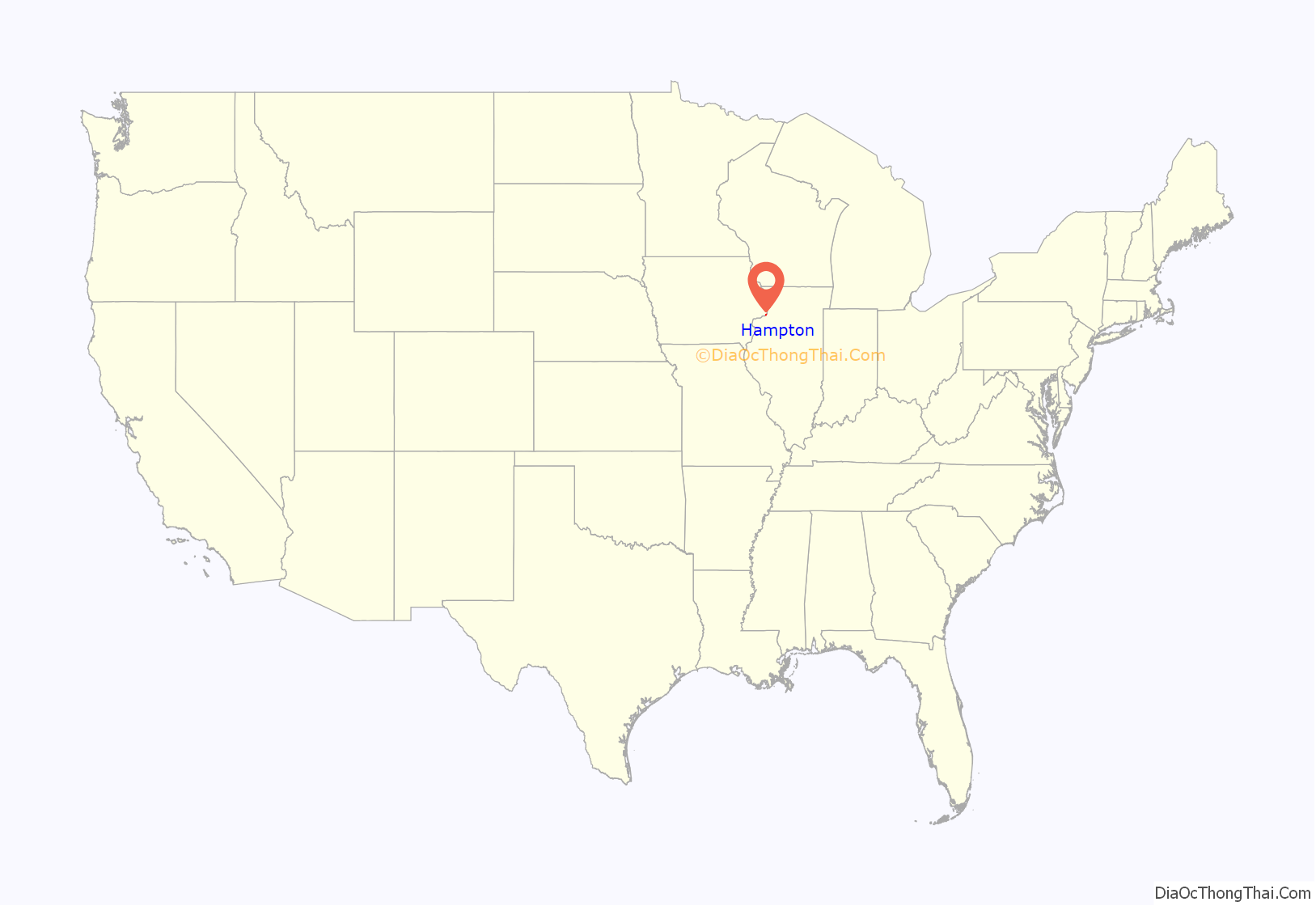
Hampton location map. Where is Hampton village?
History
The village was originally in territory claimed by the Sauk and Fox Indians, and several Woodland era Native mounds are located in the village limits, and in the adjacent Illiniwek Forest Preserve. The village in 1834 was platted as “Milan” (not the village 13 miles south-southwest in Illinois—see Milan, Illinois for more). The “paper town” did not sell initially because of the swampy riverfront, and being adjacent to the north end of the Rock Island Rapids. However, settlers drained the swamps by the end of the 19th century, and the village was founded by 1900 as Hampton— the original name of Milan, Illinois. Black’s Store, which is listed on the National Register of Historic Places, was the first mercantile store to open in Northwest Illinois.
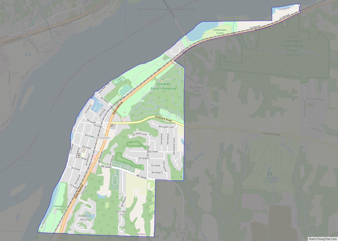
Hampton Road Map
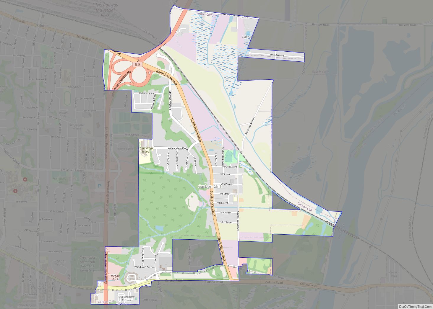
Hampton city Satellite Map
Geography
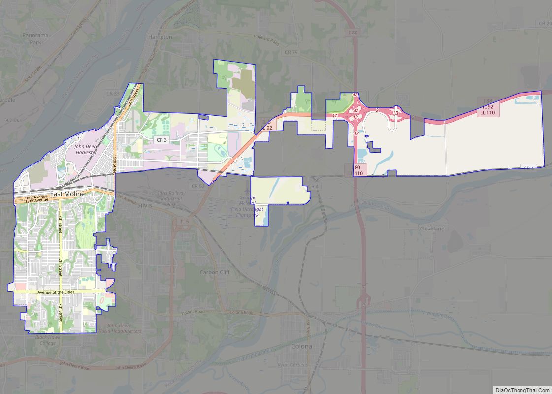
Hampton is located at 41°33′27″N 90°24′29″W / 41.55750°N 90.40806°W / 41.55750; -90.40806 (41.557583, -90.407993).
According to the 2010 census, Hampton has a total area of 1.65 square miles (4.27 km), all land.
See also
Map of Illinois State and its subdivision:- Adams
- Alexander
- Bond
- Boone
- Brown
- Bureau
- Calhoun
- Carroll
- Cass
- Champaign
- Christian
- Clark
- Clay
- Clinton
- Coles
- Cook
- Crawford
- Cumberland
- De Kalb
- De Witt
- Douglas
- Dupage
- Edgar
- Edwards
- Effingham
- Fayette
- Ford
- Franklin
- Fulton
- Gallatin
- Greene
- Grundy
- Hamilton
- Hancock
- Hardin
- Henderson
- Henry
- Iroquois
- Jackson
- Jasper
- Jefferson
- Jersey
- Jo Daviess
- Johnson
- Kane
- Kankakee
- Kendall
- Knox
- La Salle
- Lake
- Lake Michigan
- Lawrence
- Lee
- Livingston
- Logan
- Macon
- Macoupin
- Madison
- Marion
- Marshall
- Mason
- Massac
- McDonough
- McHenry
- McLean
- Menard
- Mercer
- Monroe
- Montgomery
- Morgan
- Moultrie
- Ogle
- Peoria
- Perry
- Piatt
- Pike
- Pope
- Pulaski
- Putnam
- Randolph
- Richland
- Rock Island
- Saint Clair
- Saline
- Sangamon
- Schuyler
- Scott
- Shelby
- Stark
- Stephenson
- Tazewell
- Union
- Vermilion
- Wabash
- Warren
- Washington
- Wayne
- White
- Whiteside
- Will
- Williamson
- Winnebago
- Woodford
- Alabama
- Alaska
- Arizona
- Arkansas
- California
- Colorado
- Connecticut
- Delaware
- District of Columbia
- Florida
- Georgia
- Hawaii
- Idaho
- Illinois
- Indiana
- Iowa
- Kansas
- Kentucky
- Louisiana
- Maine
- Maryland
- Massachusetts
- Michigan
- Minnesota
- Mississippi
- Missouri
- Montana
- Nebraska
- Nevada
- New Hampshire
- New Jersey
- New Mexico
- New York
- North Carolina
- North Dakota
- Ohio
- Oklahoma
- Oregon
- Pennsylvania
- Rhode Island
- South Carolina
- South Dakota
- Tennessee
- Texas
- Utah
- Vermont
- Virginia
- Washington
- West Virginia
- Wisconsin
- Wyoming
