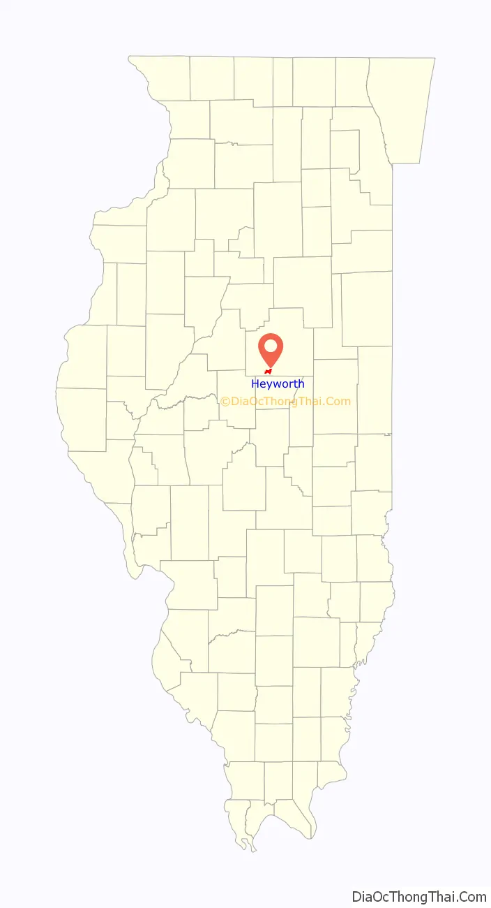
Heyworth is a village in McLean County, Illinois, United States. It was founded in 1859. As of the 2020 census, Heyworth had a population of 2,791. It is part of the Bloomington–Normal Metropolitan Statistical Area.
| Name: | Heyworth village |
|---|---|
| LSAD Code: | 47 |
| LSAD Description: | village (suffix) |
| State: | Illinois |
| County: | McLean County |
| Elevation: | 712 ft (217 m) |
| Total Area: | 3.39 sq mi (8.78 km²) |
| Land Area: | 3.33 sq mi (8.62 km²) |
| Water Area: | 0.06 sq mi (0.16 km²) |
| Total Population: | 2,791 |
| Population Density: | 838.64/sq mi (323.79/km²) |
| ZIP code: | 61745 |
| Area code: | 309 |
| FIPS code: | 1734449 |
| Website: | heyworth-il.gov |
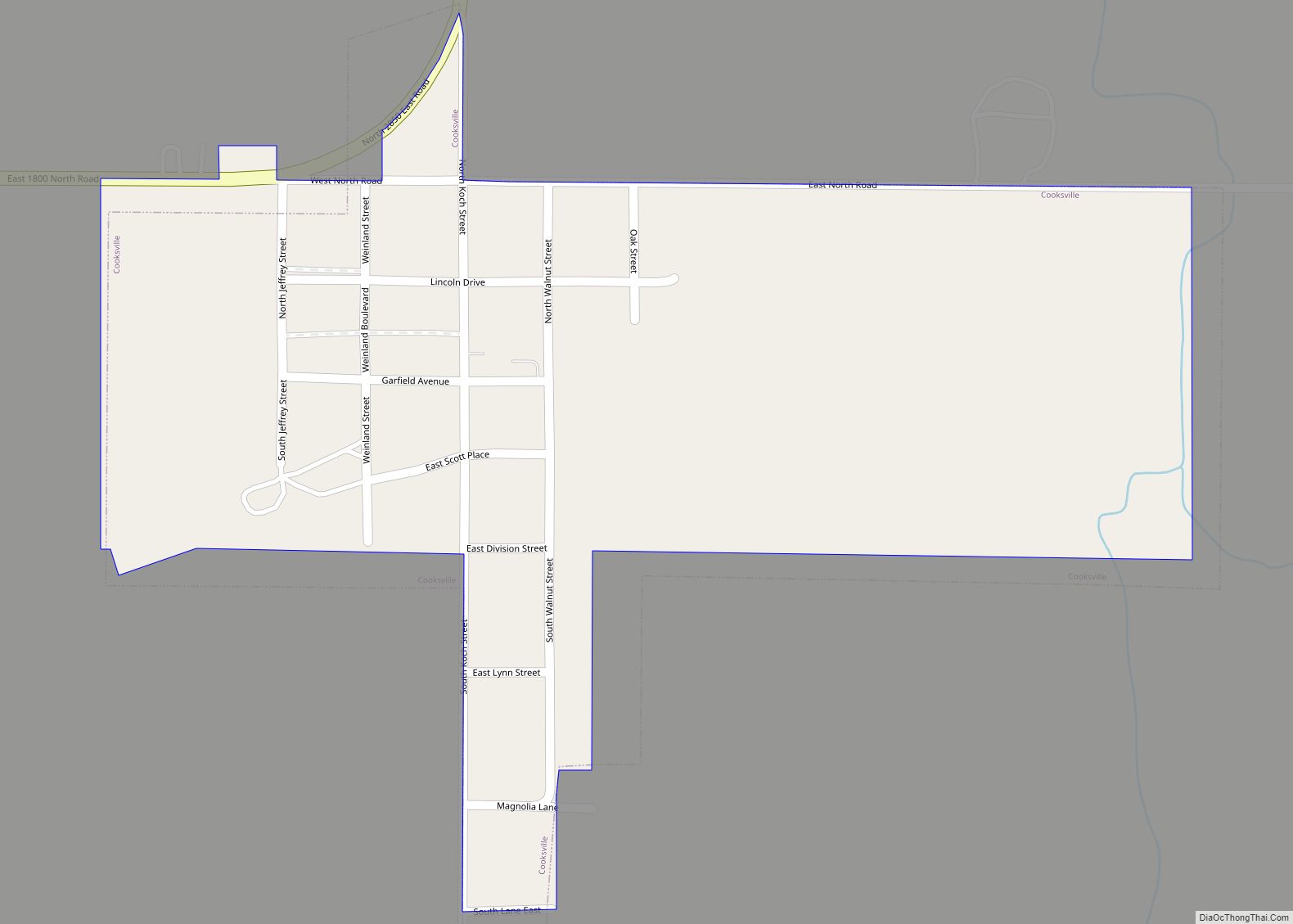
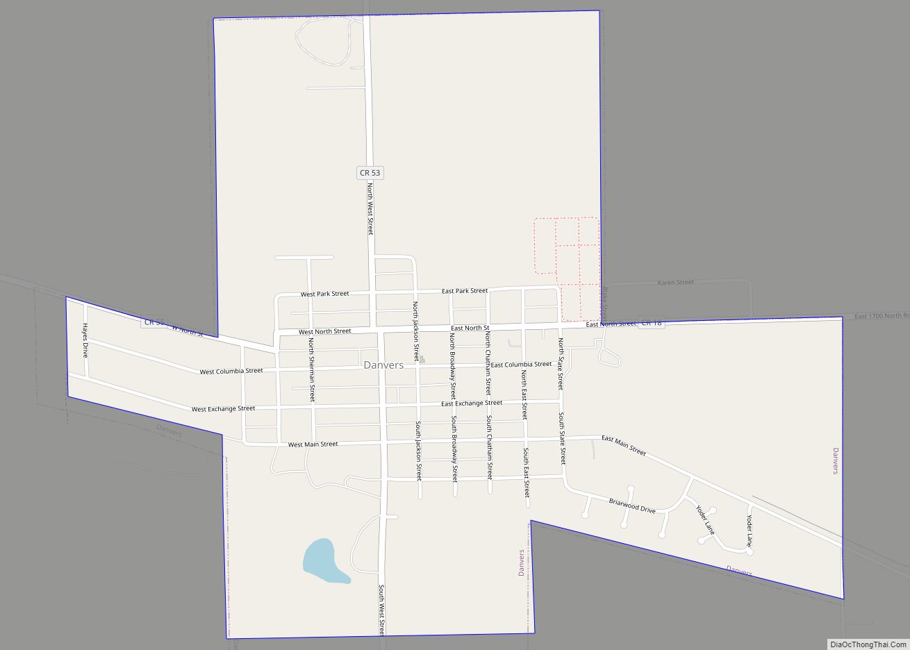
Online Interactive Map
Click on ![]() to view map in "full screen" mode.
to view map in "full screen" mode.
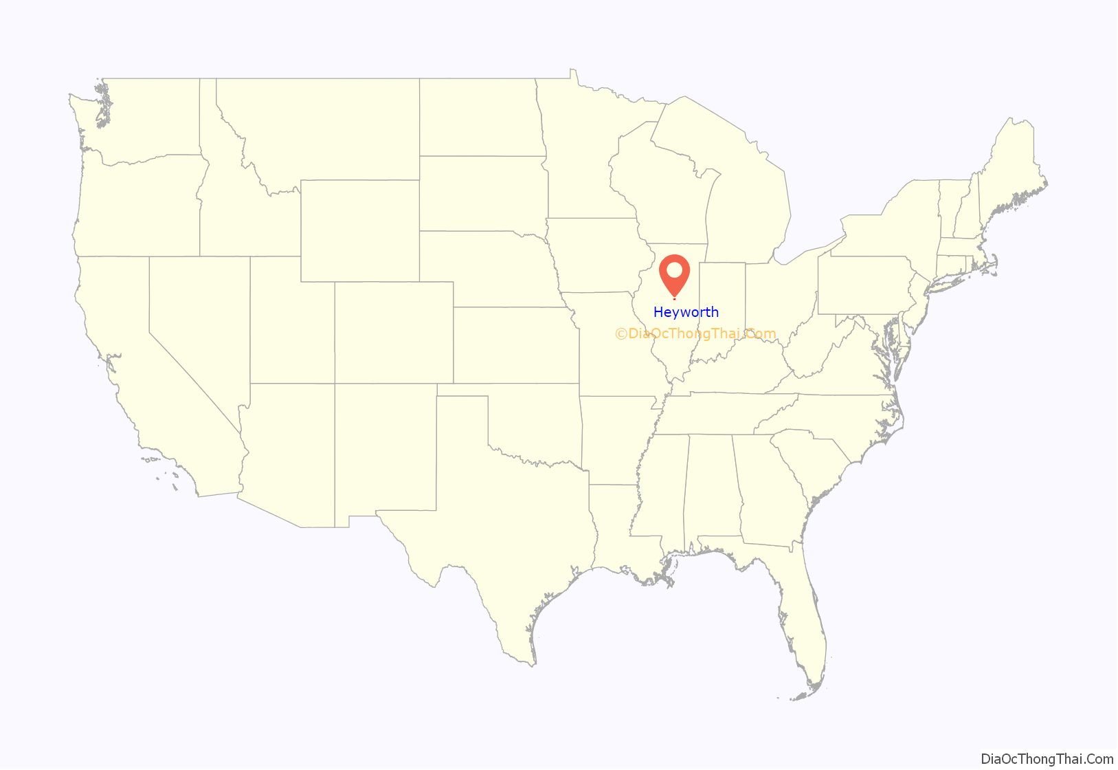
Heyworth location map. Where is Heyworth village?
History
Heyworth was laid out by Campbell Wakefield on September 11, 1859. Before settlement, the locality now known as Heyworth was covered by a heavy growth of timber and underbrush which was inhabited by the Kickapoo Native Americans, and supported a great number of deer, wild turkeys, and packs of large gray wolves.
As settlers began to move West, families such as the Rutledges, Funks, Passwaters, Bishops, Nobles, Wakefields, and Martens settled in the immediate vicinity of the present village of Heyworth as early as 1824. Campbell Wakefield was the primary founder of Heyworth. In the course of his achievements, Wakefield became the owner of a vast tract of land including what is now Heyworth. He continually added to his original tract until he obtained about 1,500 acres (6.1 km) in one plot.
As the population of the region increased and industries began to spring up, railroads were becoming a great advantage. In 1852 and 1853, the Illinois Central Railroad was constructed through the Wakefield land. When the line became operational in 1855, the residents hoped to put a train station in the vicinity. Many property owners vied for the station, but Wakefield immediately donated a large tract of land for the station. Additionally he set aside adjacent land for the foundation of a town, a Presbyterian church, and a district school.
The first post office was built in the municipality in 1856, when the new station was opened. The station was named “Elmwood”, but it was soon discovered that this name was already taken by a locality in Peoria County. The president of the Illinois Central Railroad proposed calling the new station “Heyworth”, after Lawrence Heyworth, an English director of the railroad.
After the establishment of the station, Campbell Wakefield made several donations to encourage trade and induce businessmen to locate in the new town. He became the proprietor of the new town, and the village of Heyworth was incorporated on March 31, 1869.
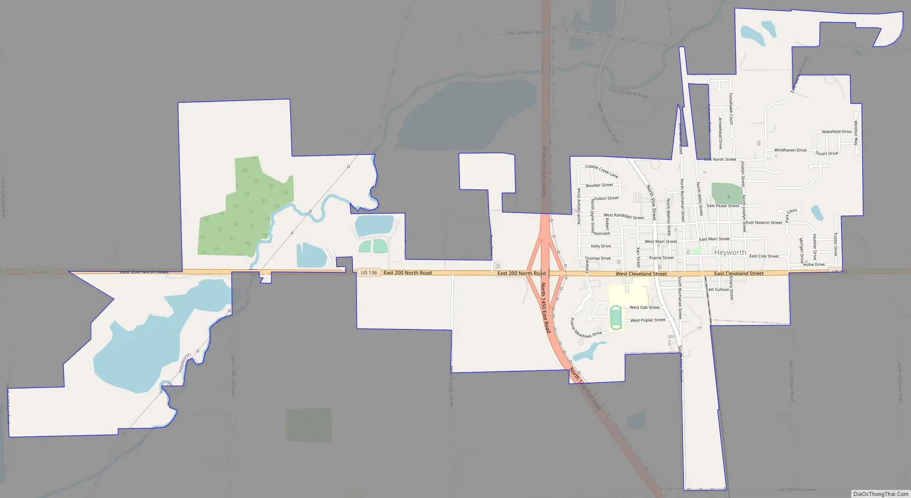
Heyworth Road Map
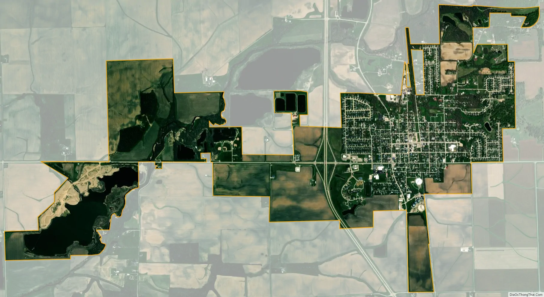
Heyworth city Satellite Map
Geography
Heyworth is in southern McLean County and is served by two U.S. highways. U.S. Route 51 passes through the west side of Heyworth as a four-lane divided highway, leading north 12 miles (19 km) to Bloomington, the county seat, and south the same distance to Clinton. U.S. Route 136 passes through the village center, leading east 43 miles (69 km) to Rantoul and west 10 miles (16 km) to McLean.
According to the U.S. Census Bureau, Heyworth has a total area of 3.39 square miles (8.78 km), of which 3.33 square miles (8.6 km) are land and 0.06 square miles (0.16 km), or 1.86%, are water. Kickapoo Creek passes through the western part of the village, flowing southwest to Salt Creek and then the Sangamon River, a tributary of the Illinois River.
See also
Map of Illinois State and its subdivision:- Adams
- Alexander
- Bond
- Boone
- Brown
- Bureau
- Calhoun
- Carroll
- Cass
- Champaign
- Christian
- Clark
- Clay
- Clinton
- Coles
- Cook
- Crawford
- Cumberland
- De Kalb
- De Witt
- Douglas
- Dupage
- Edgar
- Edwards
- Effingham
- Fayette
- Ford
- Franklin
- Fulton
- Gallatin
- Greene
- Grundy
- Hamilton
- Hancock
- Hardin
- Henderson
- Henry
- Iroquois
- Jackson
- Jasper
- Jefferson
- Jersey
- Jo Daviess
- Johnson
- Kane
- Kankakee
- Kendall
- Knox
- La Salle
- Lake
- Lake Michigan
- Lawrence
- Lee
- Livingston
- Logan
- Macon
- Macoupin
- Madison
- Marion
- Marshall
- Mason
- Massac
- McDonough
- McHenry
- McLean
- Menard
- Mercer
- Monroe
- Montgomery
- Morgan
- Moultrie
- Ogle
- Peoria
- Perry
- Piatt
- Pike
- Pope
- Pulaski
- Putnam
- Randolph
- Richland
- Rock Island
- Saint Clair
- Saline
- Sangamon
- Schuyler
- Scott
- Shelby
- Stark
- Stephenson
- Tazewell
- Union
- Vermilion
- Wabash
- Warren
- Washington
- Wayne
- White
- Whiteside
- Will
- Williamson
- Winnebago
- Woodford
- Alabama
- Alaska
- Arizona
- Arkansas
- California
- Colorado
- Connecticut
- Delaware
- District of Columbia
- Florida
- Georgia
- Hawaii
- Idaho
- Illinois
- Indiana
- Iowa
- Kansas
- Kentucky
- Louisiana
- Maine
- Maryland
- Massachusetts
- Michigan
- Minnesota
- Mississippi
- Missouri
- Montana
- Nebraska
- Nevada
- New Hampshire
- New Jersey
- New Mexico
- New York
- North Carolina
- North Dakota
- Ohio
- Oklahoma
- Oregon
- Pennsylvania
- Rhode Island
- South Carolina
- South Dakota
- Tennessee
- Texas
- Utah
- Vermont
- Virginia
- Washington
- West Virginia
- Wisconsin
- Wyoming