Homer Glen is a village, located 32 miles (51 km) southwest of downtown Chicago, in Homer Township, Will County, Illinois, United States. Per the 2020 census, the population was 24,543. The village was incorporated on April 17, 2001. The area that is now Homer Glen was formerly known as “Goodings Grove”.
| Name: | Homer Glen village |
|---|---|
| LSAD Code: | 47 |
| LSAD Description: | village (suffix) |
| State: | Illinois |
| County: | Will County |
| Incorporated: | April 17, 2001 |
| Total Area: | 22.16 sq mi (57.41 km²) |
| Land Area: | 22.13 sq mi (57.30 km²) |
| Water Area: | 0.04 sq mi (0.10 km²) |
| Total Population: | 24,543 |
| Population Density: | 1,109.29/sq mi (428.29/km²) |
| ZIP code: | 60491 |
| Area code: | 708/464, 815/779 |
| FIPS code: | 1735835 |
| Website: | homerglenil.org |
Online Interactive Map
Click on ![]() to view map in "full screen" mode.
to view map in "full screen" mode.
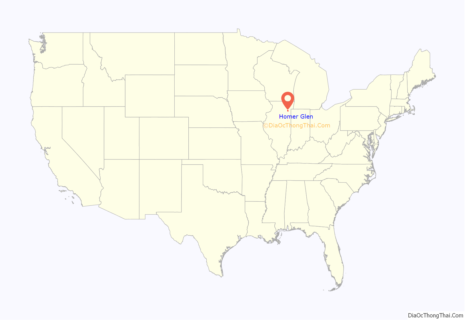
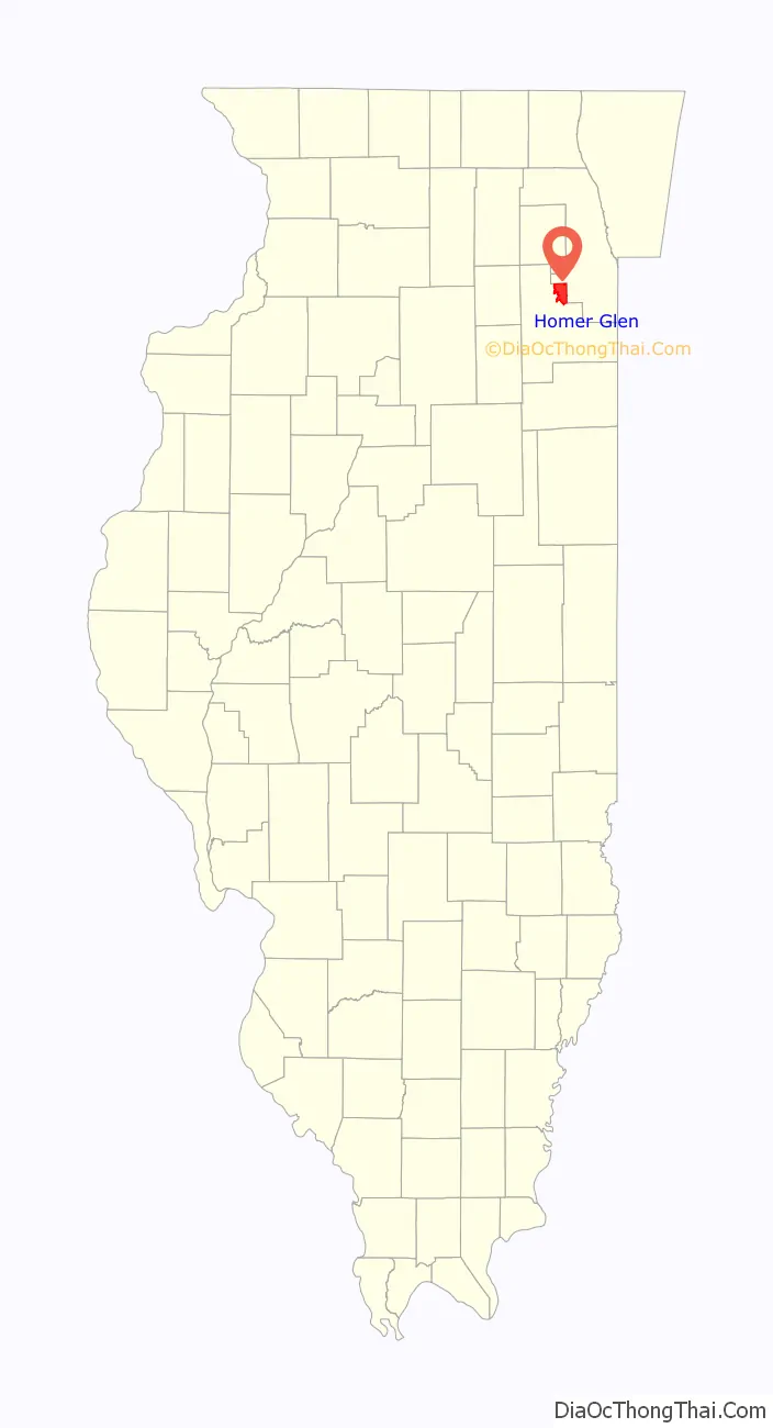
Homer Glen location map. Where is Homer Glen village?
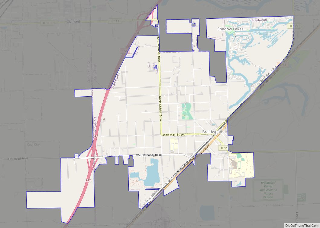
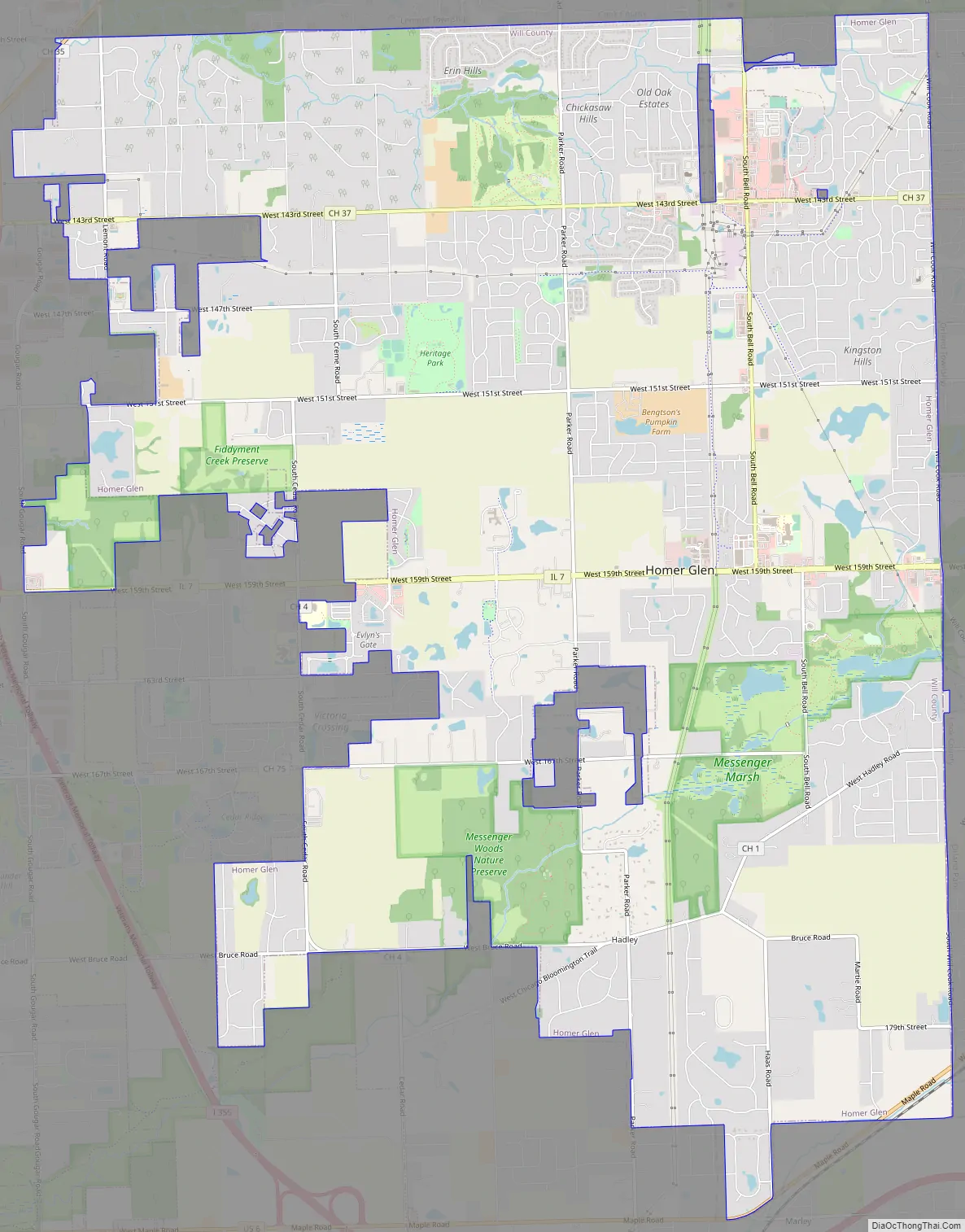
Homer Glen Road Map
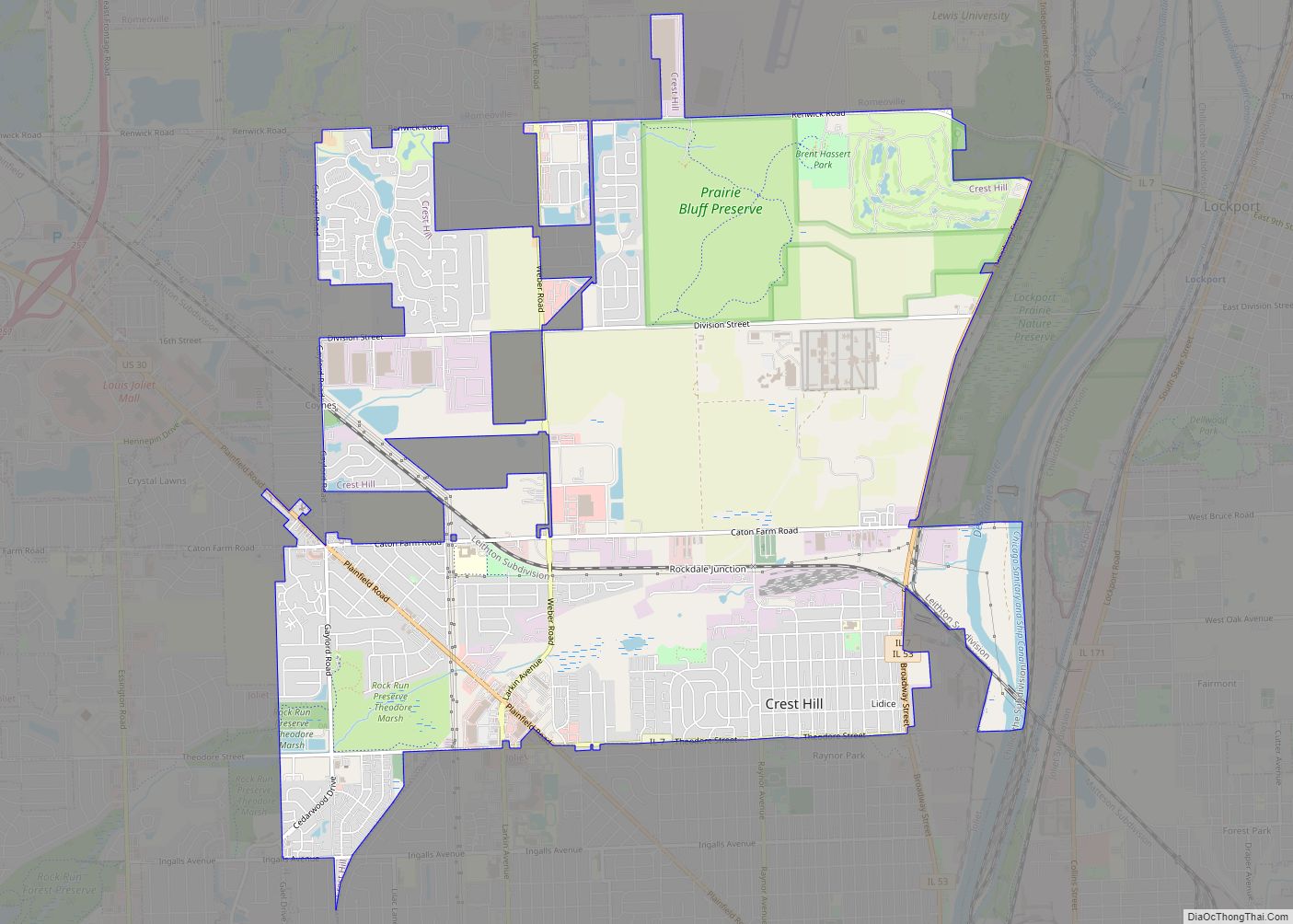
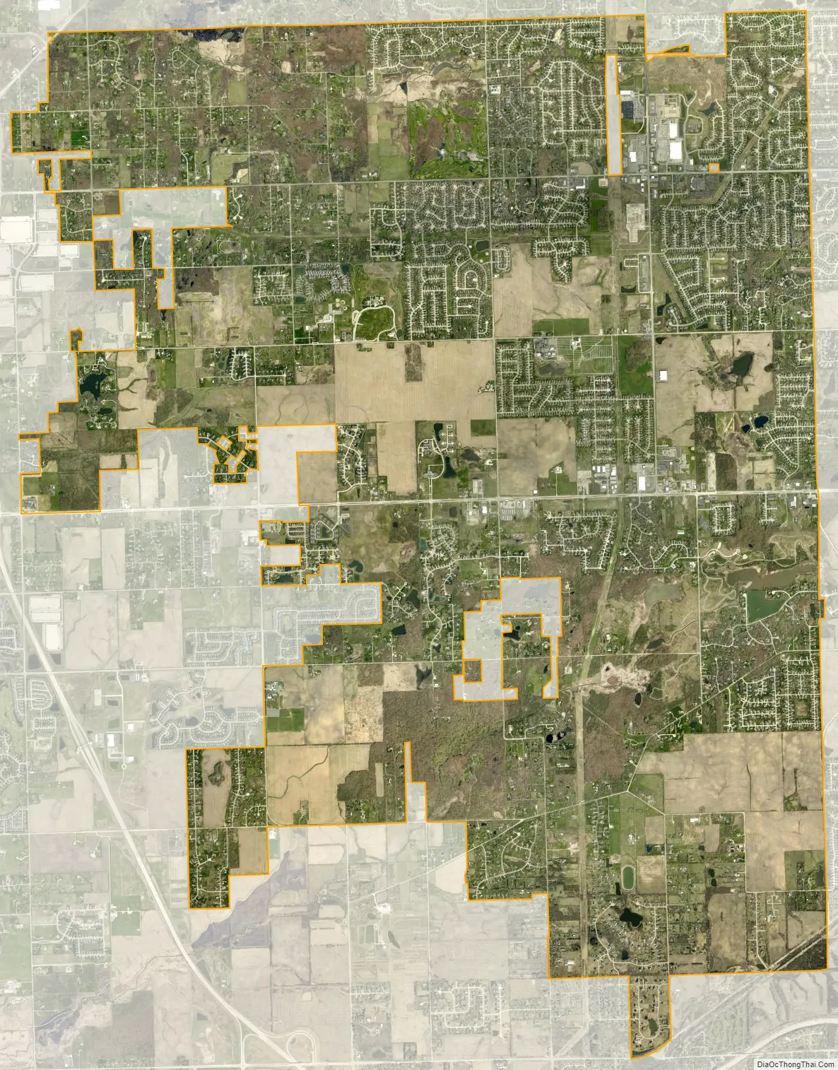
Homer Glen city Satellite Map
Geography
Homer Glen is located at 41°37′22″N 87°56′29″W (41.6228,-87.9416).
The boundaries of the village of Homer Glen are one half-mile block south of 131st Street to the north (along the Cook County border); 183rd Street to the south; Will-Cook Road to the east; and Gougar Road to the west. The village shares its boundaries with the village of Lemont (in Lemont Township, Cook County) to the north, the village of Orland Park (in Orland Township, Cook County) to the east, the village of New Lenox (in New Lenox Township, Will County) to the south and the city of Lockport (in Lockport Township, Will County) to the west. The three major roads in Homer Glen are Bell Road, which runs North-South, 143rd Street, and 159th Street, which both run East-West.
See also
Map of Illinois State and its subdivision:- Adams
- Alexander
- Bond
- Boone
- Brown
- Bureau
- Calhoun
- Carroll
- Cass
- Champaign
- Christian
- Clark
- Clay
- Clinton
- Coles
- Cook
- Crawford
- Cumberland
- De Kalb
- De Witt
- Douglas
- Dupage
- Edgar
- Edwards
- Effingham
- Fayette
- Ford
- Franklin
- Fulton
- Gallatin
- Greene
- Grundy
- Hamilton
- Hancock
- Hardin
- Henderson
- Henry
- Iroquois
- Jackson
- Jasper
- Jefferson
- Jersey
- Jo Daviess
- Johnson
- Kane
- Kankakee
- Kendall
- Knox
- La Salle
- Lake
- Lake Michigan
- Lawrence
- Lee
- Livingston
- Logan
- Macon
- Macoupin
- Madison
- Marion
- Marshall
- Mason
- Massac
- McDonough
- McHenry
- McLean
- Menard
- Mercer
- Monroe
- Montgomery
- Morgan
- Moultrie
- Ogle
- Peoria
- Perry
- Piatt
- Pike
- Pope
- Pulaski
- Putnam
- Randolph
- Richland
- Rock Island
- Saint Clair
- Saline
- Sangamon
- Schuyler
- Scott
- Shelby
- Stark
- Stephenson
- Tazewell
- Union
- Vermilion
- Wabash
- Warren
- Washington
- Wayne
- White
- Whiteside
- Will
- Williamson
- Winnebago
- Woodford
- Alabama
- Alaska
- Arizona
- Arkansas
- California
- Colorado
- Connecticut
- Delaware
- District of Columbia
- Florida
- Georgia
- Hawaii
- Idaho
- Illinois
- Indiana
- Iowa
- Kansas
- Kentucky
- Louisiana
- Maine
- Maryland
- Massachusetts
- Michigan
- Minnesota
- Mississippi
- Missouri
- Montana
- Nebraska
- Nevada
- New Hampshire
- New Jersey
- New Mexico
- New York
- North Carolina
- North Dakota
- Ohio
- Oklahoma
- Oregon
- Pennsylvania
- Rhode Island
- South Carolina
- South Dakota
- Tennessee
- Texas
- Utah
- Vermont
- Virginia
- Washington
- West Virginia
- Wisconsin
- Wyoming