Hume is a village in Shiloh and Young America townships, Edgar County, Illinois, United States. As of the 2020 census, the village population was 325.
| Name: | Hume village |
|---|---|
| LSAD Code: | 47 |
| LSAD Description: | village (suffix) |
| State: | Illinois |
| County: | Edgar County |
| Incorporated: | 1873 |
| Elevation: | 653 ft (199 m) |
| Total Area: | 0.57 sq mi (1.47 km²) |
| Land Area: | 0.57 sq mi (1.47 km²) |
| Water Area: | 0.00 sq mi (0.00 km²) |
| Total Population: | 325 |
| Population Density: | 574.20/sq mi (221.81/km²) |
| ZIP code: | 61932 |
| Area code: | 217 |
| FIPS code: | 1736568 |
| GNISfeature ID: | 2398560 |
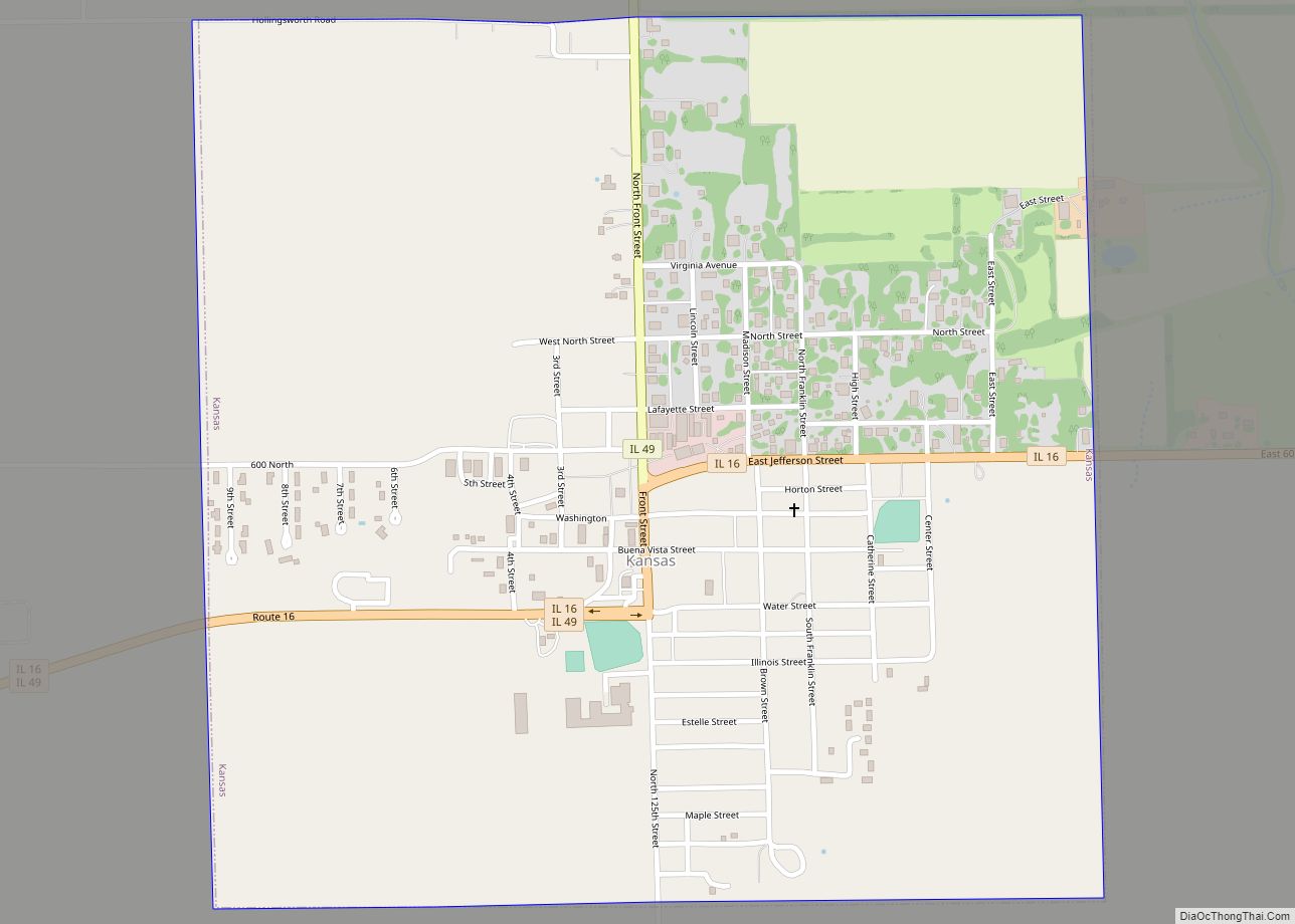
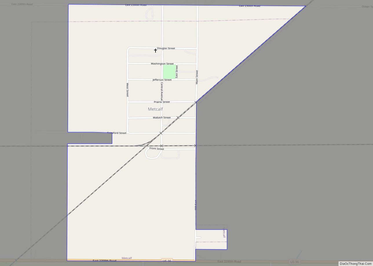
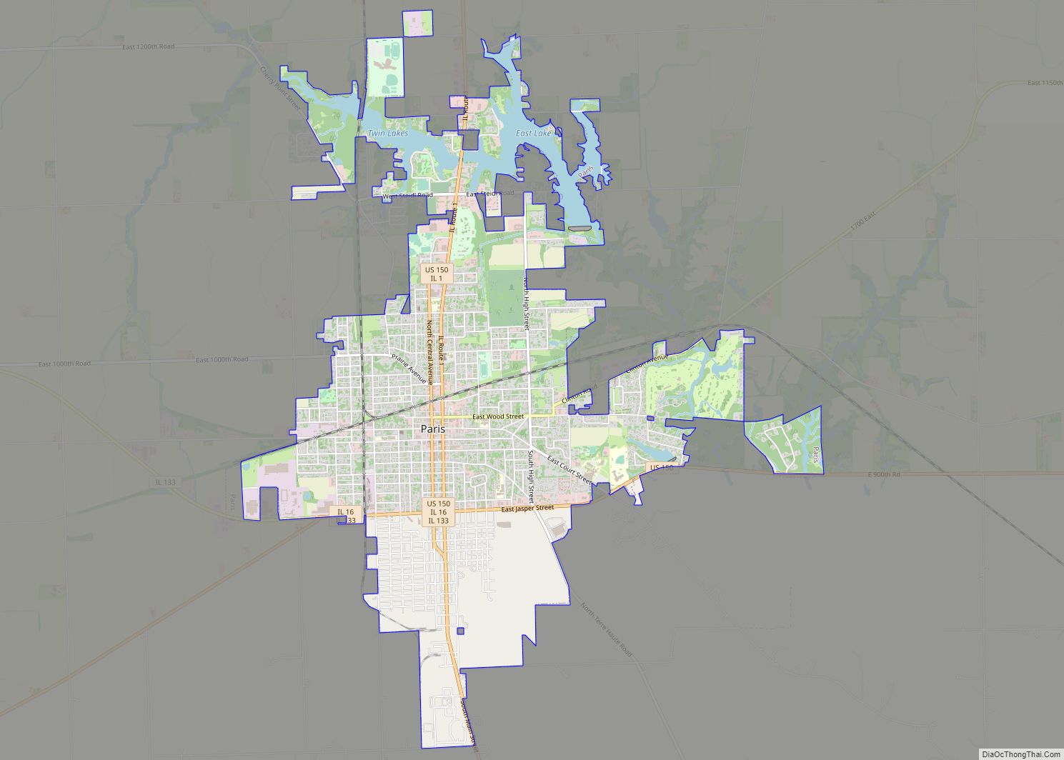
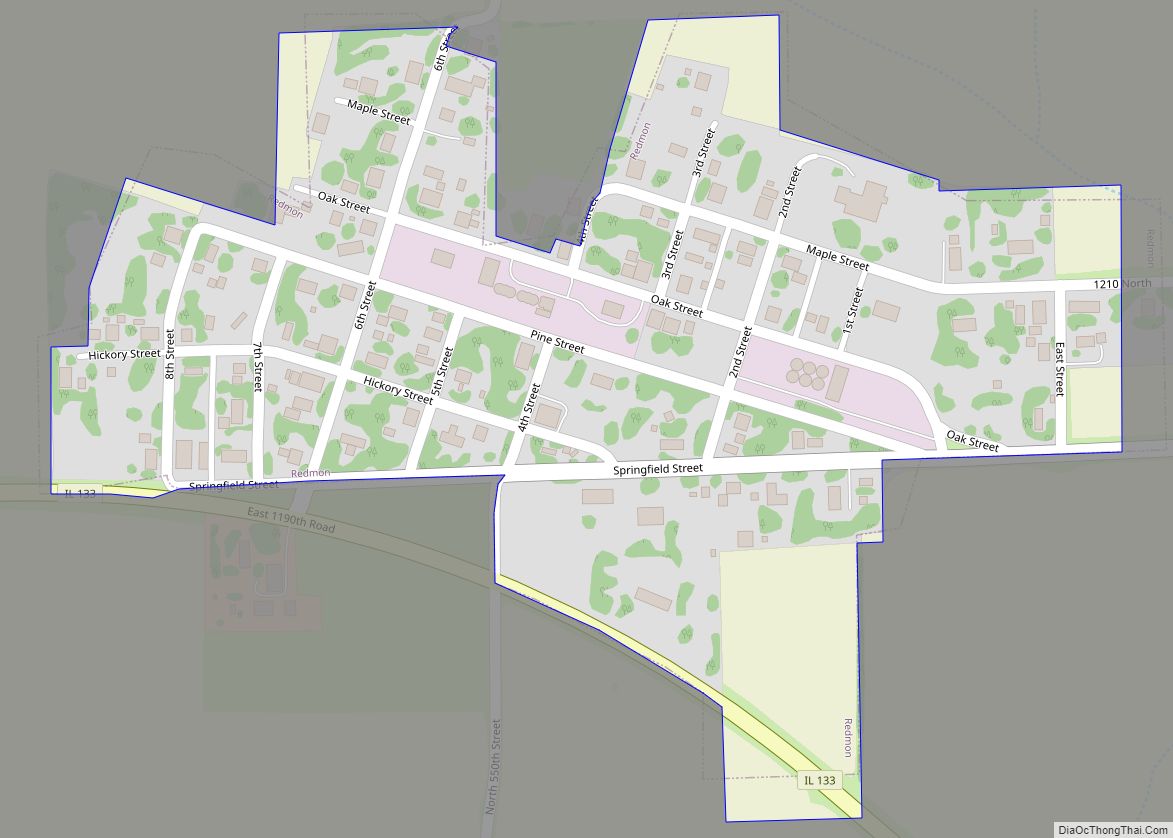
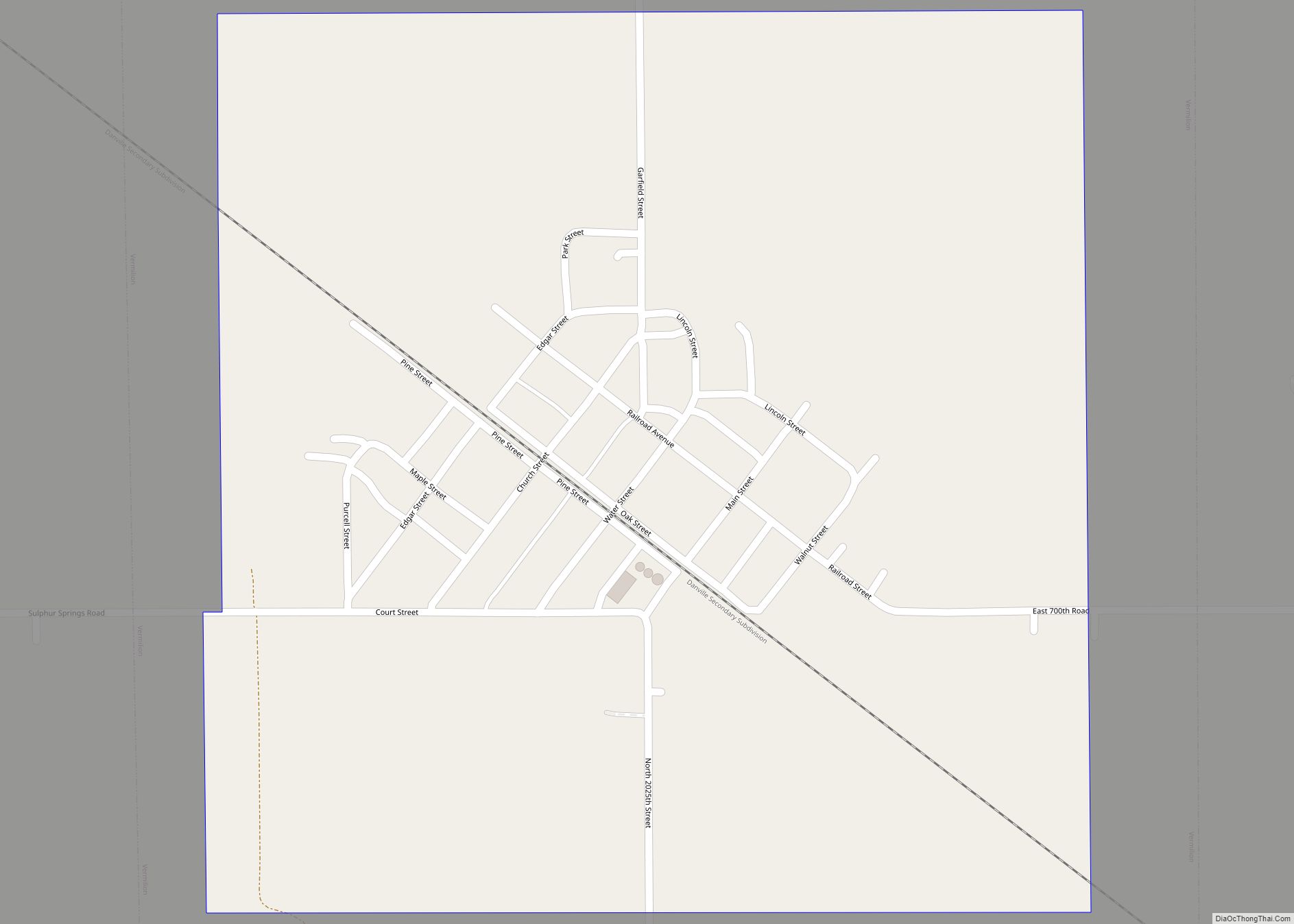
Online Interactive Map
Click on ![]() to view map in "full screen" mode.
to view map in "full screen" mode.
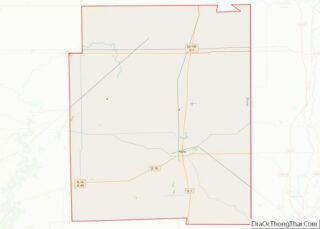
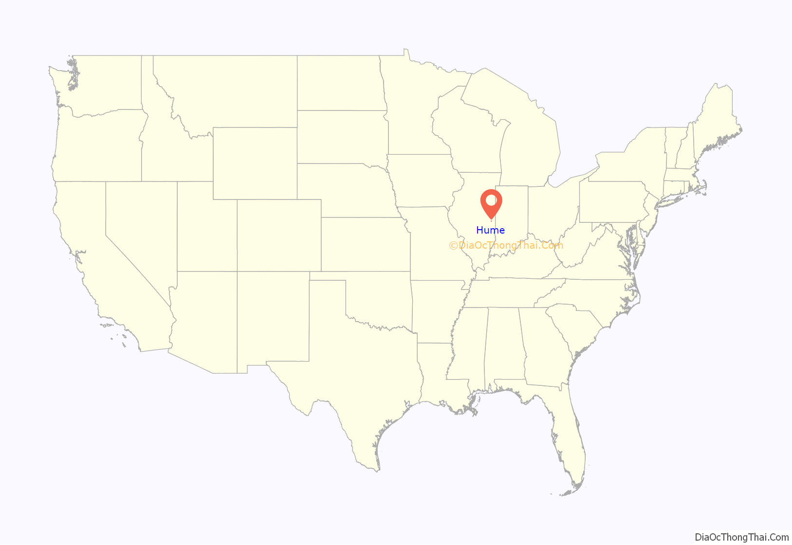
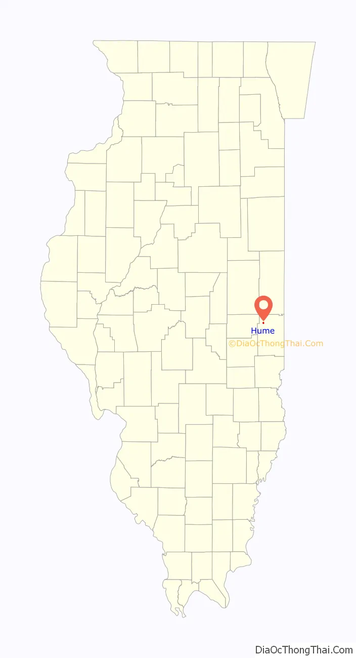
Hume location map. Where is Hume village?
History
The future site of Hume was most likely part of the Illinois Confederation in the Pre-Columbian period. White settlers of the 19th century in the area reported relationships with Kickapoo peoples.
In the early 19th century, the area of Illinois including the future site of the Village of Hume and the Young America Township was prairie and thus considered unsuitable for settlement or tillage. Land speculators bought local land from the government (known as “entering land”) on the hope that it would become possible to cultivate it in the near future. Large herds of cattle often grazed on the open land during this period.
In 1857, the Indiana and Illinois Airline railroad was laid out and graded, although it would be fifteen years before rails were laid. In February 1865, Elzephan W. S. Hume moved to Illinois from Boone County, Kentucky, and purchased about 300 acres (1.2 km) of land along the proposed line of the Indiana and Illinois Airline railroad. By November, he opened a farm and began cultivation. In the spring of 1873, the railroad was complete through Edgar county. In later years, the railroad was expanded to Indianapolis and was called the Indianapolis, Decatur and Springfield Railway. The railroad would change names several times before being incorporated into the Baltimore and Ohio Railroad.
In 1873, E. W. S. Hume made plans for a town on his land, although no buildings existed on the planned town at that time. He also made an agreement with the railroad company to build a station for Hume, in exchange for lots of land in the new village. The names Elzephan W. S. Hume, Henry C. Moore, Thomas H. McCoughty, and H. B. Hammond appear on the original plat for the incorporation of Hume. George W. Foreman laid out the village of Hume in early November 1873 for those four men.
O. H. Rogers built the first house and the first store on the town’s plat. E. W. S. Hume was the first President of the Village and the first Postmaster. The following persons built homes or businesses in Hume during the 1870s:
- Eben Hathaway, blacksmith
- Michael Ewel, house
- W. C. Smith, house
- Dr. S. H. Bradley, physician
- Geo. W. Hughes
- Dr. D. D. Roberts
- Dr. Port Skeen, veterinary doctor
- Simeon Stark, store
- O. H. Linnabary, hotel
- Samuel Lyons, grocery
A census taken in 1879 gave a population of 270 residents, thirty short of the number required by Illinois state law to incorporate as a town. The improved drainage of prairie for farms encouraged the growth of Hume in the late 19th century. By 1890, a local newspaper named The Weekly Record was published by D. V. Bradley, son of Dr. S. H. Bradley.
In 1881, a railroad named the Danville, Olney and Ohio River Railroad passed through Hume, going north and south. It was known locally as the Chicago & Ohio River line.
In 1896, the Young America Cemetery was founded by the sale of stock in the cemetery’s association.
In 1913, the Hume Manufacturing Company was founded to produce tractors of a new design. A factory was built opposite the railroad tracks from Front Street. Thirty-five tractors were built from 1913 to 1917. The Atlas Lyons Company of Indianapolis purchased the company’s stock and its assets.
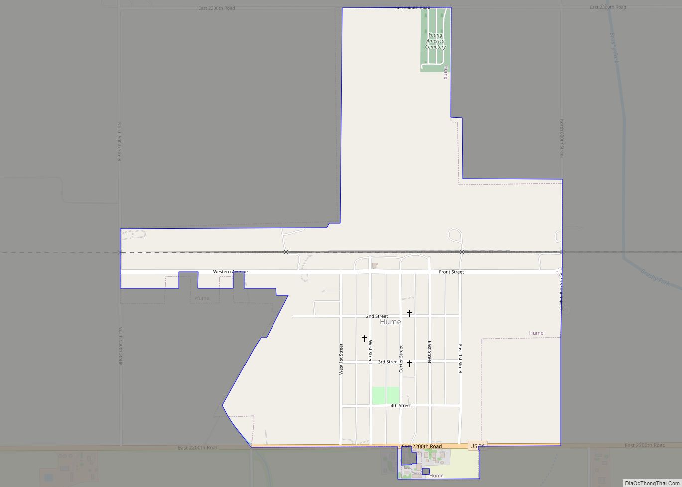
Hume Road Map
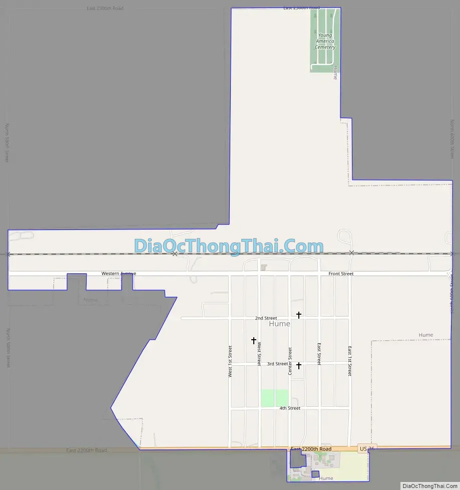
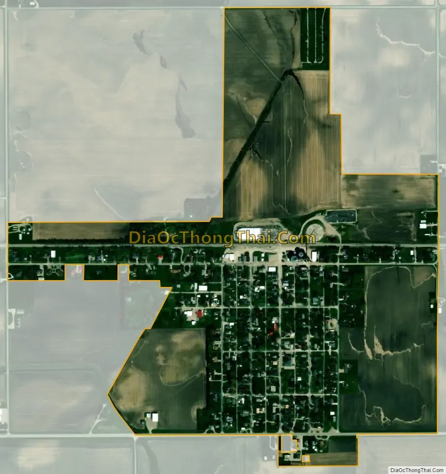
Hume city Satellite Map
Geography
According to the 2021 census gazetteer files, Hume has a total area of 0.57 square miles (1.48 km), all land.
The great majority of the Village is part of Young America Township. A southern part of Hume is in Shiloh Township.
See also
Map of Illinois State and its subdivision:- Adams
- Alexander
- Bond
- Boone
- Brown
- Bureau
- Calhoun
- Carroll
- Cass
- Champaign
- Christian
- Clark
- Clay
- Clinton
- Coles
- Cook
- Crawford
- Cumberland
- De Kalb
- De Witt
- Douglas
- Dupage
- Edgar
- Edwards
- Effingham
- Fayette
- Ford
- Franklin
- Fulton
- Gallatin
- Greene
- Grundy
- Hamilton
- Hancock
- Hardin
- Henderson
- Henry
- Iroquois
- Jackson
- Jasper
- Jefferson
- Jersey
- Jo Daviess
- Johnson
- Kane
- Kankakee
- Kendall
- Knox
- La Salle
- Lake
- Lake Michigan
- Lawrence
- Lee
- Livingston
- Logan
- Macon
- Macoupin
- Madison
- Marion
- Marshall
- Mason
- Massac
- McDonough
- McHenry
- McLean
- Menard
- Mercer
- Monroe
- Montgomery
- Morgan
- Moultrie
- Ogle
- Peoria
- Perry
- Piatt
- Pike
- Pope
- Pulaski
- Putnam
- Randolph
- Richland
- Rock Island
- Saint Clair
- Saline
- Sangamon
- Schuyler
- Scott
- Shelby
- Stark
- Stephenson
- Tazewell
- Union
- Vermilion
- Wabash
- Warren
- Washington
- Wayne
- White
- Whiteside
- Will
- Williamson
- Winnebago
- Woodford
- Alabama
- Alaska
- Arizona
- Arkansas
- California
- Colorado
- Connecticut
- Delaware
- District of Columbia
- Florida
- Georgia
- Hawaii
- Idaho
- Illinois
- Indiana
- Iowa
- Kansas
- Kentucky
- Louisiana
- Maine
- Maryland
- Massachusetts
- Michigan
- Minnesota
- Mississippi
- Missouri
- Montana
- Nebraska
- Nevada
- New Hampshire
- New Jersey
- New Mexico
- New York
- North Carolina
- North Dakota
- Ohio
- Oklahoma
- Oregon
- Pennsylvania
- Rhode Island
- South Carolina
- South Dakota
- Tennessee
- Texas
- Utah
- Vermont
- Virginia
- Washington
- West Virginia
- Wisconsin
- Wyoming