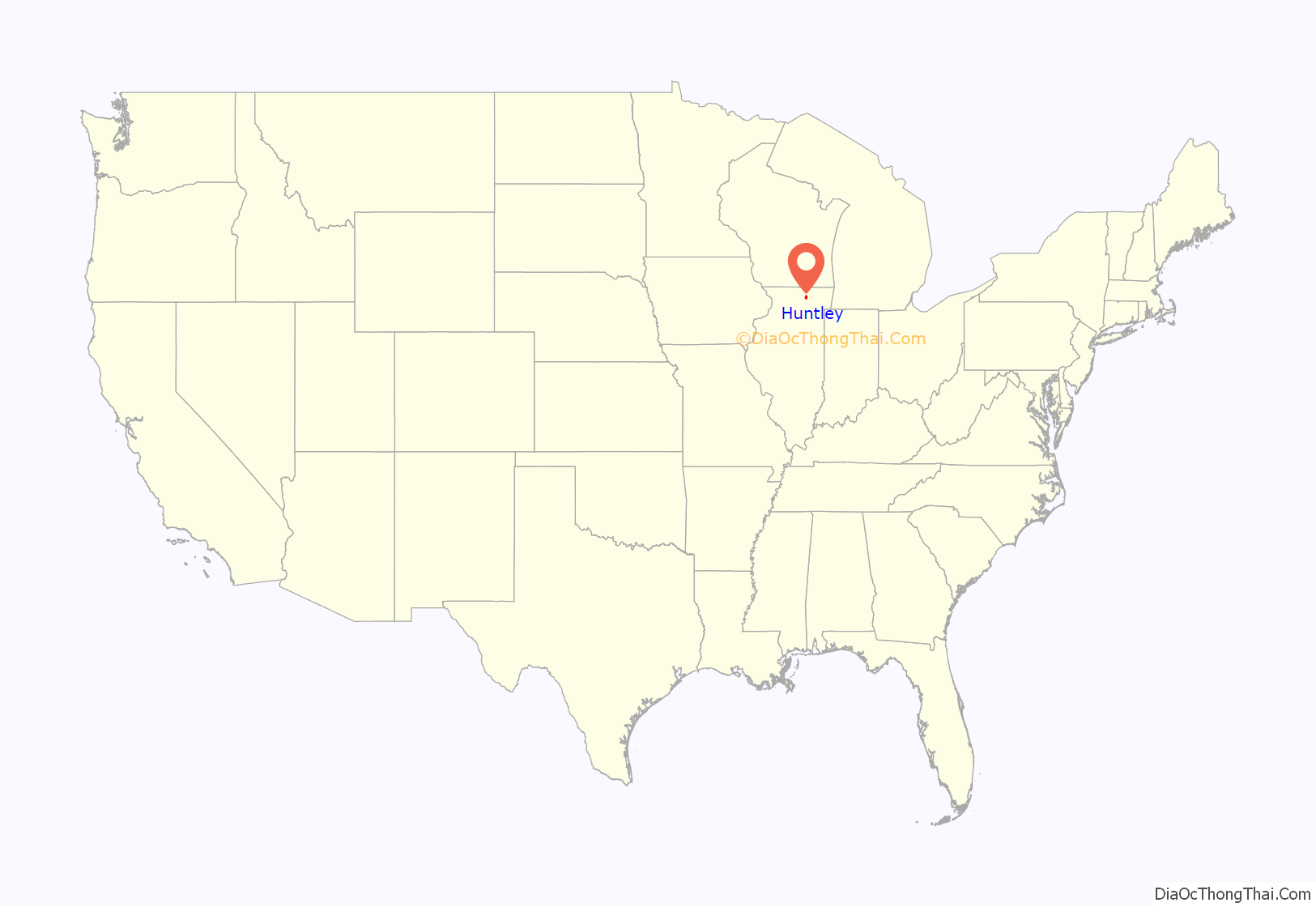
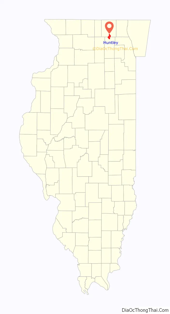
Huntley is a village in McHenry and Kane counties, Illinois, United States. As of the 2020 census it had a population of 27,740. It is a part of the Chicago metropolitan area.
| Name: | Huntley village |
|---|---|
| LSAD Code: | 47 |
| LSAD Description: | village (suffix) |
| State: | Illinois |
| County: | Kane County, McHenry County |
| Founded: | 1851 (1851) |
| Incorporated: | 1872 (1872) |
| Elevation: | 889 ft (271 m) |
| Total Area: | 14.35 sq mi (37.17 km²) |
| Land Area: | 14.29 sq mi (37.01 km²) |
| Water Area: | 0.06 sq mi (0.16 km²) |
| Total Population: | 27,740 |
| Population Density: | 1,941.35/sq mi (749.55/km²) |
| Area code: | 847, 224 |
| FIPS code: | 1736750 |
| Website: | www.huntley.il.us |
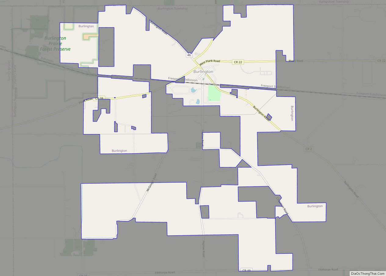
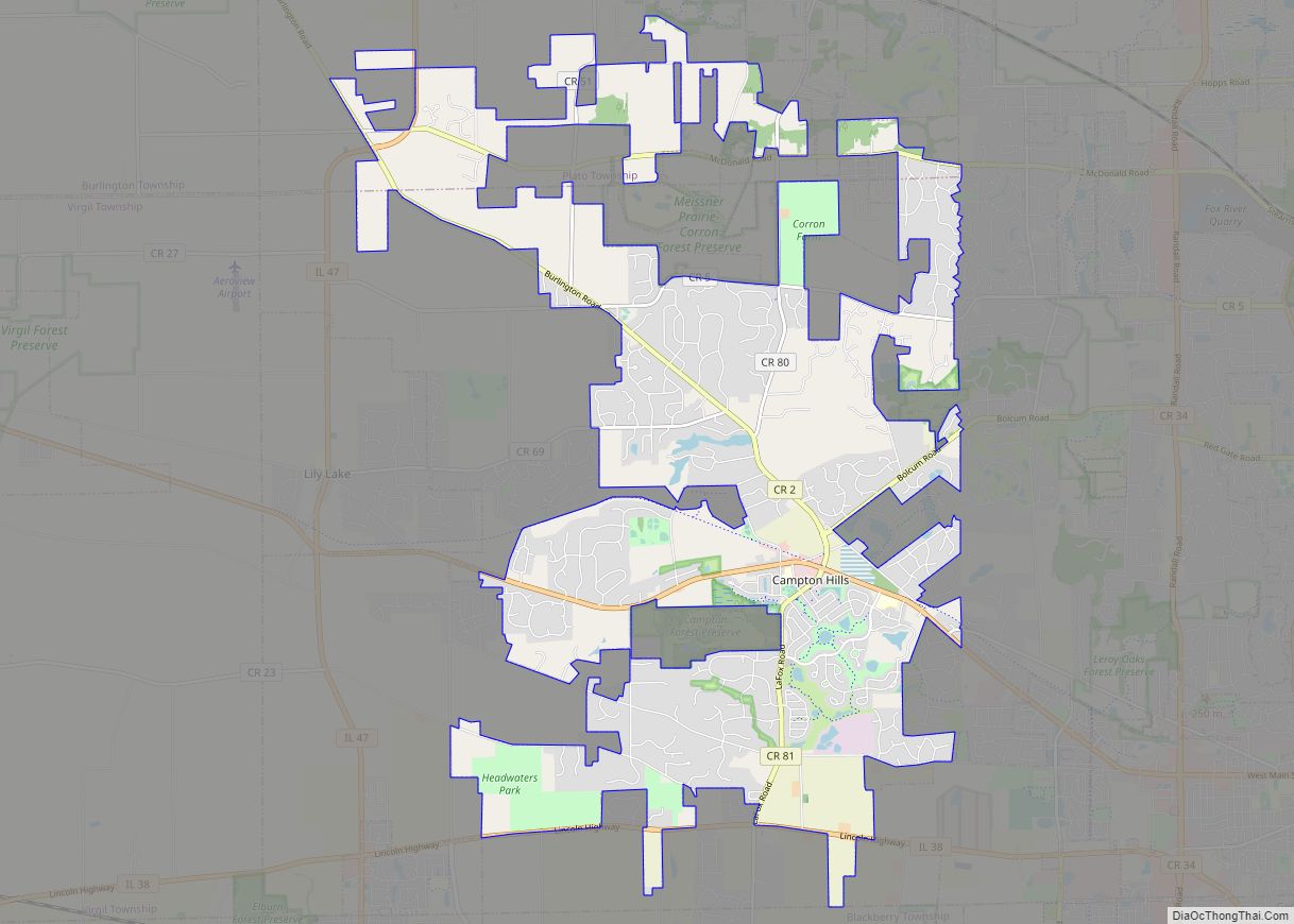
Online Interactive Map
Click on ![]() to view map in "full screen" mode.
to view map in "full screen" mode.
Huntley location map. Where is Huntley village?
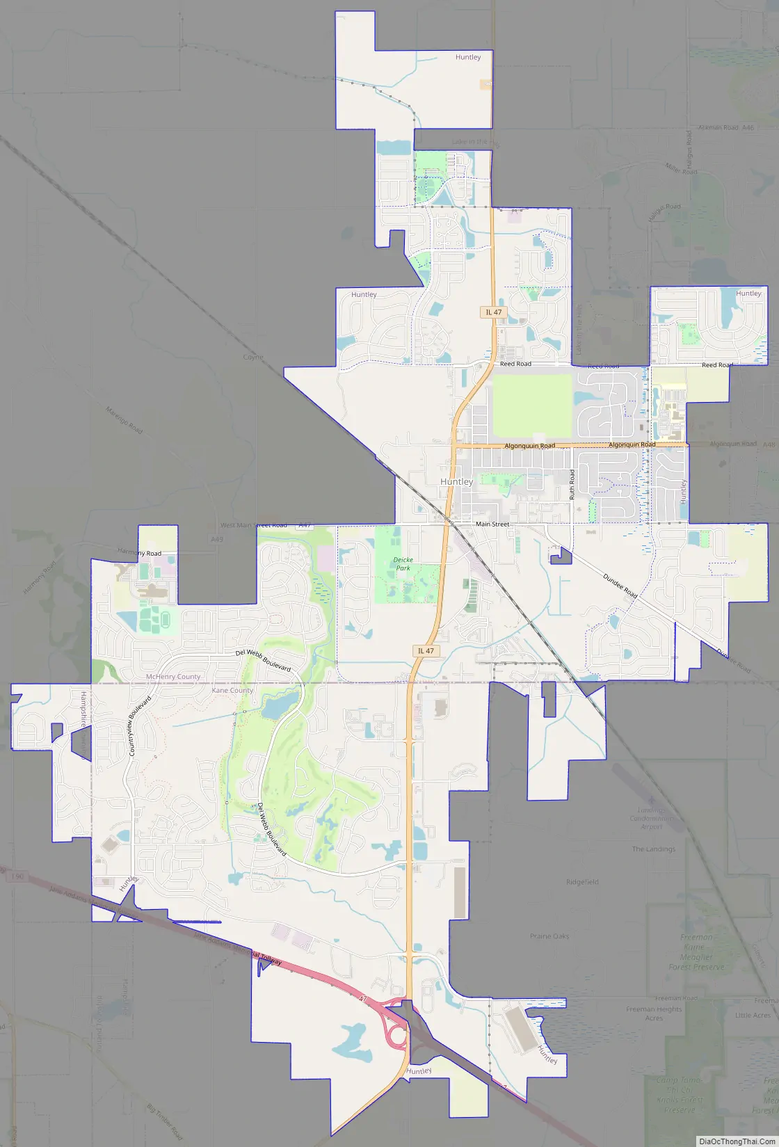
Huntley Road Map
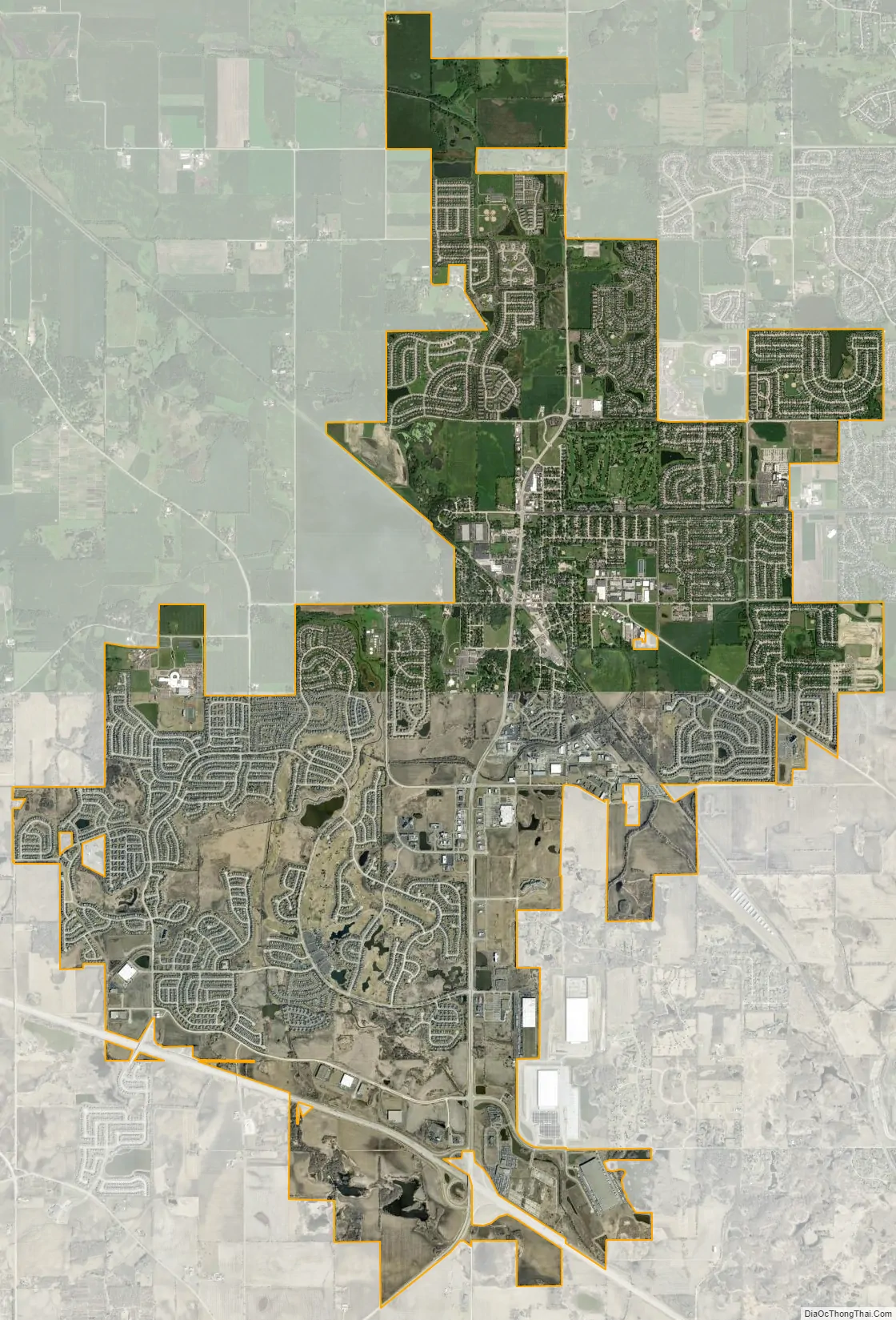
Huntley city Satellite Map
Geography
Huntley is in the southern part of McHenry County and the northern part of Kane County, 48 miles (77 km) northwest of the Chicago Loop. Neighboring communities are Lake in the Hills to the northeast, Algonquin to the east, Gilberts to the southeast, Pingree Grove to the south, and Hampshire to the southwest. Unincorporated Union is to the northwest.
According to the 2010 census, Huntley has a total area of 14.102 square miles (36.52 km), of which 14.07 square miles (36.44 km) (or 99.77%) are land and 0.032 square miles (0.08 km) (or 0.23%) are water.
See also
Map of Illinois State and its subdivision:- Adams
- Alexander
- Bond
- Boone
- Brown
- Bureau
- Calhoun
- Carroll
- Cass
- Champaign
- Christian
- Clark
- Clay
- Clinton
- Coles
- Cook
- Crawford
- Cumberland
- De Kalb
- De Witt
- Douglas
- Dupage
- Edgar
- Edwards
- Effingham
- Fayette
- Ford
- Franklin
- Fulton
- Gallatin
- Greene
- Grundy
- Hamilton
- Hancock
- Hardin
- Henderson
- Henry
- Iroquois
- Jackson
- Jasper
- Jefferson
- Jersey
- Jo Daviess
- Johnson
- Kane
- Kankakee
- Kendall
- Knox
- La Salle
- Lake
- Lake Michigan
- Lawrence
- Lee
- Livingston
- Logan
- Macon
- Macoupin
- Madison
- Marion
- Marshall
- Mason
- Massac
- McDonough
- McHenry
- McLean
- Menard
- Mercer
- Monroe
- Montgomery
- Morgan
- Moultrie
- Ogle
- Peoria
- Perry
- Piatt
- Pike
- Pope
- Pulaski
- Putnam
- Randolph
- Richland
- Rock Island
- Saint Clair
- Saline
- Sangamon
- Schuyler
- Scott
- Shelby
- Stark
- Stephenson
- Tazewell
- Union
- Vermilion
- Wabash
- Warren
- Washington
- Wayne
- White
- Whiteside
- Will
- Williamson
- Winnebago
- Woodford
- Alabama
- Alaska
- Arizona
- Arkansas
- California
- Colorado
- Connecticut
- Delaware
- District of Columbia
- Florida
- Georgia
- Hawaii
- Idaho
- Illinois
- Indiana
- Iowa
- Kansas
- Kentucky
- Louisiana
- Maine
- Maryland
- Massachusetts
- Michigan
- Minnesota
- Mississippi
- Missouri
- Montana
- Nebraska
- Nevada
- New Hampshire
- New Jersey
- New Mexico
- New York
- North Carolina
- North Dakota
- Ohio
- Oklahoma
- Oregon
- Pennsylvania
- Rhode Island
- South Carolina
- South Dakota
- Tennessee
- Texas
- Utah
- Vermont
- Virginia
- Washington
- West Virginia
- Wisconsin
- Wyoming