Liberty is a village in Adams County, Illinois, United States. The population was 543 at the 2020 census. It is part of the Quincy, IL–MO Micropolitan Statistical Area.
| Name: | Liberty village |
|---|---|
| LSAD Code: | 47 |
| LSAD Description: | village (suffix) |
| State: | Illinois |
| County: | Adams County |
| Elevation: | 758 ft (231 m) |
| Total Area: | 0.39 sq mi (1.01 km²) |
| Land Area: | 0.39 sq mi (1.01 km²) |
| Water Area: | 0.00 sq mi (0.00 km²) 0% |
| Total Population: | 543 |
| Population Density: | 1,388.75/sq mi (536.09/km²) |
| Area code: | 217 |
| FIPS code: | 1743133 |
| GNISfeature ID: | 2398433 |
| Website: | www.libertyschool.net |
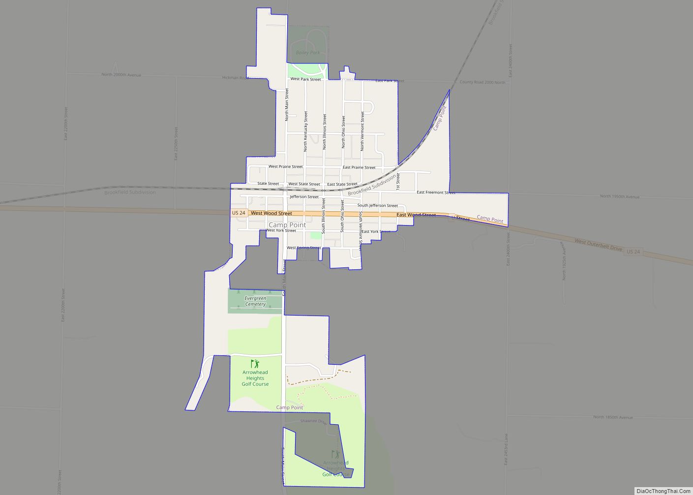
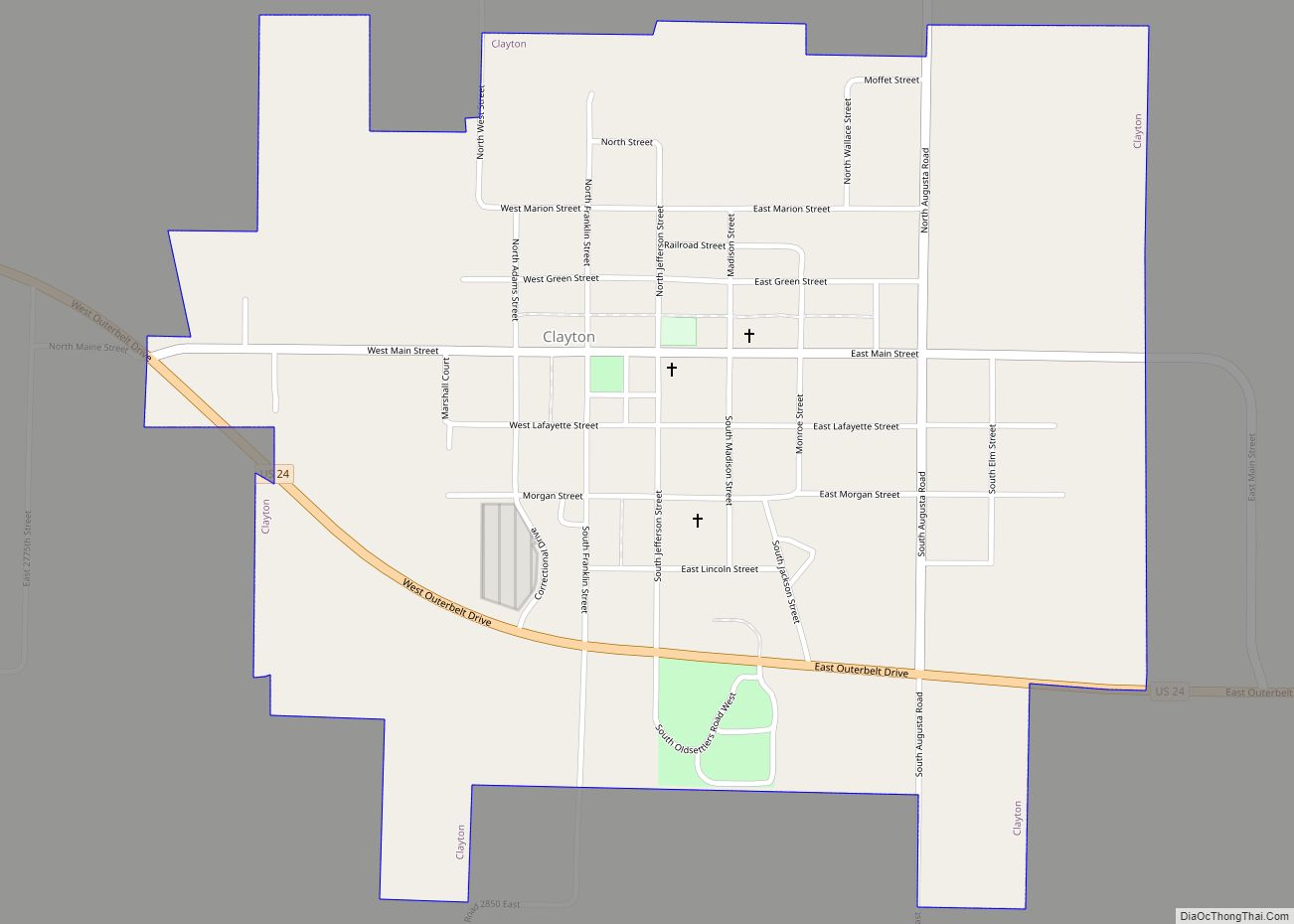
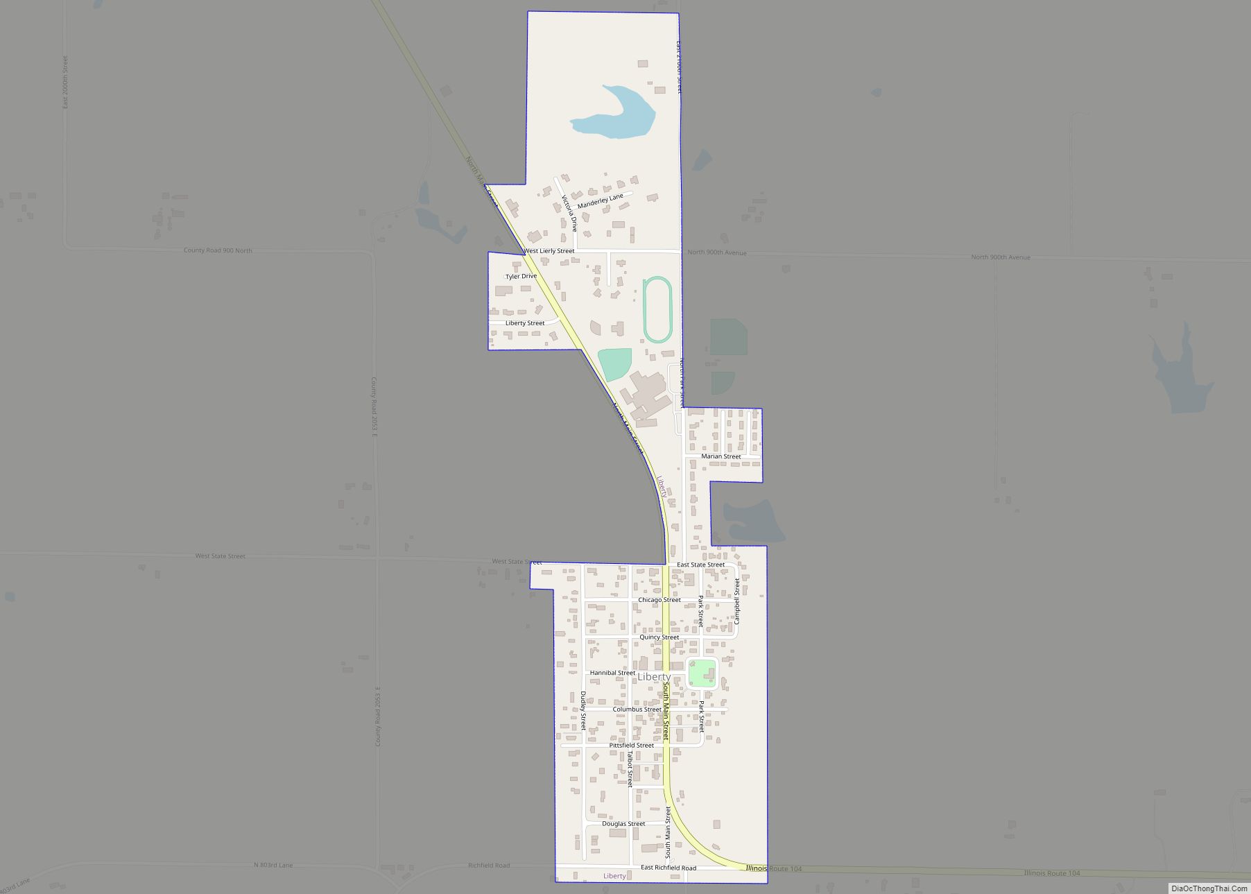
Online Interactive Map
Click on ![]() to view map in "full screen" mode.
to view map in "full screen" mode.
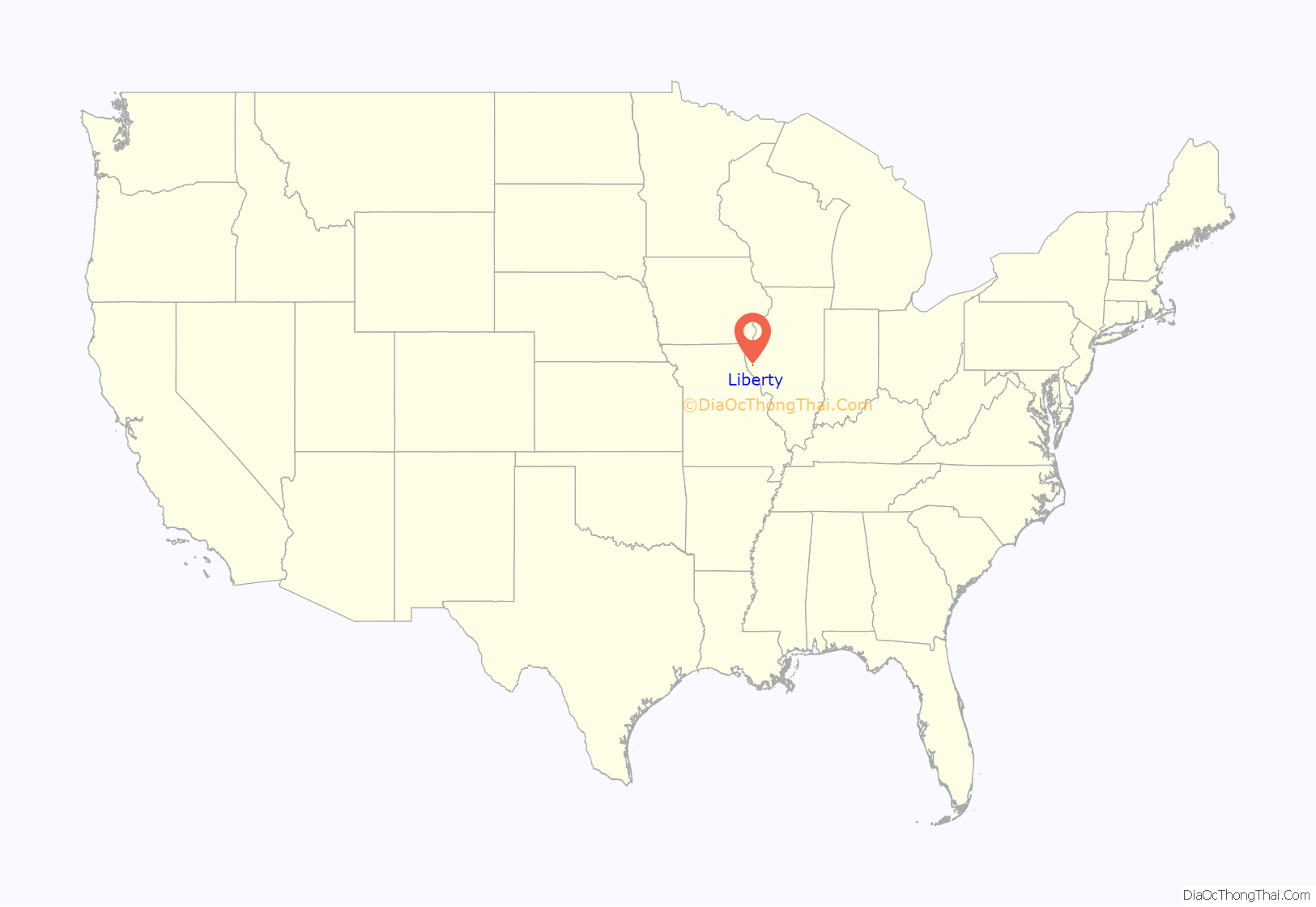
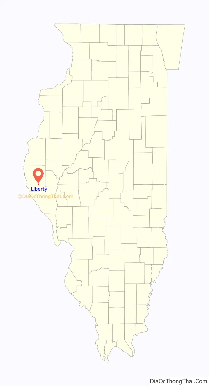
Liberty location map. Where is Liberty village?
History
Liberty Township began with the first settlement made on Section 28, by Daniel Lile, in the spring of 1822, and many old settlers followed about the same time. The first regular preacher was George Wolfe of the Dunkard denomination. First horse mill was built by Daniel Lile. The first marriage was that of Jacob Waggle to a Miss Hunsaker, by the Rev. George Wolfe, at the house of the bride’s father. The first birth and death, was an infant child of Mr. Kimbrick. The first Supervisor was David Wolfe.
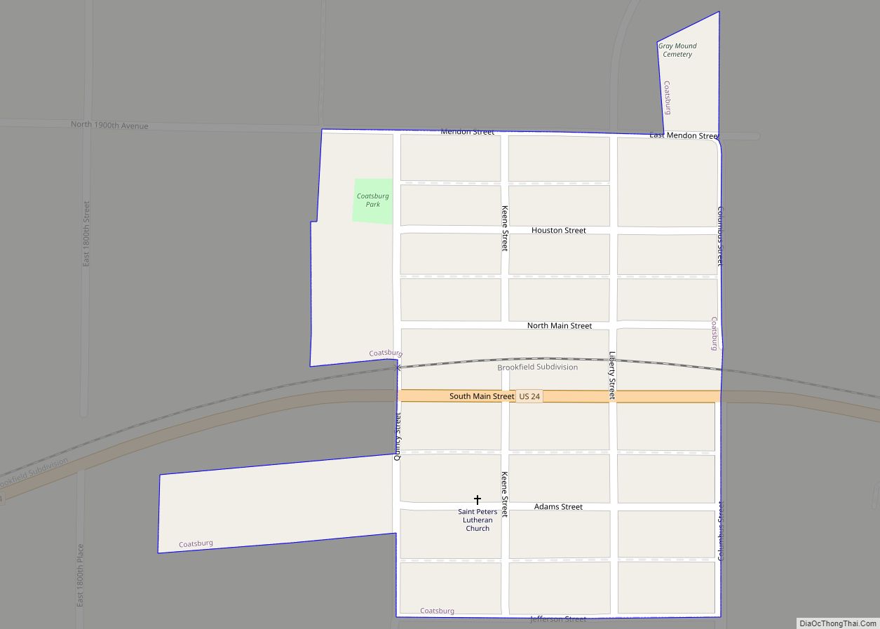
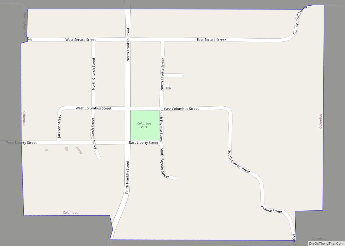
Liberty Road Map
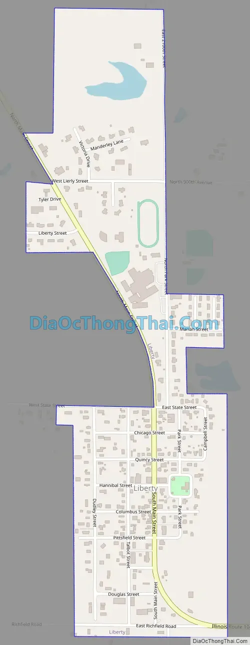
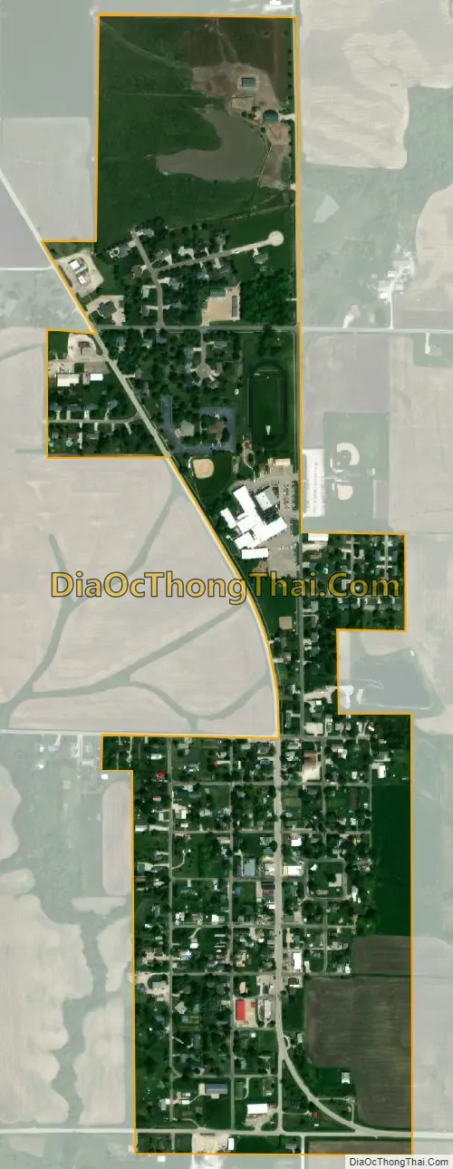
Liberty city Satellite Map
Geography
Liberty is located at 39°52′48″N 91°6′29″W / 39.88000°N 91.10806°W / 39.88000; -91.10806 (39.879948, -91.108137).
According to the 2021 census gazetteer files, Liberty has a total area of 0.39 square miles (1.01 km), all land.
Liberty is 78 miles (126 km) west of Springfield, Illinois, the state capital, and 97 miles (156 km) northwest of St. Louis.
See also
Map of Illinois State and its subdivision:- Adams
- Alexander
- Bond
- Boone
- Brown
- Bureau
- Calhoun
- Carroll
- Cass
- Champaign
- Christian
- Clark
- Clay
- Clinton
- Coles
- Cook
- Crawford
- Cumberland
- De Kalb
- De Witt
- Douglas
- Dupage
- Edgar
- Edwards
- Effingham
- Fayette
- Ford
- Franklin
- Fulton
- Gallatin
- Greene
- Grundy
- Hamilton
- Hancock
- Hardin
- Henderson
- Henry
- Iroquois
- Jackson
- Jasper
- Jefferson
- Jersey
- Jo Daviess
- Johnson
- Kane
- Kankakee
- Kendall
- Knox
- La Salle
- Lake
- Lake Michigan
- Lawrence
- Lee
- Livingston
- Logan
- Macon
- Macoupin
- Madison
- Marion
- Marshall
- Mason
- Massac
- McDonough
- McHenry
- McLean
- Menard
- Mercer
- Monroe
- Montgomery
- Morgan
- Moultrie
- Ogle
- Peoria
- Perry
- Piatt
- Pike
- Pope
- Pulaski
- Putnam
- Randolph
- Richland
- Rock Island
- Saint Clair
- Saline
- Sangamon
- Schuyler
- Scott
- Shelby
- Stark
- Stephenson
- Tazewell
- Union
- Vermilion
- Wabash
- Warren
- Washington
- Wayne
- White
- Whiteside
- Will
- Williamson
- Winnebago
- Woodford
- Alabama
- Alaska
- Arizona
- Arkansas
- California
- Colorado
- Connecticut
- Delaware
- District of Columbia
- Florida
- Georgia
- Hawaii
- Idaho
- Illinois
- Indiana
- Iowa
- Kansas
- Kentucky
- Louisiana
- Maine
- Maryland
- Massachusetts
- Michigan
- Minnesota
- Mississippi
- Missouri
- Montana
- Nebraska
- Nevada
- New Hampshire
- New Jersey
- New Mexico
- New York
- North Carolina
- North Dakota
- Ohio
- Oklahoma
- Oregon
- Pennsylvania
- Rhode Island
- South Carolina
- South Dakota
- Tennessee
- Texas
- Utah
- Vermont
- Virginia
- Washington
- West Virginia
- Wisconsin
- Wyoming