Loda is a village in Loda Township, Iroquois County, Illinois, United States. As of the 2010 census its population was 407.
| Name: | Loda village |
|---|---|
| LSAD Code: | 47 |
| LSAD Description: | village (suffix) |
| State: | Illinois |
| County: | Iroquois County |
| Elevation: | 778 ft (237 m) |
| Total Area: | 1.48 sq mi (3.82 km²) |
| Land Area: | 1.47 sq mi (3.80 km²) |
| Water Area: | 0.01 sq mi (0.02 km²) |
| Total Population: | 356 |
| Population Density: | 242.67/sq mi (93.72/km²) |
| ZIP code: | 60948 |
| Area code: | 815 |
| FIPS code: | 1744264 |
| Website: | www.villageofloda.com |
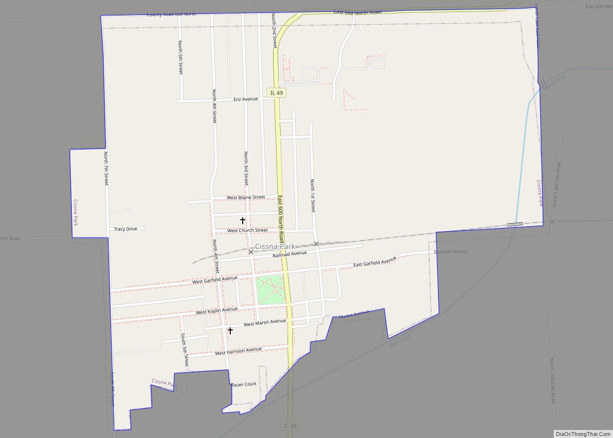
Online Interactive Map
Click on ![]() to view map in "full screen" mode.
to view map in "full screen" mode.
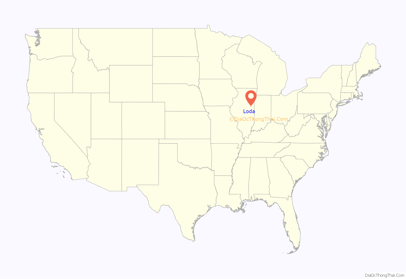
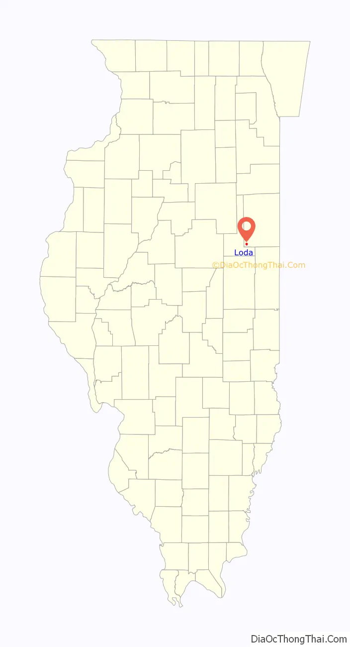
Loda location map. Where is Loda village?
History
A post office called Loda has been in operation since 1880. The village derives its name from “Cath-Loda”, a poem by Ossian.
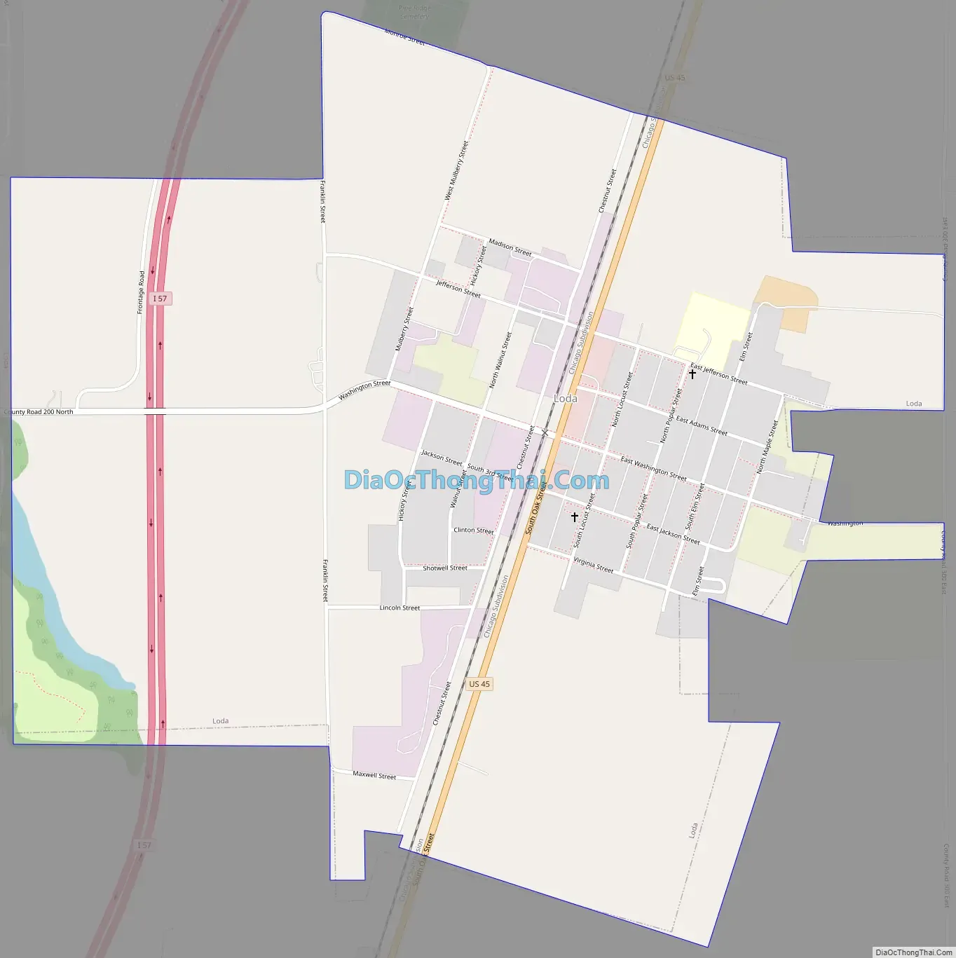
Loda Road Map
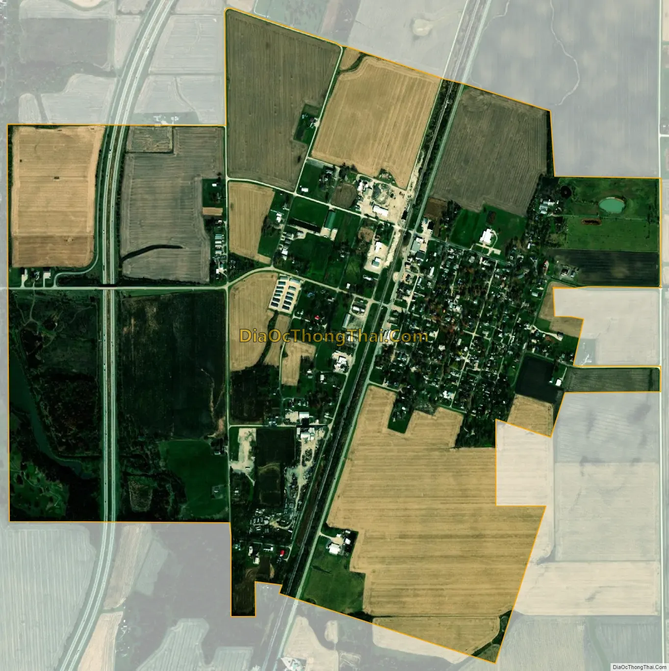
Loda city Satellite Map
Geography
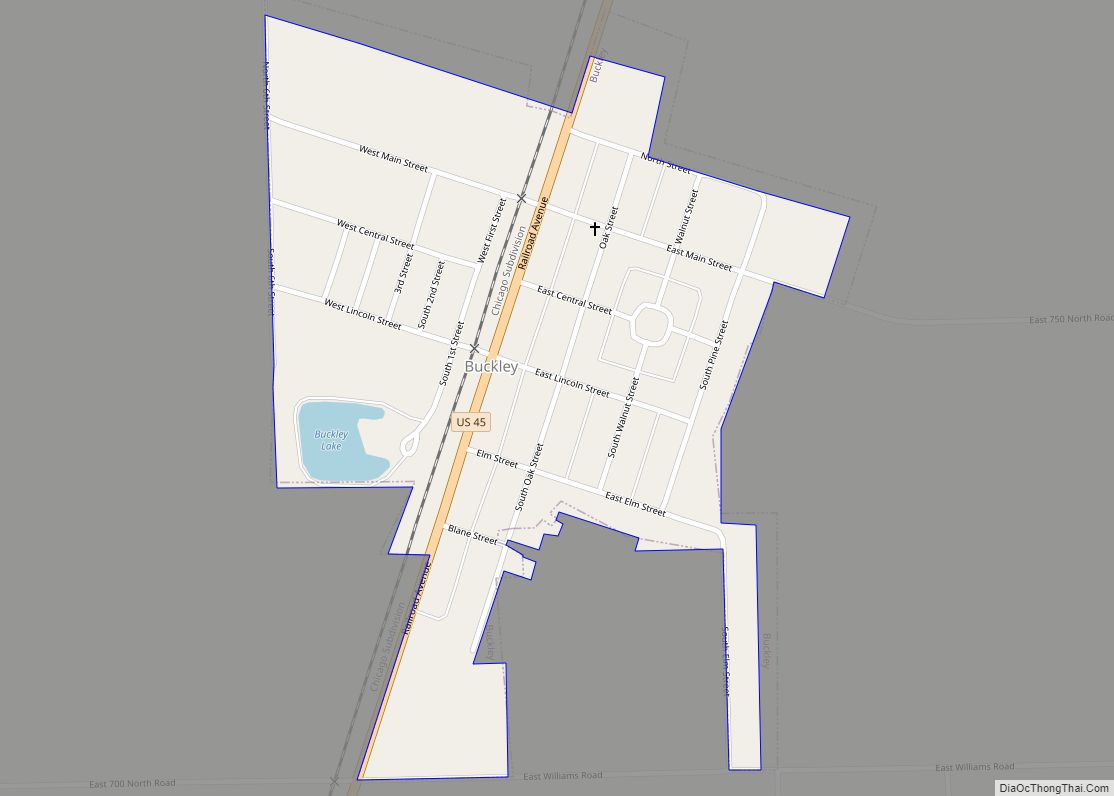
Loda is located in southwestern Iroquois County at 40°30′59″N 88°4′26″W / 40.51639°N 88.07389°W / 40.51639; -88.07389 (40.516400, -88.073975). U.S. Route 45 passes through the center of the village, leading north 6 miles (10 km) to Buckley and south 4 miles (6 km) to Paxton. Interstate 57 passes through the west side of Loda, but with no direct access.
According to the 2010 census, the village has a total area of 1.46 square miles (3.8 km), of which 1.45 square miles (3.8 km) (or 99.32%) is land and 0.01 square miles (0.026 km) (or 0.68%) is water.
Bayles Lake is a freshwater reservoir located just west of Loda. The lake is an impoundment of Spring Creek, a north-flowing tributary of the Iroquois River, part of the Kankakee River watershed.
See also
Map of Illinois State and its subdivision:- Adams
- Alexander
- Bond
- Boone
- Brown
- Bureau
- Calhoun
- Carroll
- Cass
- Champaign
- Christian
- Clark
- Clay
- Clinton
- Coles
- Cook
- Crawford
- Cumberland
- De Kalb
- De Witt
- Douglas
- Dupage
- Edgar
- Edwards
- Effingham
- Fayette
- Ford
- Franklin
- Fulton
- Gallatin
- Greene
- Grundy
- Hamilton
- Hancock
- Hardin
- Henderson
- Henry
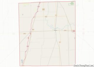
- Iroquois
- Jackson
- Jasper
- Jefferson
- Jersey
- Jo Daviess
- Johnson
- Kane
- Kankakee
- Kendall
- Knox
- La Salle
- Lake
- Lake Michigan
- Lawrence
- Lee
- Livingston
- Logan
- Macon
- Macoupin
- Madison
- Marion
- Marshall
- Mason
- Massac
- McDonough
- McHenry
- McLean
- Menard
- Mercer
- Monroe
- Montgomery
- Morgan
- Moultrie
- Ogle
- Peoria
- Perry
- Piatt
- Pike
- Pope
- Pulaski
- Putnam
- Randolph
- Richland
- Rock Island
- Saint Clair
- Saline
- Sangamon
- Schuyler
- Scott
- Shelby
- Stark
- Stephenson
- Tazewell
- Union
- Vermilion
- Wabash
- Warren
- Washington
- Wayne
- White
- Whiteside
- Will
- Williamson
- Winnebago
- Woodford
- Alabama
- Alaska
- Arizona
- Arkansas
- California
- Colorado
- Connecticut
- Delaware
- District of Columbia
- Florida
- Georgia
- Hawaii
- Idaho
- Illinois
- Indiana
- Iowa
- Kansas
- Kentucky
- Louisiana
- Maine
- Maryland
- Massachusetts
- Michigan
- Minnesota
- Mississippi
- Missouri
- Montana
- Nebraska
- Nevada
- New Hampshire
- New Jersey
- New Mexico
- New York
- North Carolina
- North Dakota
- Ohio
- Oklahoma
- Oregon
- Pennsylvania
- Rhode Island
- South Carolina
- South Dakota
- Tennessee
- Texas
- Utah
- Vermont
- Virginia
- Washington
- West Virginia
- Wisconsin
- Wyoming