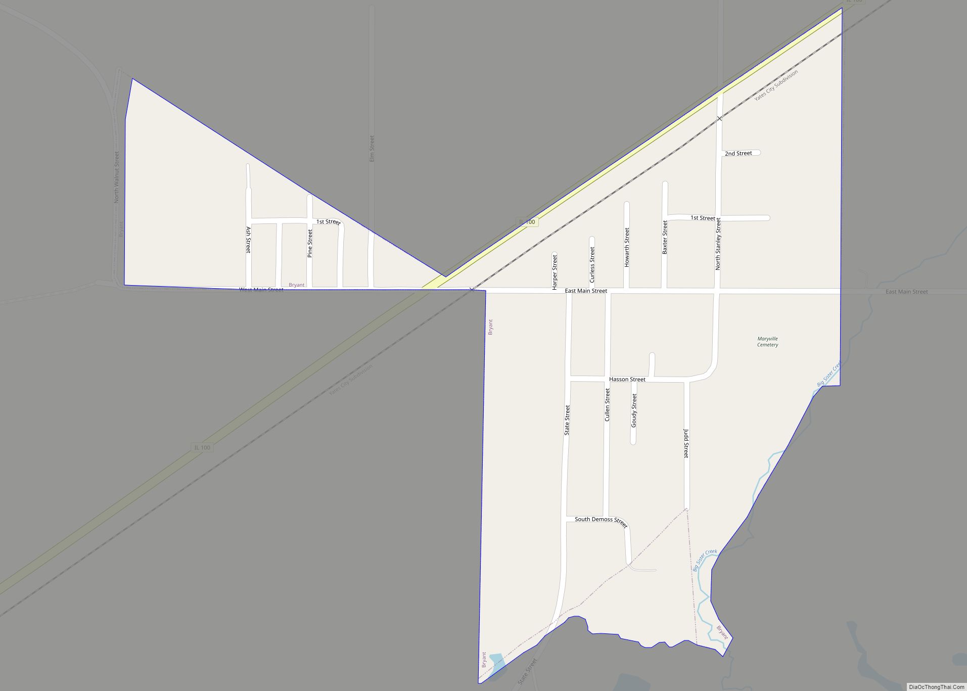
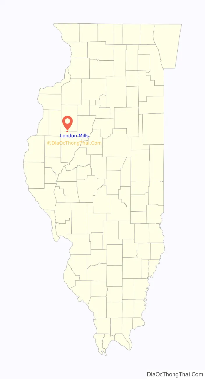
London Mills is a village in Fulton and Knox counties in the U.S. state of Illinois. The population was 392 at the 2010 census, down from 447 at the 2000 census.
The Fulton County portion of London Mills is part of the Canton Micropolitan Statistical Area and the wider Peoria Consolidated Statistical Area, while the Knox County portion is part of the Galesburg Micropolitan Statistical Area.
| Name: | London Mills village |
|---|---|
| LSAD Code: | 47 |
| LSAD Description: | village (suffix) |
| State: | Illinois |
| County: | Fulton County, Knox County |
| Elevation: | 541 ft (165 m) |
| Total Area: | 0.68 sq mi (1.77 km²) |
| Land Area: | 0.68 sq mi (1.77 km²) |
| Water Area: | 0.00 sq mi (0.00 km²) |
| Total Population: | 350 |
| Population Density: | 511.70/sq mi (197.60/km²) |
| Area code: | 309 |
| FIPS code: | 1744446 |
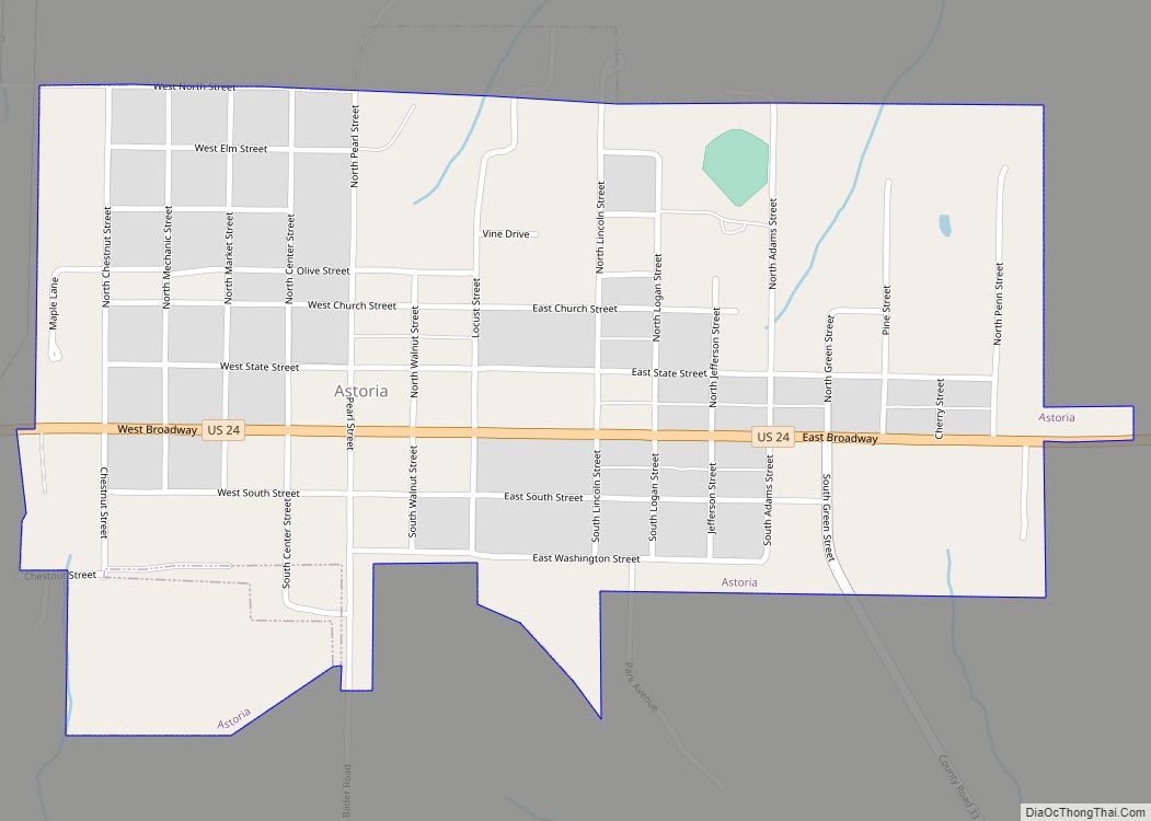
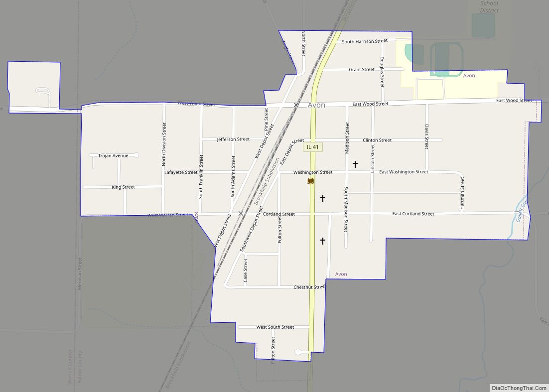
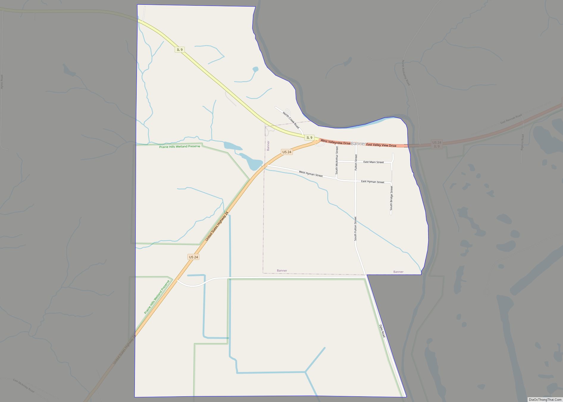
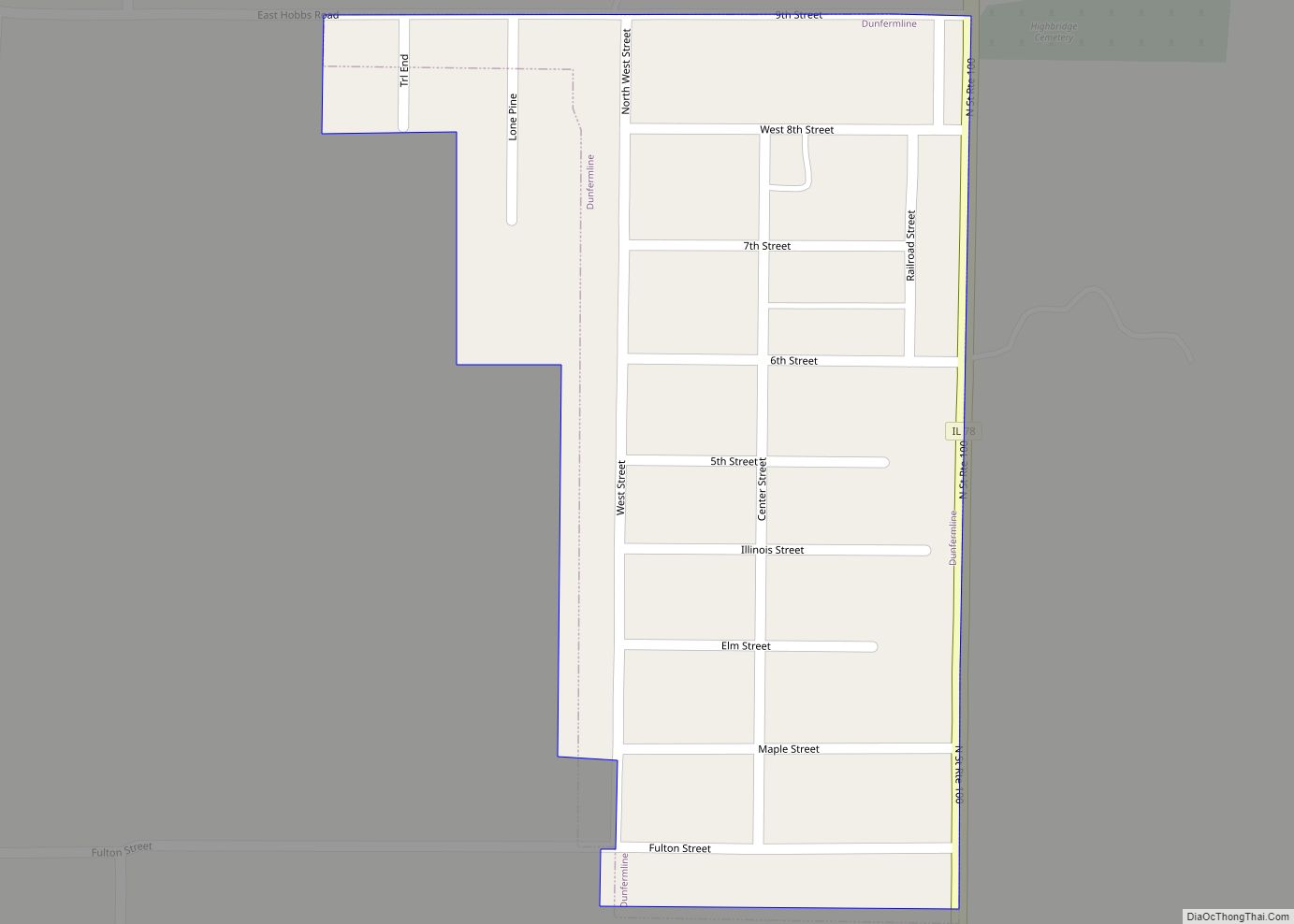
Online Interactive Map
Click on ![]() to view map in "full screen" mode.
to view map in "full screen" mode.
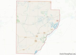
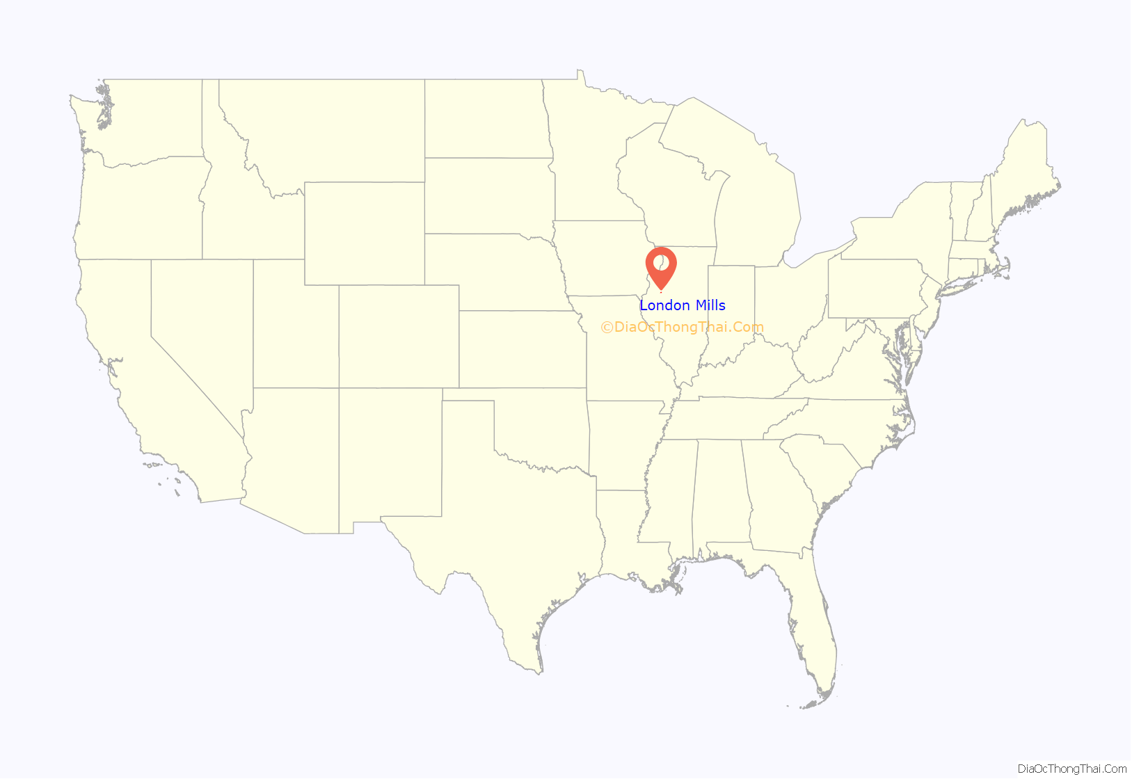
London Mills location map. Where is London Mills village?
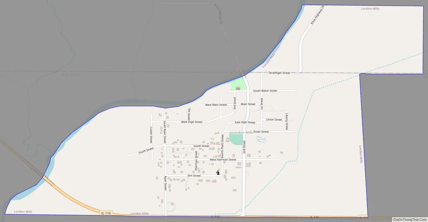
London Mills Road Map
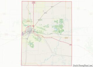
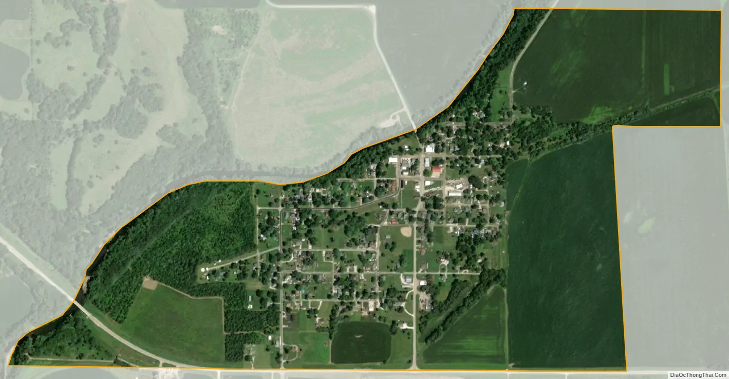
London Mills city Satellite Map
Geography
London Mills is located along the boundary between Fulton and Knox counties. In the 2000 census, 442 of London Mills’ 447 residents (98.9%) lived in Fulton County and 5 (1.2%) lived in Knox County.
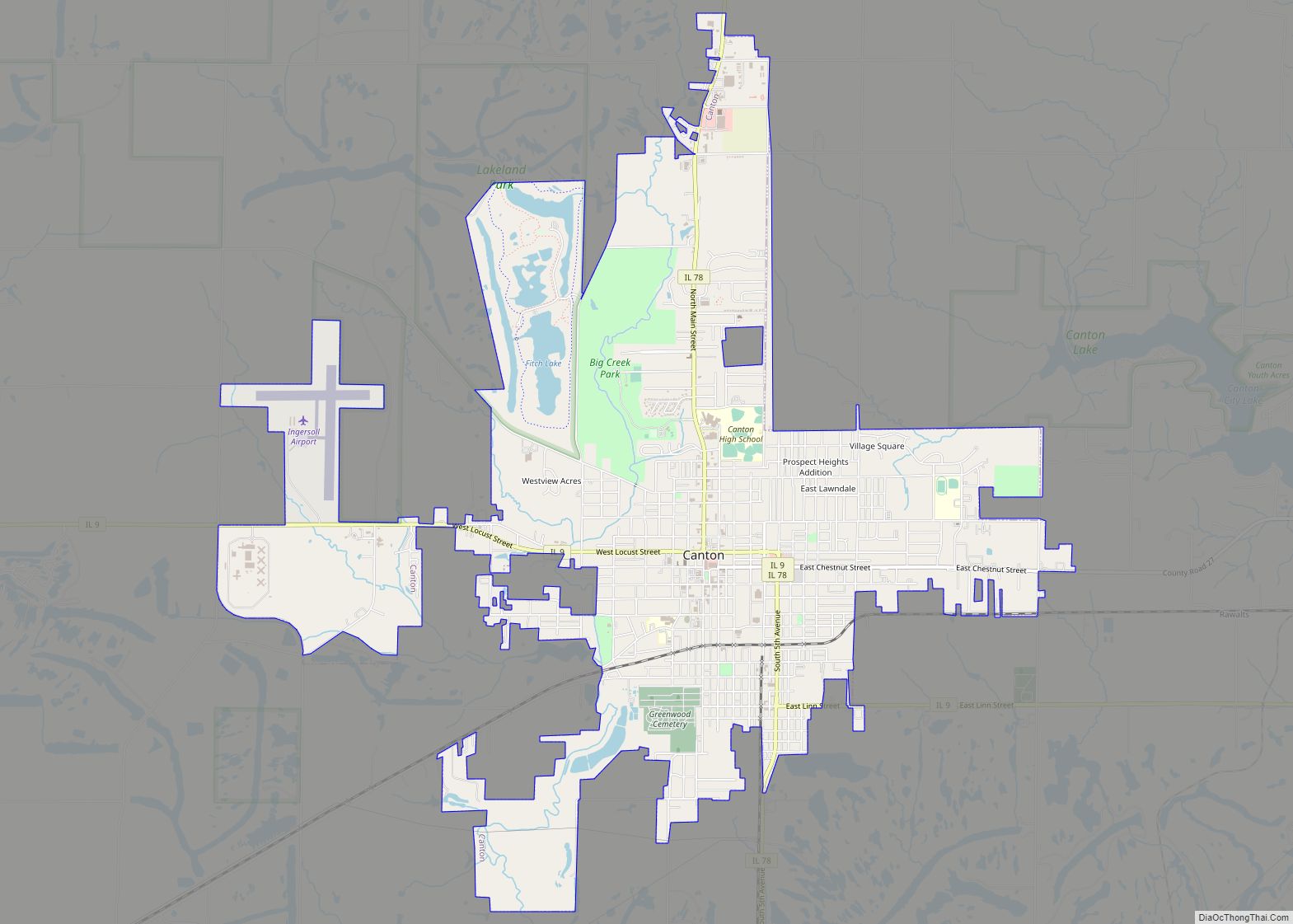
The village is bordered to the northwest by the Spoon River, a south-flowing tributary of the Illinois River. Illinois Route 116 forms the southern edge of the village. The highway leads east 14 miles (23 km) to Farmington and west 8 miles (13 km) to St. Augustine. Canton, the largest city in Fulton County, is 22 miles (35 km) to the southeast.
According to the 2010 census, London Mills has a total area of 0.68 square miles (1.76 km), all land.
See also
Map of Illinois State and its subdivision:- Adams
- Alexander
- Bond
- Boone
- Brown
- Bureau
- Calhoun
- Carroll
- Cass
- Champaign
- Christian
- Clark
- Clay
- Clinton
- Coles
- Cook
- Crawford
- Cumberland
- De Kalb
- De Witt
- Douglas
- Dupage
- Edgar
- Edwards
- Effingham
- Fayette
- Ford
- Franklin
- Fulton
- Gallatin
- Greene
- Grundy
- Hamilton
- Hancock
- Hardin
- Henderson
- Henry
- Iroquois
- Jackson
- Jasper
- Jefferson
- Jersey
- Jo Daviess
- Johnson
- Kane
- Kankakee
- Kendall
- Knox
- La Salle
- Lake
- Lake Michigan
- Lawrence
- Lee
- Livingston
- Logan
- Macon
- Macoupin
- Madison
- Marion
- Marshall
- Mason
- Massac
- McDonough
- McHenry
- McLean
- Menard
- Mercer
- Monroe
- Montgomery
- Morgan
- Moultrie
- Ogle
- Peoria
- Perry
- Piatt
- Pike
- Pope
- Pulaski
- Putnam
- Randolph
- Richland
- Rock Island
- Saint Clair
- Saline
- Sangamon
- Schuyler
- Scott
- Shelby
- Stark
- Stephenson
- Tazewell
- Union
- Vermilion
- Wabash
- Warren
- Washington
- Wayne
- White
- Whiteside
- Will
- Williamson
- Winnebago
- Woodford
- Alabama
- Alaska
- Arizona
- Arkansas
- California
- Colorado
- Connecticut
- Delaware
- District of Columbia
- Florida
- Georgia
- Hawaii
- Idaho
- Illinois
- Indiana
- Iowa
- Kansas
- Kentucky
- Louisiana
- Maine
- Maryland
- Massachusetts
- Michigan
- Minnesota
- Mississippi
- Missouri
- Montana
- Nebraska
- Nevada
- New Hampshire
- New Jersey
- New Mexico
- New York
- North Carolina
- North Dakota
- Ohio
- Oklahoma
- Oregon
- Pennsylvania
- Rhode Island
- South Carolina
- South Dakota
- Tennessee
- Texas
- Utah
- Vermont
- Virginia
- Washington
- West Virginia
- Wisconsin
- Wyoming