Magnolia is a village in Putnam County, Illinois, United States. The population was 260 at the 2010 census. It is part of the Ottawa Micropolitan Statistical Area.
| Name: | Magnolia village |
|---|---|
| LSAD Code: | 47 |
| LSAD Description: | village (suffix) |
| State: | Illinois |
| County: | Putnam County |
| Elevation: | 661 ft (201 m) |
| Total Area: | 0.31 sq mi (0.81 km²) |
| Land Area: | 0.31 sq mi (0.81 km²) |
| Water Area: | 0.00 sq mi (0.00 km²) 0% |
| Total Population: | 256 |
| Population Density: | 817.89/sq mi (316.10/km²) |
| ZIP code: | 61336 |
| FIPS code: | 1746110 |
Online Interactive Map
Click on ![]() to view map in "full screen" mode.
to view map in "full screen" mode.
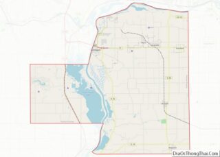
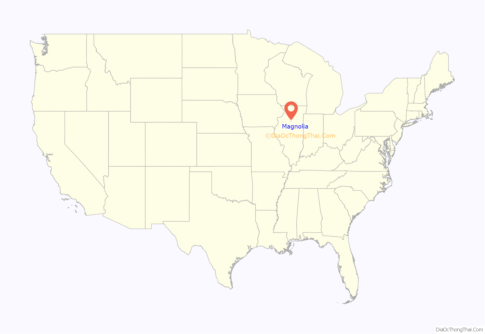
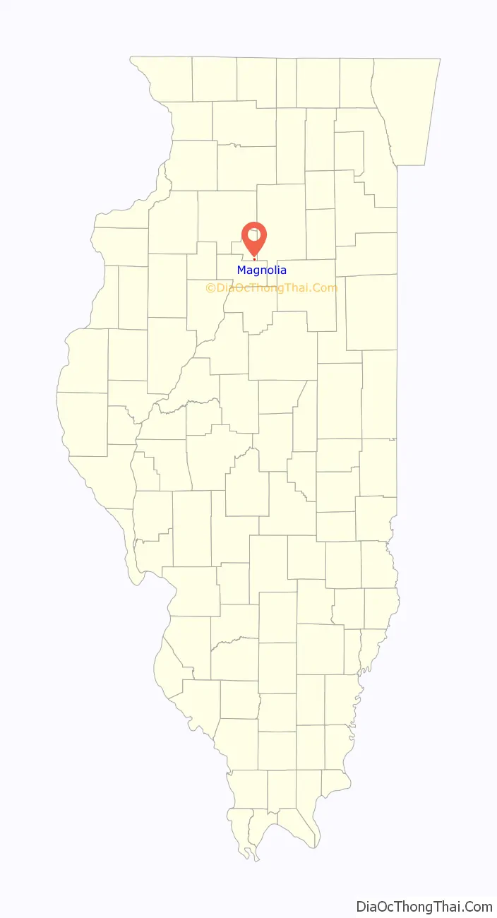
Magnolia location map. Where is Magnolia village?
History
Magnolia is the oldest village in Putnam County, originally settled in the 1830s by William Hawes. Said to once have over 2,000 residents, the village now has approximately 300 citizens. Magnolia is most famous for its mushroom festival, which later moved to a larger city. This made room for the Magnolia days events that take place in August every year.
The high school building was constructed in 1912 and later demolished in 2006. In 1964, Magnolia joined the newly created school district, Putnam County, which consolidated the school districts of Magnolia Swaney (communities of Magnolia and McNabb), Hennepin (town of Hennepin), and Hopkins Township High School (communities of Granville, Standard, and Mark).
At one time, the village had a bank, jail, grocery store and much more. The town is now occupied by a restaurant, tavern, consignment shop and several churches. Another long-standing social institution is the Magnolia Masonic Lodge. Magnolia has a long heritage of military tradition and strong following through the American Legion.
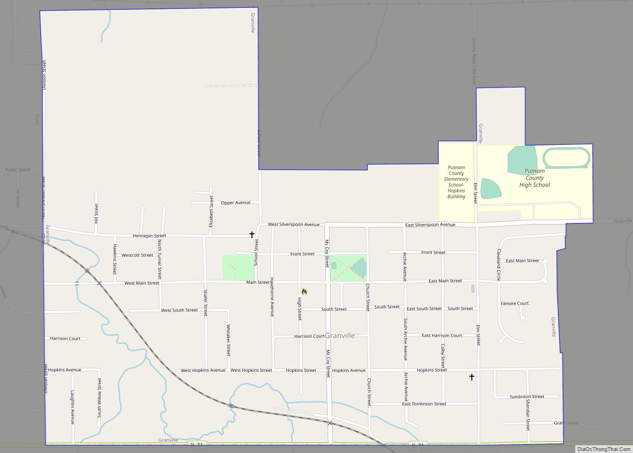
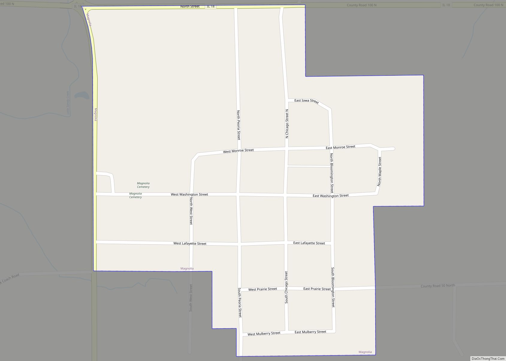
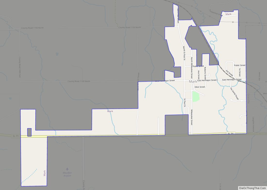
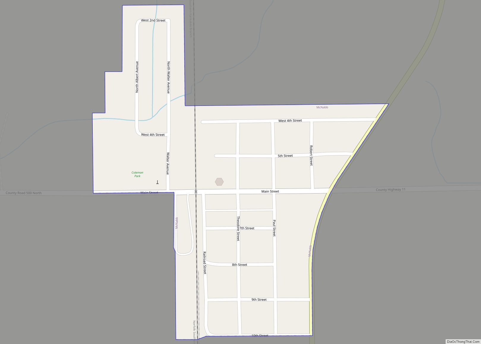
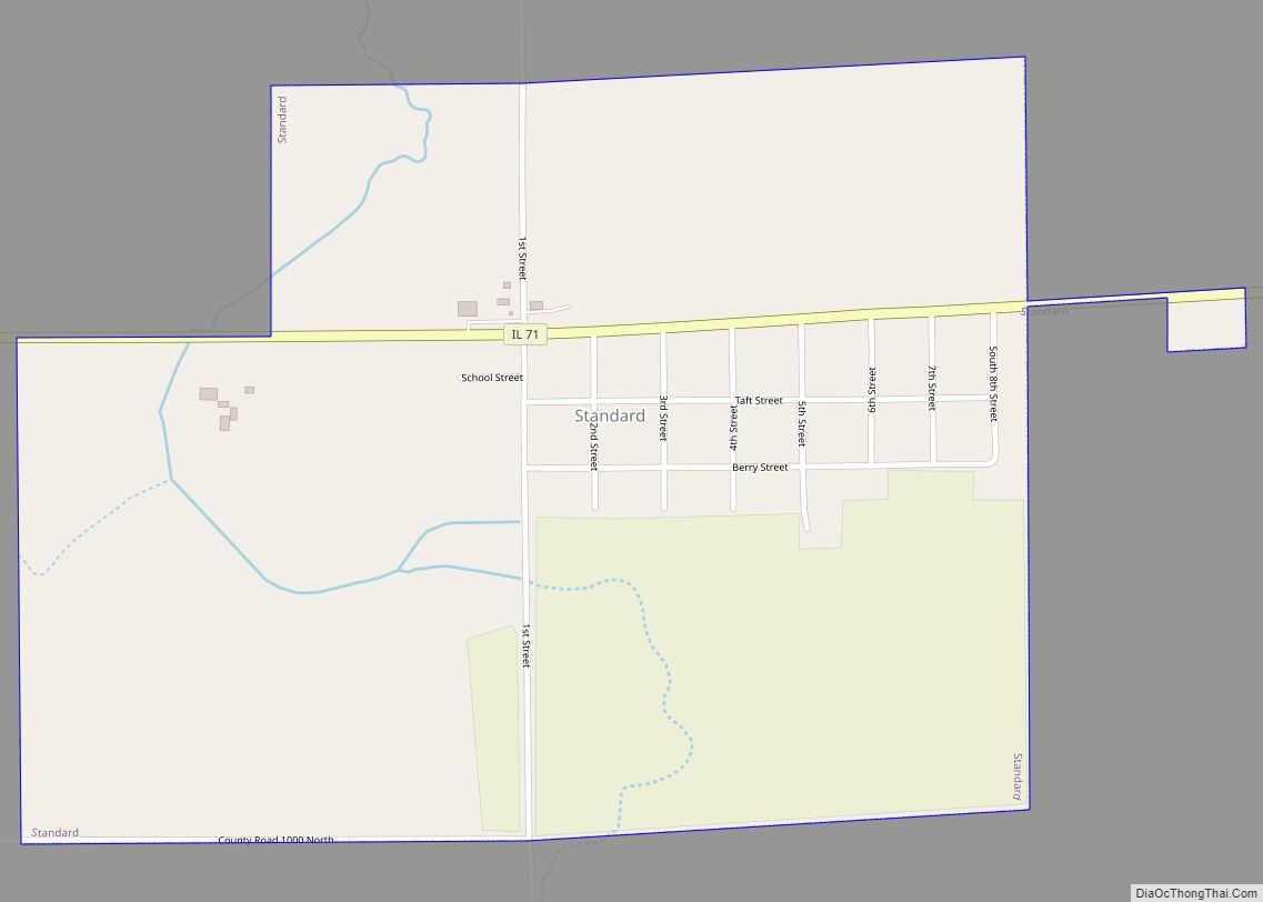
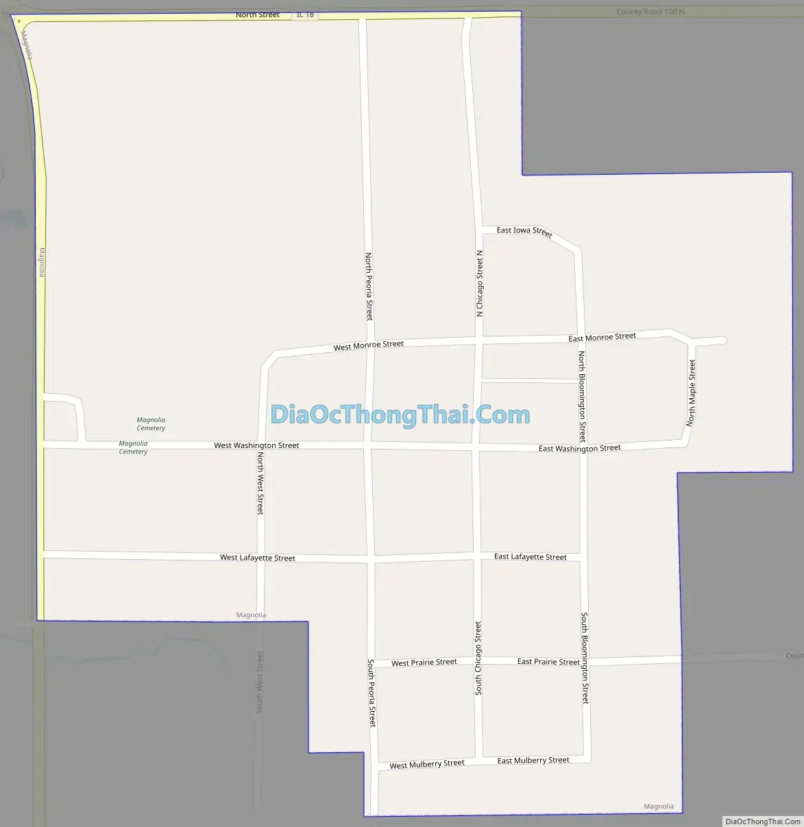
Magnolia Road Map
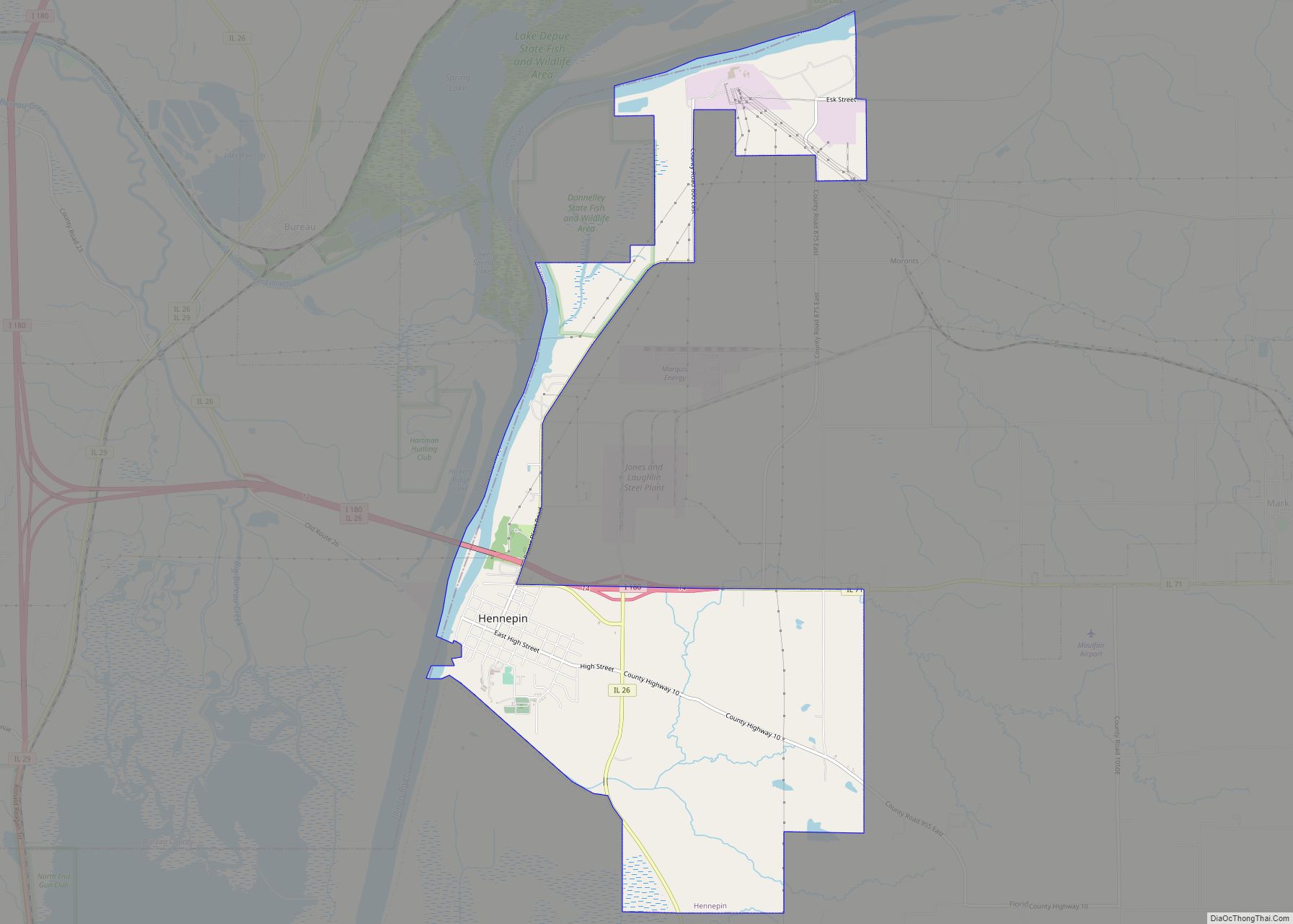
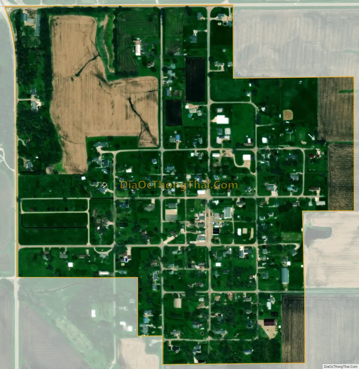
Magnolia city Satellite Map
Geography
According to the 2010 census, the village has a total area of 0.33 square miles (0.85 km), all land.
See also
Map of Illinois State and its subdivision:- Adams
- Alexander
- Bond
- Boone
- Brown
- Bureau
- Calhoun
- Carroll
- Cass
- Champaign
- Christian
- Clark
- Clay
- Clinton
- Coles
- Cook
- Crawford
- Cumberland
- De Kalb
- De Witt
- Douglas
- Dupage
- Edgar
- Edwards
- Effingham
- Fayette
- Ford
- Franklin
- Fulton
- Gallatin
- Greene
- Grundy
- Hamilton
- Hancock
- Hardin
- Henderson
- Henry
- Iroquois
- Jackson
- Jasper
- Jefferson
- Jersey
- Jo Daviess
- Johnson
- Kane
- Kankakee
- Kendall
- Knox
- La Salle
- Lake
- Lake Michigan
- Lawrence
- Lee
- Livingston
- Logan
- Macon
- Macoupin
- Madison
- Marion
- Marshall
- Mason
- Massac
- McDonough
- McHenry
- McLean
- Menard
- Mercer
- Monroe
- Montgomery
- Morgan
- Moultrie
- Ogle
- Peoria
- Perry
- Piatt
- Pike
- Pope
- Pulaski
- Putnam
- Randolph
- Richland
- Rock Island
- Saint Clair
- Saline
- Sangamon
- Schuyler
- Scott
- Shelby
- Stark
- Stephenson
- Tazewell
- Union
- Vermilion
- Wabash
- Warren
- Washington
- Wayne
- White
- Whiteside
- Will
- Williamson
- Winnebago
- Woodford
- Alabama
- Alaska
- Arizona
- Arkansas
- California
- Colorado
- Connecticut
- Delaware
- District of Columbia
- Florida
- Georgia
- Hawaii
- Idaho
- Illinois
- Indiana
- Iowa
- Kansas
- Kentucky
- Louisiana
- Maine
- Maryland
- Massachusetts
- Michigan
- Minnesota
- Mississippi
- Missouri
- Montana
- Nebraska
- Nevada
- New Hampshire
- New Jersey
- New Mexico
- New York
- North Carolina
- North Dakota
- Ohio
- Oklahoma
- Oregon
- Pennsylvania
- Rhode Island
- South Carolina
- South Dakota
- Tennessee
- Texas
- Utah
- Vermont
- Virginia
- Washington
- West Virginia
- Wisconsin
- Wyoming