Manhattan (/mænˈhætən/MANN-haton) is a village in Will County, Illinois. The population was 9,385 at the time of the 2020 census. The U.S. Census Bureau estimates the population to be 10,037 As of July 2021. The community is located in northeastern Illinois approximately 50 miles (80 km) southwest of Chicago.
| Name: | Manhattan village |
|---|---|
| LSAD Code: | 47 |
| LSAD Description: | village (suffix) |
| State: | Illinois |
| County: | Will County |
| Total Area: | 6.68 sq mi (17.30 km²) |
| Land Area: | 6.68 sq mi (17.30 km²) |
| Water Area: | 0.00 sq mi (0.00 km²) |
| Total Population: | 9,385 |
| Population Density: | 1,404.73/sq mi (542.34/km²) |
| Area code: | 815 |
| FIPS code: | 1746357 |
| Website: | www.villageofmanhattan.org |
Online Interactive Map
Click on ![]() to view map in "full screen" mode.
to view map in "full screen" mode.
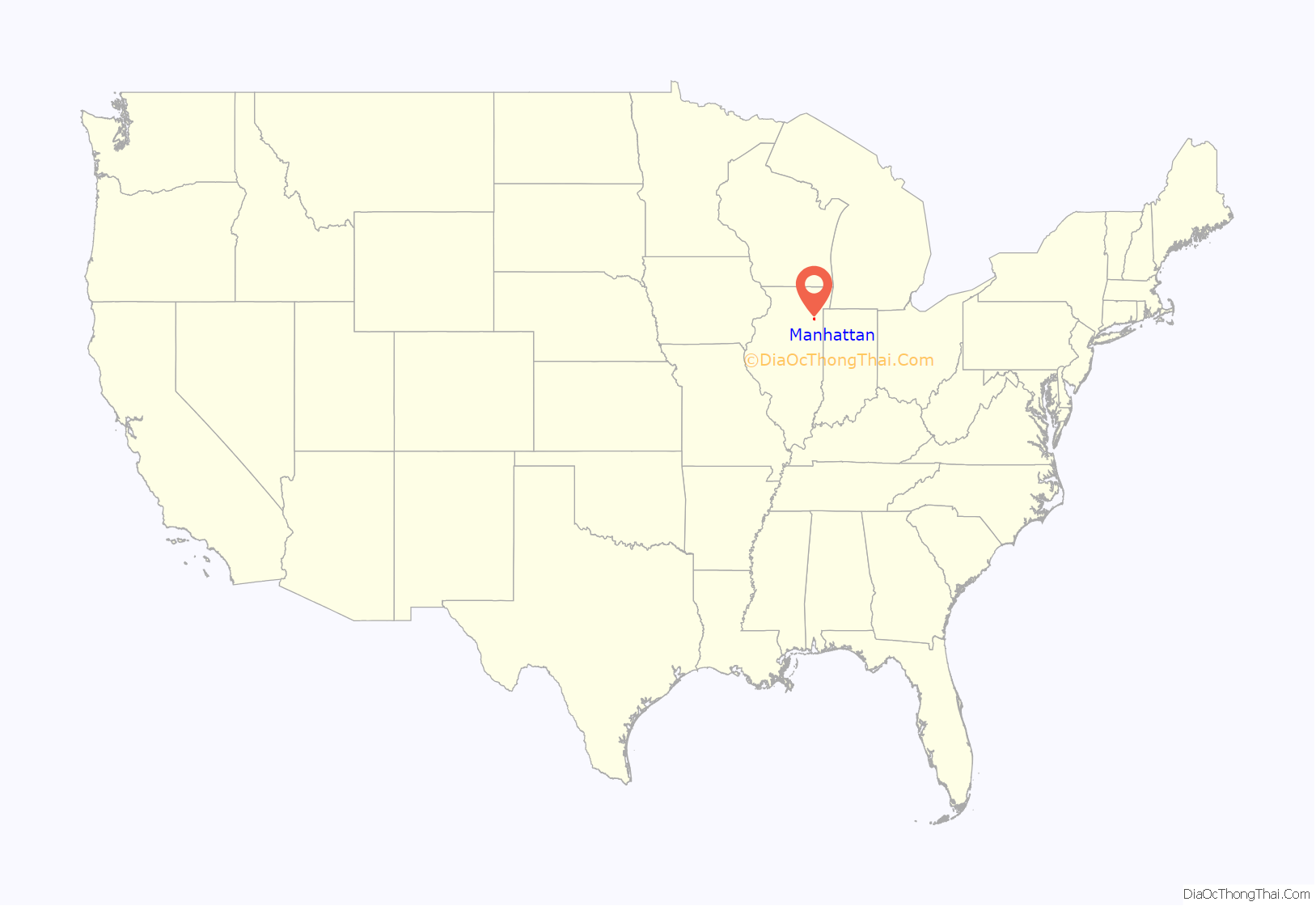
Manhattan location map. Where is Manhattan village?
History
Manhattan was incorporated in 1886. Due to railroad construction in the mid-19th century, many immigrants, especially Irish, moved to the area. It was eventually incorporated to obtain a saloon license. With roots in farming, the village has grown over the last ten years to accommodate over 6,071 people. Its forebears of German and Irish heritage give expression in the early spring festival Irish Fest.
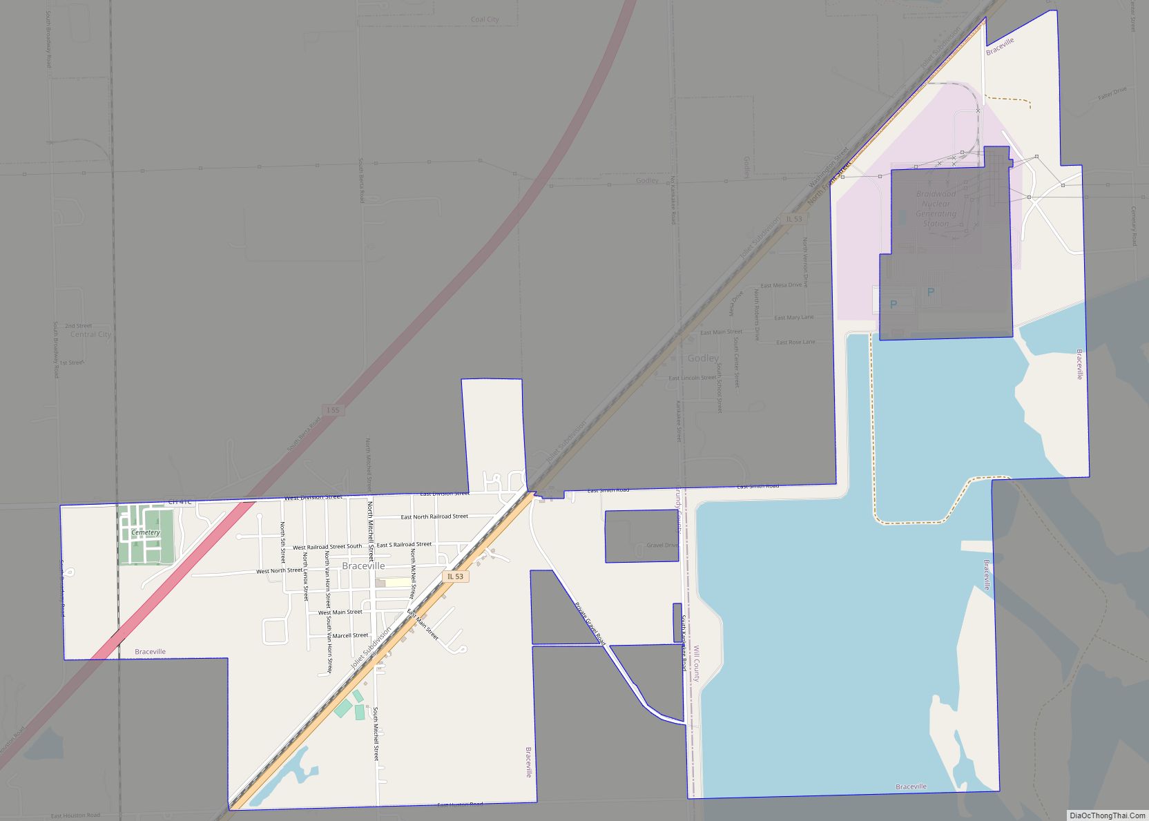
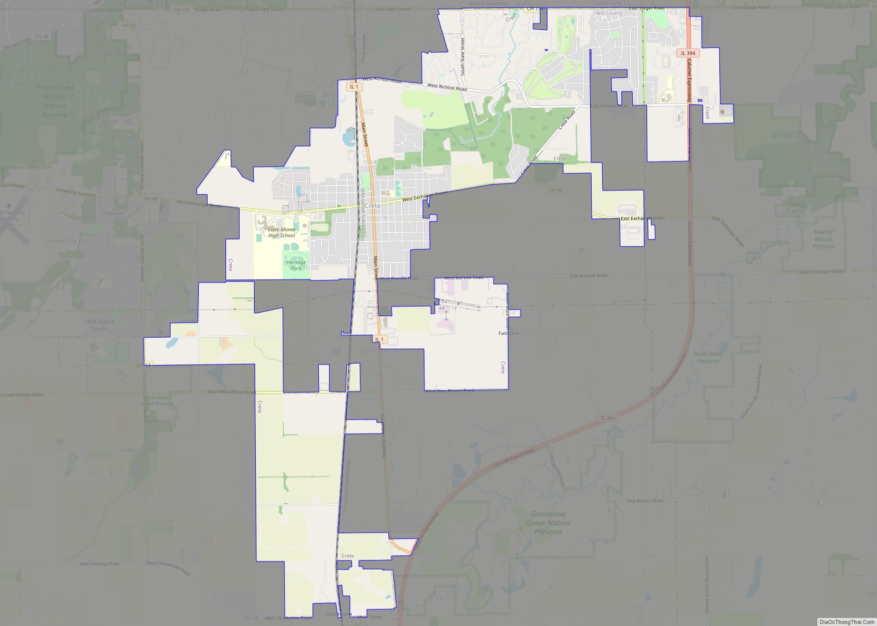
Manhattan Road Map
Manhattan city Satellite Map
Geography
Manhattan is located at 41°25′19″N 87°58′52″W / 41.42194°N 87.98111°W / 41.42194; -87.98111 (41.422044, -87.981042).
According to the 2010 census, Manhattan has a total area of 6.57 square miles (17.02 km), all land.
Manhattan is located along the Wauponsee Glacial Trail that can be accessed at the Manhattan Road Access Point.
See also
Map of Illinois State and its subdivision:- Adams
- Alexander
- Bond
- Boone
- Brown
- Bureau
- Calhoun
- Carroll
- Cass
- Champaign
- Christian
- Clark
- Clay
- Clinton
- Coles
- Cook
- Crawford
- Cumberland
- De Kalb
- De Witt
- Douglas
- Dupage
- Edgar
- Edwards
- Effingham
- Fayette
- Ford
- Franklin
- Fulton
- Gallatin
- Greene
- Grundy
- Hamilton
- Hancock
- Hardin
- Henderson
- Henry
- Iroquois
- Jackson
- Jasper
- Jefferson
- Jersey
- Jo Daviess
- Johnson
- Kane
- Kankakee
- Kendall
- Knox
- La Salle
- Lake
- Lake Michigan
- Lawrence
- Lee
- Livingston
- Logan
- Macon
- Macoupin
- Madison
- Marion
- Marshall
- Mason
- Massac
- McDonough
- McHenry
- McLean
- Menard
- Mercer
- Monroe
- Montgomery
- Morgan
- Moultrie
- Ogle
- Peoria
- Perry
- Piatt
- Pike
- Pope
- Pulaski
- Putnam
- Randolph
- Richland
- Rock Island
- Saint Clair
- Saline
- Sangamon
- Schuyler
- Scott
- Shelby
- Stark
- Stephenson
- Tazewell
- Union
- Vermilion
- Wabash
- Warren
- Washington
- Wayne
- White
- Whiteside
- Will
- Williamson
- Winnebago
- Woodford
- Alabama
- Alaska
- Arizona
- Arkansas
- California
- Colorado
- Connecticut
- Delaware
- District of Columbia
- Florida
- Georgia
- Hawaii
- Idaho
- Illinois
- Indiana
- Iowa
- Kansas
- Kentucky
- Louisiana
- Maine
- Maryland
- Massachusetts
- Michigan
- Minnesota
- Mississippi
- Missouri
- Montana
- Nebraska
- Nevada
- New Hampshire
- New Jersey
- New Mexico
- New York
- North Carolina
- North Dakota
- Ohio
- Oklahoma
- Oregon
- Pennsylvania
- Rhode Island
- South Carolina
- South Dakota
- Tennessee
- Texas
- Utah
- Vermont
- Virginia
- Washington
- West Virginia
- Wisconsin
- Wyoming
