Marengo is a city in McHenry County, Illinois, United States on the Kishwaukee River. It lies approximately 60 miles west northwest of Chicago. Per the 2020 census, the population was 7,568.
| Name: | Marengo city |
|---|---|
| LSAD Code: | 25 |
| LSAD Description: | city (suffix) |
| State: | Illinois |
| County: | McHenry County |
| Founded: | 1835 |
| Elevation: | 833 ft (254 m) |
| Total Area: | 8.90 sq mi (23.06 km²) |
| Land Area: | 8.90 sq mi (23.06 km²) |
| Water Area: | 0.00 sq mi (0.00 km²) |
| Total Population: | 7,568 |
| Population Density: | 850.15/sq mi (328.25/km²) |
| ZIP code: | 60152 |
| Area code: | 815 |
| FIPS code: | 1746786 |
| Website: | www.cityofmarengo.com |
Online Interactive Map
Click on ![]() to view map in "full screen" mode.
to view map in "full screen" mode.
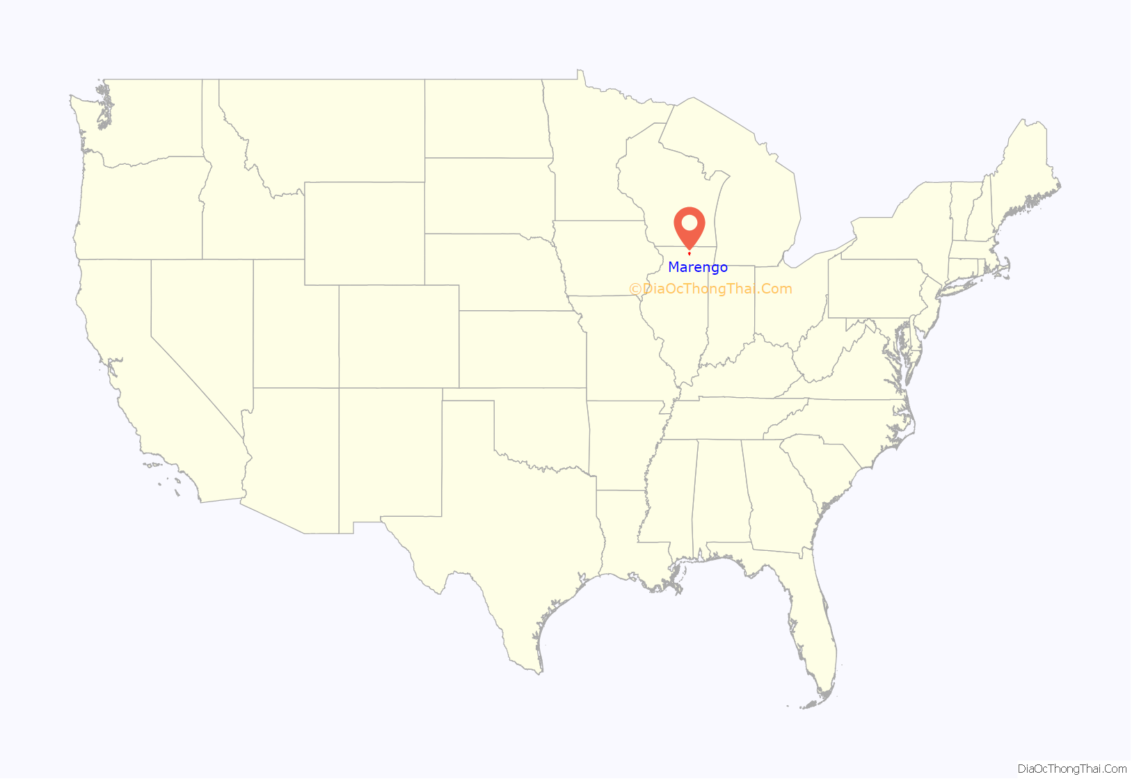
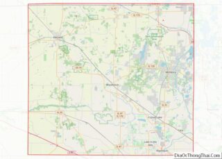
Marengo location map. Where is Marengo city?
History
Marengo was first named Pleasant Grove after a grove of trees near the town site. The present name commemorates the Battle of Marengo. A post office named Marengo was established in 1844.
In the early morning of June 11, 2017, at around 4:50 A.M., a house in the northwest suburbs exploded. The gas explosion set four houses on fire and damaged 50 more, nearly 20 of which were deemed “unlivable.” Despite the extensive damage, no fatalities or serious injuries occurred; only two people were reported to have suffered minor injuries.
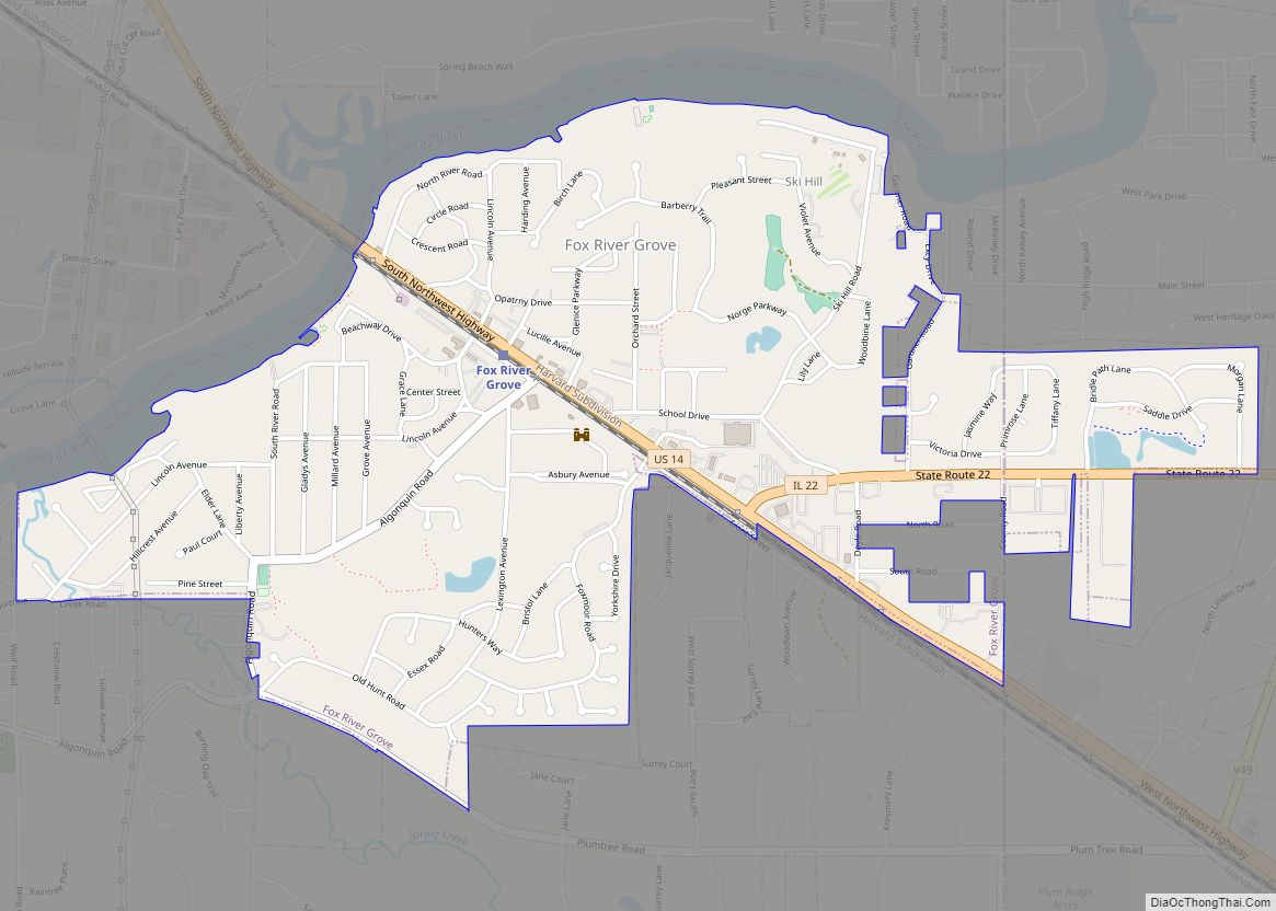
Marengo Road Map
Marengo city Satellite Map
Geography
Marengo is located at 42°15′3″N 88°36′18″W / 42.25083°N 88.60500°W / 42.25083; -88.60500.
The north edge of Marengo is bordered by the Kishwaukee River
According to the 2010 census, Marengo has a total area of 5.01 square miles (12.98 km), all land.
Major streets
- Grant Highway
- State Street
- Telegraph Street
Climate
See also
Map of Illinois State and its subdivision:- Adams
- Alexander
- Bond
- Boone
- Brown
- Bureau
- Calhoun
- Carroll
- Cass
- Champaign
- Christian
- Clark
- Clay
- Clinton
- Coles
- Cook
- Crawford
- Cumberland
- De Kalb
- De Witt
- Douglas
- Dupage
- Edgar
- Edwards
- Effingham
- Fayette
- Ford
- Franklin
- Fulton
- Gallatin
- Greene
- Grundy
- Hamilton
- Hancock
- Hardin
- Henderson
- Henry
- Iroquois
- Jackson
- Jasper
- Jefferson
- Jersey
- Jo Daviess
- Johnson
- Kane
- Kankakee
- Kendall
- Knox
- La Salle
- Lake
- Lake Michigan
- Lawrence
- Lee
- Livingston
- Logan
- Macon
- Macoupin
- Madison
- Marion
- Marshall
- Mason
- Massac
- McDonough
- McHenry
- McLean
- Menard
- Mercer
- Monroe
- Montgomery
- Morgan
- Moultrie
- Ogle
- Peoria
- Perry
- Piatt
- Pike
- Pope
- Pulaski
- Putnam
- Randolph
- Richland
- Rock Island
- Saint Clair
- Saline
- Sangamon
- Schuyler
- Scott
- Shelby
- Stark
- Stephenson
- Tazewell
- Union
- Vermilion
- Wabash
- Warren
- Washington
- Wayne
- White
- Whiteside
- Will
- Williamson
- Winnebago
- Woodford
- Alabama
- Alaska
- Arizona
- Arkansas
- California
- Colorado
- Connecticut
- Delaware
- District of Columbia
- Florida
- Georgia
- Hawaii
- Idaho
- Illinois
- Indiana
- Iowa
- Kansas
- Kentucky
- Louisiana
- Maine
- Maryland
- Massachusetts
- Michigan
- Minnesota
- Mississippi
- Missouri
- Montana
- Nebraska
- Nevada
- New Hampshire
- New Jersey
- New Mexico
- New York
- North Carolina
- North Dakota
- Ohio
- Oklahoma
- Oregon
- Pennsylvania
- Rhode Island
- South Carolina
- South Dakota
- Tennessee
- Texas
- Utah
- Vermont
- Virginia
- Washington
- West Virginia
- Wisconsin
- Wyoming
