Marshall is a city in and the county seat of Clark County, Illinois, United States, located approximately 20 miles (32 km) west of Terre Haute, Indiana. The population was 3,947 at the 2020 census.
| Name: | Marshall city |
|---|---|
| LSAD Code: | 25 |
| LSAD Description: | city (suffix) |
| State: | Illinois |
| County: | Clark County |
| Founded: | 1835 |
| Elevation: | 620 ft (190 m) |
| Total Area: | 3.68 sq mi (9.53 km²) |
| Land Area: | 3.67 sq mi (9.49 km²) |
| Water Area: | 0.01 sq mi (0.04 km²) |
| Total Population: | 3,947 |
| Population Density: | 1,076.65/sq mi (415.71/km²) |
| Area code: | 217 |
| FIPS code: | 1747163 |
| GNISfeature ID: | 2395021 |
Online Interactive Map
Click on ![]() to view map in "full screen" mode.
to view map in "full screen" mode.
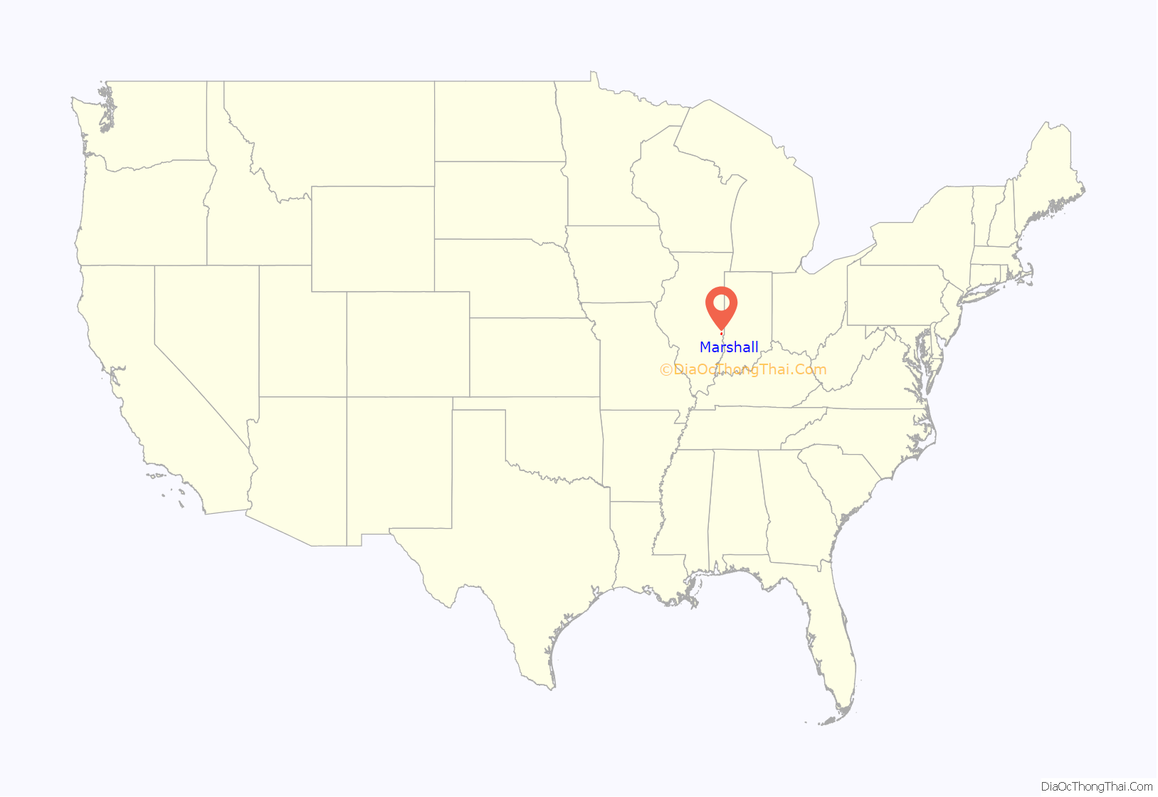
Marshall location map. Where is Marshall city?
History
Marshall was officially organized by William B. Archer in 1835, eight years after the National Road entered the community. The city was named after John Marshall, chief justice of the U.S. Supreme Court. Marshall was incorporated on May 14, 1873.
In 1863, Marshall was the scene of conflict in which local Copperheads, who opposed the Civil War, sought to protect soldiers who had deserted from the Union Army. In March, 1863, an army detail from Indiana arrested several deserters. A local judge, Charles H. Constable, freed the deserters and ordered the arrest of two Union sergeants on kidnapping charges. This resulted in the dispatch of 250 soldiers under the command of Col. Henry B. Carrington by special train from Indianapolis, who surrounded the courthouse, freed the sergeants and arrested judge Charles H. Constable. The judge was, however, absolved several months later after presenting a highly technical defense.
Marshall was home to the Handy Writers’ Colony, 1950–1964. The most famous writer associated with the Colony was the novelist James Jones, who built a home in Marshall and lived there ca. 1952–1957.
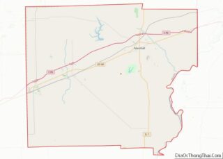
Marshall Road Map
Marshall city Satellite Map
Geography
According to the 2021 census gazetteer files, Marshall has a total area of 3.68 square miles (9.53 km), of which 3.67 square miles (9.51 km) (or 99.59%) is land and 0.02 square miles (0.05 km) (or 0.41%) is water.
See also
Map of Illinois State and its subdivision:- Adams
- Alexander
- Bond
- Boone
- Brown
- Bureau
- Calhoun
- Carroll
- Cass
- Champaign
- Christian
- Clark
- Clay
- Clinton
- Coles
- Cook
- Crawford
- Cumberland
- De Kalb
- De Witt
- Douglas
- Dupage
- Edgar
- Edwards
- Effingham
- Fayette
- Ford
- Franklin
- Fulton
- Gallatin
- Greene
- Grundy
- Hamilton
- Hancock
- Hardin
- Henderson
- Henry
- Iroquois
- Jackson
- Jasper
- Jefferson
- Jersey
- Jo Daviess
- Johnson
- Kane
- Kankakee
- Kendall
- Knox
- La Salle
- Lake
- Lake Michigan
- Lawrence
- Lee
- Livingston
- Logan
- Macon
- Macoupin
- Madison
- Marion
- Marshall
- Mason
- Massac
- McDonough
- McHenry
- McLean
- Menard
- Mercer
- Monroe
- Montgomery
- Morgan
- Moultrie
- Ogle
- Peoria
- Perry
- Piatt
- Pike
- Pope
- Pulaski
- Putnam
- Randolph
- Richland
- Rock Island
- Saint Clair
- Saline
- Sangamon
- Schuyler
- Scott
- Shelby
- Stark
- Stephenson
- Tazewell
- Union
- Vermilion
- Wabash
- Warren
- Washington
- Wayne
- White
- Whiteside
- Will
- Williamson
- Winnebago
- Woodford
- Alabama
- Alaska
- Arizona
- Arkansas
- California
- Colorado
- Connecticut
- Delaware
- District of Columbia
- Florida
- Georgia
- Hawaii
- Idaho
- Illinois
- Indiana
- Iowa
- Kansas
- Kentucky
- Louisiana
- Maine
- Maryland
- Massachusetts
- Michigan
- Minnesota
- Mississippi
- Missouri
- Montana
- Nebraska
- Nevada
- New Hampshire
- New Jersey
- New Mexico
- New York
- North Carolina
- North Dakota
- Ohio
- Oklahoma
- Oregon
- Pennsylvania
- Rhode Island
- South Carolina
- South Dakota
- Tennessee
- Texas
- Utah
- Vermont
- Virginia
- Washington
- West Virginia
- Wisconsin
- Wyoming
