Matteson (/ˈmætɪsən/) is a village in Cook County, Illinois, United States. The population was 19,073 at the 2020 census. It is a suburb of Chicago.
| Name: | Matteson village |
|---|---|
| LSAD Code: | 47 |
| LSAD Description: | village (suffix) |
| State: | Illinois |
| County: | Cook County, Will County |
| Incorporated: | 1889 |
| Total Area: | 9.32 sq mi (24.14 km²) |
| Land Area: | 9.29 sq mi (24.05 km²) |
| Water Area: | 0.03 sq mi (0.09 km²) |
| Total Population: | 19,073 |
| Population Density: | 2,054.17/sq mi (793.12/km²) |
| ZIP code: | 60443 |
| Area code: | 708 |
| FIPS code: | 1747540 |
| Website: | www.villageofmatteson.org |
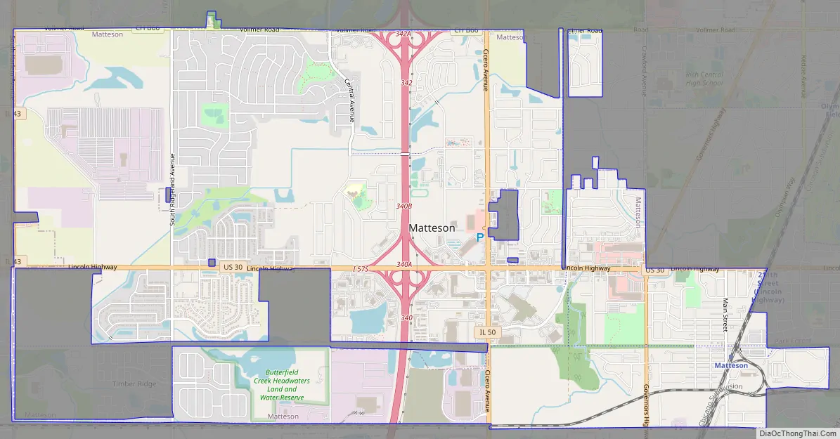
Online Interactive Map
Click on ![]() to view map in "full screen" mode.
to view map in "full screen" mode.
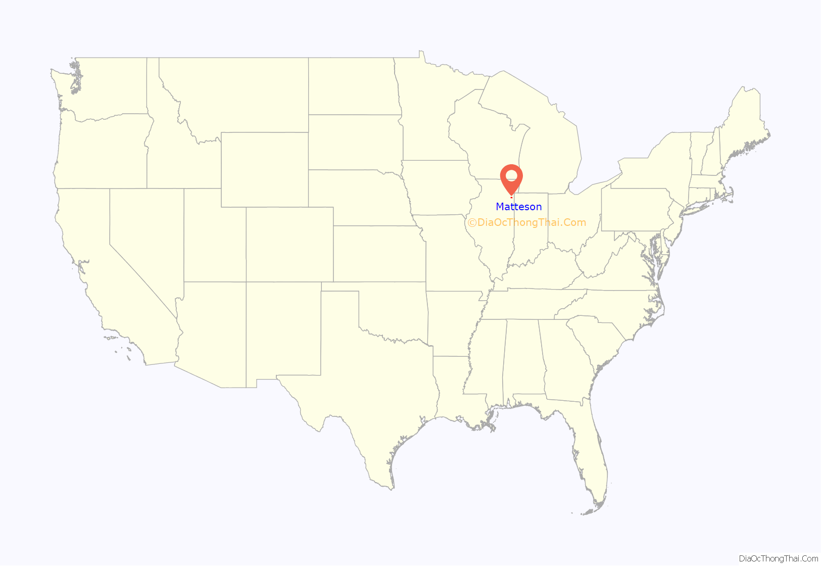
Matteson location map. Where is Matteson village?
History
The area encompassed by modern Matteson was settled in the late 1800s, primarily by people of German descent. Platted in 1855, Matteson had nearly 500 residents when it incorporated as a village in 1889. The village’s namesake is Joel Aldrich Matteson, who served as Illinois’ tenth governor from 1853 to 1857. The 20th century saw improvements in plumbing, the electrification of the Illinois Central Railroad, and the construction of today’s school district, resulting in significant population growth to more than 3,000 residents by the end of the 1960s. By 2000, Matteson was home to Lincoln Mall (opened 1973) and annexed 195 acres of land for the village. Today, Matteson is home to nearly 20,000 residents, hundreds of businesses, and the close proximity of two major hospitals.
In 1995 the African-American community became an increasingly large component of Matteson. The village began a program to encourage white people to move to Matteson. By 2011 the community attracted many well to do African-Americans moving from Chicago. Matteson, which experienced increases in the average incomes in households in several census tracts, saw its African-American population increase by 85% and its white population decline by about 1,200 in the time period 2000-2010.
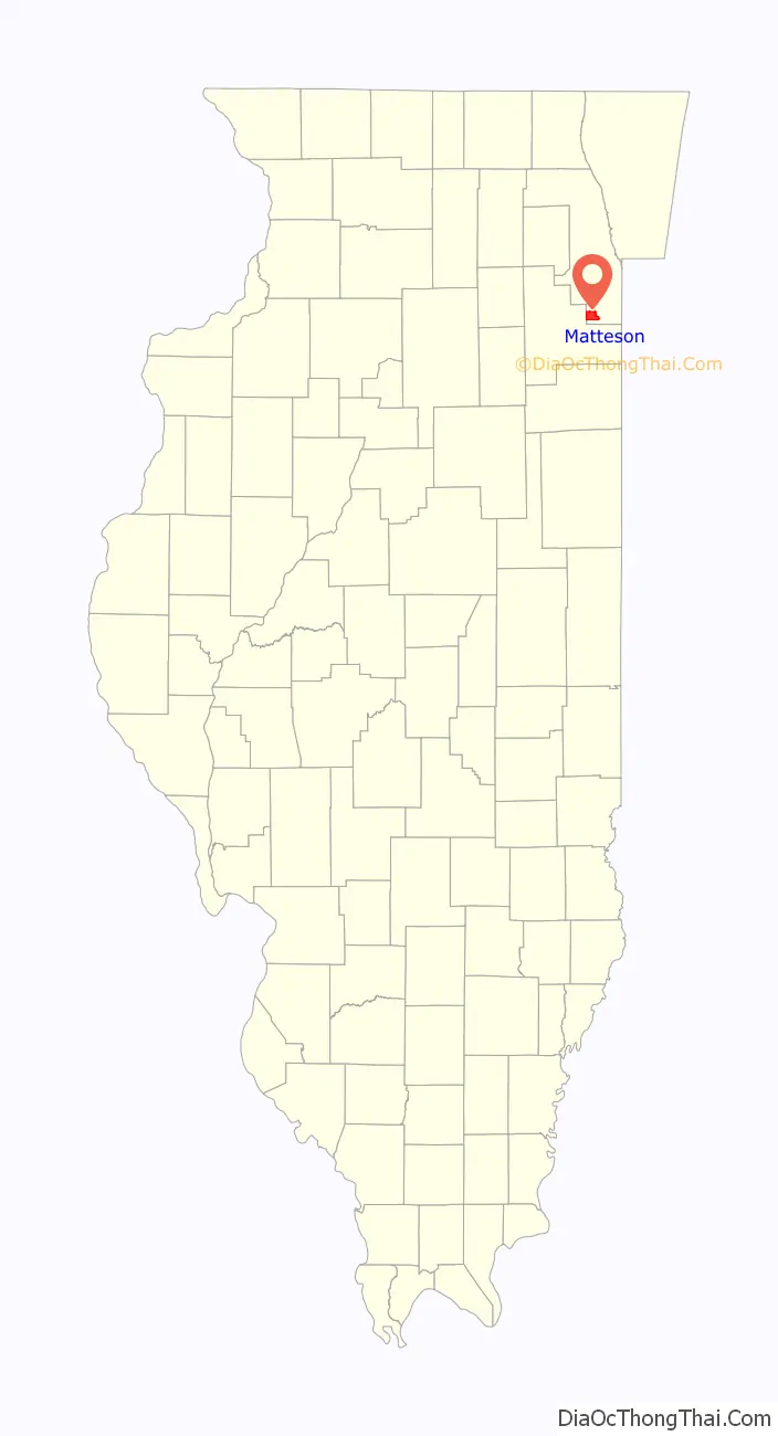
Matteson Road Map
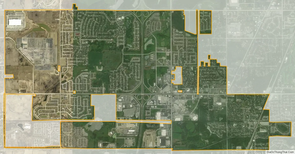
Matteson city Satellite Map
Geography
According to the 2021 census gazetteer files, Matteson has a total area of 9.32 square miles (24.14 km), of which 9.29 square miles (24.06 km) (or 99.64%) is land and 0.03 square miles (0.08 km) (or 0.36%) is water. The village’s topography is mostly flat.
Matteson is bordered by Park Forest and Olympia Fields to the east, Country Club Hills and Tinley Park to the north, Frankfort to the west, and Richton Park to the south.
See also
Map of Illinois State and its subdivision:- Adams
- Alexander
- Bond
- Boone
- Brown
- Bureau
- Calhoun
- Carroll
- Cass
- Champaign
- Christian
- Clark
- Clay
- Clinton
- Coles
- Cook
- Crawford
- Cumberland
- De Kalb
- De Witt
- Douglas
- Dupage
- Edgar
- Edwards
- Effingham
- Fayette
- Ford
- Franklin
- Fulton
- Gallatin
- Greene
- Grundy
- Hamilton
- Hancock
- Hardin
- Henderson
- Henry
- Iroquois
- Jackson
- Jasper
- Jefferson
- Jersey
- Jo Daviess
- Johnson
- Kane
- Kankakee
- Kendall
- Knox
- La Salle
- Lake
- Lake Michigan
- Lawrence
- Lee
- Livingston
- Logan
- Macon
- Macoupin
- Madison
- Marion
- Marshall
- Mason
- Massac
- McDonough
- McHenry
- McLean
- Menard
- Mercer
- Monroe
- Montgomery
- Morgan
- Moultrie
- Ogle
- Peoria
- Perry
- Piatt
- Pike
- Pope
- Pulaski
- Putnam
- Randolph
- Richland
- Rock Island
- Saint Clair
- Saline
- Sangamon
- Schuyler
- Scott
- Shelby
- Stark
- Stephenson
- Tazewell
- Union
- Vermilion
- Wabash
- Warren
- Washington
- Wayne
- White
- Whiteside
- Will
- Williamson
- Winnebago
- Woodford
- Alabama
- Alaska
- Arizona
- Arkansas
- California
- Colorado
- Connecticut
- Delaware
- District of Columbia
- Florida
- Georgia
- Hawaii
- Idaho
- Illinois
- Indiana
- Iowa
- Kansas
- Kentucky
- Louisiana
- Maine
- Maryland
- Massachusetts
- Michigan
- Minnesota
- Mississippi
- Missouri
- Montana
- Nebraska
- Nevada
- New Hampshire
- New Jersey
- New Mexico
- New York
- North Carolina
- North Dakota
- Ohio
- Oklahoma
- Oregon
- Pennsylvania
- Rhode Island
- South Carolina
- South Dakota
- Tennessee
- Texas
- Utah
- Vermont
- Virginia
- Washington
- West Virginia
- Wisconsin
- Wyoming


