McNabb is a village in Putnam County, Illinois, United States. The population was 285 at the 2010 census, down from 310 in 2000. It is part of the Ottawa Micropolitan Statistical Area. Just outside of McNabb is the Clear Creek Meeting House, one of the few surviving western Quaker meeting houses. The Meeting House once hosted local abolitionists, such as Benjamin Lundy.
In 1900, the Indiana, Illinois, and Iowa Railroad wanted a station in Magnolia township. Hon. J. M. McNabb, at that time county judge, promoted it and the resulting station and town were named after him. Today the Toluca, Marquette & Northern Railroad also runs through the town.
| Name: | McNabb village |
|---|---|
| LSAD Code: | 47 |
| LSAD Description: | village (suffix) |
| State: | Illinois |
| County: | Putnam County |
| Elevation: | 682 ft (208 m) |
| Total Area: | 0.18 sq mi (0.46 km²) |
| Land Area: | 0.18 sq mi (0.46 km²) |
| Water Area: | 0.00 sq mi (0.00 km²) 0% |
| Total Population: | 275 |
| Population Density: | 1,553.67/sq mi (598.24/km²) |
| ZIP code: | 61335 |
| FIPS code: | 1745850 |
| Website: | http://www.villageofmcnabb.org/ |
Online Interactive Map
Click on ![]() to view map in "full screen" mode.
to view map in "full screen" mode.
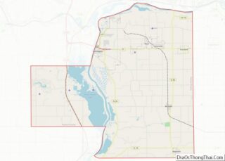
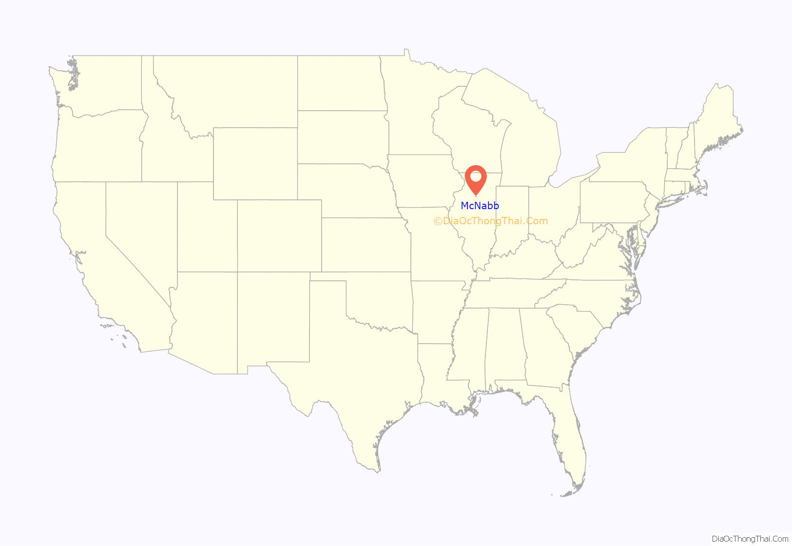
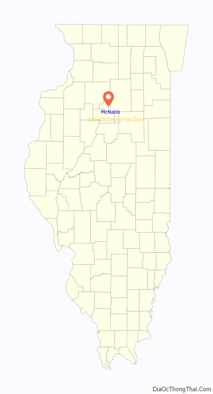
McNabb location map. Where is McNabb village?
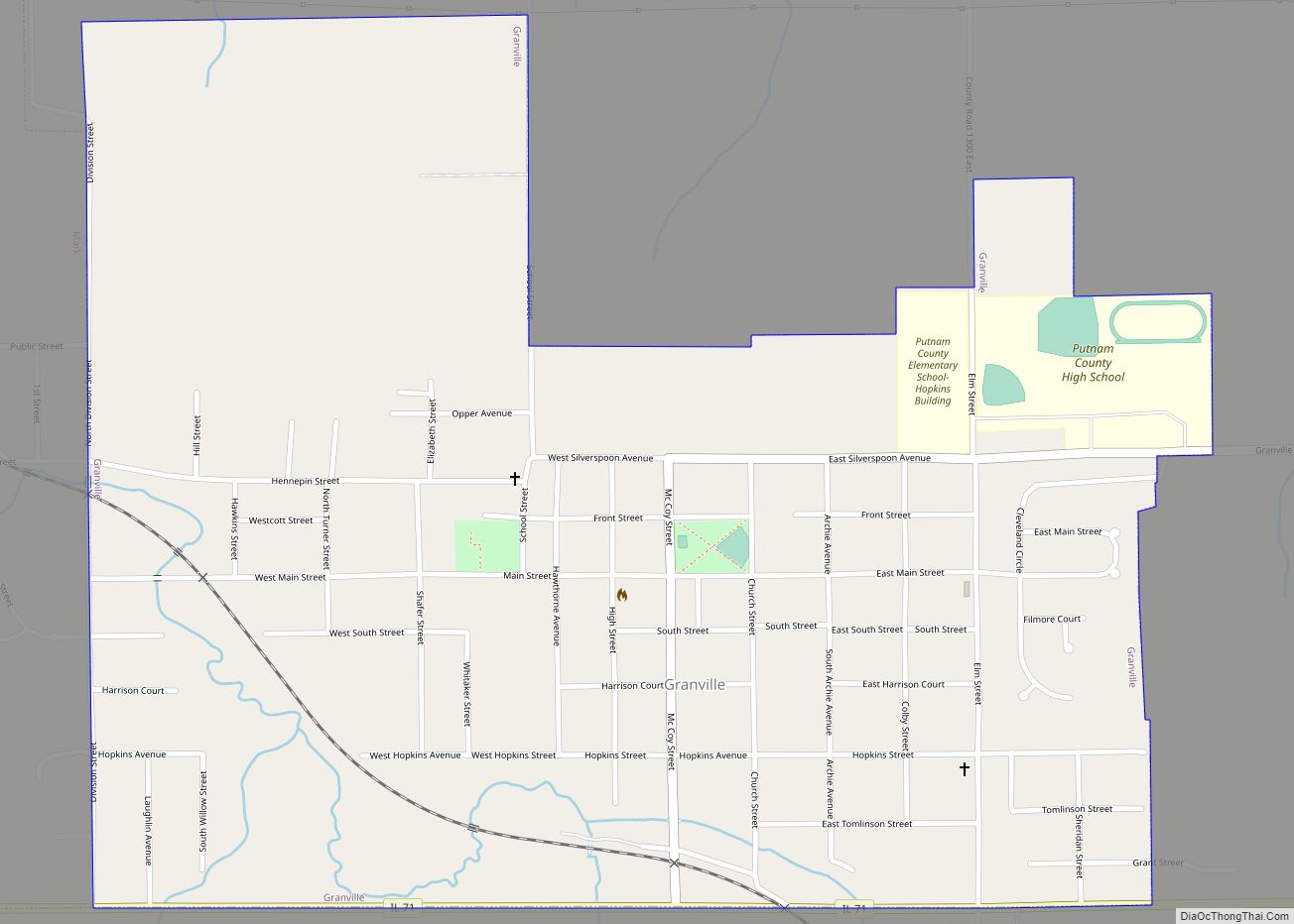
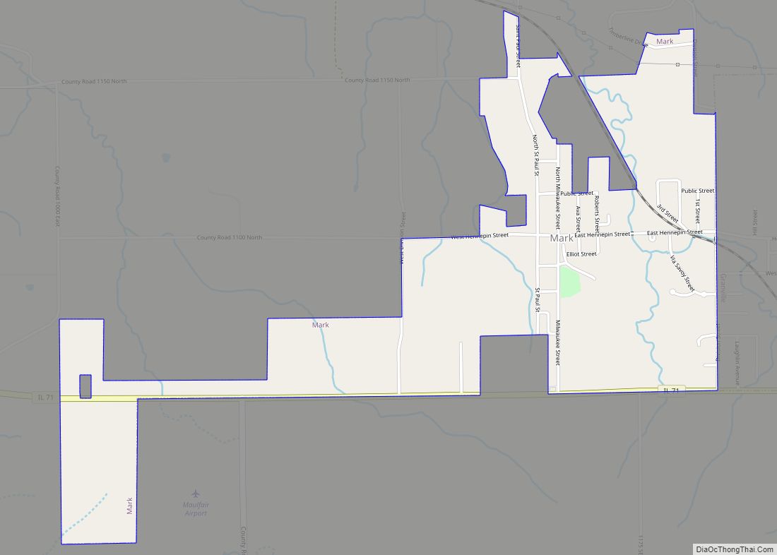
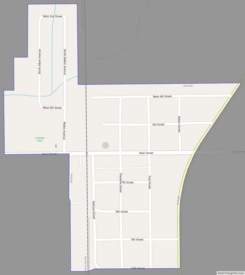
McNabb Road Map
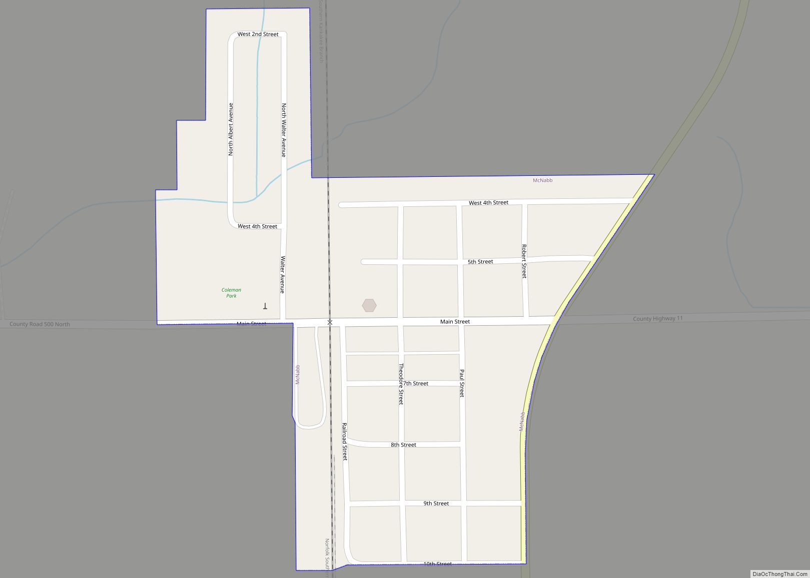
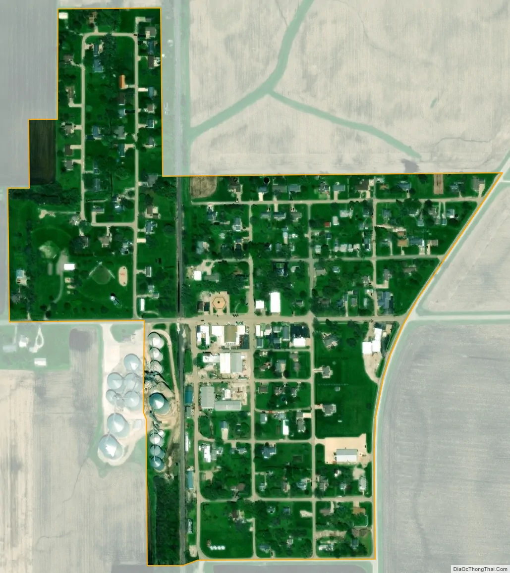
McNabb city Satellite Map
Geography
McNabb is located at 41°10′35″N 89°12′31″W / 41.17639°N 89.20861°W / 41.17639; -89.20861 (41.176355, -89.208522).
According to the 2010 census, McNabb has a total area of 0.2 square miles (0.52 km), all land.
See also
Map of Illinois State and its subdivision:- Adams
- Alexander
- Bond
- Boone
- Brown
- Bureau
- Calhoun
- Carroll
- Cass
- Champaign
- Christian
- Clark
- Clay
- Clinton
- Coles
- Cook
- Crawford
- Cumberland
- De Kalb
- De Witt
- Douglas
- Dupage
- Edgar
- Edwards
- Effingham
- Fayette
- Ford
- Franklin
- Fulton
- Gallatin
- Greene
- Grundy
- Hamilton
- Hancock
- Hardin
- Henderson
- Henry
- Iroquois
- Jackson
- Jasper
- Jefferson
- Jersey
- Jo Daviess
- Johnson
- Kane
- Kankakee
- Kendall
- Knox
- La Salle
- Lake
- Lake Michigan
- Lawrence
- Lee
- Livingston
- Logan
- Macon
- Macoupin
- Madison
- Marion
- Marshall
- Mason
- Massac
- McDonough
- McHenry
- McLean
- Menard
- Mercer
- Monroe
- Montgomery
- Morgan
- Moultrie
- Ogle
- Peoria
- Perry
- Piatt
- Pike
- Pope
- Pulaski
- Putnam
- Randolph
- Richland
- Rock Island
- Saint Clair
- Saline
- Sangamon
- Schuyler
- Scott
- Shelby
- Stark
- Stephenson
- Tazewell
- Union
- Vermilion
- Wabash
- Warren
- Washington
- Wayne
- White
- Whiteside
- Will
- Williamson
- Winnebago
- Woodford
- Alabama
- Alaska
- Arizona
- Arkansas
- California
- Colorado
- Connecticut
- Delaware
- District of Columbia
- Florida
- Georgia
- Hawaii
- Idaho
- Illinois
- Indiana
- Iowa
- Kansas
- Kentucky
- Louisiana
- Maine
- Maryland
- Massachusetts
- Michigan
- Minnesota
- Mississippi
- Missouri
- Montana
- Nebraska
- Nevada
- New Hampshire
- New Jersey
- New Mexico
- New York
- North Carolina
- North Dakota
- Ohio
- Oklahoma
- Oregon
- Pennsylvania
- Rhode Island
- South Carolina
- South Dakota
- Tennessee
- Texas
- Utah
- Vermont
- Virginia
- Washington
- West Virginia
- Wisconsin
- Wyoming