Mendota is a city in LaSalle County, Illinois, United States, in the state’s north-central region. The population was 7,061 at the 2020 census. It is part of the Ottawa, IL Micropolitan Statistical Area. Mendota is located approximately 85 miles west of Chicago, 70 miles east of Moline and 55 miles south of Rockford. The current mayor is David W. Boelk, an independent elected to a four-year term.
The name “Mendota” is derived from a Lakota word meaning “junction of two trails”, which was found appropriate for the city since there was a nearby railroad junction for the Illinois Central Railroad and the Chicago, Burlington and Quincy Railroad.
| Name: | Mendota city |
|---|---|
| LSAD Code: | 25 |
| LSAD Description: | city (suffix) |
| State: | Illinois |
| County: | LaSalle County |
| Incorporated: | 1855 |
| Elevation: | 742 ft (226 m) |
| Total Area: | 5.15 sq mi (13.34 km²) |
| Land Area: | 5.06 sq mi (13.09 km²) |
| Water Area: | 0.10 sq mi (0.25 km²) |
| Total Population: | 7,061 |
| Population Density: | 1,396.56/sq mi (539.25/km²) |
| ZIP code: | 61342 |
| Area code: | 815, 779 |
| FIPS code: | 1748333 |
| GNISfeature ID: | 2395095 |
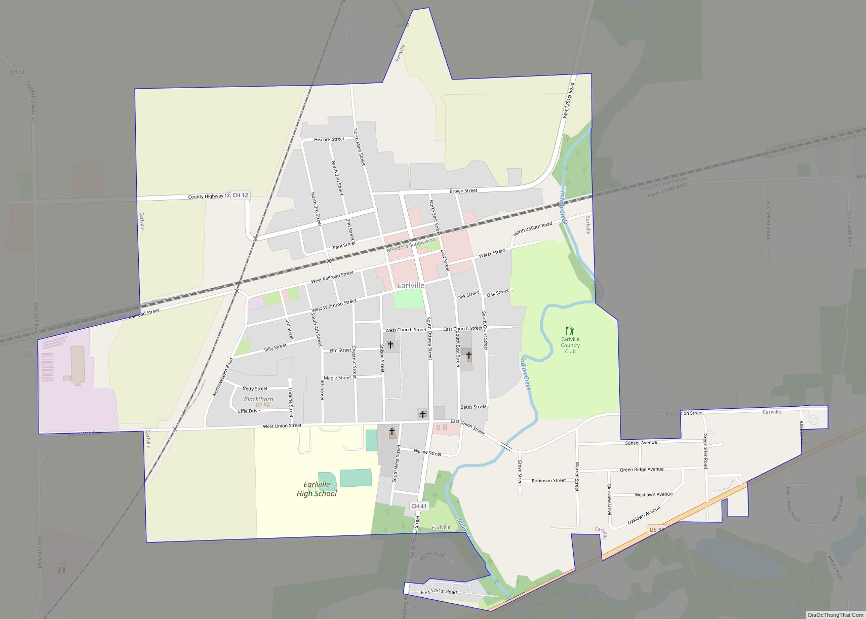
Online Interactive Map
Click on ![]() to view map in "full screen" mode.
to view map in "full screen" mode.
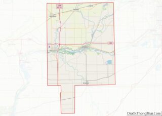
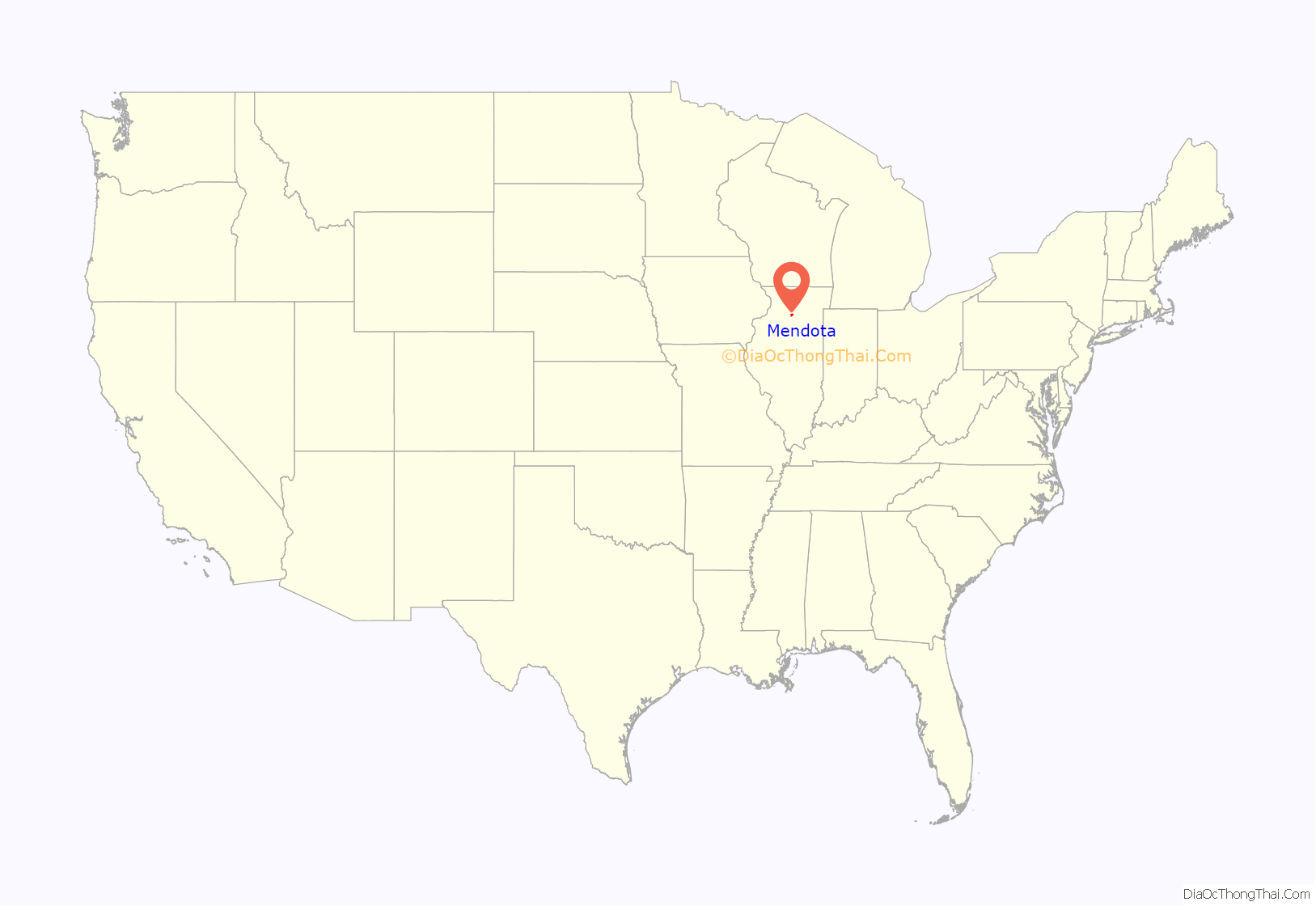
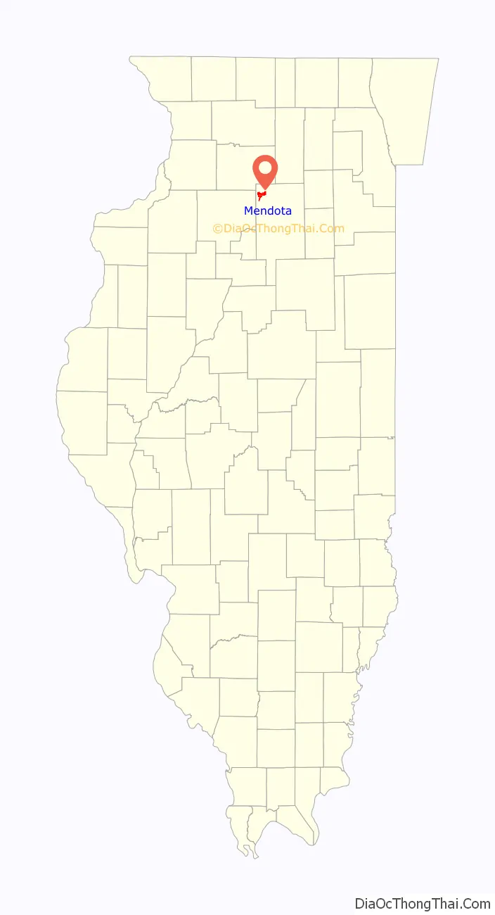
Mendota location map. Where is Mendota city?
History
In summer of 1853, the Illinois Central Railroad was completed and by the fall of that year, the Chicago, Burlington and Quincy Railroad completed a crossing at the present site of Mendota. By the following year, the population had grown to more than 1,000 and the town was home to saloons, hotels, and various shops. The town was incorporated as a village in 1855 and reincorporated as a town in 1859. By 1860, the town was also home to churches of 5 denominations.
With the availability of the railroads to facilitate export, several manufactures of items ranging from organs to cigars and buttons opened factories in Mendota. By the end of the American civil war, the population of the town had more than doubled to over 2,000. By winter of 1866, citizens voted on a referendum to secure a city government. Mendota was incorporated into its current city government on April 9, 1867.
A library was opened on September 8, 1874 with 1700 books secured by donation. It was acquired by the city government in 1894. The original building was replaced in 1905 by a new Carnegie Library.
A new Union station was opened on February 23, 1888 to replace the original depot which had burned down in 1885. The new building contained a hotel, restaurants, and separate waiting areas for passengers and railroad staff. Because of falling revenue and ridership, much of the station was torn down in 1942. The current Mendota station is the only remaining portion of the original structure.
Mendota Road Map
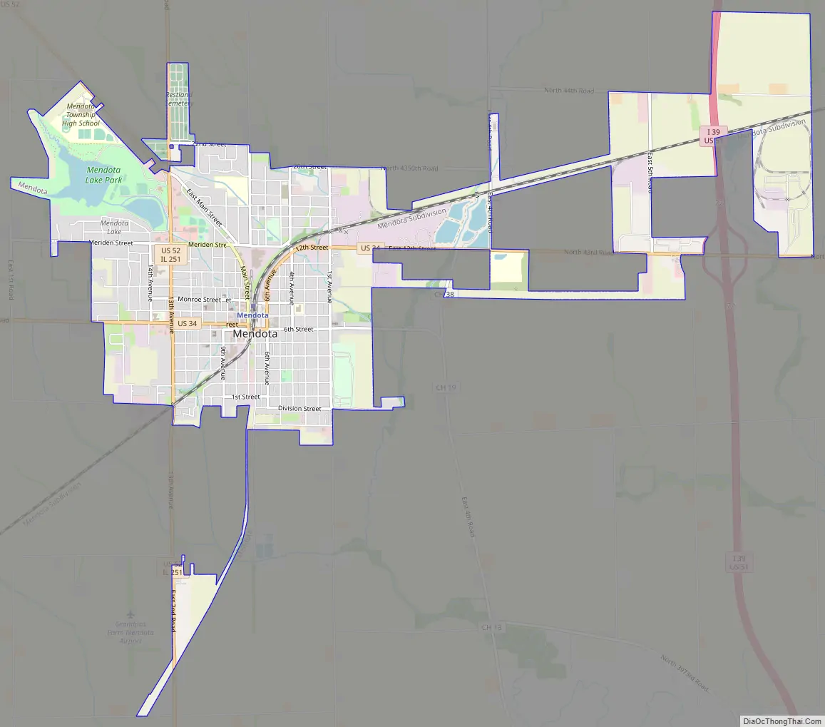
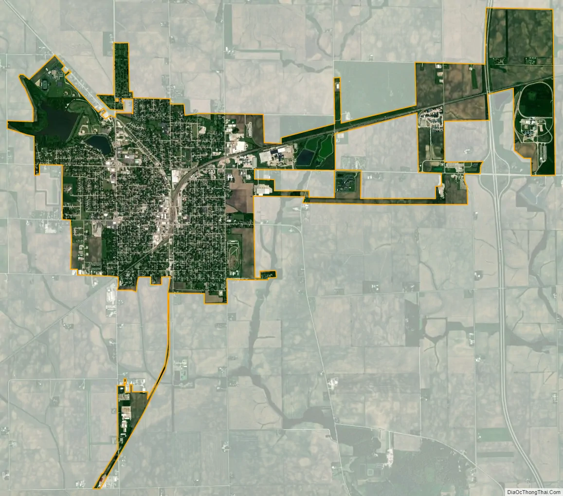
Mendota city Satellite Map
Geography
According to the 2010 census, Mendota has a total area of 5.096 square miles (13.20 km), of which 5 square miles (12.95 km) (or 98.12%) is land and 0.096 square miles (0.25 km) (or 1.88%) is water.
Mendota Creek, a south flowing tributary of the Little Vermilion River, flows through downtown Mendota from its headwaters in the agricultural fields northwest of town. The creek was identified in 2014 as having chronic problems with dissolved oxygen and fecal coliform bacteria concentrations.
See also
Map of Illinois State and its subdivision:- Adams
- Alexander
- Bond
- Boone
- Brown
- Bureau
- Calhoun
- Carroll
- Cass
- Champaign
- Christian
- Clark
- Clay
- Clinton
- Coles
- Cook
- Crawford
- Cumberland
- De Kalb
- De Witt
- Douglas
- Dupage
- Edgar
- Edwards
- Effingham
- Fayette
- Ford
- Franklin
- Fulton
- Gallatin
- Greene
- Grundy
- Hamilton
- Hancock
- Hardin
- Henderson
- Henry
- Iroquois
- Jackson
- Jasper
- Jefferson
- Jersey
- Jo Daviess
- Johnson
- Kane
- Kankakee
- Kendall
- Knox
- La Salle
- Lake
- Lake Michigan
- Lawrence
- Lee
- Livingston
- Logan
- Macon
- Macoupin
- Madison
- Marion
- Marshall
- Mason
- Massac
- McDonough
- McHenry
- McLean
- Menard
- Mercer
- Monroe
- Montgomery
- Morgan
- Moultrie
- Ogle
- Peoria
- Perry
- Piatt
- Pike
- Pope
- Pulaski
- Putnam
- Randolph
- Richland
- Rock Island
- Saint Clair
- Saline
- Sangamon
- Schuyler
- Scott
- Shelby
- Stark
- Stephenson
- Tazewell
- Union
- Vermilion
- Wabash
- Warren
- Washington
- Wayne
- White
- Whiteside
- Will
- Williamson
- Winnebago
- Woodford
- Alabama
- Alaska
- Arizona
- Arkansas
- California
- Colorado
- Connecticut
- Delaware
- District of Columbia
- Florida
- Georgia
- Hawaii
- Idaho
- Illinois
- Indiana
- Iowa
- Kansas
- Kentucky
- Louisiana
- Maine
- Maryland
- Massachusetts
- Michigan
- Minnesota
- Mississippi
- Missouri
- Montana
- Nebraska
- Nevada
- New Hampshire
- New Jersey
- New Mexico
- New York
- North Carolina
- North Dakota
- Ohio
- Oklahoma
- Oregon
- Pennsylvania
- Rhode Island
- South Carolina
- South Dakota
- Tennessee
- Texas
- Utah
- Vermont
- Virginia
- Washington
- West Virginia
- Wisconsin
- Wyoming