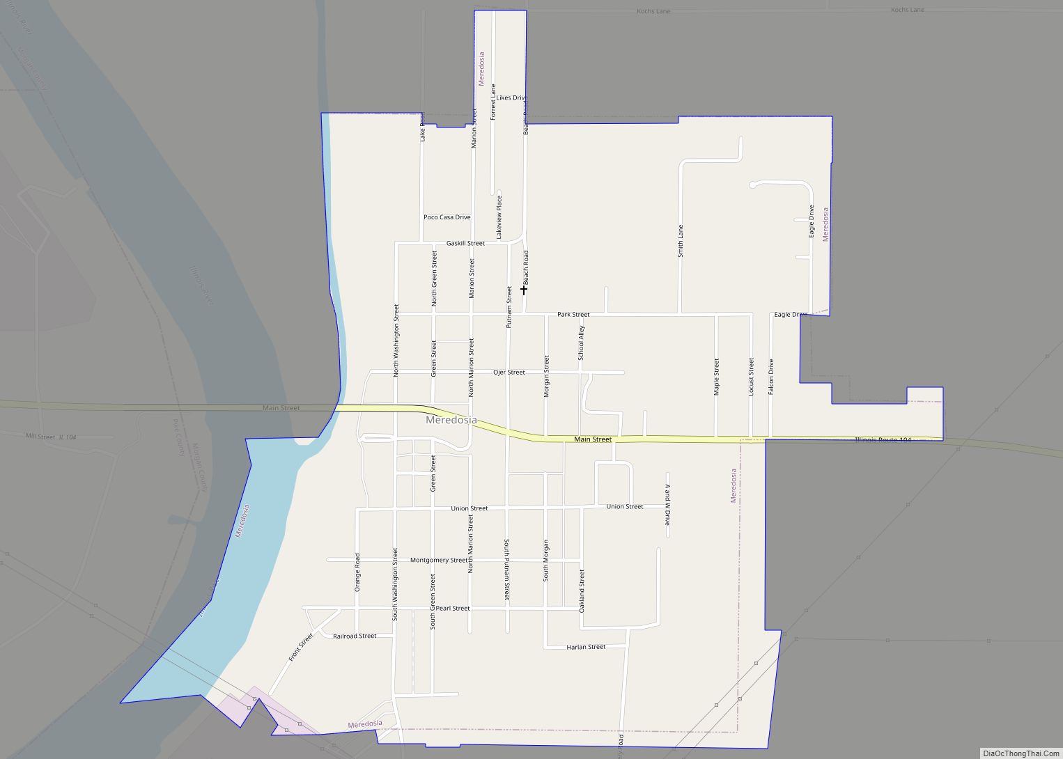
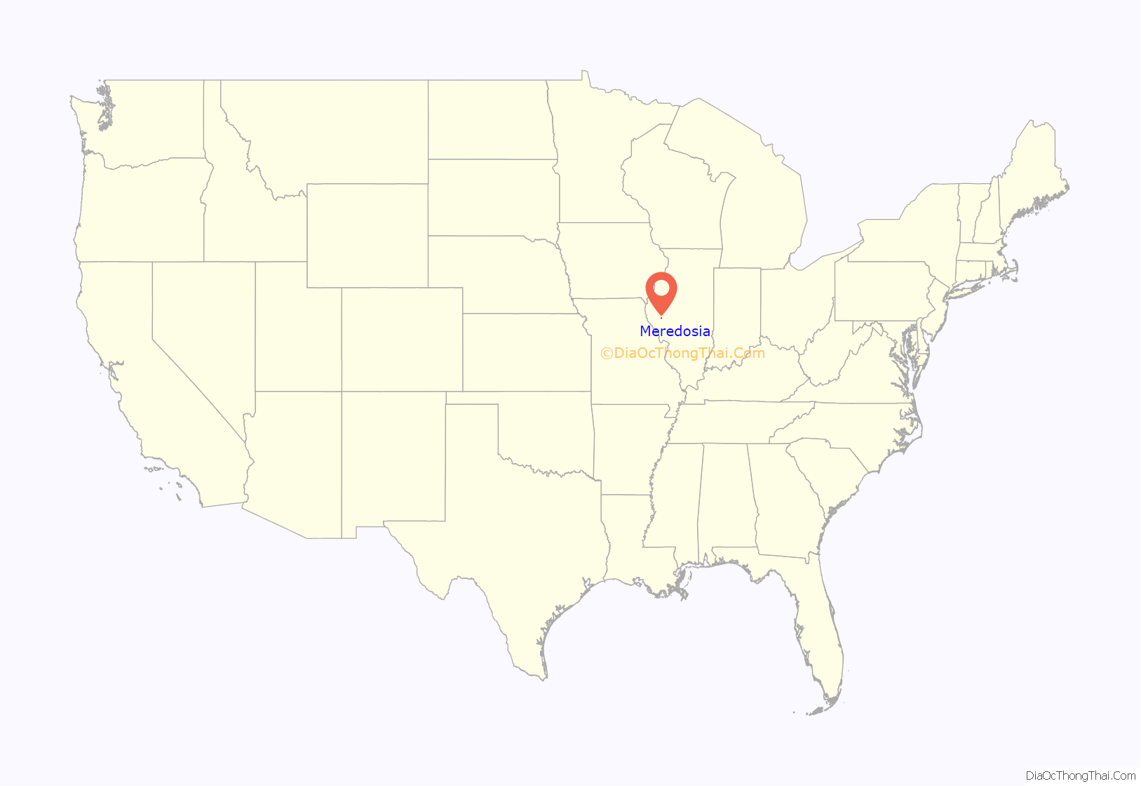
Meredosia is a village in Morgan County, Illinois, United States. The population was 826 at the 2020 census, down from 1,044 in 2010. It is part of the Jacksonville Micropolitan Statistical Area.
| Name: | Meredosia village |
|---|---|
| LSAD Code: | 47 |
| LSAD Description: | village (suffix) |
| State: | Illinois |
| County: | Morgan County |
| Elevation: | 446 ft (136 m) |
| Total Area: | 0.90 sq mi (2.33 km²) |
| Land Area: | 0.86 sq mi (2.24 km²) |
| Water Area: | 0.04 sq mi (0.10 km²) |
| Total Population: | 826 |
| Population Density: | 956.02/sq mi (369.08/km²) |
| ZIP code: | 62665 |
| Area code: | 217 |
| FIPS code: | 1748424 |
| GNISfeature ID: | 2399316 |
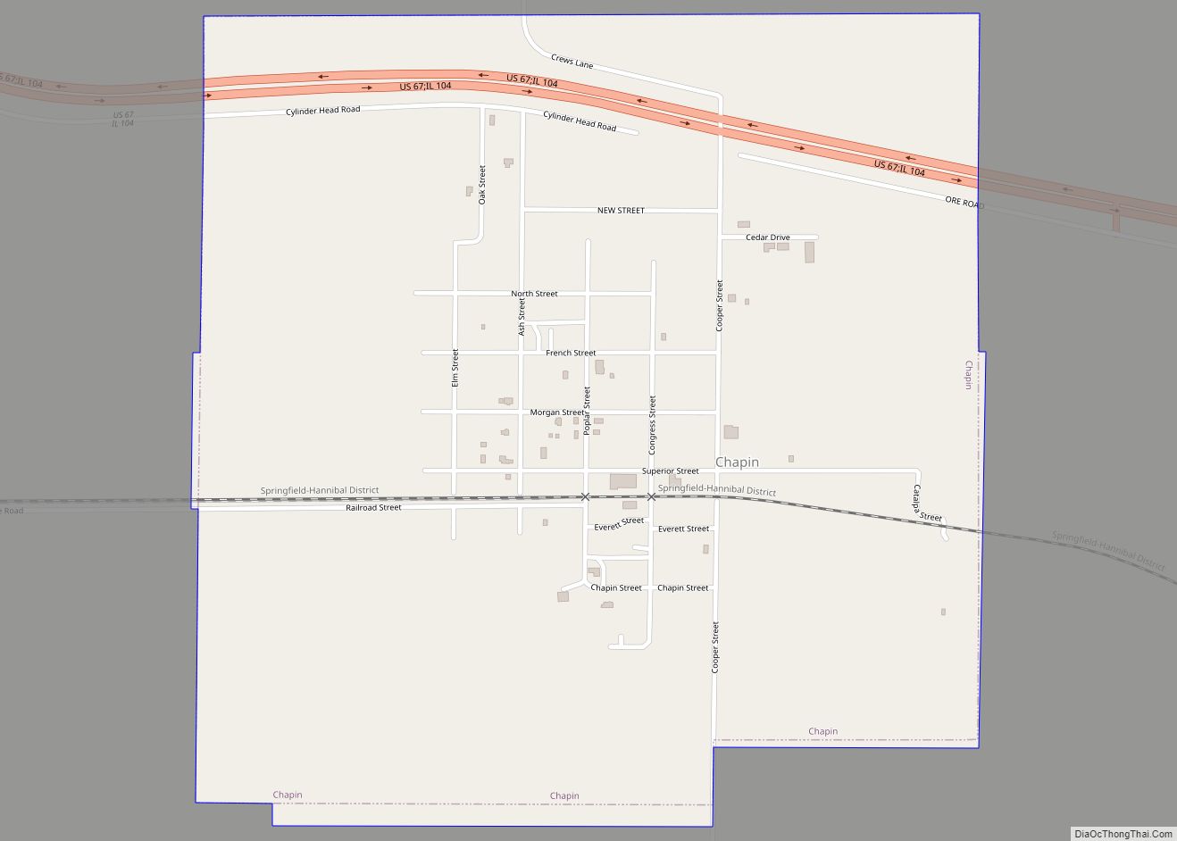
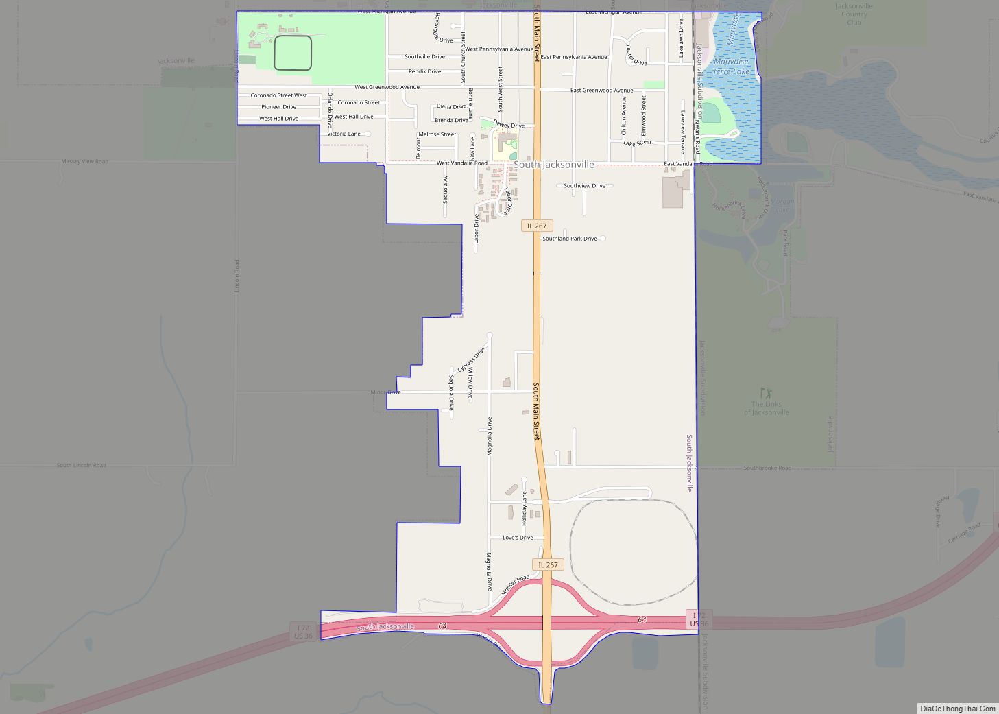
Online Interactive Map
Click on ![]() to view map in "full screen" mode.
to view map in "full screen" mode.
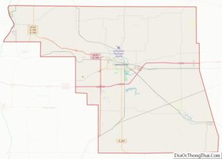
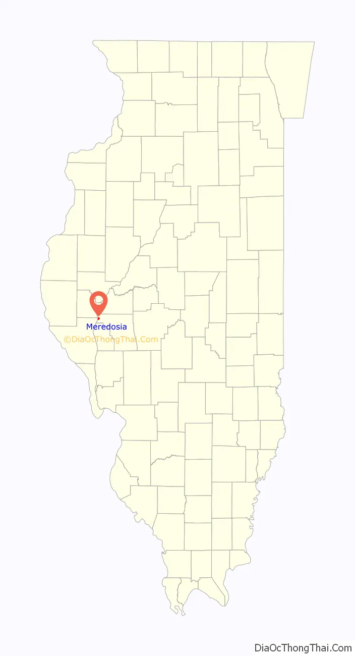
Meredosia location map. Where is Meredosia village?
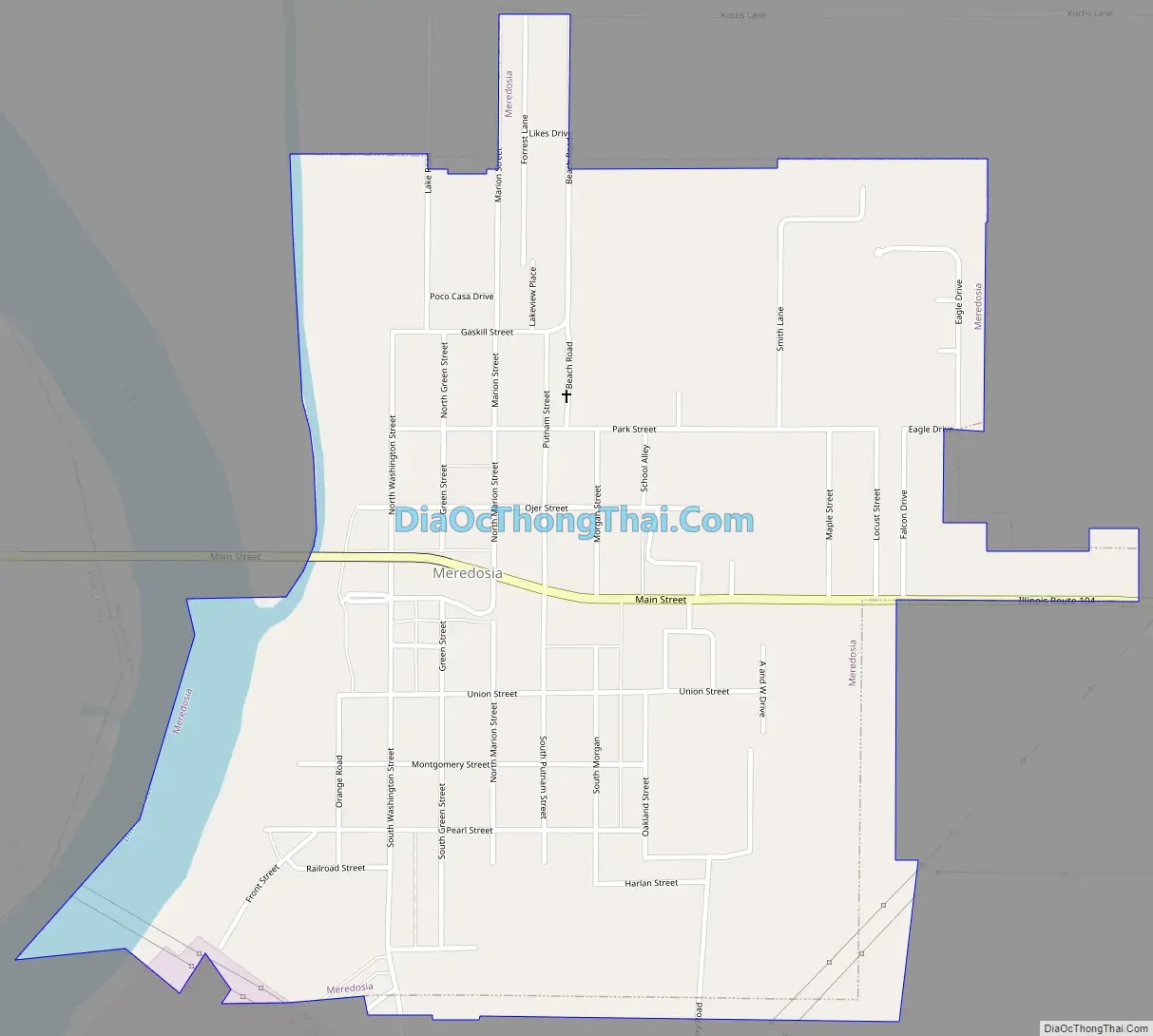
Meredosia Road Map
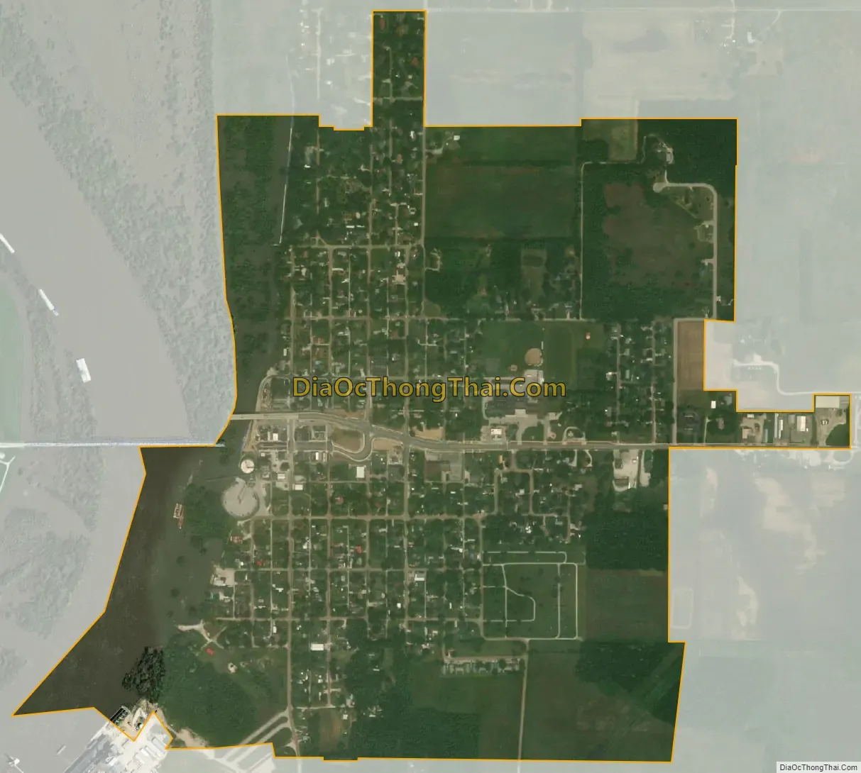
Meredosia city Satellite Map
Geography
Meredosia is in far northwestern Morgan County, on the east bank of the Illinois River, the border with Pike County. Illinois Route 104 passes through the village as its Main Street, leading east and then southeast 21 miles (34 km) to Jacksonville, the county seat, and west across the river and 50 miles (80 km) to Quincy.
According to the U.S. Census Bureau, Meredosia has a total area of 0.90 square miles (2.33 km), of which 0.04 square miles (0.10 km), or 4.11%, are water.
The Meredosia National Wildlife Refuge is directly north of the village, within the Illinois River floodplain.
Marais d’Osier, meaning willow swamp, was the original French name given to the area in the early 1800s.
See also
Map of Illinois State and its subdivision:- Adams
- Alexander
- Bond
- Boone
- Brown
- Bureau
- Calhoun
- Carroll
- Cass
- Champaign
- Christian
- Clark
- Clay
- Clinton
- Coles
- Cook
- Crawford
- Cumberland
- De Kalb
- De Witt
- Douglas
- Dupage
- Edgar
- Edwards
- Effingham
- Fayette
- Ford
- Franklin
- Fulton
- Gallatin
- Greene
- Grundy
- Hamilton
- Hancock
- Hardin
- Henderson
- Henry
- Iroquois
- Jackson
- Jasper
- Jefferson
- Jersey
- Jo Daviess
- Johnson
- Kane
- Kankakee
- Kendall
- Knox
- La Salle
- Lake
- Lake Michigan
- Lawrence
- Lee
- Livingston
- Logan
- Macon
- Macoupin
- Madison
- Marion
- Marshall
- Mason
- Massac
- McDonough
- McHenry
- McLean
- Menard
- Mercer
- Monroe
- Montgomery
- Morgan
- Moultrie
- Ogle
- Peoria
- Perry
- Piatt
- Pike
- Pope
- Pulaski
- Putnam
- Randolph
- Richland
- Rock Island
- Saint Clair
- Saline
- Sangamon
- Schuyler
- Scott
- Shelby
- Stark
- Stephenson
- Tazewell
- Union
- Vermilion
- Wabash
- Warren
- Washington
- Wayne
- White
- Whiteside
- Will
- Williamson
- Winnebago
- Woodford
- Alabama
- Alaska
- Arizona
- Arkansas
- California
- Colorado
- Connecticut
- Delaware
- District of Columbia
- Florida
- Georgia
- Hawaii
- Idaho
- Illinois
- Indiana
- Iowa
- Kansas
- Kentucky
- Louisiana
- Maine
- Maryland
- Massachusetts
- Michigan
- Minnesota
- Mississippi
- Missouri
- Montana
- Nebraska
- Nevada
- New Hampshire
- New Jersey
- New Mexico
- New York
- North Carolina
- North Dakota
- Ohio
- Oklahoma
- Oregon
- Pennsylvania
- Rhode Island
- South Carolina
- South Dakota
- Tennessee
- Texas
- Utah
- Vermont
- Virginia
- Washington
- West Virginia
- Wisconsin
- Wyoming