Mulkeytown is an unincorporated and census-designated place in Franklin County, Illinois, United States. As of the 2010 census it had a population of 175.
| Name: | Mulkeytown CDP |
|---|---|
| LSAD Code: | 57 |
| LSAD Description: | CDP (suffix) |
| State: | Illinois |
| County: | Franklin County |
| Elevation: | 449 ft (137 m) |
| Total Area: | 0.28 sq mi (0.71 km²) |
| Land Area: | 0.28 sq mi (0.71 km²) |
| Water Area: | 0.00 sq mi (0.00 km²) |
| Total Population: | 162 |
| Population Density: | 589.09/sq mi (227.33/km²) |
| ZIP code: | 62865 |
| Area code: | 618 |
| FIPS code: | 1751310 |
| GNISfeature ID: | 414225 |
Online Interactive Map
Click on ![]() to view map in "full screen" mode.
to view map in "full screen" mode.
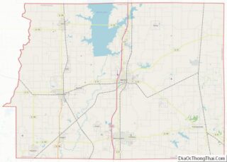
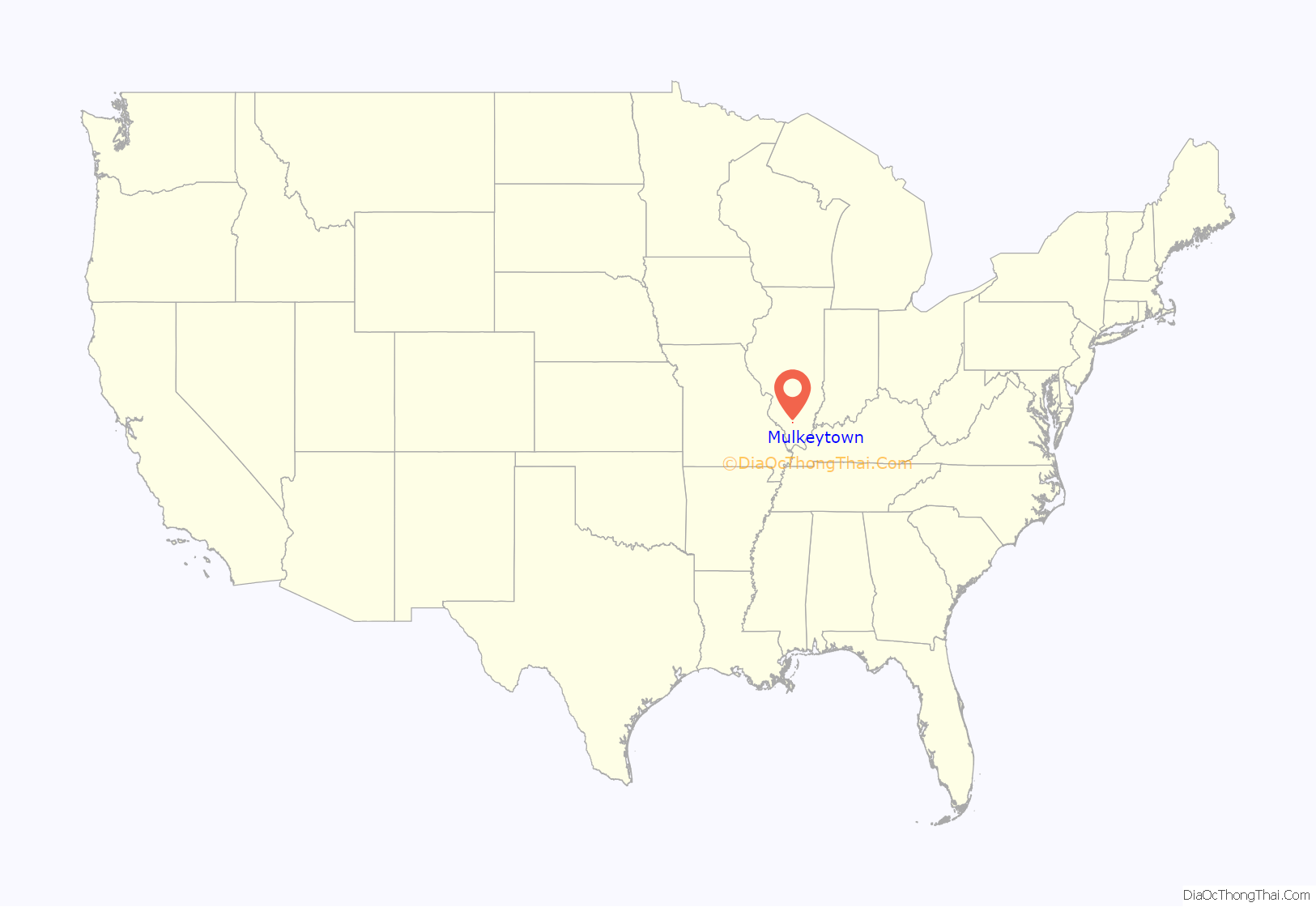
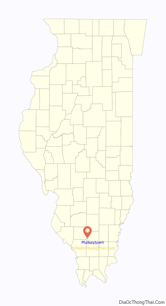
Mulkeytown location map. Where is Mulkeytown CDP?
History
Centennial and sesquicentennial farms
Centennial and sesquicentennial farms are those family farms that have been held within a family for more than 100 or 150 years.
- Davis – 1848
- Greenwood – 1854
- Berner – 1871
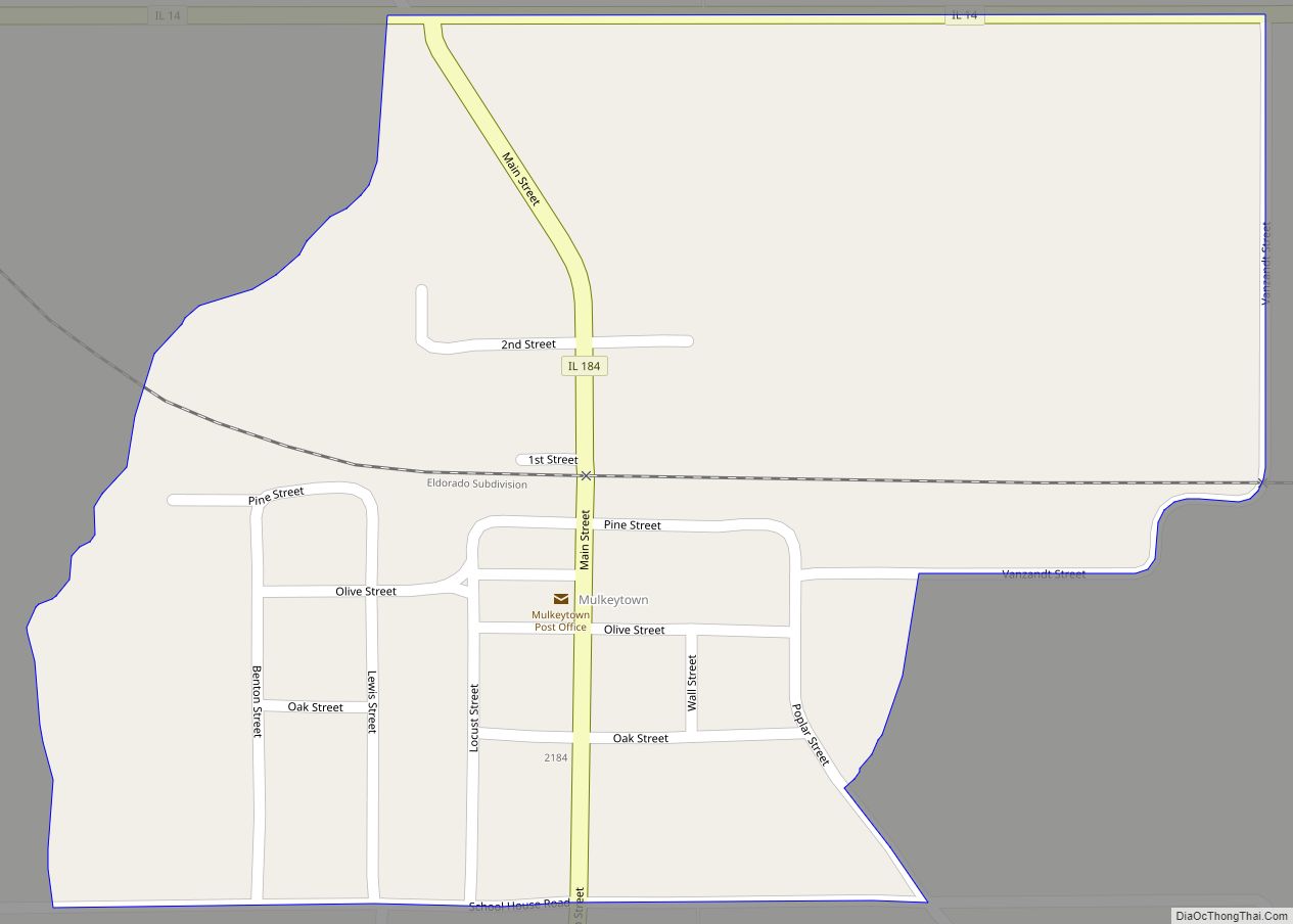
Mulkeytown Road Map
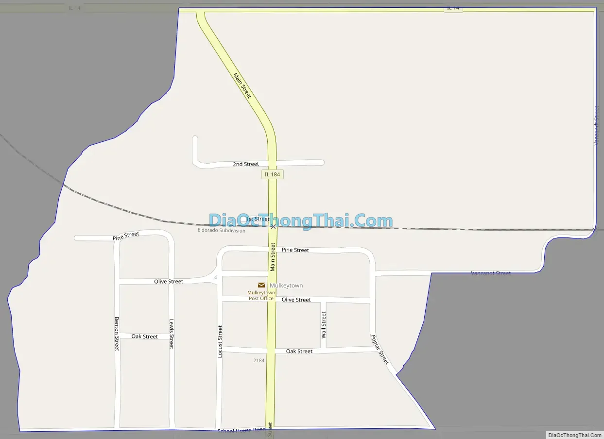
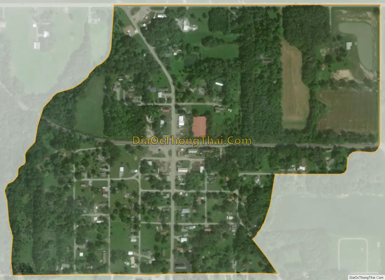
Mulkeytown city Satellite Map
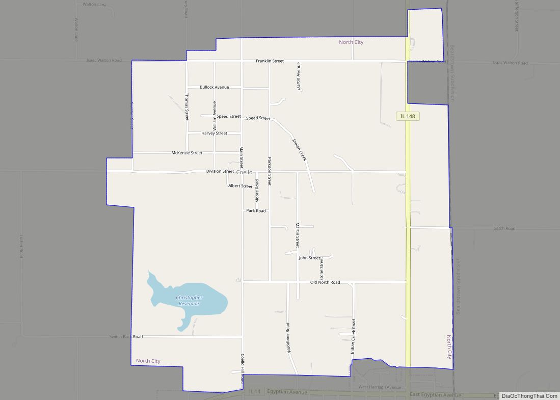
Geography
Mulkeytown is located 309 miles (497 km) south of Chicago (via I-57 south to IL 14 west), and 95 miles (153 km) southeast of St. Louis (via I-64 east to US 51 south to IL 14 east).
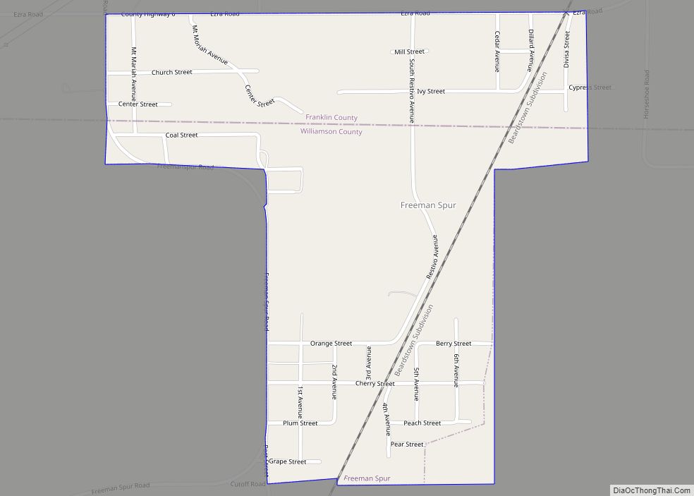
Mulkeytown is located on Illinois Route 184, 3 miles (5 km) west of Christopher, in Tyrone Township, in the west-central portion of Franklin County.
According to the U.S. Census Bureau, the Mulkeytown CDP has a total area of 0.276 square miles (0.714 km), of which 0.423 acres (1,713 m), or 0.24%, is water.
See also
Map of Illinois State and its subdivision:- Adams
- Alexander
- Bond
- Boone
- Brown
- Bureau
- Calhoun
- Carroll
- Cass
- Champaign
- Christian
- Clark
- Clay
- Clinton
- Coles
- Cook
- Crawford
- Cumberland
- De Kalb
- De Witt
- Douglas
- Dupage
- Edgar
- Edwards
- Effingham
- Fayette
- Ford
- Franklin
- Fulton
- Gallatin
- Greene
- Grundy
- Hamilton
- Hancock
- Hardin
- Henderson
- Henry
- Iroquois
- Jackson
- Jasper
- Jefferson
- Jersey
- Jo Daviess
- Johnson
- Kane
- Kankakee
- Kendall
- Knox
- La Salle
- Lake
- Lake Michigan
- Lawrence
- Lee
- Livingston
- Logan
- Macon
- Macoupin
- Madison
- Marion
- Marshall
- Mason
- Massac
- McDonough
- McHenry
- McLean
- Menard
- Mercer
- Monroe
- Montgomery
- Morgan
- Moultrie
- Ogle
- Peoria
- Perry
- Piatt
- Pike
- Pope
- Pulaski
- Putnam
- Randolph
- Richland
- Rock Island
- Saint Clair
- Saline
- Sangamon
- Schuyler
- Scott
- Shelby
- Stark
- Stephenson
- Tazewell
- Union
- Vermilion
- Wabash
- Warren
- Washington
- Wayne
- White
- Whiteside
- Will
- Williamson
- Winnebago
- Woodford
- Alabama
- Alaska
- Arizona
- Arkansas
- California
- Colorado
- Connecticut
- Delaware
- District of Columbia
- Florida
- Georgia
- Hawaii
- Idaho
- Illinois
- Indiana
- Iowa
- Kansas
- Kentucky
- Louisiana
- Maine
- Maryland
- Massachusetts
- Michigan
- Minnesota
- Mississippi
- Missouri
- Montana
- Nebraska
- Nevada
- New Hampshire
- New Jersey
- New Mexico
- New York
- North Carolina
- North Dakota
- Ohio
- Oklahoma
- Oregon
- Pennsylvania
- Rhode Island
- South Carolina
- South Dakota
- Tennessee
- Texas
- Utah
- Vermont
- Virginia
- Washington
- West Virginia
- Wisconsin
- Wyoming