North Aurora is a village in Kane County, Illinois, United States, and a suburb of Aurora. Per the 2020 census, the population was 18,261. North Aurora maintains its own public library district, fire district, and police department, but public spaces and parks are managed by the neighboring Fox Valley Park District.
| Name: | North Aurora village |
|---|---|
| LSAD Code: | 47 |
| LSAD Description: | village (suffix) |
| State: | Illinois |
| County: | Kane County |
| Founded: | 1834 |
| Incorporated: | 1905 |
| Total Area: | 7.81 sq mi (20.22 km²) |
| Land Area: | 7.56 sq mi (19.57 km²) |
| Water Area: | 0.25 sq mi (0.65 km²) |
| Total Population: | 18,261 |
| Population Density: | 2,416.44/sq mi (932.99/km²) |
| ZIP code: | 60542 |
| FIPS code: | 1753442 |
| GNISfeature ID: | 2399508 |
| Website: | www.northaurora.org |
Online Interactive Map
Click on ![]() to view map in "full screen" mode.
to view map in "full screen" mode.
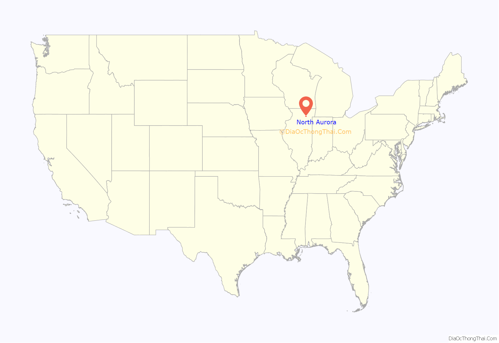
North Aurora location map. Where is North Aurora village?
History
In its early history, North Aurora was known as “Schneider’s Mill” or “Schneider’s Crossing” after John Peter Schneider, a German immigrant who established a mill and dam on the Fox River after moving to the area in 1834. Schneider Elementary School, on the east side of the Fox River, is named after him.
North Aurora was named due to its location north of Aurora, Illinois. The 1880 US Census was the first federal census to use the place-name “Village of North Aurora”. It was formally incorporated in 1905.
North Aurora Road Map
North Aurora city Satellite Map
Geography
North Aurora is located in southeastern Kane County at 41°48′31″N 88°20′31″W / 41.808736°N 88.341981°W / 41.808736; -88.341981 (41.808736, -88.341981). It is bordered to the south and east by the city of Aurora and to the north by the city of Batavia. Interstate 88 runs along the southern boundary of the village, with access from Exits 114 and 117. The highway leads east 23 miles (37 km) to Hillside in the Chicago suburbs and west 117 miles (188 km) to the Quad Cities. Downtown Chicago is 38 miles (61 km) east of North Aurora.
According to the 2010 census, North Aurora has a total area of 7.396 square miles (19.16 km), of which 7.18 square miles (18.60 km) (or 97.08%) are land and 0.216 square miles (0.56 km) (or 2.92%) are water. The Fox River runs north–south through the village.
See also
Map of Illinois State and its subdivision:- Adams
- Alexander
- Bond
- Boone
- Brown
- Bureau
- Calhoun
- Carroll
- Cass
- Champaign
- Christian
- Clark
- Clay
- Clinton
- Coles
- Cook
- Crawford
- Cumberland
- De Kalb
- De Witt
- Douglas
- Dupage
- Edgar
- Edwards
- Effingham
- Fayette
- Ford
- Franklin
- Fulton
- Gallatin
- Greene
- Grundy
- Hamilton
- Hancock
- Hardin
- Henderson
- Henry
- Iroquois
- Jackson
- Jasper
- Jefferson
- Jersey
- Jo Daviess
- Johnson
- Kane
- Kankakee
- Kendall
- Knox
- La Salle
- Lake
- Lake Michigan
- Lawrence
- Lee
- Livingston
- Logan
- Macon
- Macoupin
- Madison
- Marion
- Marshall
- Mason
- Massac
- McDonough
- McHenry
- McLean
- Menard
- Mercer
- Monroe
- Montgomery
- Morgan
- Moultrie
- Ogle
- Peoria
- Perry
- Piatt
- Pike
- Pope
- Pulaski
- Putnam
- Randolph
- Richland
- Rock Island
- Saint Clair
- Saline
- Sangamon
- Schuyler
- Scott
- Shelby
- Stark
- Stephenson
- Tazewell
- Union
- Vermilion
- Wabash
- Warren
- Washington
- Wayne
- White
- Whiteside
- Will
- Williamson
- Winnebago
- Woodford
- Alabama
- Alaska
- Arizona
- Arkansas
- California
- Colorado
- Connecticut
- Delaware
- District of Columbia
- Florida
- Georgia
- Hawaii
- Idaho
- Illinois
- Indiana
- Iowa
- Kansas
- Kentucky
- Louisiana
- Maine
- Maryland
- Massachusetts
- Michigan
- Minnesota
- Mississippi
- Missouri
- Montana
- Nebraska
- Nevada
- New Hampshire
- New Jersey
- New Mexico
- New York
- North Carolina
- North Dakota
- Ohio
- Oklahoma
- Oregon
- Pennsylvania
- Rhode Island
- South Carolina
- South Dakota
- Tennessee
- Texas
- Utah
- Vermont
- Virginia
- Washington
- West Virginia
- Wisconsin
- Wyoming
