Oakland is a city in Coles County, Illinois, United States. The population was 739 at the 2020 census.
| Name: | Oakland city |
|---|---|
| LSAD Code: | 25 |
| LSAD Description: | city (suffix) |
| State: | Illinois |
| County: | Coles County |
| Elevation: | 659 ft (201 m) |
| Total Area: | 0.82 sq mi (2.12 km²) |
| Land Area: | 0.78 sq mi (2.03 km²) |
| Water Area: | 0.04 sq mi (0.09 km²) |
| Total Population: | 739 |
| Population Density: | 943.81/sq mi (364.64/km²) |
| Area code: | 217 |
| FIPS code: | 1754781 |
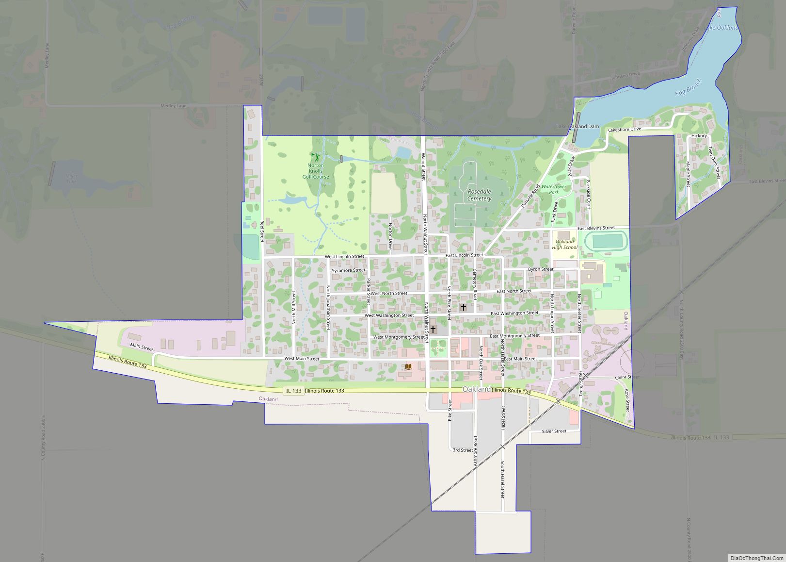
Online Interactive Map
Click on ![]() to view map in "full screen" mode.
to view map in "full screen" mode.
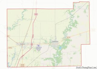
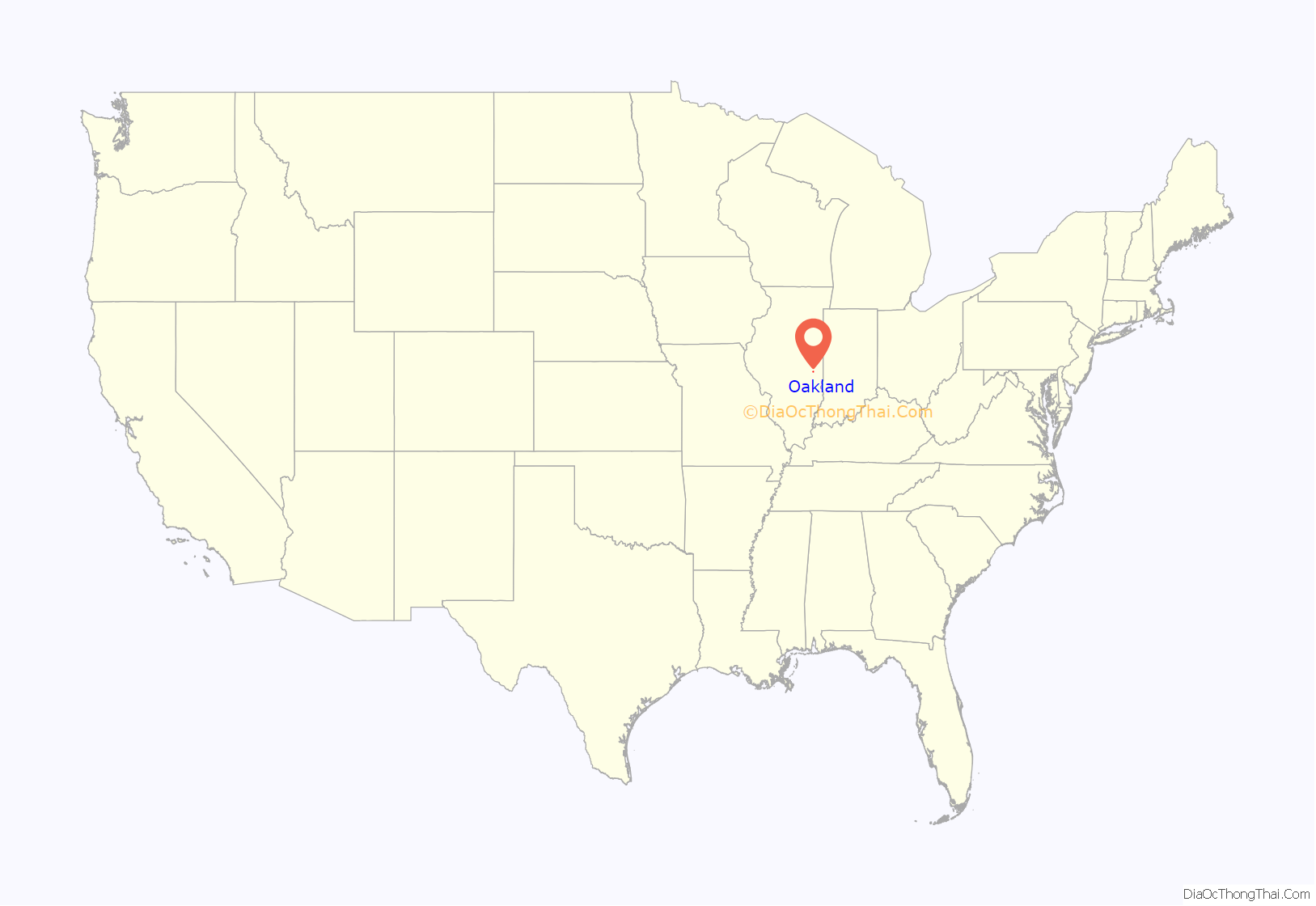
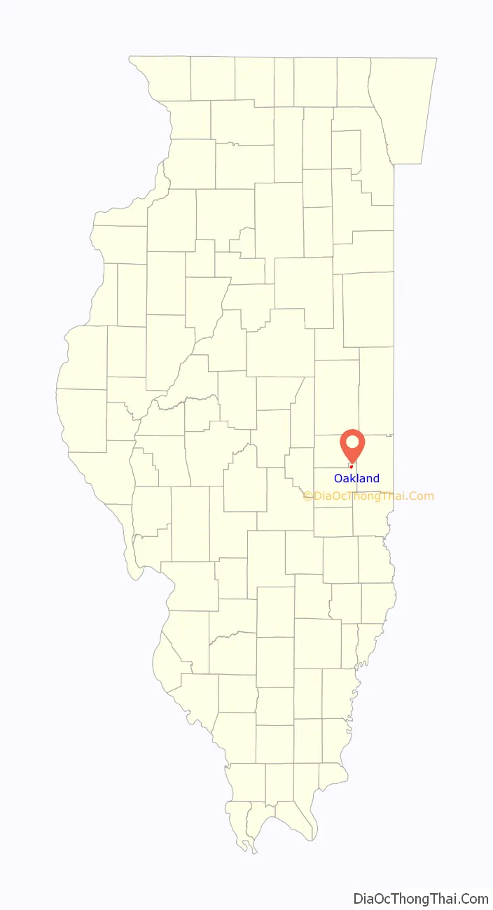
Oakland location map. Where is Oakland city?
History
Oakland, formerly known as Independence, was platted in 1833.
Pioneer doctor and abolitionist Hiram Rutherford moved to Oakland in 1840 to start his practice in the young town. He became a prominent citizen. Rutherford is best known for his involvement in the 1847 Matson Trial, which involved his friend Abraham Lincoln. A Kentucky slave owner, General Robert Matson, annually brought slaves to work on his land near Oakland. One year, a family of slaves ran away from the farm and took refuge with Rutherford and Gideon Ashmore. Matson sued the men for harboring slaves; Rutherford and Ashmore countered that the slaves could not legally be held in a free state. Rutherford attempted to have Lincoln represent him in the case, but Lincoln had already agreed to represent the slave owner. Matson, represented by Lincoln, lost the case in Coles County court.
Rutherford’s home and office, as well as other historic sites, are maintained and available for tours.
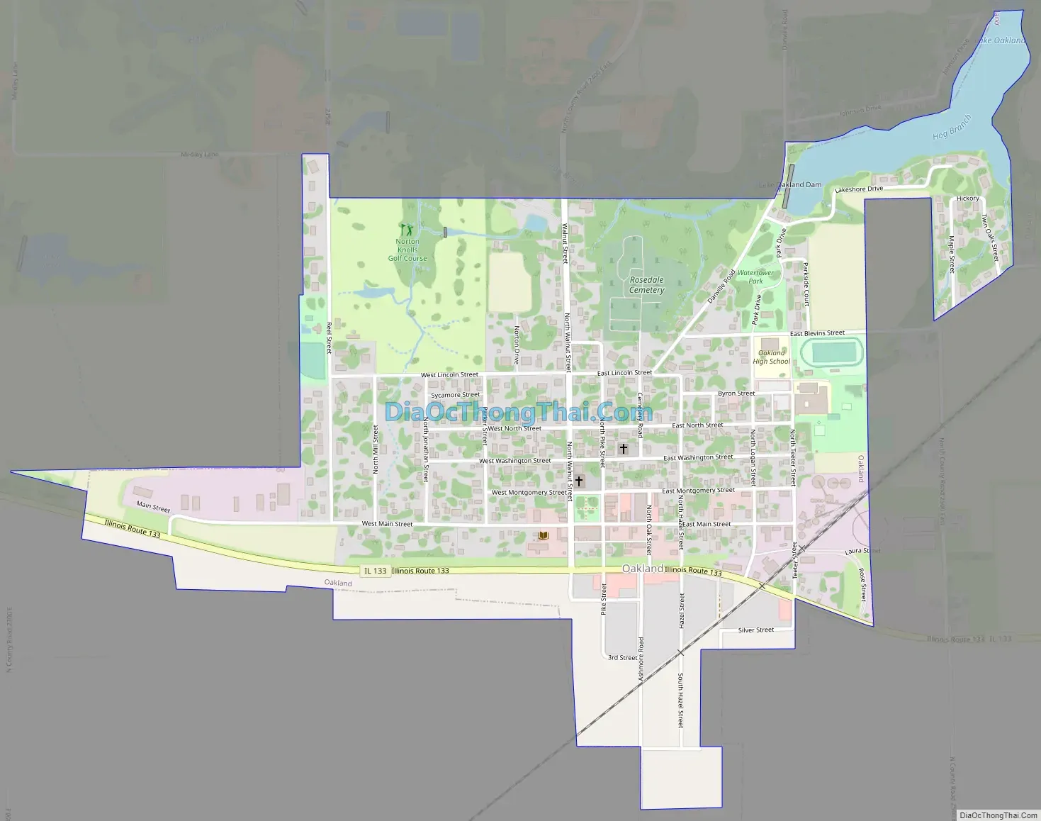
Oakland Road Map
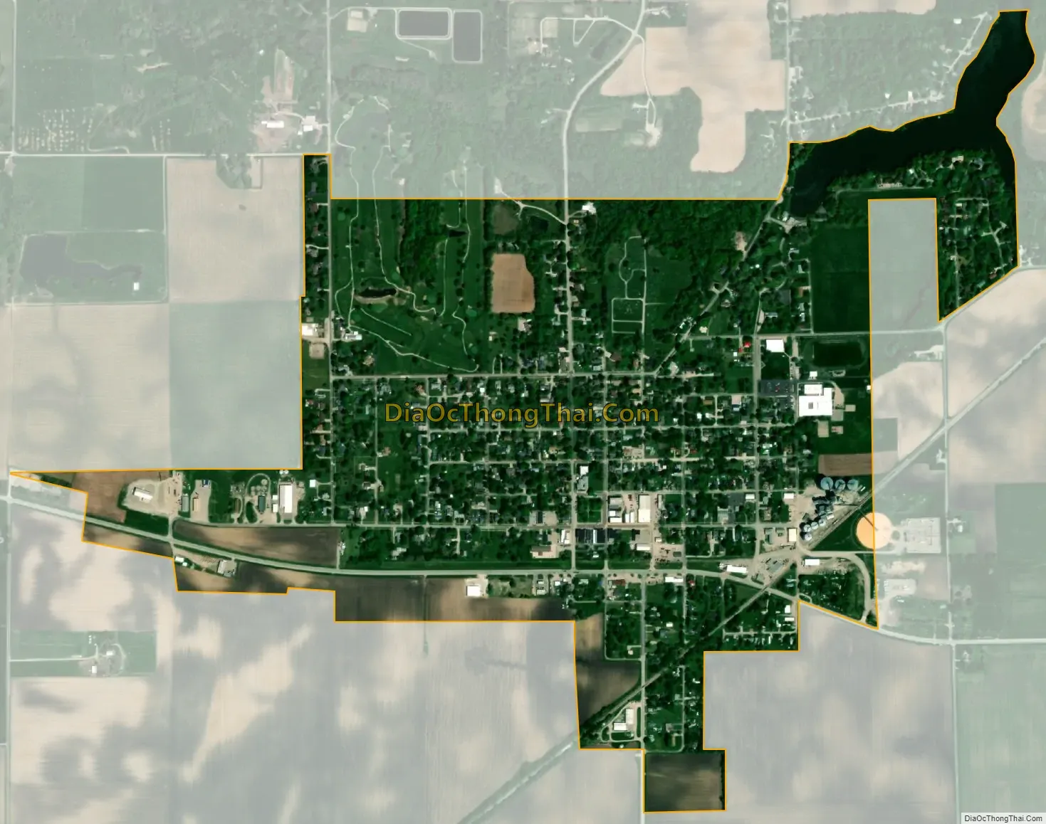
Oakland city Satellite Map
Geography
According to the 2021 census gazetteer files, Oakland has a total area of 0.82 square miles (2.12 km), of which 0.78 square miles (2.02 km) (or 95.60%) is land and 0.04 square miles (0.10 km) (or 4.40%) is water.
See also
Map of Illinois State and its subdivision:- Adams
- Alexander
- Bond
- Boone
- Brown
- Bureau
- Calhoun
- Carroll
- Cass
- Champaign
- Christian
- Clark
- Clay
- Clinton
- Coles
- Cook
- Crawford
- Cumberland
- De Kalb
- De Witt
- Douglas
- Dupage
- Edgar
- Edwards
- Effingham
- Fayette
- Ford
- Franklin
- Fulton
- Gallatin
- Greene
- Grundy
- Hamilton
- Hancock
- Hardin
- Henderson
- Henry
- Iroquois
- Jackson
- Jasper
- Jefferson
- Jersey
- Jo Daviess
- Johnson
- Kane
- Kankakee
- Kendall
- Knox
- La Salle
- Lake
- Lake Michigan
- Lawrence
- Lee
- Livingston
- Logan
- Macon
- Macoupin
- Madison
- Marion
- Marshall
- Mason
- Massac
- McDonough
- McHenry
- McLean
- Menard
- Mercer
- Monroe
- Montgomery
- Morgan
- Moultrie
- Ogle
- Peoria
- Perry
- Piatt
- Pike
- Pope
- Pulaski
- Putnam
- Randolph
- Richland
- Rock Island
- Saint Clair
- Saline
- Sangamon
- Schuyler
- Scott
- Shelby
- Stark
- Stephenson
- Tazewell
- Union
- Vermilion
- Wabash
- Warren
- Washington
- Wayne
- White
- Whiteside
- Will
- Williamson
- Winnebago
- Woodford
- Alabama
- Alaska
- Arizona
- Arkansas
- California
- Colorado
- Connecticut
- Delaware
- District of Columbia
- Florida
- Georgia
- Hawaii
- Idaho
- Illinois
- Indiana
- Iowa
- Kansas
- Kentucky
- Louisiana
- Maine
- Maryland
- Massachusetts
- Michigan
- Minnesota
- Mississippi
- Missouri
- Montana
- Nebraska
- Nevada
- New Hampshire
- New Jersey
- New Mexico
- New York
- North Carolina
- North Dakota
- Ohio
- Oklahoma
- Oregon
- Pennsylvania
- Rhode Island
- South Carolina
- South Dakota
- Tennessee
- Texas
- Utah
- Vermont
- Virginia
- Washington
- West Virginia
- Wisconsin
- Wyoming