Oquawka is a village in Henderson County, Illinois, United States. The population was 1,371 at the 2010 census. It is the county seat of Henderson County.
Oquawka is part of the Burlington, IA–IL Micropolitan Statistical Area.
| Name: | Oquawka village |
|---|---|
| LSAD Code: | 47 |
| LSAD Description: | village (suffix) |
| State: | Illinois |
| County: | Henderson County |
| Elevation: | 551 ft (168 m) |
| Total Area: | 1.86 sq mi (4.82 km²) |
| Land Area: | 1.47 sq mi (3.80 km²) |
| Water Area: | 0.39 sq mi (1.01 km²) |
| Total Population: | 1,134 |
| Population Density: | 771.95/sq mi (298.08/km²) |
| Area code: | 309 |
| FIPS code: | 1756237 |
| GNISfeature ID: | 2399579 |
| Website: | www.oquawkail.com |
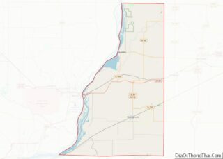
Online Interactive Map
Click on ![]() to view map in "full screen" mode.
to view map in "full screen" mode.
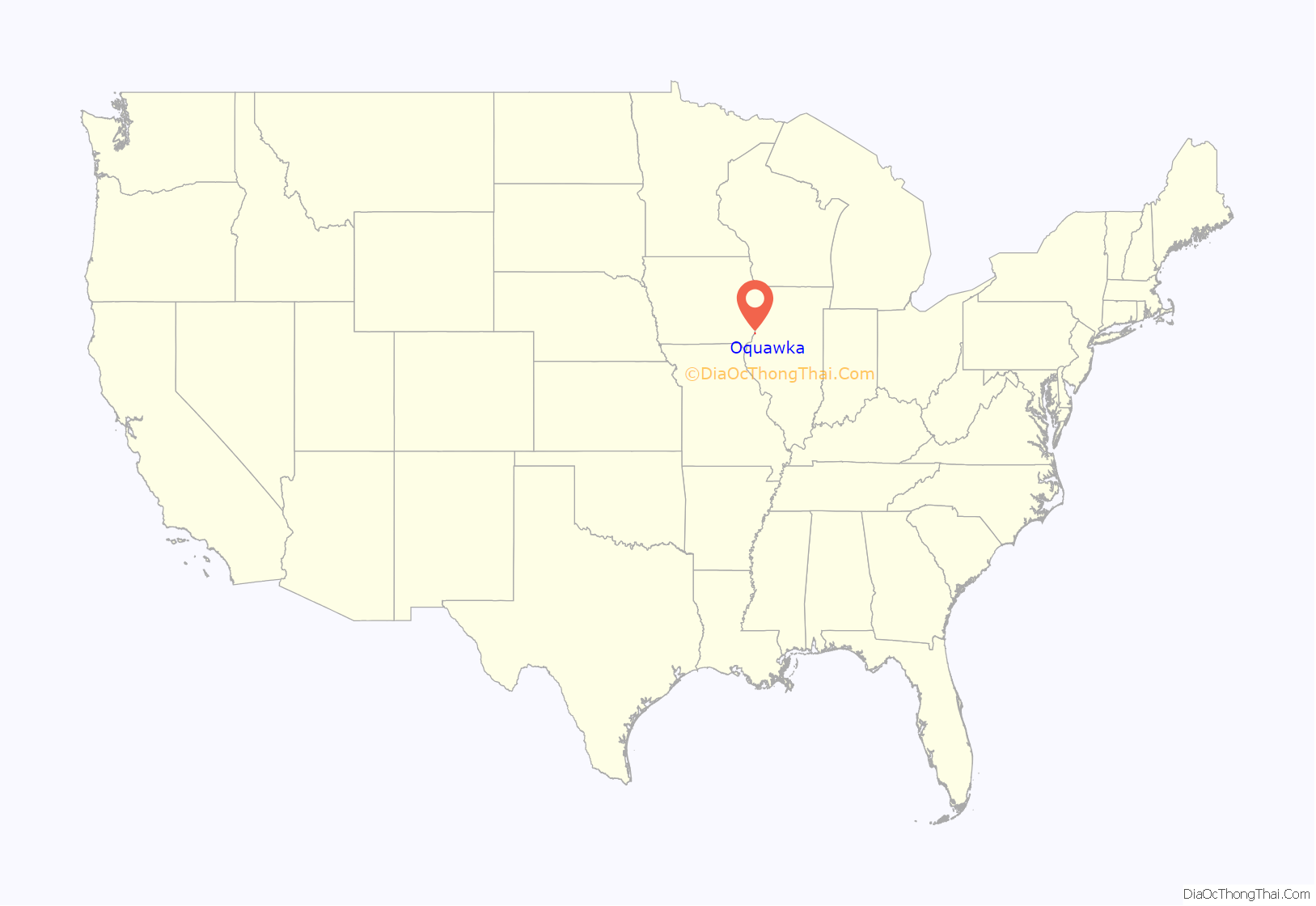
Oquawka location map. Where is Oquawka village?
History
The Sac and Fox tribe once thrived on flatlands that gently fold into the Mississippi River. They called the area Oquawkiek, meaning “yellow banks.” White settlers arrived and kept the peace, thanks to Stephen S. Phelps, the founder of the village of Oquawka, who harbored respect for the native peoples. Phelps would befriend Abraham Lincoln, who was said to spend a lot of time visiting Oquawka. Here, long before his presidency, Lincoln supposedly met Jefferson Davis, then a faithful officer with the U.S. Army. And in 1858, Lincoln made a stump speech here, as did his rival and another Phelps family friend, Stephen Douglas, the first circuit judge in this seat of Henderson County.
That period saw the peak of commerce in Oquawka, as a mill and shipping concern. Civic leaders saw great promise for growth, but — in a familiar story from the 19th century — that went to the wayside when railroads went elsewhere. Still, Oquawka survives well as a village, with 1,539 residents and a half-shuttered downtown that supports locals as well as visiting boaters. In fact, east-west Illinois Route 164 stops in — not at, but in — the river, where the pavement slopes into the waterway to accommodate boat trailers.
Norma Jean
On July 17, 1972, the circus was in town. The main attraction of the Clark & Walter Circus was a 29-year-old elephant named Norma Jean. History records little of her background, except that she was born in the U.S. She was an Asian elephant, which have smaller ears and bodies than the African variety, and weighed 6,500 pounds (2,900 kg).
As nightfall approached, head elephant caretaker “Possum Red” tethered Norma Jean to a tree at the village park in the center of town, using a metal chain to hook her up. Not long after, in rolled storm clouds. A bolt of lightning ripped through the sky and found Norma Jean’s tree — the only one in the park. The voltage fired through the tree, along the metal chain, and into Norma Jean. Possum Red, who was still on the scene, was thrown 30 feet (10 m) by the electrical blast. Norma Jean thudded to the ground, lifeless. Possum Red and the rest of the circus scurried out of town. The following year, without its lone elephant — uninsured and worth the then-princely sum of $10,000 — the circus folded.
Townsfolk used a backhoe to dig a 6-foot (1.8 m) hole, rolled the three-ton-plus pachyderm corpse into the grave and marked it with a plywood sign. After town druggist Wade Meloan had raised enough money to erect a memorial, he and a mason friend rounded up two tons of rock and cemented together a 5 feet (1.5 m) tall wall stretching 12 feet (3.7 m) over the grave. Atop the monument, they secured a concrete elephant statue and ringed the wall with flowers. They affixed a glass case to the wall with newspaper accounts about Norma Jean. The plaque on the wall proclaims:
When they finished they invited hundreds of well-wishers to the dedication. They even rented a baby elephant to carry a wreath in its trunk to lay at the marker. Meloan became something of a sideshow barker for Norma Jean. He printed professional postcards of the memorial, selling them in Oquawka and beyond to drum up tourism. When reporters came calling, he’d gush over the lore of Norma Jean.
John Behnke, a graduate student from Southern Illinois University’s cinema program, filmed a 15-minute documentary on the marker, which later appeared on Showtime. By the mid-1990s, the site averaged two visitors a day. Tourism would get a boost when Oquawka would host a yearly fest to honor Norma Jean, with an elephant walk, white elephant sale and a bake sale featuring elephant ears.
Meloan, Norma Jean’s biggest supporter, died in 2004. Norma Jean has gone from a headline to a footnote. Hardly anyone ever stops by the grave anymore. A few years ago, unknown vandals destroyed the original elephant atop the memorial. The village got a replacement, but locals otherwise no longer pay much notice to the grave.
1993 Flood
During the month of July, The Flood of 1993 turned Oquawka into an island. There was no getting in, and no getting out. Oquawka, which sits above the Mississippi, for the most part stayed dry. The roads didn’t. Due to flash flooding of all the creeks, the town was cut off from the outside world for at least a day and a half.
2008 Flood
On the early morning of June 14, the town of Oquawka, Illinois was evacuated, due to a levee breach along the swollen Iowa River. The city council believed this would affect the flood waters in the already flooding Mississippi River. The same day two levees broke near the town of Keithsburg, Illinois, flooding the entire town.
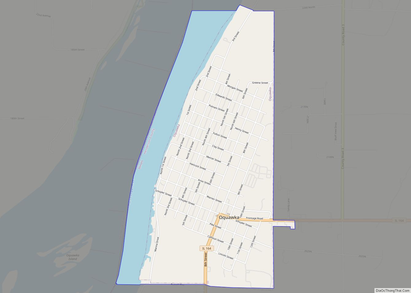
Oquawka Road Map
Oquawka city Satellite Map
Geography
According to the 2010 census, Oquawka has a total area of 1.859 square miles (4.81 km), of which 1.47 square miles (3.81 km) (or 79.07%) is land and 0.389 square miles (1.01 km) (or 20.93%) is water.
See also
Map of Illinois State and its subdivision:- Adams
- Alexander
- Bond
- Boone
- Brown
- Bureau
- Calhoun
- Carroll
- Cass
- Champaign
- Christian
- Clark
- Clay
- Clinton
- Coles
- Cook
- Crawford
- Cumberland
- De Kalb
- De Witt
- Douglas
- Dupage
- Edgar
- Edwards
- Effingham
- Fayette
- Ford
- Franklin
- Fulton
- Gallatin
- Greene
- Grundy
- Hamilton
- Hancock
- Hardin
- Henderson
- Henry
- Iroquois
- Jackson
- Jasper
- Jefferson
- Jersey
- Jo Daviess
- Johnson
- Kane
- Kankakee
- Kendall
- Knox
- La Salle
- Lake
- Lake Michigan
- Lawrence
- Lee
- Livingston
- Logan
- Macon
- Macoupin
- Madison
- Marion
- Marshall
- Mason
- Massac
- McDonough
- McHenry
- McLean
- Menard
- Mercer
- Monroe
- Montgomery
- Morgan
- Moultrie
- Ogle
- Peoria
- Perry
- Piatt
- Pike
- Pope
- Pulaski
- Putnam
- Randolph
- Richland
- Rock Island
- Saint Clair
- Saline
- Sangamon
- Schuyler
- Scott
- Shelby
- Stark
- Stephenson
- Tazewell
- Union
- Vermilion
- Wabash
- Warren
- Washington
- Wayne
- White
- Whiteside
- Will
- Williamson
- Winnebago
- Woodford
- Alabama
- Alaska
- Arizona
- Arkansas
- California
- Colorado
- Connecticut
- Delaware
- District of Columbia
- Florida
- Georgia
- Hawaii
- Idaho
- Illinois
- Indiana
- Iowa
- Kansas
- Kentucky
- Louisiana
- Maine
- Maryland
- Massachusetts
- Michigan
- Minnesota
- Mississippi
- Missouri
- Montana
- Nebraska
- Nevada
- New Hampshire
- New Jersey
- New Mexico
- New York
- North Carolina
- North Dakota
- Ohio
- Oklahoma
- Oregon
- Pennsylvania
- Rhode Island
- South Carolina
- South Dakota
- Tennessee
- Texas
- Utah
- Vermont
- Virginia
- Washington
- West Virginia
- Wisconsin
- Wyoming
