Pocahontas is a village in Bond County, Illinois, United States. The population was 697 at the 2020 census.
| Name: | Pocahontas village |
|---|---|
| LSAD Code: | 47 |
| LSAD Description: | village (suffix) |
| State: | Illinois |
| County: | Bond County |
| Elevation: | 528 ft (161 m) |
| Total Area: | 0.80 sq mi (2.08 km²) |
| Land Area: | 0.78 sq mi (2.03 km²) |
| Water Area: | 0.02 sq mi (0.06 km²) |
| Total Population: | 697 |
| Population Density: | 890.17/sq mi (343.60/km²) |
| Area code: | 618 |
| FIPS code: | 1760872 |
| GNISfeature ID: | 2398991 |
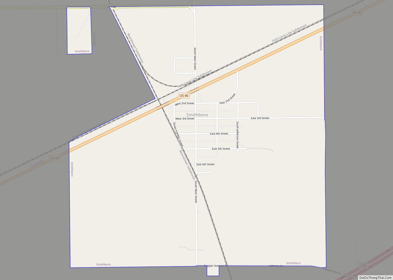
Online Interactive Map
Click on ![]() to view map in "full screen" mode.
to view map in "full screen" mode.
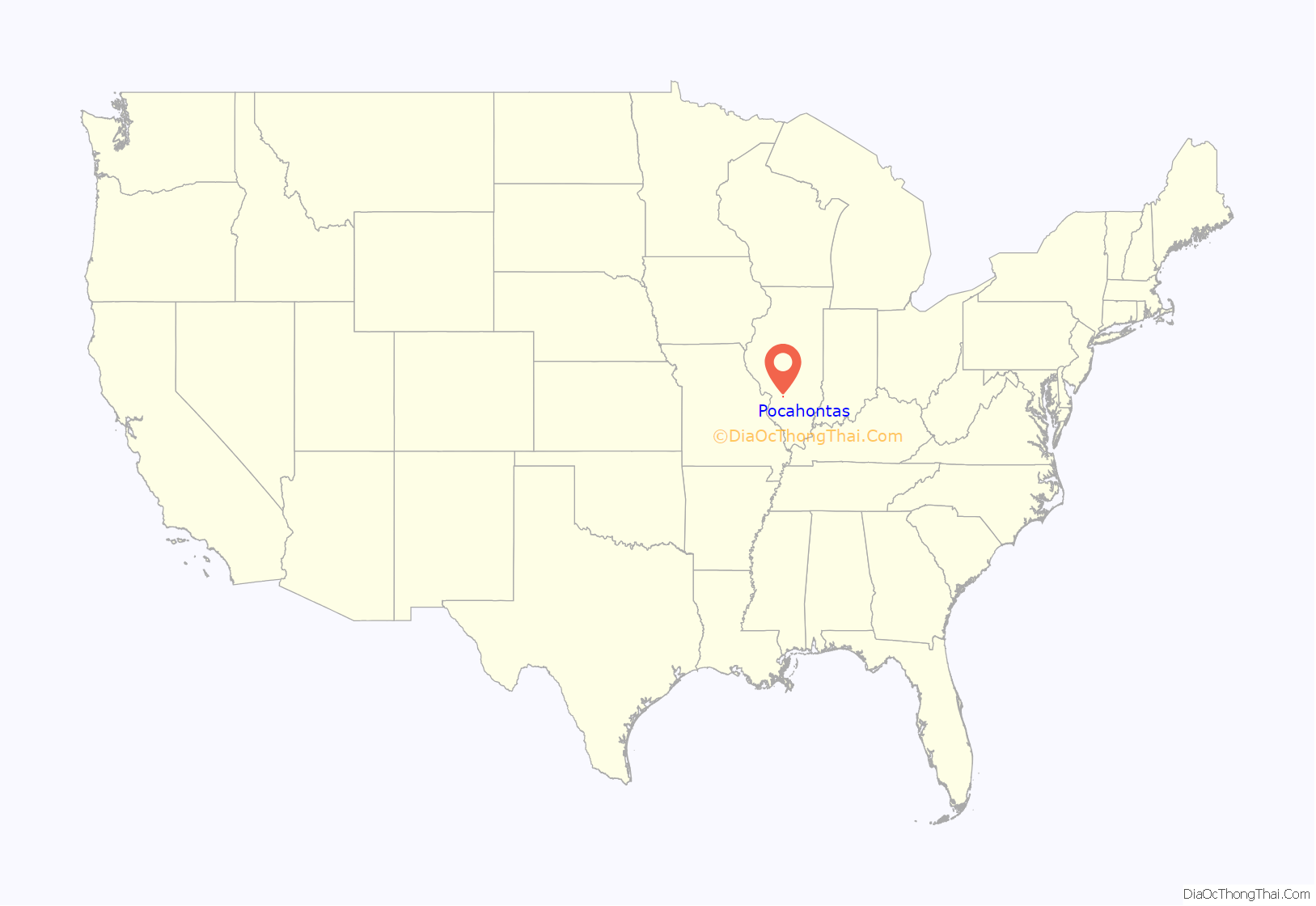
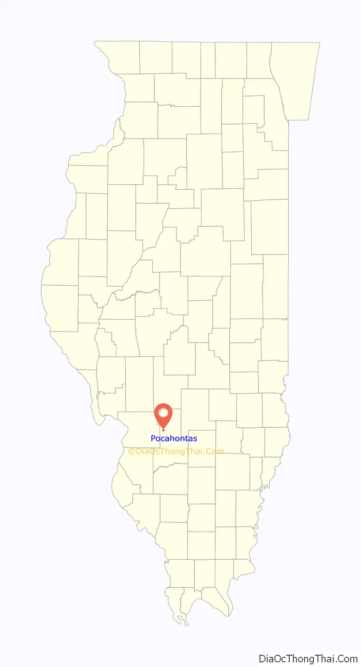
Pocahontas location map. Where is Pocahontas village?
History
Pocahontas was originally known as Hickory Grove and then Amity. In 1850, the name was changed to Pocohontas (with an “o”). In 1855, the current spelling with an “a” came into place. Pocahontas was incorporated as a village in 1847. The town was named after Pocahontas Coal.
Pocahontas Road Map
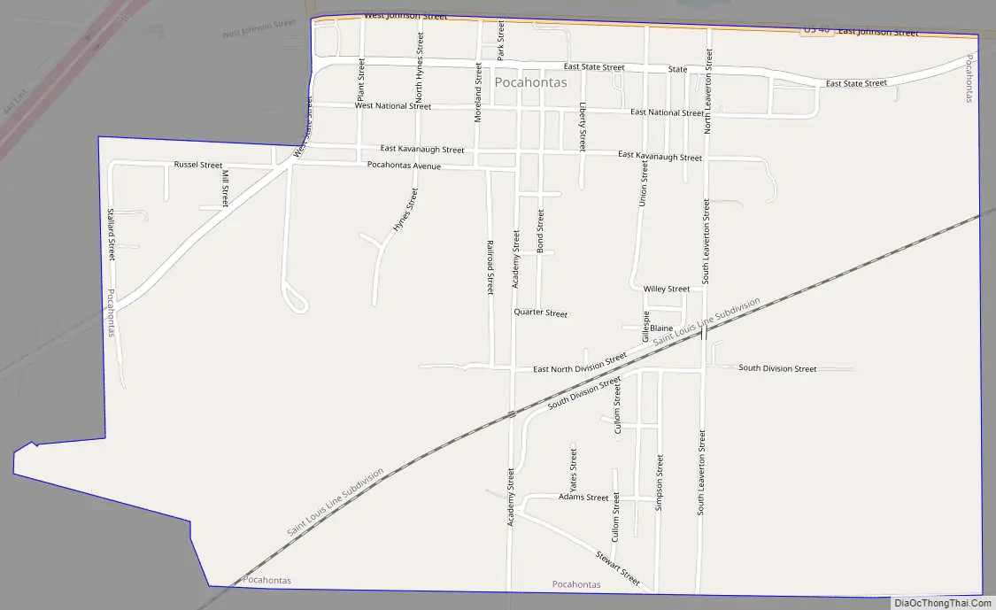
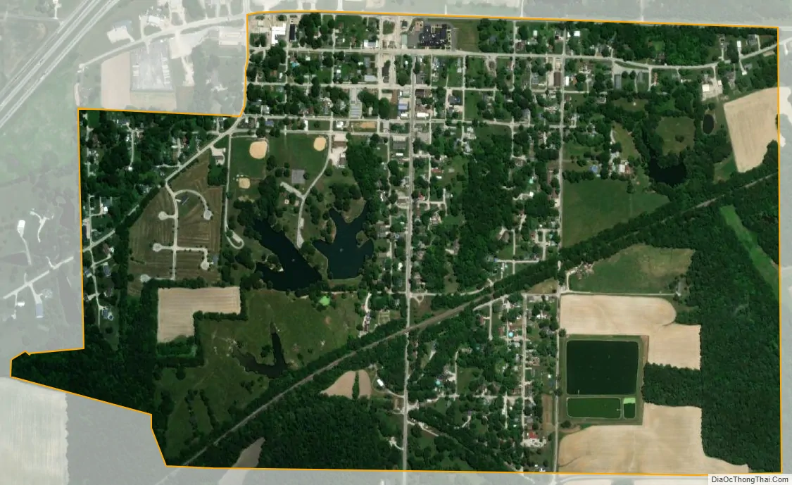
Pocahontas city Satellite Map
Geography
According to the 2021 census gazetteer files, Pocahontas has a total area of 0.80 square miles (2.07 km), of which 0.78 square miles (2.02 km) (or 97.39%) is land and 0.02 square miles (0.05 km) (or 2.61%) is water.
See also
Map of Illinois State and its subdivision:- Adams
- Alexander
- Bond
- Boone
- Brown
- Bureau
- Calhoun
- Carroll
- Cass
- Champaign
- Christian
- Clark
- Clay
- Clinton
- Coles
- Cook
- Crawford
- Cumberland
- De Kalb
- De Witt
- Douglas
- Dupage
- Edgar
- Edwards
- Effingham
- Fayette
- Ford
- Franklin
- Fulton
- Gallatin
- Greene
- Grundy
- Hamilton
- Hancock
- Hardin
- Henderson
- Henry
- Iroquois
- Jackson
- Jasper
- Jefferson
- Jersey
- Jo Daviess
- Johnson
- Kane
- Kankakee
- Kendall
- Knox
- La Salle
- Lake
- Lake Michigan
- Lawrence
- Lee
- Livingston
- Logan
- Macon
- Macoupin
- Madison
- Marion
- Marshall
- Mason
- Massac
- McDonough
- McHenry
- McLean
- Menard
- Mercer
- Monroe
- Montgomery
- Morgan
- Moultrie
- Ogle
- Peoria
- Perry
- Piatt
- Pike
- Pope
- Pulaski
- Putnam
- Randolph
- Richland
- Rock Island
- Saint Clair
- Saline
- Sangamon
- Schuyler
- Scott
- Shelby
- Stark
- Stephenson
- Tazewell
- Union
- Vermilion
- Wabash
- Warren
- Washington
- Wayne
- White
- Whiteside
- Will
- Williamson
- Winnebago
- Woodford
- Alabama
- Alaska
- Arizona
- Arkansas
- California
- Colorado
- Connecticut
- Delaware
- District of Columbia
- Florida
- Georgia
- Hawaii
- Idaho
- Illinois
- Indiana
- Iowa
- Kansas
- Kentucky
- Louisiana
- Maine
- Maryland
- Massachusetts
- Michigan
- Minnesota
- Mississippi
- Missouri
- Montana
- Nebraska
- Nevada
- New Hampshire
- New Jersey
- New Mexico
- New York
- North Carolina
- North Dakota
- Ohio
- Oklahoma
- Oregon
- Pennsylvania
- Rhode Island
- South Carolina
- South Dakota
- Tennessee
- Texas
- Utah
- Vermont
- Virginia
- Washington
- West Virginia
- Wisconsin
- Wyoming