Prophetstown is a city in Whiteside County, Illinois, United States. The population was 2,080 at the 2010 census, up from 2,023 in 2000.
| Name: | Prophetstown city |
|---|---|
| LSAD Code: | 25 |
| LSAD Description: | city (suffix) |
| State: | Illinois |
| County: | Whiteside County |
| Total Area: | 1.37 sq mi (3.54 km²) |
| Land Area: | 1.34 sq mi (3.47 km²) |
| Water Area: | 0.03 sq mi (0.07 km²) |
| Total Population: | 1,946 |
| Population Density: | 1,453.32/sq mi (561.11/km²) |
| Area code: | 815 |
| FIPS code: | 1761977 |
| Website: | prophetstownil.org |
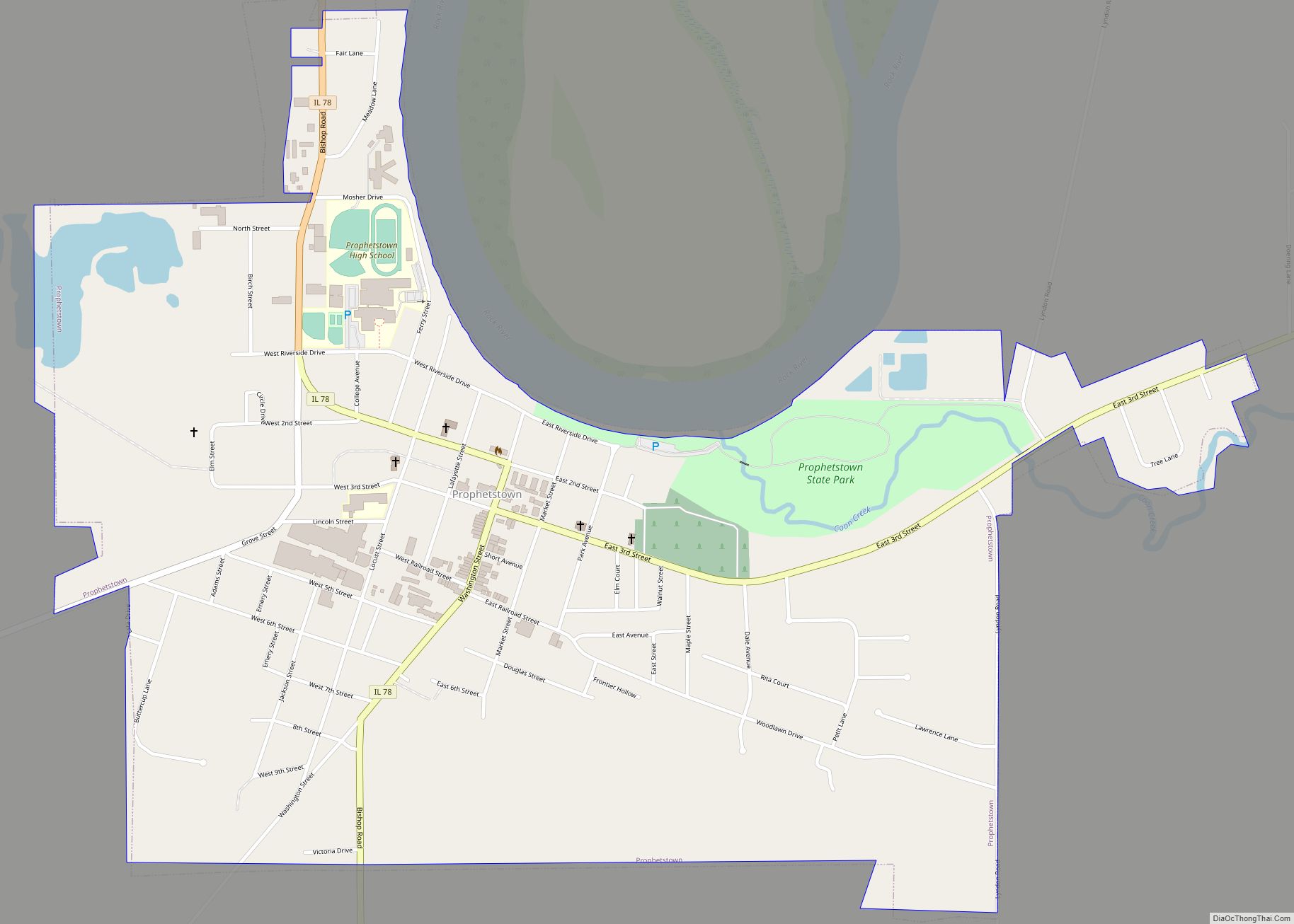
Online Interactive Map
Click on ![]() to view map in "full screen" mode.
to view map in "full screen" mode.
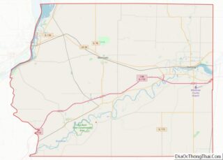
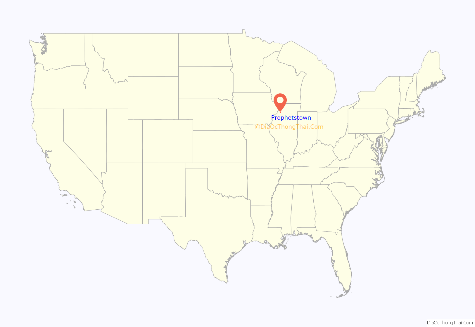
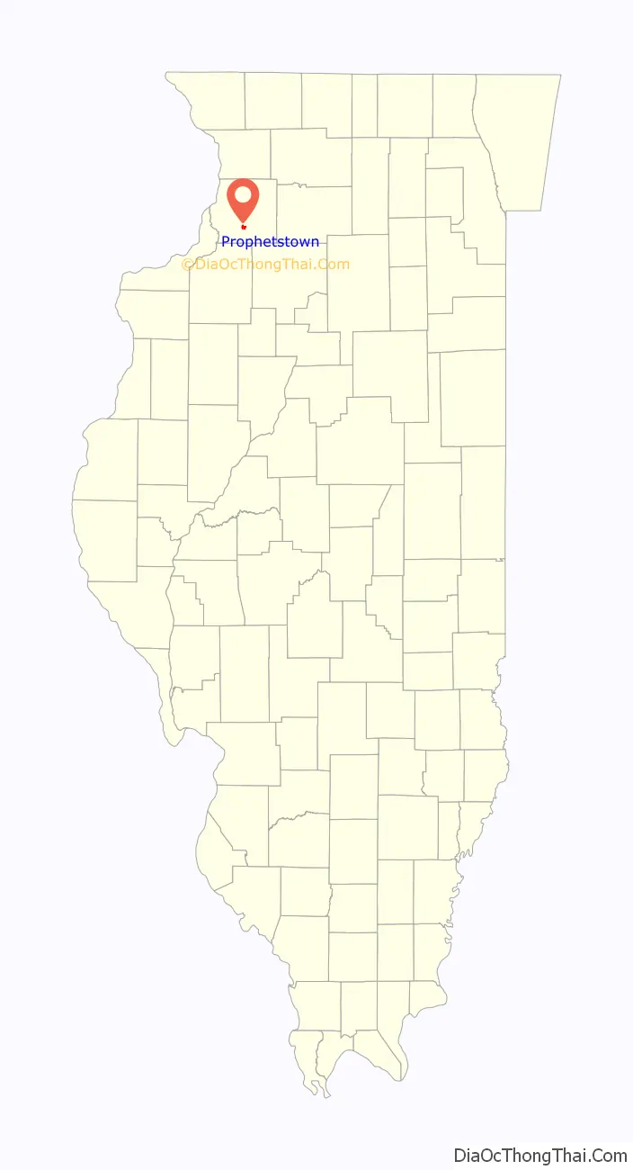
Prophetstown location map. Where is Prophetstown city?
History
An 1825 treaty establishes an unnamed “Winnebago village” about 40 miles above the mouth of the Rock River as a boundary point of the Winnebago, corresponding to the location of Prophetstown.
Prophetstown occupies the site of the village of the Winnebago prophet, which the Illinois volunteers destroyed on May 10, 1832, in the first act of hostility in the Black Hawk War. Prophetstown was named for Wabokieshiek (White Cloud), the prophet who lived upon the land. Wabokieshiek served as an advisor to Black Hawk and took part in the Black Hawk War. Wabokieshiek and his followers, the Sauk Indians, resided where the current Prophetstown State Park (of Illinois) is now located. They left the land in 1832 as the Black Hawk War ended, when Wabokieshiek was taken captive by the United States. This area is now a state park, but at one time it held a community of 14 villages.
It is believed that residents of Prophetstown petitioned to move the U.S. government from Washington D.C. to Prophetstown in the 1800s because of its supposed central location of the lower 48 states.
Prophetstown once held community events such as Cruise Night and showcased many classic cars. Eventually that event faded and Eclipse Park was replaced with a memorial to honor those who served in the Armed Forces. Prophetstown is still held in high esteem for having one of the largest Fourth of July fireworks shows in the area. Prophetstown also hosts a Lighted Christmas Parade as the highlight of the start of the holiday season the Saturday before Thanksgiving. Prophetstown is an Illinois Main Street Community. The downtown features a series of historical murals and Eclipse Square Park as well as a selection of stores and restaurants.
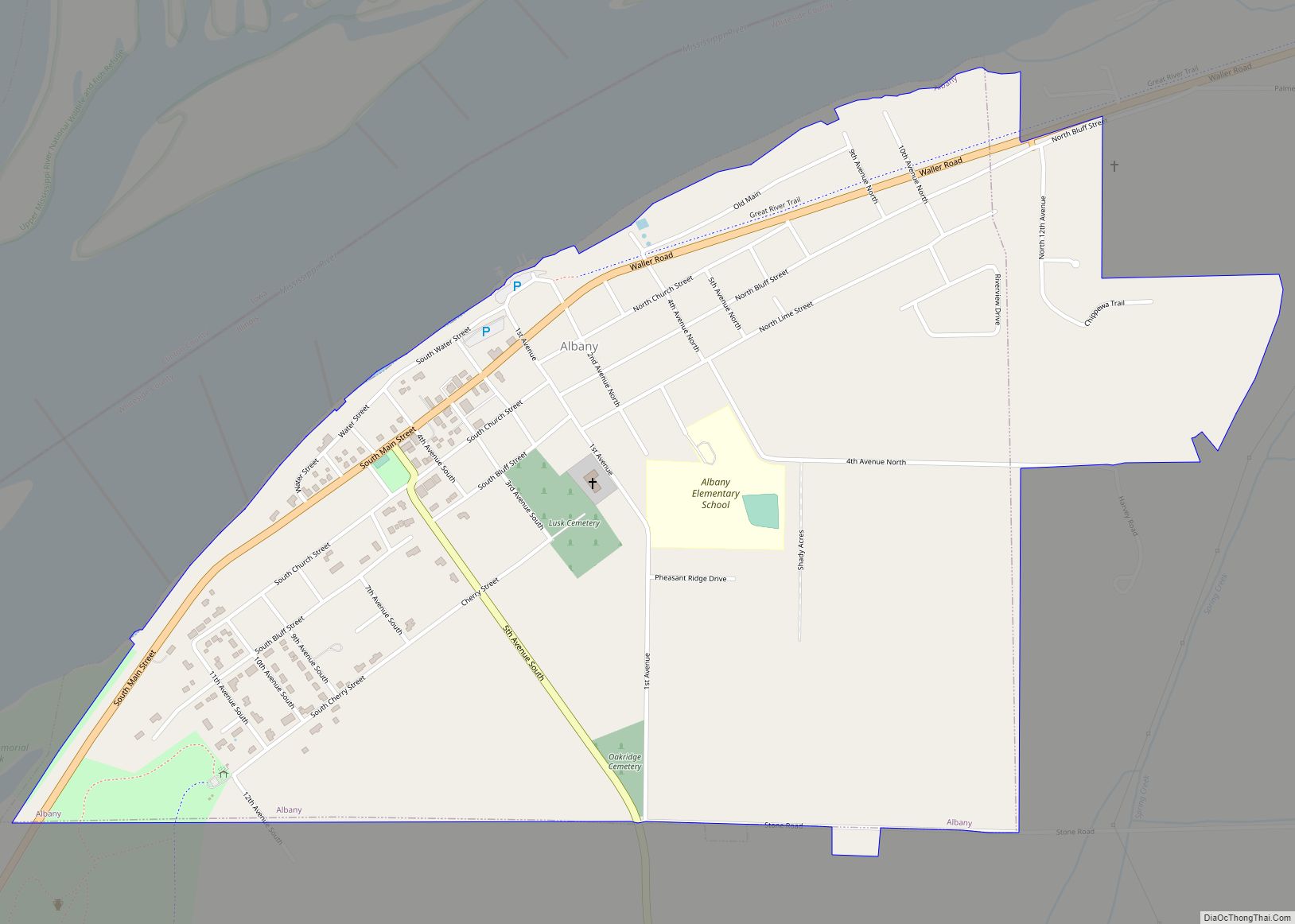
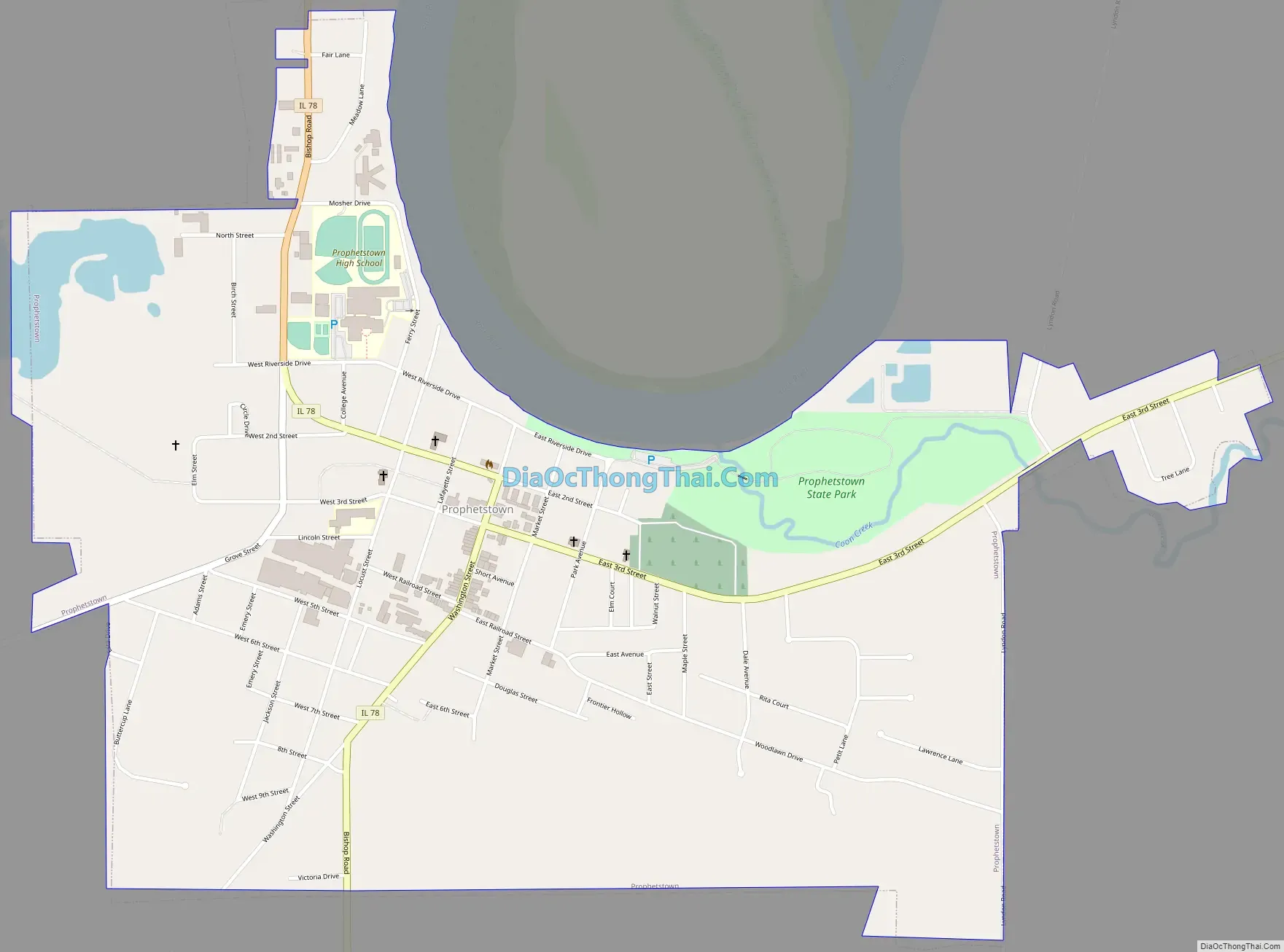
Prophetstown Road Map
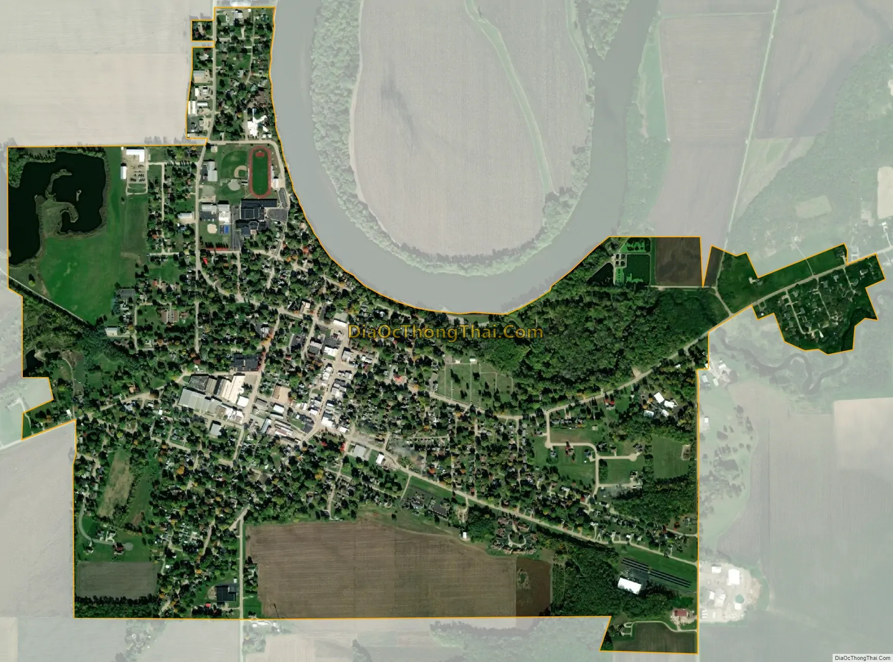
Prophetstown city Satellite Map
Geography
Prophetstown is located at 41°40′14″N 89°56′9″W / 41.67056°N 89.93583°W / 41.67056; -89.93583 (41.670504, -89.935869).
According to the 2010 census, Prophetstown has a total area of 1.394 square miles (3.61 km), of which 1.37 square miles (3.55 km) (or 98.28%) is land and 0.024 square miles (0.06 km) (or 1.72%) is water.
See also
Map of Illinois State and its subdivision:- Adams
- Alexander
- Bond
- Boone
- Brown
- Bureau
- Calhoun
- Carroll
- Cass
- Champaign
- Christian
- Clark
- Clay
- Clinton
- Coles
- Cook
- Crawford
- Cumberland
- De Kalb
- De Witt
- Douglas
- Dupage
- Edgar
- Edwards
- Effingham
- Fayette
- Ford
- Franklin
- Fulton
- Gallatin
- Greene
- Grundy
- Hamilton
- Hancock
- Hardin
- Henderson
- Henry
- Iroquois
- Jackson
- Jasper
- Jefferson
- Jersey
- Jo Daviess
- Johnson
- Kane
- Kankakee
- Kendall
- Knox
- La Salle
- Lake
- Lake Michigan
- Lawrence
- Lee
- Livingston
- Logan
- Macon
- Macoupin
- Madison
- Marion
- Marshall
- Mason
- Massac
- McDonough
- McHenry
- McLean
- Menard
- Mercer
- Monroe
- Montgomery
- Morgan
- Moultrie
- Ogle
- Peoria
- Perry
- Piatt
- Pike
- Pope
- Pulaski
- Putnam
- Randolph
- Richland
- Rock Island
- Saint Clair
- Saline
- Sangamon
- Schuyler
- Scott
- Shelby
- Stark
- Stephenson
- Tazewell
- Union
- Vermilion
- Wabash
- Warren
- Washington
- Wayne
- White
- Whiteside
- Will
- Williamson
- Winnebago
- Woodford
- Alabama
- Alaska
- Arizona
- Arkansas
- California
- Colorado
- Connecticut
- Delaware
- District of Columbia
- Florida
- Georgia
- Hawaii
- Idaho
- Illinois
- Indiana
- Iowa
- Kansas
- Kentucky
- Louisiana
- Maine
- Maryland
- Massachusetts
- Michigan
- Minnesota
- Mississippi
- Missouri
- Montana
- Nebraska
- Nevada
- New Hampshire
- New Jersey
- New Mexico
- New York
- North Carolina
- North Dakota
- Ohio
- Oklahoma
- Oregon
- Pennsylvania
- Rhode Island
- South Carolina
- South Dakota
- Tennessee
- Texas
- Utah
- Vermont
- Virginia
- Washington
- West Virginia
- Wisconsin
- Wyoming