Riverton is a village in Sangamon County, Illinois, United States. The population was 3,455 at the 2010 census, up from 3,062 in 2000. It is part of the Springfield, Illinois Metropolitan Statistical Area.
| Name: | Riverton village |
|---|---|
| LSAD Code: | 47 |
| LSAD Description: | village (suffix) |
| State: | Illinois |
| County: | Sangamon County |
| Elevation: | 583 ft (178 m) |
| Total Area: | 3.14 sq mi (8.14 km²) |
| Land Area: | 3.12 sq mi (8.08 km²) |
| Water Area: | 0.02 sq mi (0.06 km²) |
| Total Population: | 3,532 |
| Population Density: | 1,131.69/sq mi (436.97/km²) |
| Area code: | 217 |
| FIPS code: | 1764486 |
| Website: | riverton.illinois.gov |
Online Interactive Map
Click on ![]() to view map in "full screen" mode.
to view map in "full screen" mode.
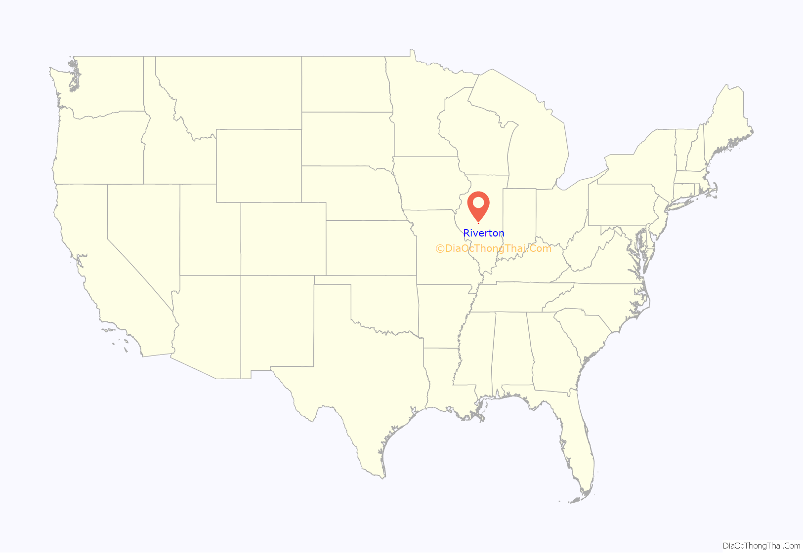
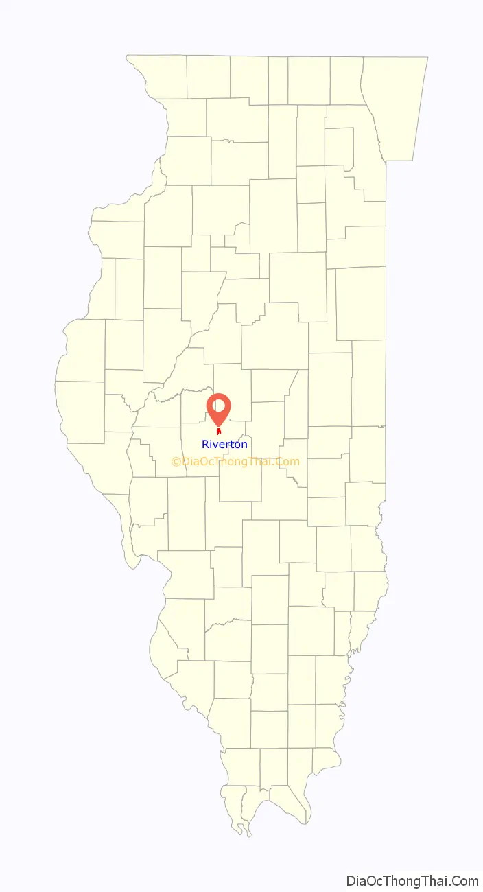
Riverton location map. Where is Riverton village?
History
Riverton was founded by John Taylor in 1837. Originally named Judy’s Ferry for the ferry crossing the Sangamon River there, then Jamestown, after politician James Shields, the village was successful for about a decade, producing lumber for a planned railroad. When it was discovered that the railroad was badly constructed and unreliable, Jamestown fell into economic distress and the land on which it sat was sold. The town was sold to Joseph Loose of Maryland, then again to John D. Keedy, a Springfield distiller. Land south of Jamestown was purchased and a distillery was put up. Yet again, the properties were lost, first mortgaged to Jacob Bunn, then given as a claim settlement to Parley L. Howlett, another distiller. Jamestown was soon renamed Howlett, Shields had fallen from popularity, and a new flour mill and coal mine caused a short-lived boom. Despite their success, most of Howlett was sold to Jacob Bunn to pay off debt. Bunn started selling the lots to the residents, the only owner to do so. After a state requirement was passed preventing communities from being named after people, Howlett was rechristened as Riverton in the 1870s. In 1876, train robber Jesse James spent a night in Riverton while en route to a bank heist in Minnesota. Al Capone also reportedly used Riverton as one of his hideouts. Riverton historically had a higher immigrant population than other small towns in the Springfield area due to the coal mining industry. There is still a lot of Italian-American influence in the town.
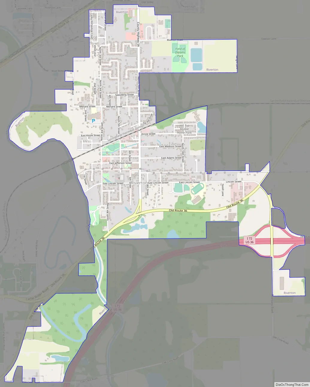
Riverton Road Map
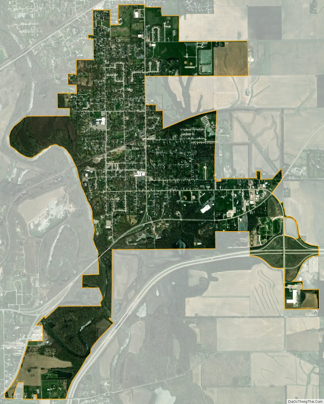
Riverton city Satellite Map
Geography
Riverton is located at 39°50′54″N 89°32′25″W / 39.84833°N 89.54028°W / 39.84833; -89.54028 (39.848305, -89.540166).
According to the 2010 census, Riverton has a total area of 2.216 square miles (5.74 km), of which 2.18 square miles (5.65 km) (or 98.38%) is land and 0.036 square miles (0.09 km) (or 1.62%) is water.
See also
Map of Illinois State and its subdivision:- Adams
- Alexander
- Bond
- Boone
- Brown
- Bureau
- Calhoun
- Carroll
- Cass
- Champaign
- Christian
- Clark
- Clay
- Clinton
- Coles
- Cook
- Crawford
- Cumberland
- De Kalb
- De Witt
- Douglas
- Dupage
- Edgar
- Edwards
- Effingham
- Fayette
- Ford
- Franklin
- Fulton
- Gallatin
- Greene
- Grundy
- Hamilton
- Hancock
- Hardin
- Henderson
- Henry
- Iroquois
- Jackson
- Jasper
- Jefferson
- Jersey
- Jo Daviess
- Johnson
- Kane
- Kankakee
- Kendall
- Knox
- La Salle
- Lake
- Lake Michigan
- Lawrence
- Lee
- Livingston
- Logan
- Macon
- Macoupin
- Madison
- Marion
- Marshall
- Mason
- Massac
- McDonough
- McHenry
- McLean
- Menard
- Mercer
- Monroe
- Montgomery
- Morgan
- Moultrie
- Ogle
- Peoria
- Perry
- Piatt
- Pike
- Pope
- Pulaski
- Putnam
- Randolph
- Richland
- Rock Island
- Saint Clair
- Saline
- Sangamon
- Schuyler
- Scott
- Shelby
- Stark
- Stephenson
- Tazewell
- Union
- Vermilion
- Wabash
- Warren
- Washington
- Wayne
- White
- Whiteside
- Will
- Williamson
- Winnebago
- Woodford
- Alabama
- Alaska
- Arizona
- Arkansas
- California
- Colorado
- Connecticut
- Delaware
- District of Columbia
- Florida
- Georgia
- Hawaii
- Idaho
- Illinois
- Indiana
- Iowa
- Kansas
- Kentucky
- Louisiana
- Maine
- Maryland
- Massachusetts
- Michigan
- Minnesota
- Mississippi
- Missouri
- Montana
- Nebraska
- Nevada
- New Hampshire
- New Jersey
- New Mexico
- New York
- North Carolina
- North Dakota
- Ohio
- Oklahoma
- Oregon
- Pennsylvania
- Rhode Island
- South Carolina
- South Dakota
- Tennessee
- Texas
- Utah
- Vermont
- Virginia
- Washington
- West Virginia
- Wisconsin
- Wyoming


