Rutland is a village in LaSalle County, Illinois, United States. It is part of the Ottawa Micropolitan Statistical Area. As of the 2020 census, the population was 259, down from 318 at the 2010 census.
The village was named after Rutland, Vermont.
| Name: | Rutland village |
|---|---|
| LSAD Code: | 47 |
| LSAD Description: | village (suffix) |
| State: | Illinois |
| County: | LaSalle County |
| Elevation: | 702 ft (214 m) |
| Total Area: | 0.69 sq mi (1.80 km²) |
| Land Area: | 0.69 sq mi (1.80 km²) |
| Water Area: | 0.00 sq mi (0.00 km²) |
| Total Population: | 259 |
| Population Density: | 373.20/sq mi (144.03/km²) |
| ZIP code: | 61358 |
| Area code: | 815 |
| FIPS code: | 1766443 |
| GNISfeature ID: | 2399151 |
Online Interactive Map
Click on ![]() to view map in "full screen" mode.
to view map in "full screen" mode.
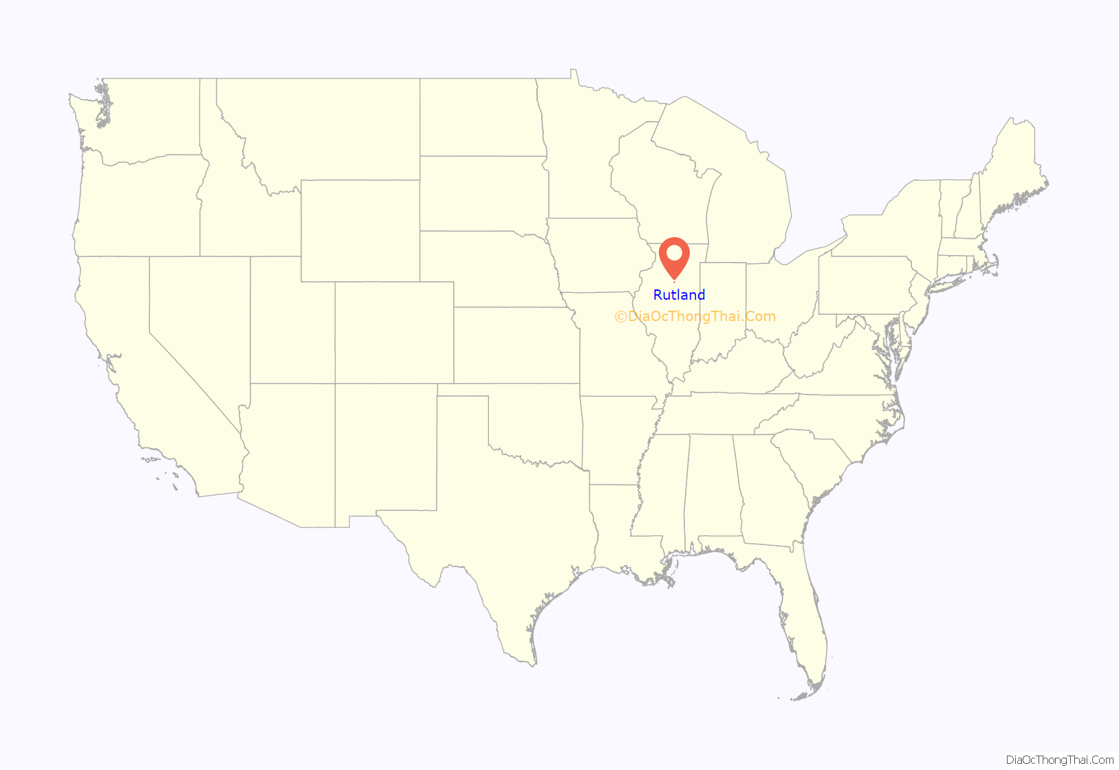
Rutland location map. Where is Rutland village?
History
The village was founded as “New Rutland” in 1855 when approximately 200 members of the Vermont Emigration Association paid $10 each for a plot of land. The original location of the town-site was exclusively within LaSalle county. However, an additional ten blocks of land were added October 20, 1856, that was located primarily in adjacent Marshall County.
2021 Village Hall Fire
On the morning of October 15, 2021, a fire was reported at the village’s 100 block of Northwest Front Street. Fifteen fire departments responded, including Streator, along with multiple ambulances and law enforcement personal. The fire is currently being investaged as an arson attack.
Rutland Road Map
Rutland city Satellite Map
Geography
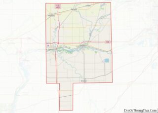
Rutland is located in the southern panhandle of LaSalle County. The western border of the village is the LaSalle/Marshall County line. Approximately five blocks of developed land extend west into Marshall County, outside the village limits.
Illinois Route 251 follows the county line and the western border of the village. It leads north 5 miles (8 km) to Wenona and south 7 miles (11 km) to Minonk in Woodford County. Interstate 39 passes 0.5 miles (0.80 km) of the village limits, but there is no direct access to Rutland. The nearest exits are 3 miles (5 km) to the north and 5 miles (8 km) to the south.
According to the 2021 census gazetteer files, Rutland has a total area of 0.69 square miles (1.79 km), all land.
See also
Map of Illinois State and its subdivision:- Adams
- Alexander
- Bond
- Boone
- Brown
- Bureau
- Calhoun
- Carroll
- Cass
- Champaign
- Christian
- Clark
- Clay
- Clinton
- Coles
- Cook
- Crawford
- Cumberland
- De Kalb
- De Witt
- Douglas
- Dupage
- Edgar
- Edwards
- Effingham
- Fayette
- Ford
- Franklin
- Fulton
- Gallatin
- Greene
- Grundy
- Hamilton
- Hancock
- Hardin
- Henderson
- Henry
- Iroquois
- Jackson
- Jasper
- Jefferson
- Jersey
- Jo Daviess
- Johnson
- Kane
- Kankakee
- Kendall
- Knox
- La Salle
- Lake
- Lake Michigan
- Lawrence
- Lee
- Livingston
- Logan
- Macon
- Macoupin
- Madison
- Marion
- Marshall
- Mason
- Massac
- McDonough
- McHenry
- McLean
- Menard
- Mercer
- Monroe
- Montgomery
- Morgan
- Moultrie
- Ogle
- Peoria
- Perry
- Piatt
- Pike
- Pope
- Pulaski
- Putnam
- Randolph
- Richland
- Rock Island
- Saint Clair
- Saline
- Sangamon
- Schuyler
- Scott
- Shelby
- Stark
- Stephenson
- Tazewell
- Union
- Vermilion
- Wabash
- Warren
- Washington
- Wayne
- White
- Whiteside
- Will
- Williamson
- Winnebago
- Woodford
- Alabama
- Alaska
- Arizona
- Arkansas
- California
- Colorado
- Connecticut
- Delaware
- District of Columbia
- Florida
- Georgia
- Hawaii
- Idaho
- Illinois
- Indiana
- Iowa
- Kansas
- Kentucky
- Louisiana
- Maine
- Maryland
- Massachusetts
- Michigan
- Minnesota
- Mississippi
- Missouri
- Montana
- Nebraska
- Nevada
- New Hampshire
- New Jersey
- New Mexico
- New York
- North Carolina
- North Dakota
- Ohio
- Oklahoma
- Oregon
- Pennsylvania
- Rhode Island
- South Carolina
- South Dakota
- Tennessee
- Texas
- Utah
- Vermont
- Virginia
- Washington
- West Virginia
- Wisconsin
- Wyoming
