Minonk is a city in Minonk Township, Woodford County, Illinois, United States. The population was 2,078 at the 2010 census, down from 2,168 in 2000. It is part of the Peoria, Illinois Metropolitan Statistical Area.
| Name: | Minonk city |
|---|---|
| LSAD Code: | 25 |
| LSAD Description: | city (suffix) |
| State: | Illinois |
| County: | Woodford County |
| Elevation: | 747 ft (228 m) |
| Total Area: | 2.40 sq mi (6.22 km²) |
| Land Area: | 2.40 sq mi (6.22 km²) |
| Water Area: | 0.00 sq mi (0.00 km²) |
| Total Population: | 1,928 |
| Population Density: | 803.33/sq mi (310.21/km²) |
| Area code: | 309 |
| FIPS code: | 1749568 |
| Website: | cityofminonk.com |
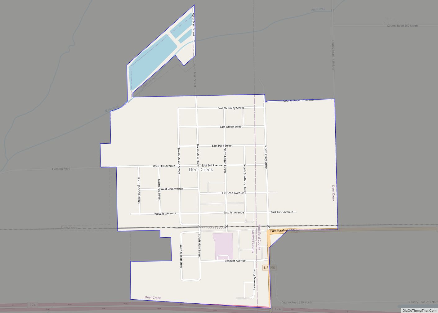
Online Interactive Map
Click on ![]() to view map in "full screen" mode.
to view map in "full screen" mode.
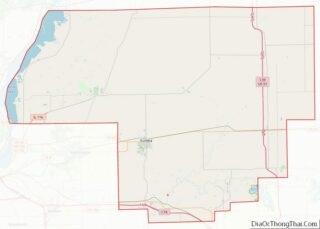
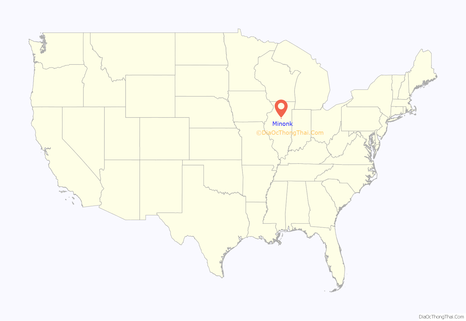
Minonk location map. Where is Minonk city?

History
The founding of Minonk corresponds with the construction of the Illinois Central Railroad. The Illinois Central Railroad main line was completed in 1854 and ran through Section Seven, eventually becoming the City of Minonk. The plat of the town was first recorded on November 7, 1854.
David Neal, an agent with the Illinois Central Railroad, is credited for naming the city. Local folklore provides varying accounts about the origins of the name “Minonk.” One version states that he originally named the area after a street in Boston, MA, where he owned property. A second story suggests that he changed the name of the settlement, originally referred to as “Marquette” on old French maps, to the Ojibwe word “Minonk,” meaning “a good place.” Minonk is the only city in the world with that name.
Early settlers were attracted to Minonk by a variety of livelihoods. Many came to work on the railroad. Others settled in the area to farm on the abundant, rich farmland. However, coal mining was the leading industry in the early years of Minonk. The first coal mines were developed in the 1860s, and at one point employed over 300 men. Two mines operated in Minonk: the first mine was located on the north edge of the city, and the second was situated a half-mile north of town.
Minonk Road Map
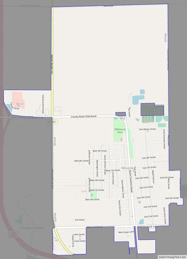
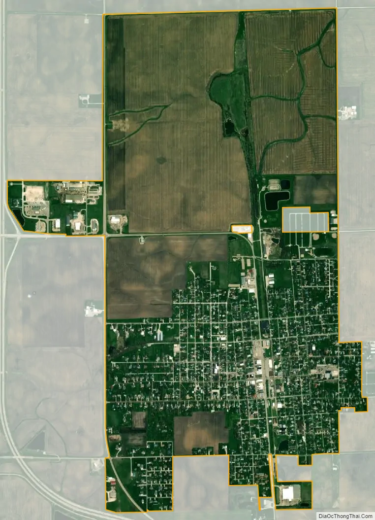
Minonk city Satellite Map
Geography
Minonk is located at 40°54′8″N 89°2′10″W / 40.90222°N 89.03611°W / 40.90222; -89.03611 (40.902357, -89.035992).
According to the 2010 census, Minonk has a total area of 2.42 square miles (6.27 km), all land.
Climate
See also
Map of Illinois State and its subdivision:- Adams
- Alexander
- Bond
- Boone
- Brown
- Bureau
- Calhoun
- Carroll
- Cass
- Champaign
- Christian
- Clark
- Clay
- Clinton
- Coles
- Cook
- Crawford
- Cumberland
- De Kalb
- De Witt
- Douglas
- Dupage
- Edgar
- Edwards
- Effingham
- Fayette
- Ford
- Franklin
- Fulton
- Gallatin
- Greene
- Grundy
- Hamilton
- Hancock
- Hardin
- Henderson
- Henry
- Iroquois
- Jackson
- Jasper
- Jefferson
- Jersey
- Jo Daviess
- Johnson
- Kane
- Kankakee
- Kendall
- Knox
- La Salle
- Lake
- Lake Michigan
- Lawrence
- Lee
- Livingston
- Logan
- Macon
- Macoupin
- Madison
- Marion
- Marshall
- Mason
- Massac
- McDonough
- McHenry
- McLean
- Menard
- Mercer
- Monroe
- Montgomery
- Morgan
- Moultrie
- Ogle
- Peoria
- Perry
- Piatt
- Pike
- Pope
- Pulaski
- Putnam
- Randolph
- Richland
- Rock Island
- Saint Clair
- Saline
- Sangamon
- Schuyler
- Scott
- Shelby
- Stark
- Stephenson
- Tazewell
- Union
- Vermilion
- Wabash
- Warren
- Washington
- Wayne
- White
- Whiteside
- Will
- Williamson
- Winnebago
- Woodford
- Alabama
- Alaska
- Arizona
- Arkansas
- California
- Colorado
- Connecticut
- Delaware
- District of Columbia
- Florida
- Georgia
- Hawaii
- Idaho
- Illinois
- Indiana
- Iowa
- Kansas
- Kentucky
- Louisiana
- Maine
- Maryland
- Massachusetts
- Michigan
- Minnesota
- Mississippi
- Missouri
- Montana
- Nebraska
- Nevada
- New Hampshire
- New Jersey
- New Mexico
- New York
- North Carolina
- North Dakota
- Ohio
- Oklahoma
- Oregon
- Pennsylvania
- Rhode Island
- South Carolina
- South Dakota
- Tennessee
- Texas
- Utah
- Vermont
- Virginia
- Washington
- West Virginia
- Wisconsin
- Wyoming