Saunemin is a village in Livingston County, Illinois, United States. The population was 420 at the 2010 census. It was named after a Kickapoo chief.
| Name: | Saunemin village |
|---|---|
| LSAD Code: | 47 |
| LSAD Description: | village (suffix) |
| State: | Illinois |
| County: | Livingston County |
| Elevation: | 689 ft (210 m) |
| Total Area: | 0.23 sq mi (0.60 km²) |
| Land Area: | 0.23 sq mi (0.60 km²) |
| Water Area: | 0.00 sq mi (0.01 km²) |
| Total Population: | 406 |
| Population Density: | 1,757.58/sq mi (678.14/km²) |
| ZIP code: | 61769 |
| FIPS code: | 1767795 |
| Website: | www.sauneminillinois.org |
Online Interactive Map
Click on ![]() to view map in "full screen" mode.
to view map in "full screen" mode.
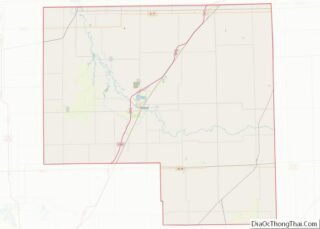
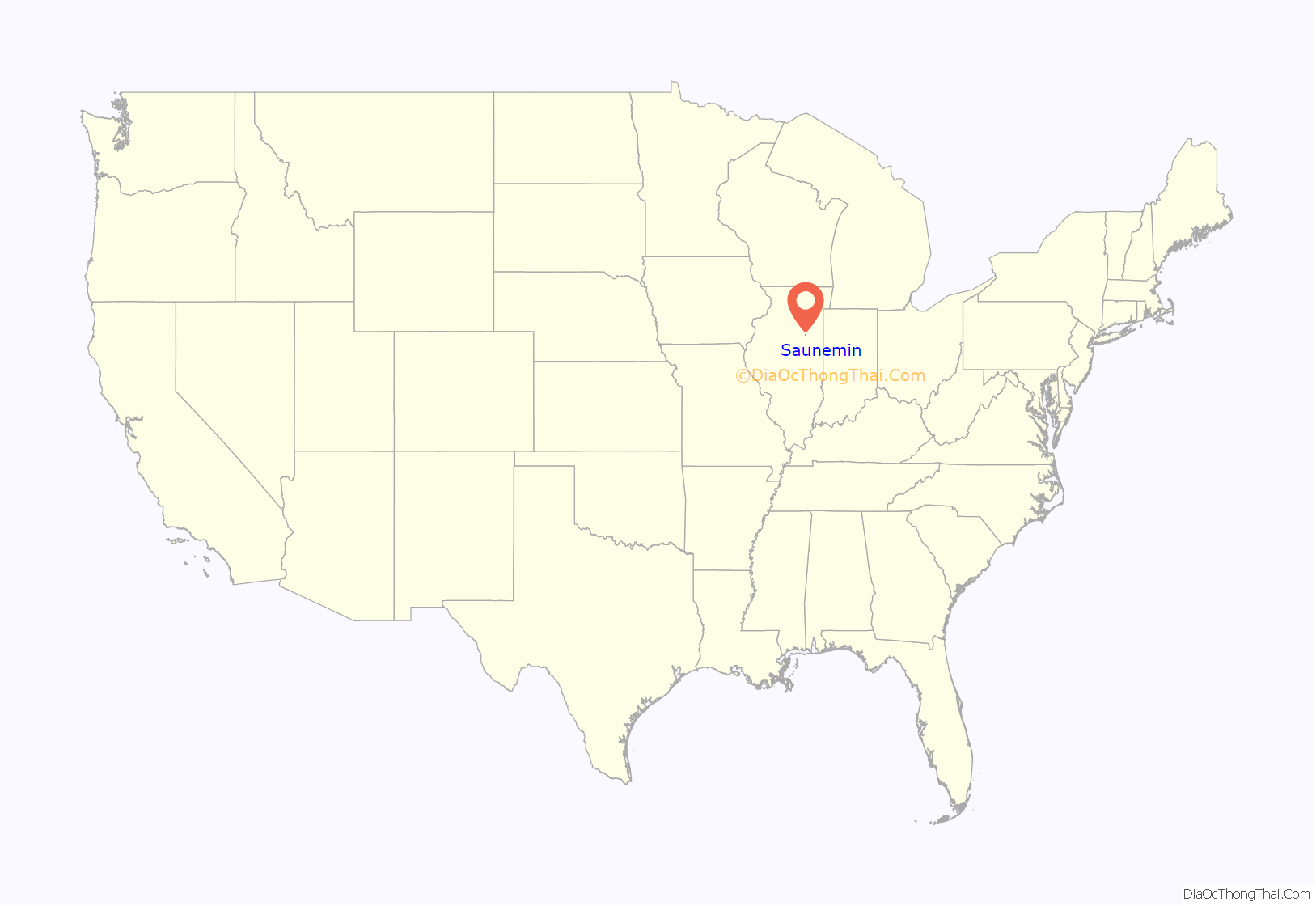
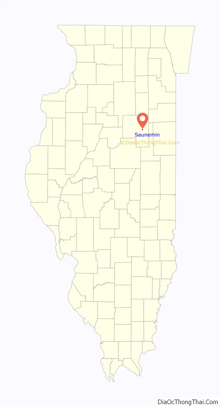
Saunemin location map. Where is Saunemin village?
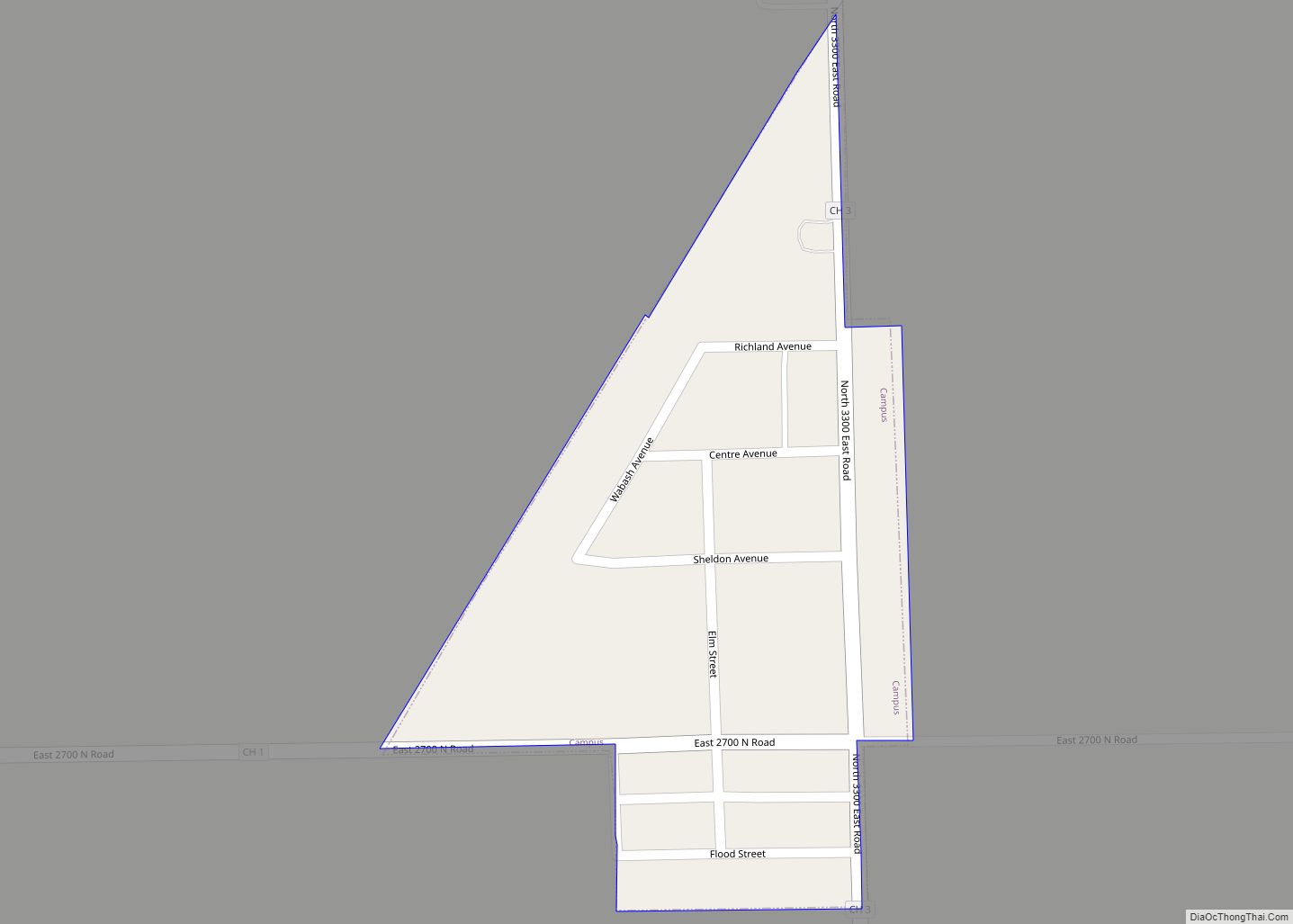
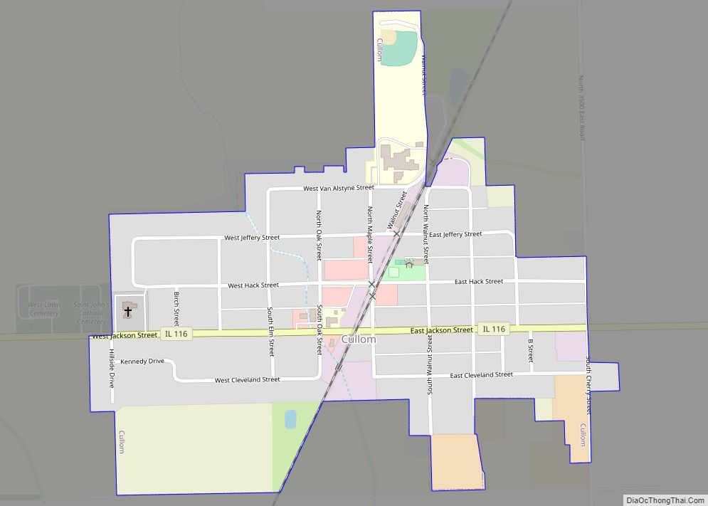
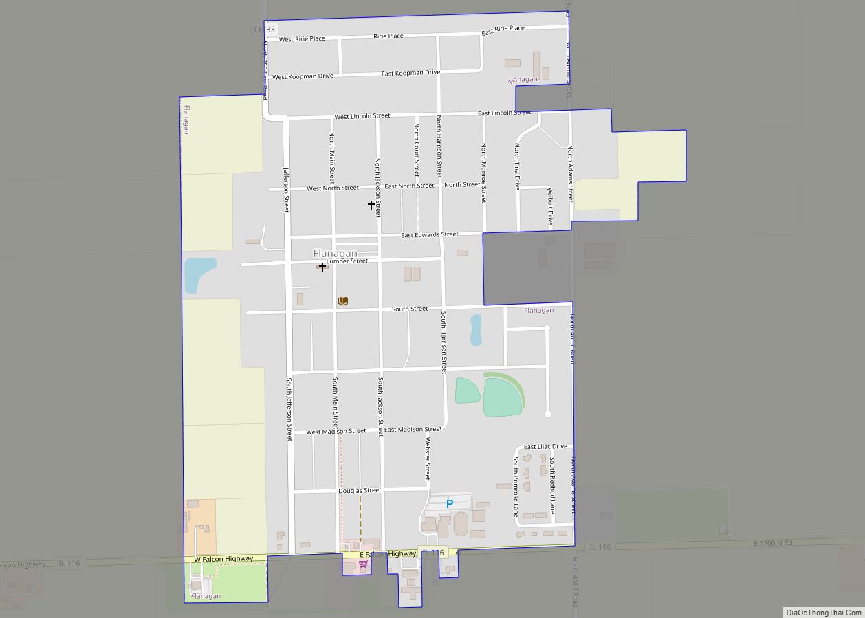
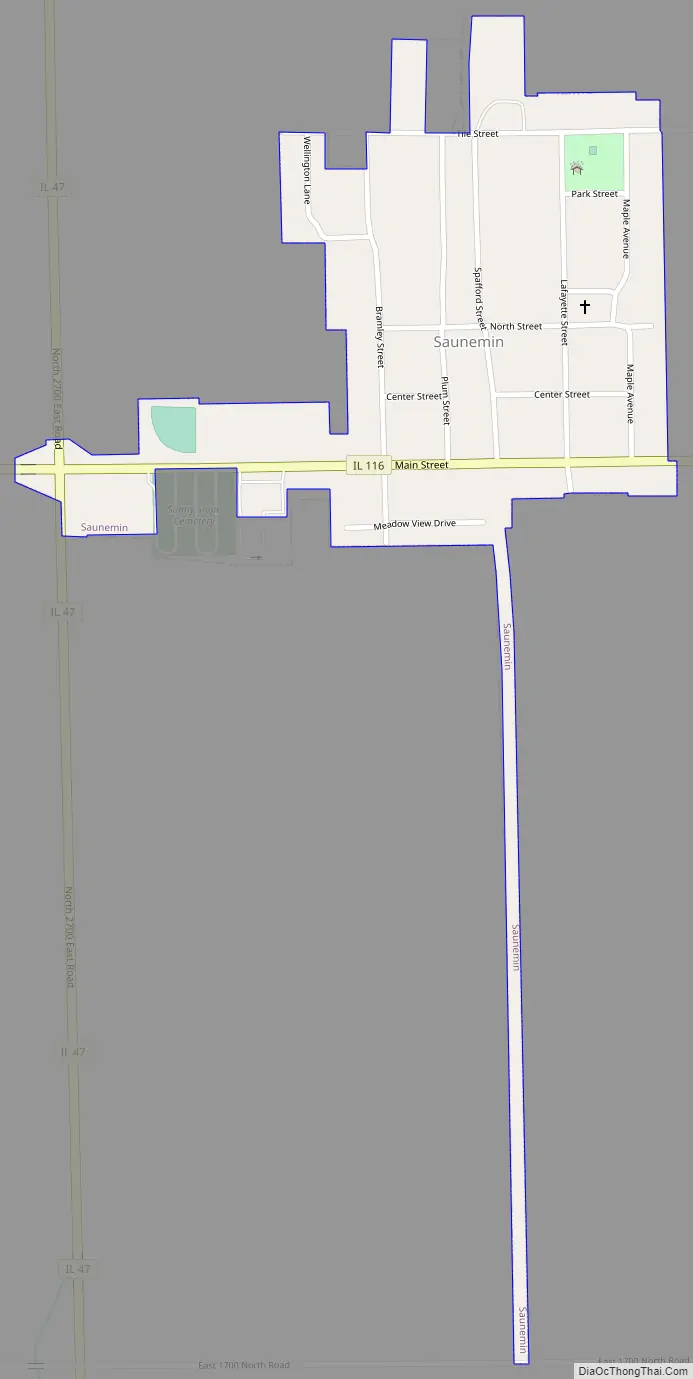
Saunemin Road Map
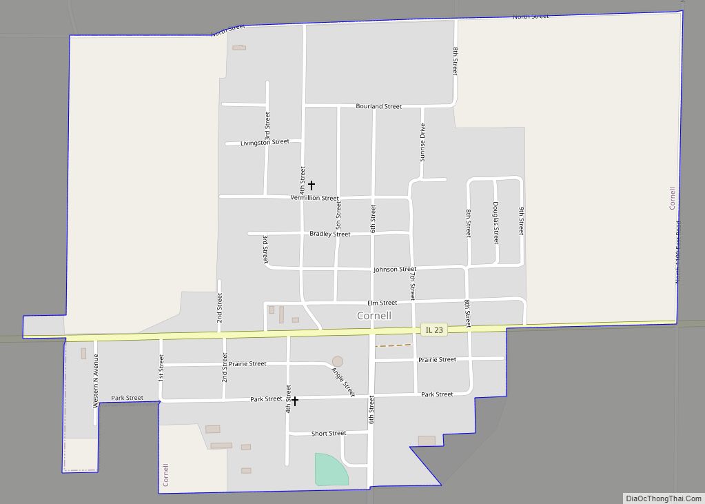
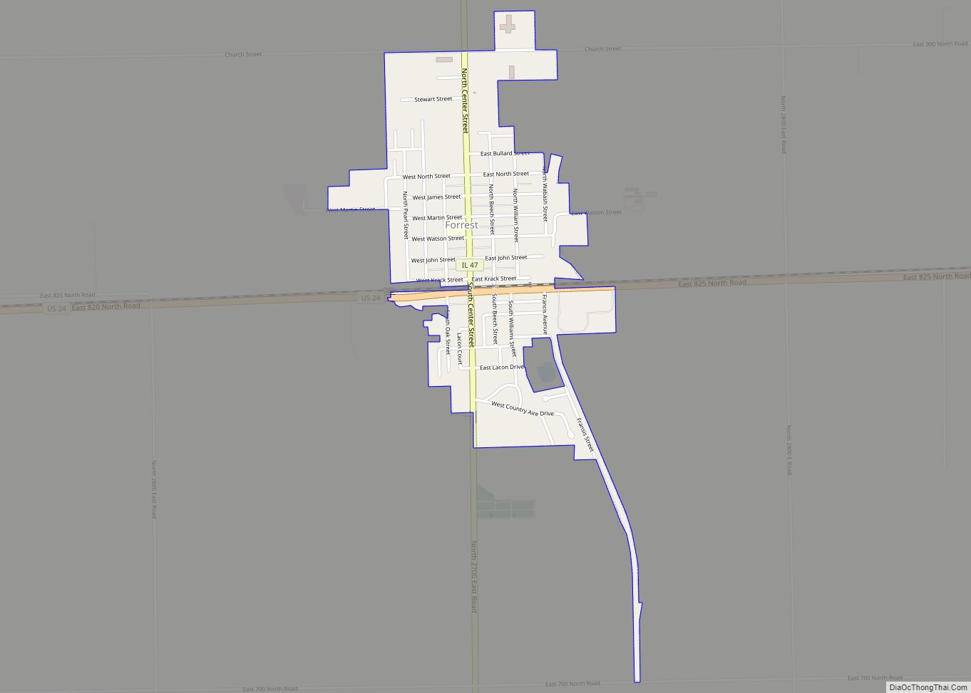
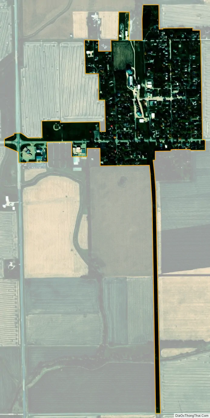
Saunemin city Satellite Map
Geography
Saunemin is located in eastern Livingston County at 40°53′34″N 88°24′24″W / 40.89278°N 88.40667°W / 40.89278; -88.40667 (40.892889, -88.406531). Illinois Route 116 passes through the southern side of the village, leading west 12 miles (19 km) to Pontiac, the county seat, and east 26 miles (42 km) to Ashkum. The village limits extend west along Route 116 to the crossroads with Illinois Route 47, which leads north 15 miles (24 km) to Dwight and south 10 miles (16 km) to Forrest.
According to the 2010 census, Saunemin has a total area of 0.25 square miles (0.65 km), all land.
See also
Map of Illinois State and its subdivision:- Adams
- Alexander
- Bond
- Boone
- Brown
- Bureau
- Calhoun
- Carroll
- Cass
- Champaign
- Christian
- Clark
- Clay
- Clinton
- Coles
- Cook
- Crawford
- Cumberland
- De Kalb
- De Witt
- Douglas
- Dupage
- Edgar
- Edwards
- Effingham
- Fayette
- Ford
- Franklin
- Fulton
- Gallatin
- Greene
- Grundy
- Hamilton
- Hancock
- Hardin
- Henderson
- Henry
- Iroquois
- Jackson
- Jasper
- Jefferson
- Jersey
- Jo Daviess
- Johnson
- Kane
- Kankakee
- Kendall
- Knox
- La Salle
- Lake
- Lake Michigan
- Lawrence
- Lee
- Livingston
- Logan
- Macon
- Macoupin
- Madison
- Marion
- Marshall
- Mason
- Massac
- McDonough
- McHenry
- McLean
- Menard
- Mercer
- Monroe
- Montgomery
- Morgan
- Moultrie
- Ogle
- Peoria
- Perry
- Piatt
- Pike
- Pope
- Pulaski
- Putnam
- Randolph
- Richland
- Rock Island
- Saint Clair
- Saline
- Sangamon
- Schuyler
- Scott
- Shelby
- Stark
- Stephenson
- Tazewell
- Union
- Vermilion
- Wabash
- Warren
- Washington
- Wayne
- White
- Whiteside
- Will
- Williamson
- Winnebago
- Woodford
- Alabama
- Alaska
- Arizona
- Arkansas
- California
- Colorado
- Connecticut
- Delaware
- District of Columbia
- Florida
- Georgia
- Hawaii
- Idaho
- Illinois
- Indiana
- Iowa
- Kansas
- Kentucky
- Louisiana
- Maine
- Maryland
- Massachusetts
- Michigan
- Minnesota
- Mississippi
- Missouri
- Montana
- Nebraska
- Nevada
- New Hampshire
- New Jersey
- New Mexico
- New York
- North Carolina
- North Dakota
- Ohio
- Oklahoma
- Oregon
- Pennsylvania
- Rhode Island
- South Carolina
- South Dakota
- Tennessee
- Texas
- Utah
- Vermont
- Virginia
- Washington
- West Virginia
- Wisconsin
- Wyoming