Sheridan is a village in LaSalle County, Illinois, United States. As of the 2020 census, the village’s population was 2,431, up from 2,137 at the 2010 census. It is part of the Ottawa Micropolitan Statistical Area.
| Name: | Sheridan village |
|---|---|
| LSAD Code: | 47 |
| LSAD Description: | village (suffix) |
| State: | Illinois |
| County: | LaSalle County |
| Elevation: | 594 ft (181 m) |
| Total Area: | 2.16 sq mi (5.59 km²) |
| Land Area: | 2.12 sq mi (5.49 km²) |
| Water Area: | 0.04 sq mi (0.10 km²) |
| Total Population: | 2,431 |
| Population Density: | 1,146.16/sq mi (442.64/km²) |
| FIPS code: | 1769277 |
| GNISfeature ID: | 2399800 |
| Website: | www.sheridan-il.us |
Online Interactive Map
Click on ![]() to view map in "full screen" mode.
to view map in "full screen" mode.
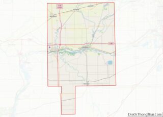
Sheridan location map. Where is Sheridan village?
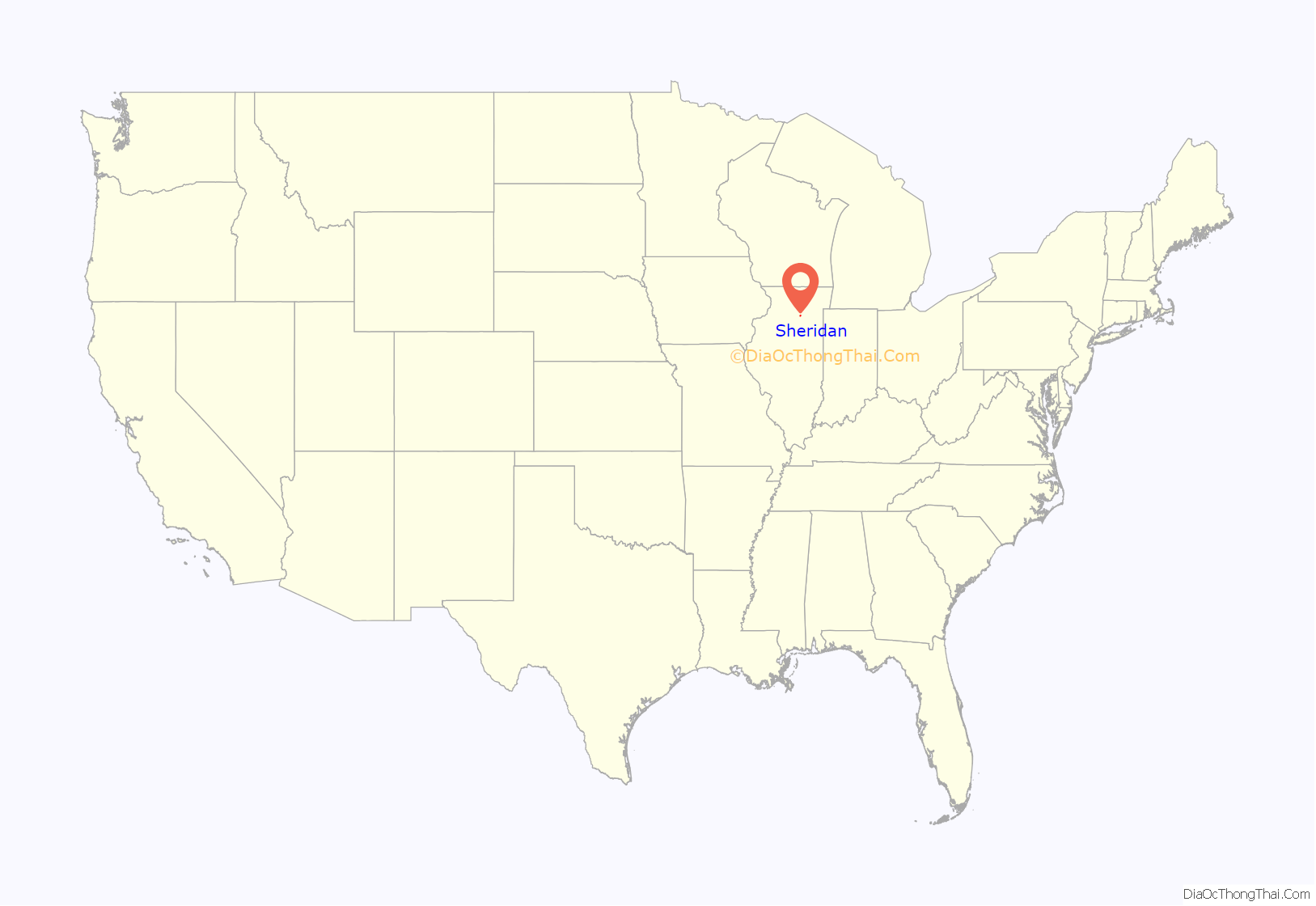
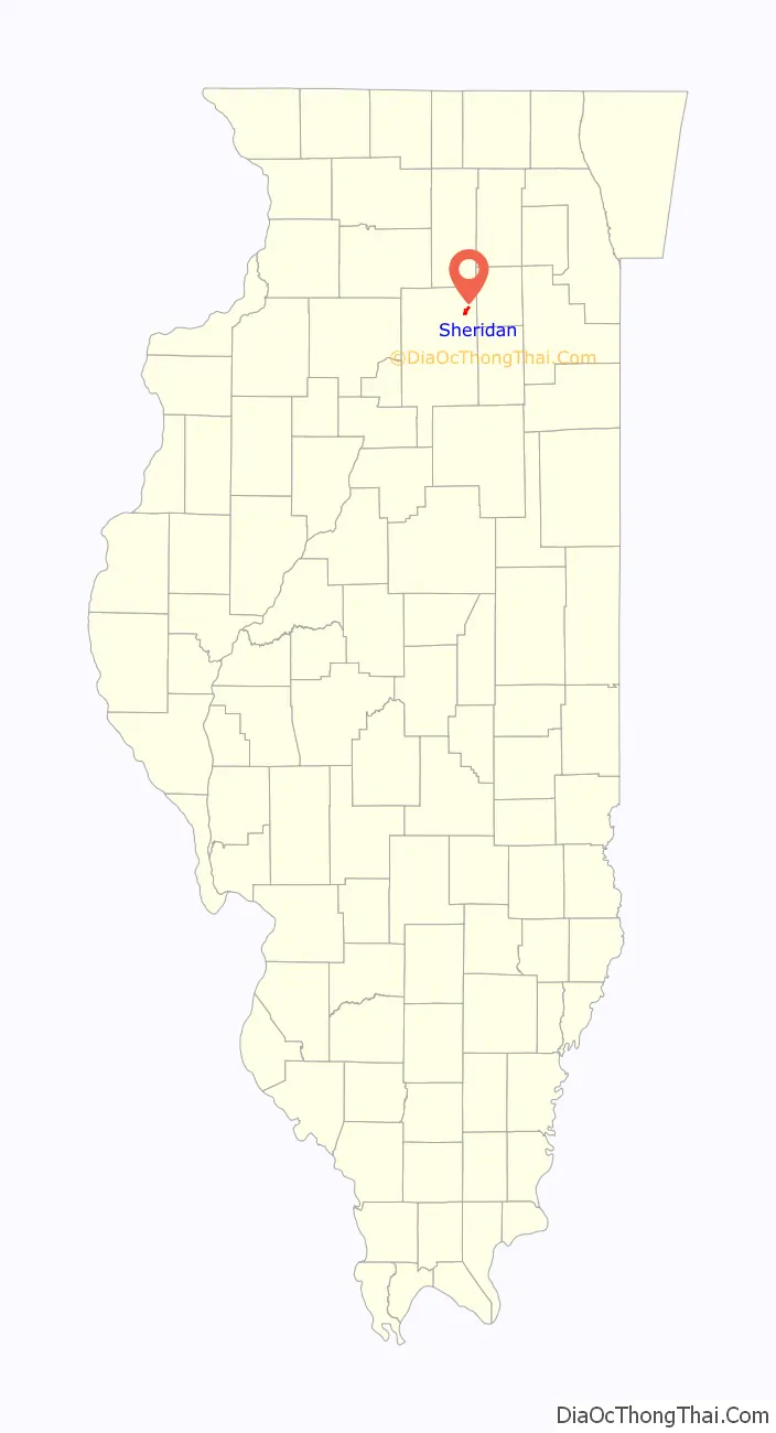
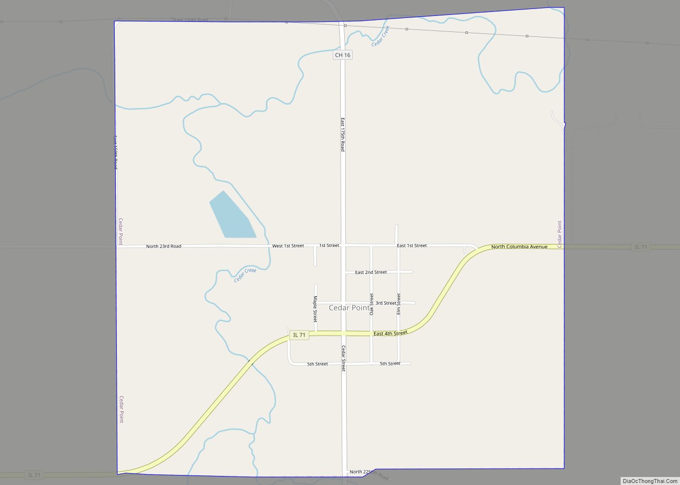
Sheridan Road Map
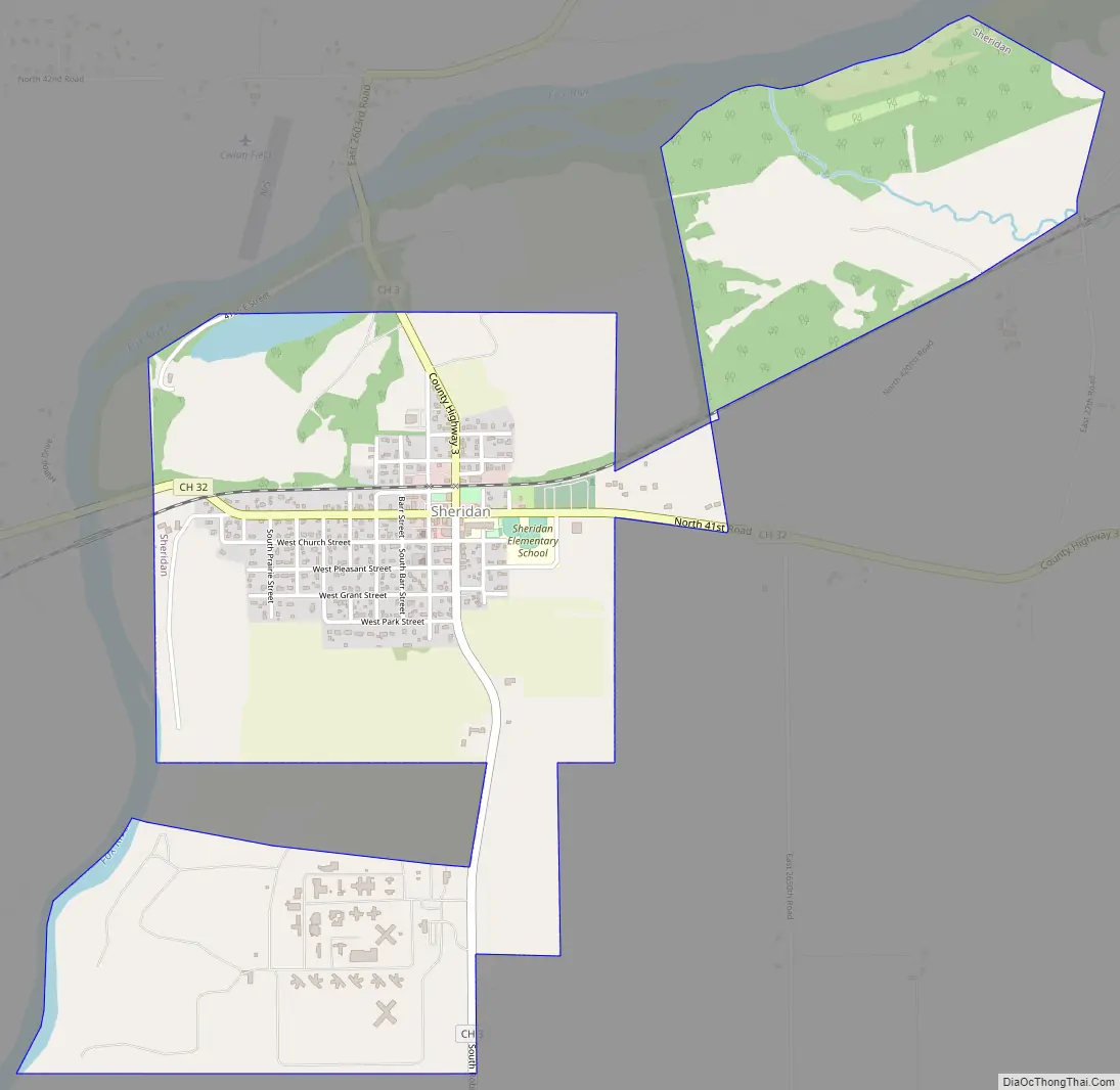
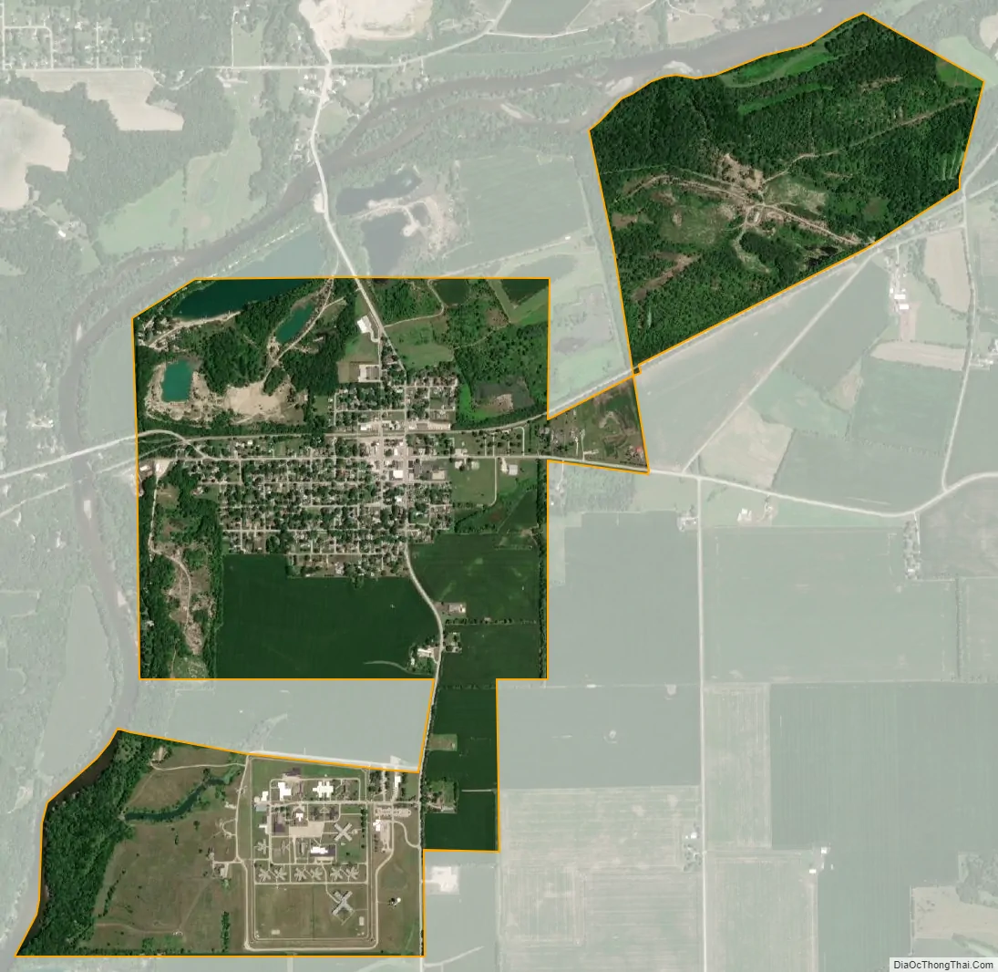
Sheridan city Satellite Map
Geography
According to the 2021 census gazetteer files, Sheridan has a total area of 2.16 square miles (5.59 km), of which 2.12 square miles (5.49 km) (or 98.29%) is land and 0.04 square miles (0.10 km) (or 1.71%) is water.
The village lies at a bend in the Fox River where Somonauk Creek enters the river, and the Lower Fox River Dells start. It is used as both a launching and retrieval point for canoes going down the river. Canoes generally start upstream in Yorkville, and they generally exit at Ayers Landing, near the community of Wedron. The area of the village, and Mission Township where it sits, is defined by the river’s distinct westward flow, which goes west, then south, then east, then south, and finally winds west again. The unincorporated area of the village resides within the flood plain and valley north of the village, and is within Northville Township while the village itself sits far back from the river, upon a sandstone bluff, which has been mined for sand and gravel. The village’s “Rod and Gun Club” actually sits within one of the old open-pit mines between the village and the northern bridge.
See also
Map of Illinois State and its subdivision:- Adams
- Alexander
- Bond
- Boone
- Brown
- Bureau
- Calhoun
- Carroll
- Cass
- Champaign
- Christian
- Clark
- Clay
- Clinton
- Coles
- Cook
- Crawford
- Cumberland
- De Kalb
- De Witt
- Douglas
- Dupage
- Edgar
- Edwards
- Effingham
- Fayette
- Ford
- Franklin
- Fulton
- Gallatin
- Greene
- Grundy
- Hamilton
- Hancock
- Hardin
- Henderson
- Henry
- Iroquois
- Jackson
- Jasper
- Jefferson
- Jersey
- Jo Daviess
- Johnson
- Kane
- Kankakee
- Kendall
- Knox
- La Salle
- Lake
- Lake Michigan
- Lawrence
- Lee
- Livingston
- Logan
- Macon
- Macoupin
- Madison
- Marion
- Marshall
- Mason
- Massac
- McDonough
- McHenry
- McLean
- Menard
- Mercer
- Monroe
- Montgomery
- Morgan
- Moultrie
- Ogle
- Peoria
- Perry
- Piatt
- Pike
- Pope
- Pulaski
- Putnam
- Randolph
- Richland
- Rock Island
- Saint Clair
- Saline
- Sangamon
- Schuyler
- Scott
- Shelby
- Stark
- Stephenson
- Tazewell
- Union
- Vermilion
- Wabash
- Warren
- Washington
- Wayne
- White
- Whiteside
- Will
- Williamson
- Winnebago
- Woodford
- Alabama
- Alaska
- Arizona
- Arkansas
- California
- Colorado
- Connecticut
- Delaware
- District of Columbia
- Florida
- Georgia
- Hawaii
- Idaho
- Illinois
- Indiana
- Iowa
- Kansas
- Kentucky
- Louisiana
- Maine
- Maryland
- Massachusetts
- Michigan
- Minnesota
- Mississippi
- Missouri
- Montana
- Nebraska
- Nevada
- New Hampshire
- New Jersey
- New Mexico
- New York
- North Carolina
- North Dakota
- Ohio
- Oklahoma
- Oregon
- Pennsylvania
- Rhode Island
- South Carolina
- South Dakota
- Tennessee
- Texas
- Utah
- Vermont
- Virginia
- Washington
- West Virginia
- Wisconsin
- Wyoming