Somonauk is a village in DeKalb and LaSalle Counties in the U.S. state of Illinois. The population was 1,786 at the 2020 Census, down from 1,893 at the 2010 Census.
The DeKalb County portion of Somonauk is part of the Chicago-Naperville-Elgin, IL-IN-WI Metropolitan Statistical Area, while the small portion that lies in LaSalle County is part of the Ottawa, IL Micropolitan Statistical Area.
| Name: | Somonauk village |
|---|---|
| LSAD Code: | 47 |
| LSAD Description: | village (suffix) |
| State: | Illinois |
| County: | DeKalb County, LaSalle County |
| Elevation: | 686 ft (209 m) |
| Total Area: | 2.49 sq mi (6.46 km²) |
| Land Area: | 2.49 sq mi (6.44 km²) |
| Water Area: | 0.01 sq mi (0.02 km²) |
| Total Population: | 1,786 |
| Population Density: | 717.85/sq mi (277.22/km²) |
| FIPS code: | 1770460 |
| GNISfeature ID: | 2399838 |
| Website: | www.vil.somonauk.il.us |
Online Interactive Map
Click on ![]() to view map in "full screen" mode.
to view map in "full screen" mode.
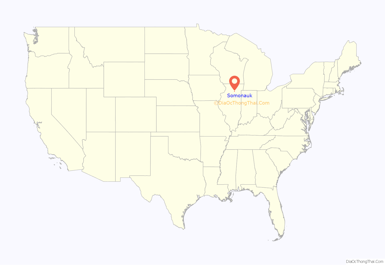
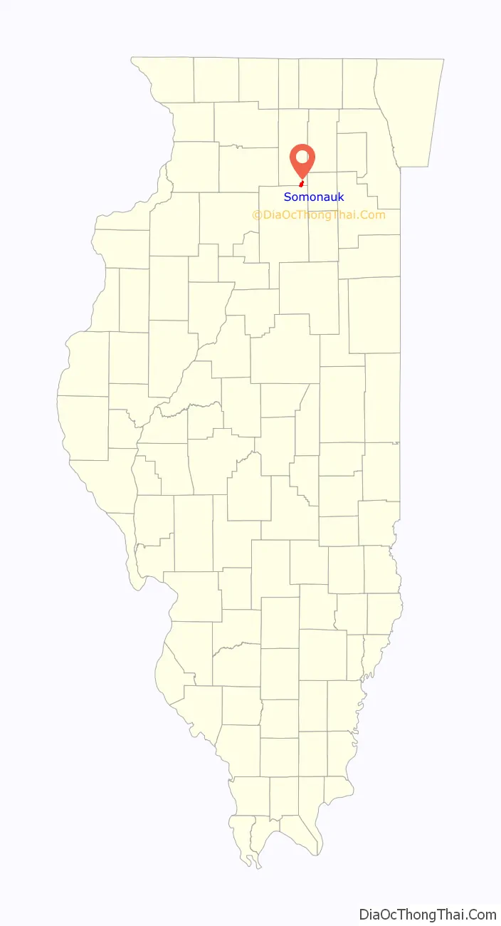
Somonauk location map. Where is Somonauk village?
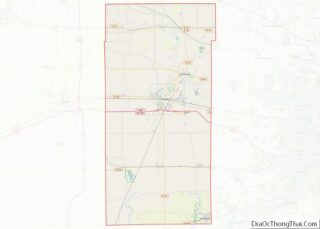
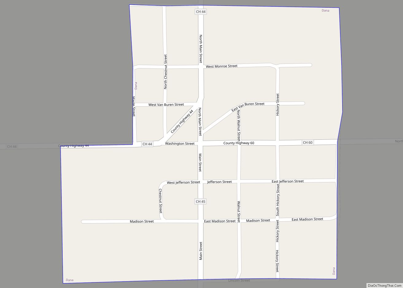
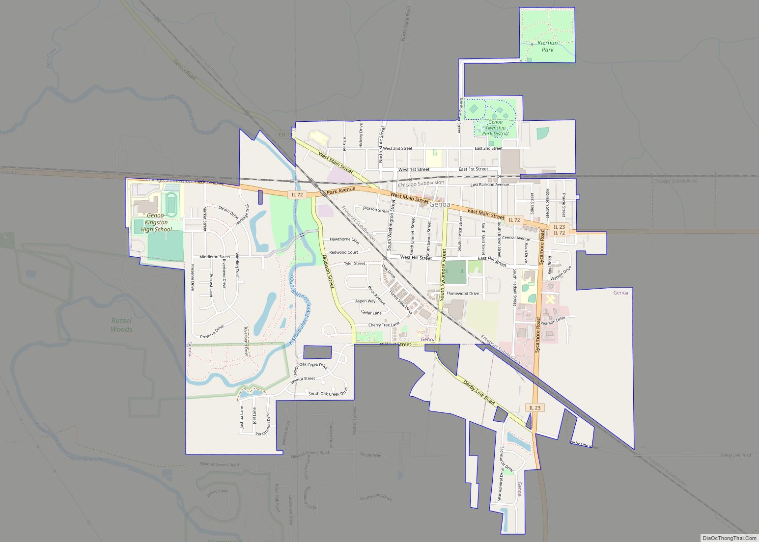
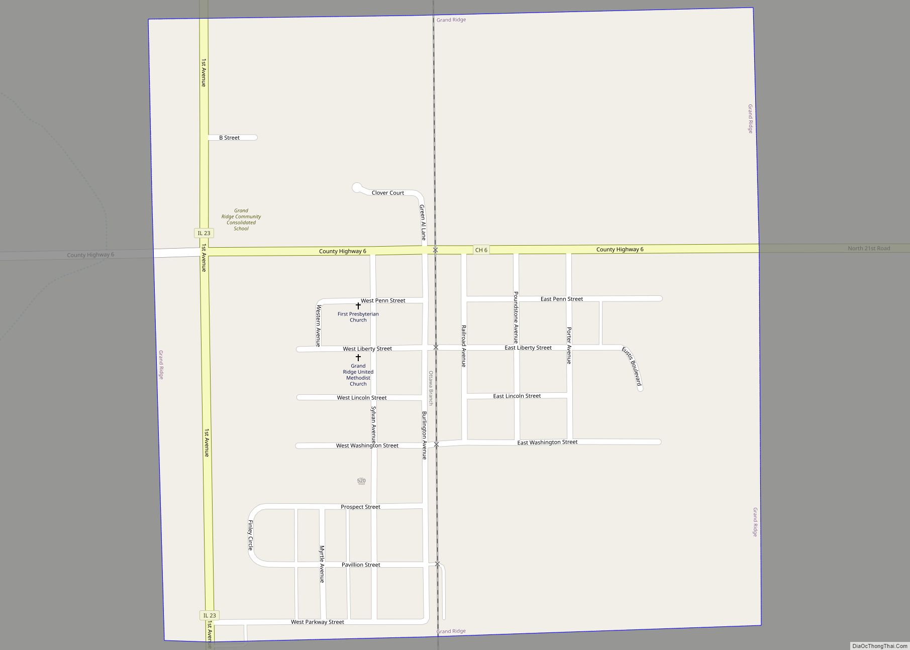
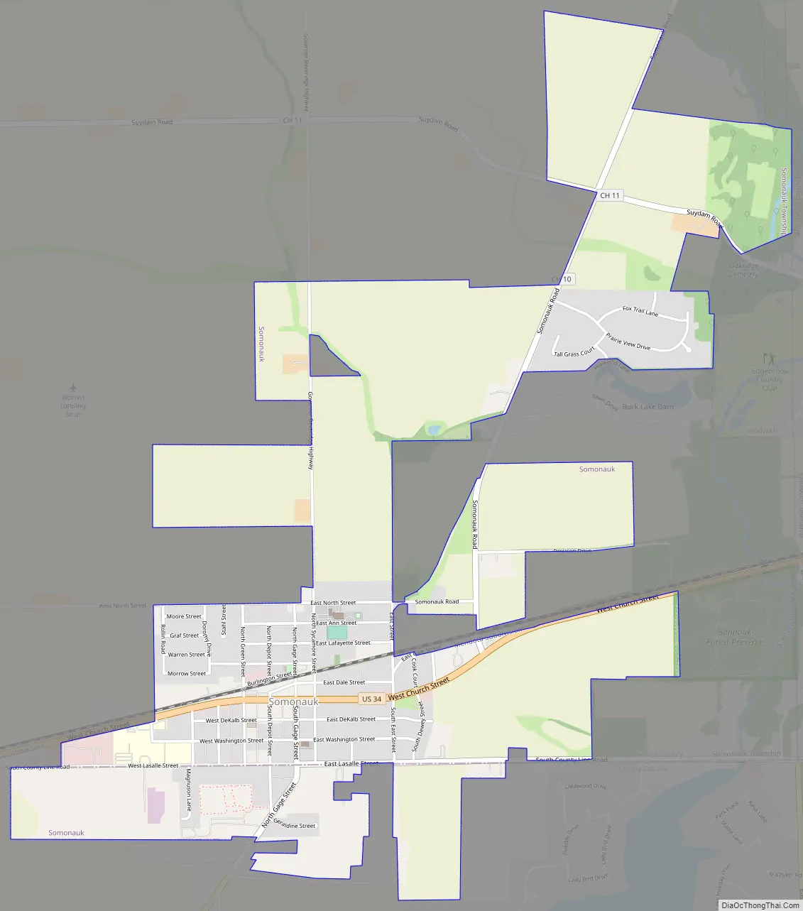
Somonauk Road Map
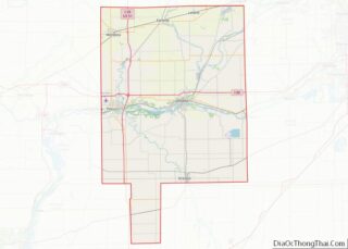
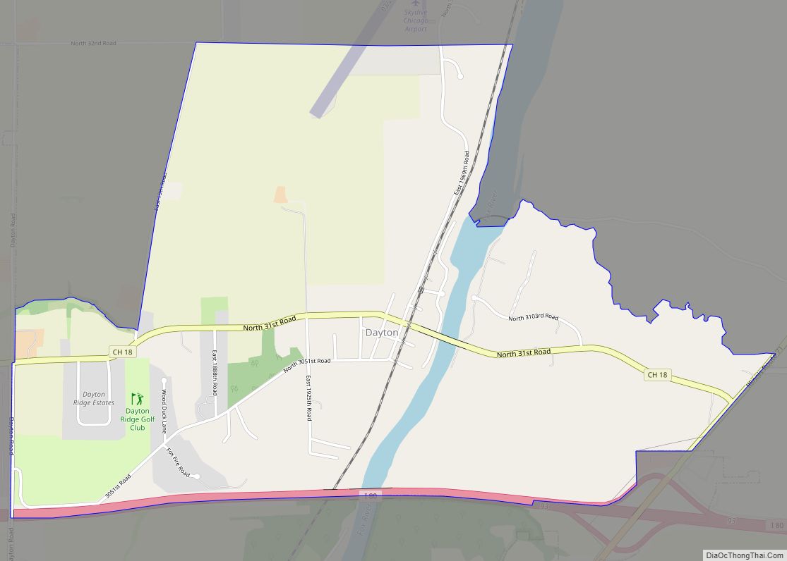
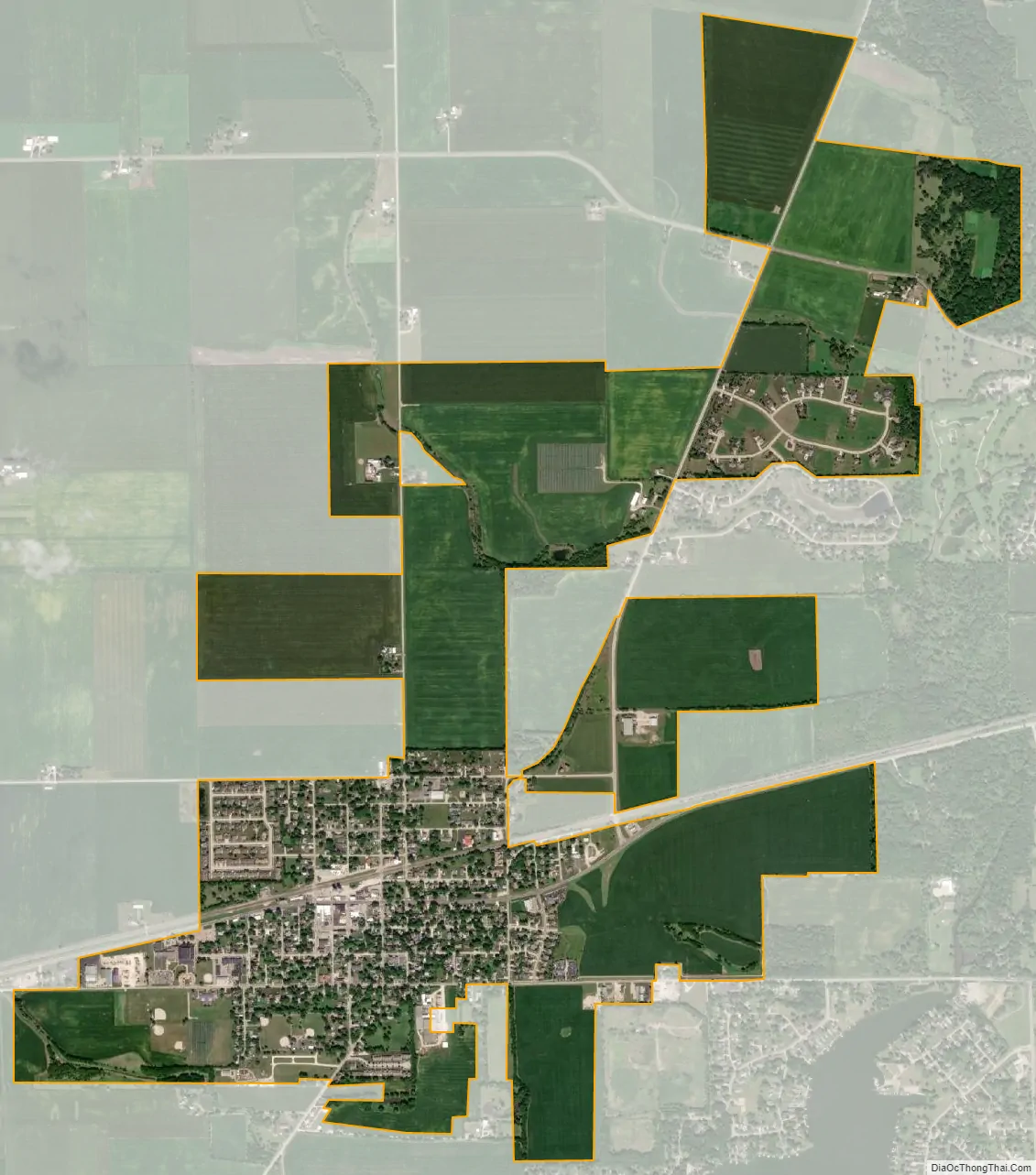
Somonauk city Satellite Map
Geography
Somonauk is located at 41°37′58″N 88°41′11″W / 41.63278°N 88.68639°W / 41.63278; -88.68639 (41.6327194, -88.6865175). The village is situated along the boundary between DeKalb and LaSalle counties. In the 2000 census, 1,190 of Somonauk’s 1,295 residents (91.9%) lived in DeKalb County and 105 (8.1%) lived in LaSalle County.
According to the 2021 census gazetteer files, Somonauk has a total area of 2.49 square miles (6.45 km), of which 2.49 square miles (6.45 km) (or 99.76%) is land and 0.01 square miles (0.03 km) (or 0.24%) is water.
Sannauk Forest Preserve serves as the unofficial boundary between Somonauk and Sandwich, which resides to the east. The forest preserve, owned and managed by DeKalb County, sits along Somonauk Creek, a tributary of the Fox River.
During the housing bubble of the mid-2000s, a few new subdivisions were planned to be built north of town. When the housing market crashed, the city had already incorporated a large portion of DeKalb county north of town ranging from the Sandwich Township border to Governor Beverage Highway, remaining south of Pratt Road. Since then, no talk has indicated that the subdivisions will be built.
The nearby Lake Holiday area includes a man-made lake created by the damming of Somonauk Creek. An old gravel pit was also flooded and is part of the lake.
See also
Map of Illinois State and its subdivision:- Adams
- Alexander
- Bond
- Boone
- Brown
- Bureau
- Calhoun
- Carroll
- Cass
- Champaign
- Christian
- Clark
- Clay
- Clinton
- Coles
- Cook
- Crawford
- Cumberland
- De Kalb
- De Witt
- Douglas
- Dupage
- Edgar
- Edwards
- Effingham
- Fayette
- Ford
- Franklin
- Fulton
- Gallatin
- Greene
- Grundy
- Hamilton
- Hancock
- Hardin
- Henderson
- Henry
- Iroquois
- Jackson
- Jasper
- Jefferson
- Jersey
- Jo Daviess
- Johnson
- Kane
- Kankakee
- Kendall
- Knox
- La Salle
- Lake
- Lake Michigan
- Lawrence
- Lee
- Livingston
- Logan
- Macon
- Macoupin
- Madison
- Marion
- Marshall
- Mason
- Massac
- McDonough
- McHenry
- McLean
- Menard
- Mercer
- Monroe
- Montgomery
- Morgan
- Moultrie
- Ogle
- Peoria
- Perry
- Piatt
- Pike
- Pope
- Pulaski
- Putnam
- Randolph
- Richland
- Rock Island
- Saint Clair
- Saline
- Sangamon
- Schuyler
- Scott
- Shelby
- Stark
- Stephenson
- Tazewell
- Union
- Vermilion
- Wabash
- Warren
- Washington
- Wayne
- White
- Whiteside
- Will
- Williamson
- Winnebago
- Woodford
- Alabama
- Alaska
- Arizona
- Arkansas
- California
- Colorado
- Connecticut
- Delaware
- District of Columbia
- Florida
- Georgia
- Hawaii
- Idaho
- Illinois
- Indiana
- Iowa
- Kansas
- Kentucky
- Louisiana
- Maine
- Maryland
- Massachusetts
- Michigan
- Minnesota
- Mississippi
- Missouri
- Montana
- Nebraska
- Nevada
- New Hampshire
- New Jersey
- New Mexico
- New York
- North Carolina
- North Dakota
- Ohio
- Oklahoma
- Oregon
- Pennsylvania
- Rhode Island
- South Carolina
- South Dakota
- Tennessee
- Texas
- Utah
- Vermont
- Virginia
- Washington
- West Virginia
- Wisconsin
- Wyoming