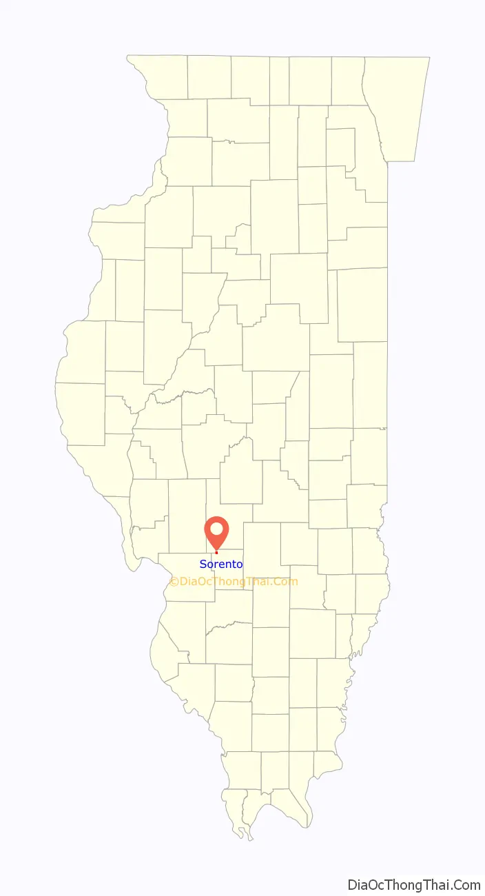
Sorento is a village in Bond County, Illinois, United States. The population was 429 at the 2020 census. Sorento is part of the St. Louis Metropolitan Statistical Area. It is also considered part of the Metro East region of Illinois.
| Name: | Sorento village |
|---|---|
| LSAD Code: | 47 |
| LSAD Description: | village (suffix) |
| State: | Illinois |
| County: | Bond County |
| Founded: | 1882 |
| Elevation: | 584 ft (178 m) |
| Total Area: | 0.80 sq mi (2.07 km²) |
| Land Area: | 0.80 sq mi (2.07 km²) |
| Water Area: | 0.00 sq mi (0.00 km²) |
| Total Population: | 429 |
| Population Density: | 537.59/sq mi (207.67/km²) |
| Area code: | 217 |
| FIPS code: | 1770525 |
| GNISfeature ID: | 2399839 |
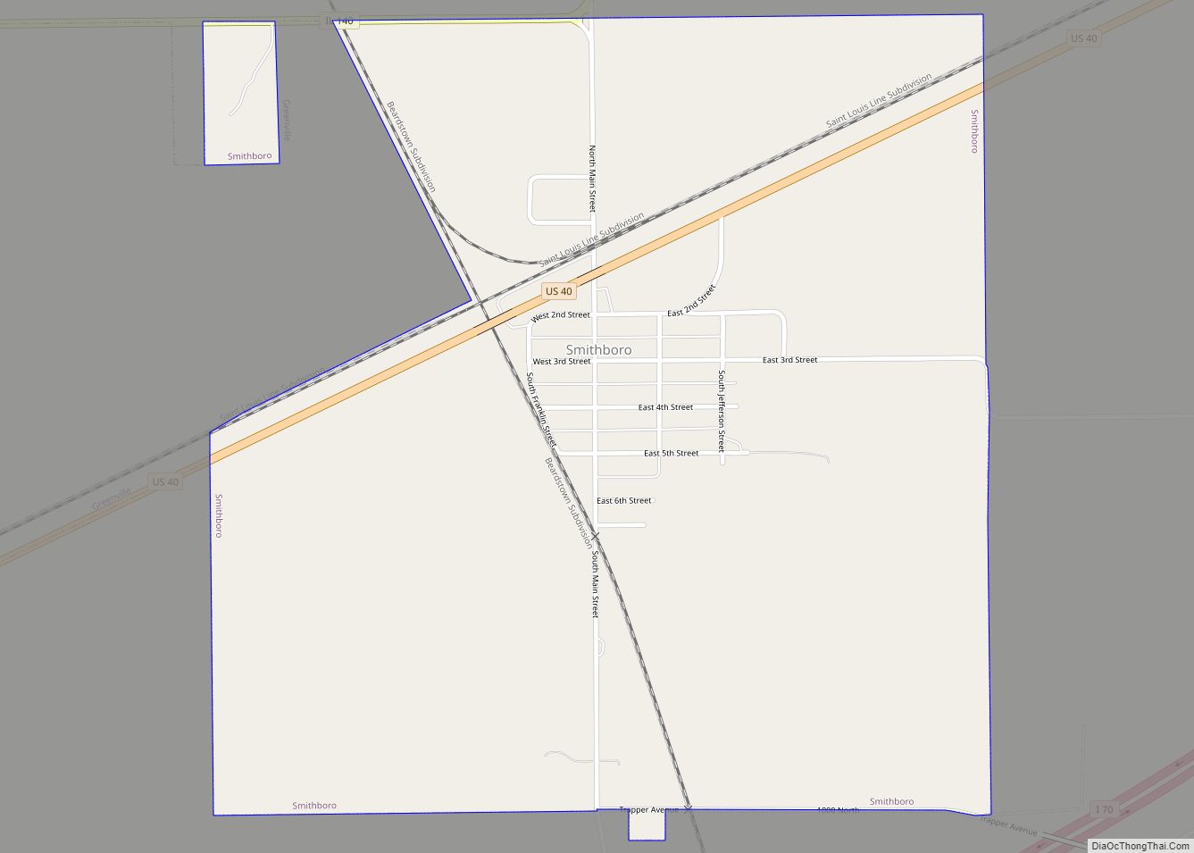
Online Interactive Map
Click on ![]() to view map in "full screen" mode.
to view map in "full screen" mode.
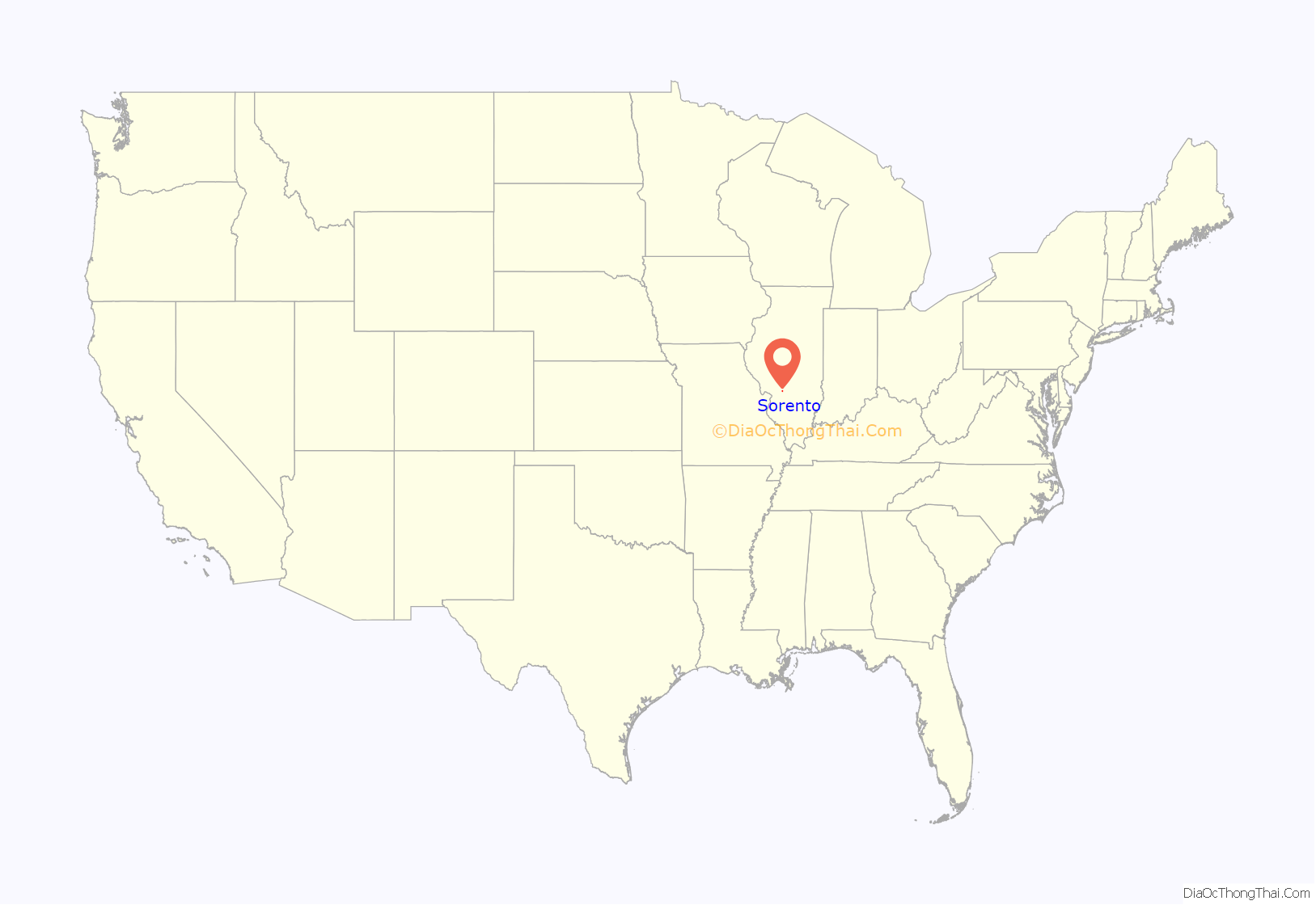
Sorento location map. Where is Sorento village?
History
Sorento was founded as a village in 1882. The town was laid out and platted on August 15, 1882 by August H. Scharf, a local farmer and businessman, and his father, William Scharf. They named the town Sorento after Sorrento, Florida, a town they had once visited. The town grew quickly and by the end of 1883 there were over 500 residents.
The Sorento Coal Mine opened in 1883 and was in operation until March 31, 1914.
Charles Lindbergh is known to have landed in fields just outside Sorento while preparing for his solo transatlantic flight.
Jimmy Swaggart preached at the Sorento Assembly of God church in the early 1960s.
Famed cave explorer Floyd Collins is known to have visited Sorento and explored caves in the region during the early 1900s.
Sorento Road Map
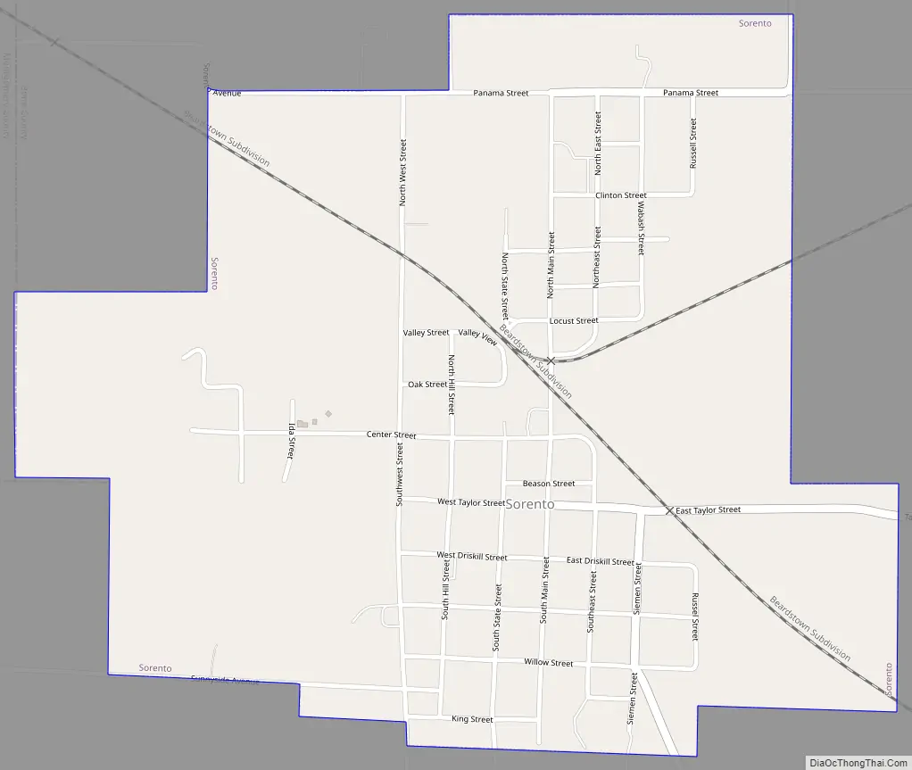
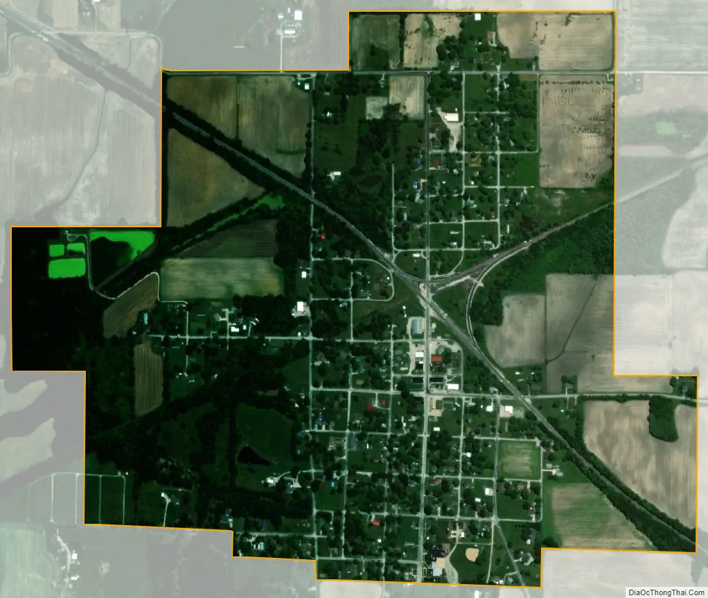
Sorento city Satellite Map
Geography
According to the 2021 census gazetteer files, Sorento has a total area of 0.80 square miles (2.07 km), all land.
See also
Map of Illinois State and its subdivision:- Adams
- Alexander
- Bond
- Boone
- Brown
- Bureau
- Calhoun
- Carroll
- Cass
- Champaign
- Christian
- Clark
- Clay
- Clinton
- Coles
- Cook
- Crawford
- Cumberland
- De Kalb
- De Witt
- Douglas
- Dupage
- Edgar
- Edwards
- Effingham
- Fayette
- Ford
- Franklin
- Fulton
- Gallatin
- Greene
- Grundy
- Hamilton
- Hancock
- Hardin
- Henderson
- Henry
- Iroquois
- Jackson
- Jasper
- Jefferson
- Jersey
- Jo Daviess
- Johnson
- Kane
- Kankakee
- Kendall
- Knox
- La Salle
- Lake
- Lake Michigan
- Lawrence
- Lee
- Livingston
- Logan
- Macon
- Macoupin
- Madison
- Marion
- Marshall
- Mason
- Massac
- McDonough
- McHenry
- McLean
- Menard
- Mercer
- Monroe
- Montgomery
- Morgan
- Moultrie
- Ogle
- Peoria
- Perry
- Piatt
- Pike
- Pope
- Pulaski
- Putnam
- Randolph
- Richland
- Rock Island
- Saint Clair
- Saline
- Sangamon
- Schuyler
- Scott
- Shelby
- Stark
- Stephenson
- Tazewell
- Union
- Vermilion
- Wabash
- Warren
- Washington
- Wayne
- White
- Whiteside
- Will
- Williamson
- Winnebago
- Woodford
- Alabama
- Alaska
- Arizona
- Arkansas
- California
- Colorado
- Connecticut
- Delaware
- District of Columbia
- Florida
- Georgia
- Hawaii
- Idaho
- Illinois
- Indiana
- Iowa
- Kansas
- Kentucky
- Louisiana
- Maine
- Maryland
- Massachusetts
- Michigan
- Minnesota
- Mississippi
- Missouri
- Montana
- Nebraska
- Nevada
- New Hampshire
- New Jersey
- New Mexico
- New York
- North Carolina
- North Dakota
- Ohio
- Oklahoma
- Oregon
- Pennsylvania
- Rhode Island
- South Carolina
- South Dakota
- Tennessee
- Texas
- Utah
- Vermont
- Virginia
- Washington
- West Virginia
- Wisconsin
- Wyoming