Standard is a village in Putnam County, Illinois, United States. The population was 220 at the 2010 census, down from 256 in 2000. It is part of the Ottawa Micropolitan Statistical Area.
| Name: | Standard village |
|---|---|
| LSAD Code: | 47 |
| LSAD Description: | village (suffix) |
| State: | Illinois |
| County: | Putnam County |
| Total Area: | 0.71 sq mi (1.84 km²) |
| Land Area: | 0.71 sq mi (1.84 km²) |
| Water Area: | 0.00 sq mi (0.00 km²) 0% |
| Total Population: | 225 |
| Population Density: | 316.46/sq mi (122.12/km²) |
| ZIP code: | 61363 |
| FIPS code: | 1772221 |
Online Interactive Map
Click on ![]() to view map in "full screen" mode.
to view map in "full screen" mode.
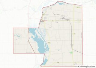
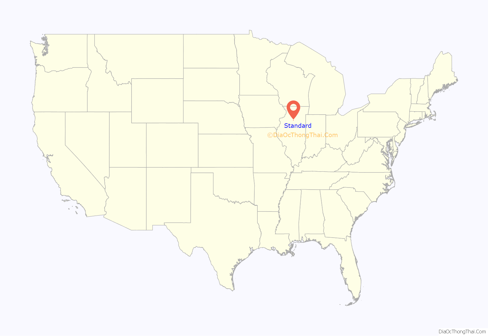
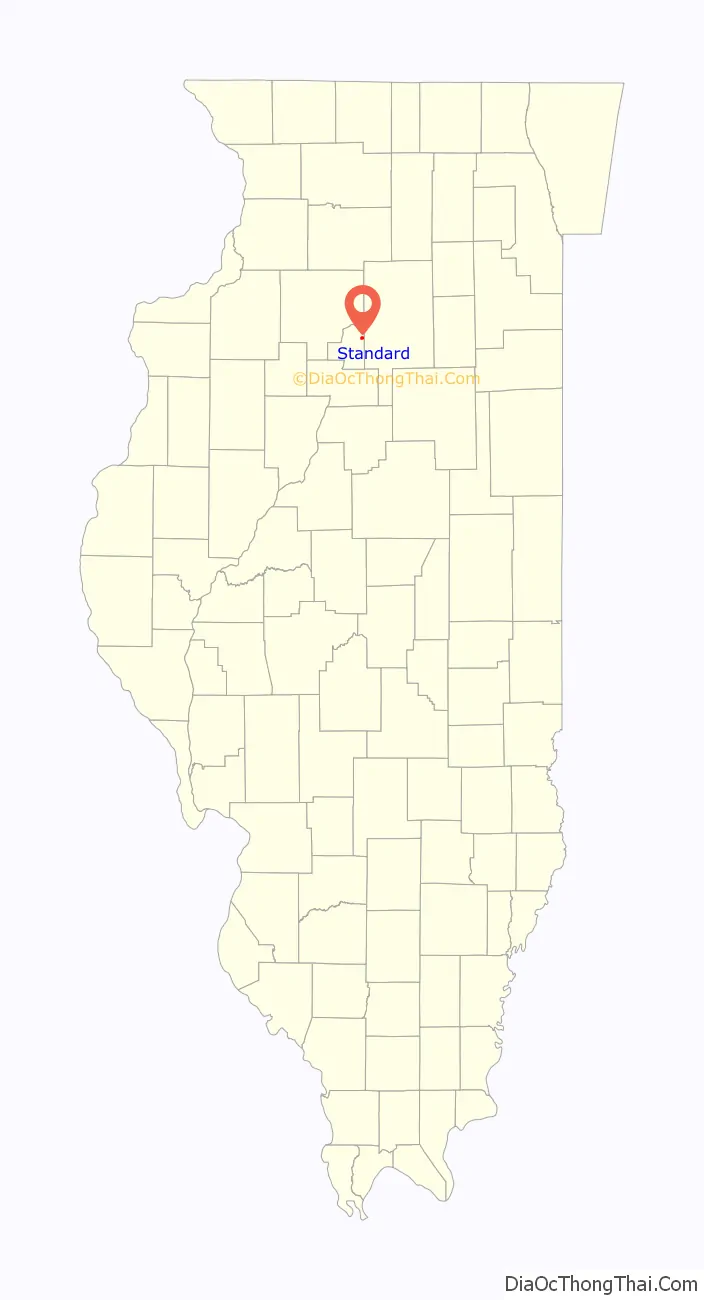
Standard location map. Where is Standard village?
History
The B.F. Berry Coal Company, a division of the Chicago, Milwaukee, and St. Paul Railroad, hired John Cherry in 1905 to sink a new mine. They set up a new railroad between Granville and Oglesby to service the shaft. The village was called Berry until 1908 when it was changed to Taft. Then in 1914 it was renamed Standard because of confusion with another town named Taft. Initially the town was just two large boarding houses for the miners, but later the company built houses for those with families. The mine closed in 1924.
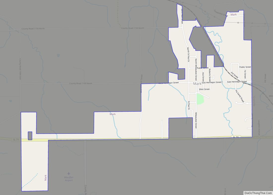
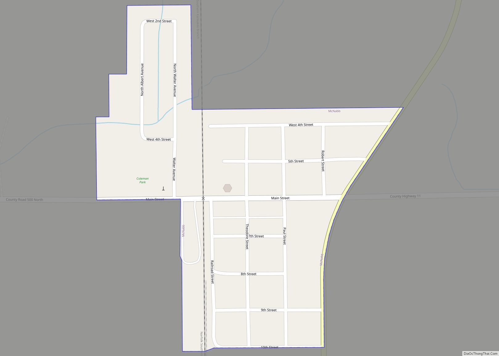
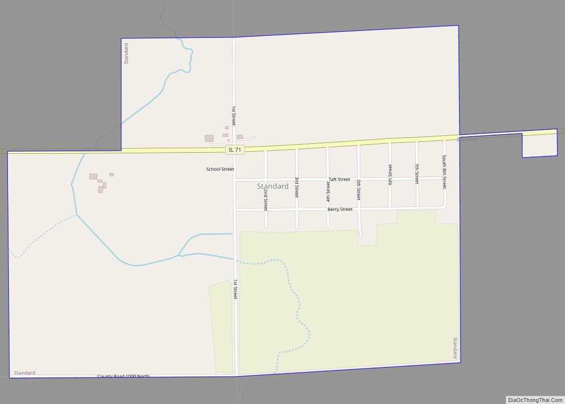
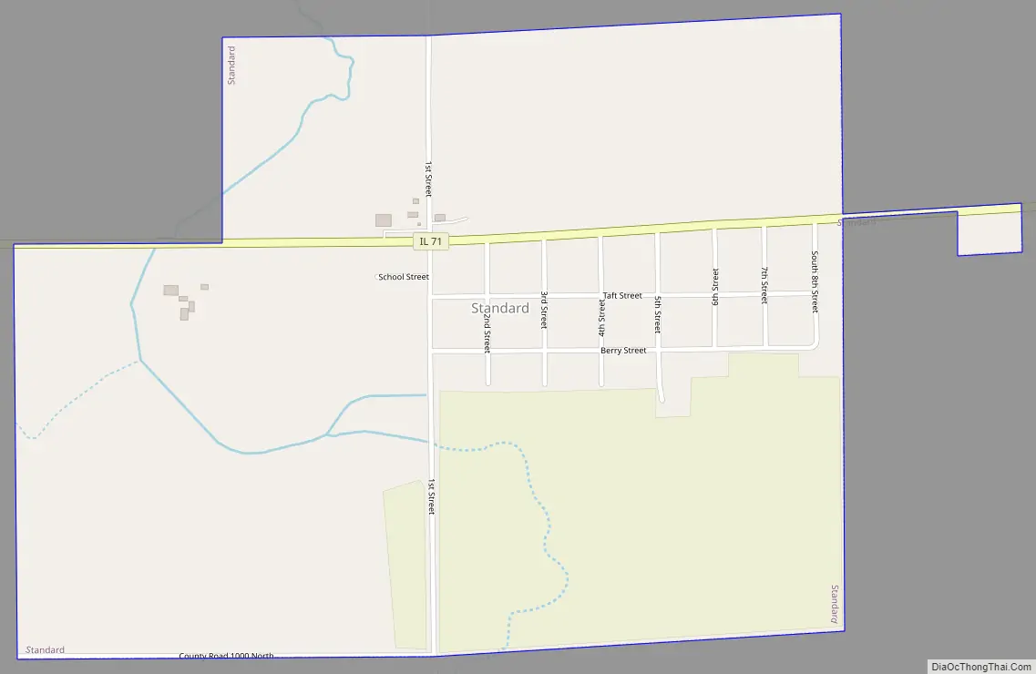
Standard Road Map
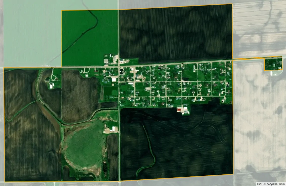
Standard city Satellite Map
Geography
Standard is located at 41°15′23″N 89°10′44″W / 41.25639°N 89.17889°W / 41.25639; -89.17889 (41.256450, -89.179014).
According to the 2010 census, Standard has a total area of 0.7 square miles (1.81 km), all land.
See also
Map of Illinois State and its subdivision:- Adams
- Alexander
- Bond
- Boone
- Brown
- Bureau
- Calhoun
- Carroll
- Cass
- Champaign
- Christian
- Clark
- Clay
- Clinton
- Coles
- Cook
- Crawford
- Cumberland
- De Kalb
- De Witt
- Douglas
- Dupage
- Edgar
- Edwards
- Effingham
- Fayette
- Ford
- Franklin
- Fulton
- Gallatin
- Greene
- Grundy
- Hamilton
- Hancock
- Hardin
- Henderson
- Henry
- Iroquois
- Jackson
- Jasper
- Jefferson
- Jersey
- Jo Daviess
- Johnson
- Kane
- Kankakee
- Kendall
- Knox
- La Salle
- Lake
- Lake Michigan
- Lawrence
- Lee
- Livingston
- Logan
- Macon
- Macoupin
- Madison
- Marion
- Marshall
- Mason
- Massac
- McDonough
- McHenry
- McLean
- Menard
- Mercer
- Monroe
- Montgomery
- Morgan
- Moultrie
- Ogle
- Peoria
- Perry
- Piatt
- Pike
- Pope
- Pulaski
- Putnam
- Randolph
- Richland
- Rock Island
- Saint Clair
- Saline
- Sangamon
- Schuyler
- Scott
- Shelby
- Stark
- Stephenson
- Tazewell
- Union
- Vermilion
- Wabash
- Warren
- Washington
- Wayne
- White
- Whiteside
- Will
- Williamson
- Winnebago
- Woodford
- Alabama
- Alaska
- Arizona
- Arkansas
- California
- Colorado
- Connecticut
- Delaware
- District of Columbia
- Florida
- Georgia
- Hawaii
- Idaho
- Illinois
- Indiana
- Iowa
- Kansas
- Kentucky
- Louisiana
- Maine
- Maryland
- Massachusetts
- Michigan
- Minnesota
- Mississippi
- Missouri
- Montana
- Nebraska
- Nevada
- New Hampshire
- New Jersey
- New Mexico
- New York
- North Carolina
- North Dakota
- Ohio
- Oklahoma
- Oregon
- Pennsylvania
- Rhode Island
- South Carolina
- South Dakota
- Tennessee
- Texas
- Utah
- Vermont
- Virginia
- Washington
- West Virginia
- Wisconsin
- Wyoming