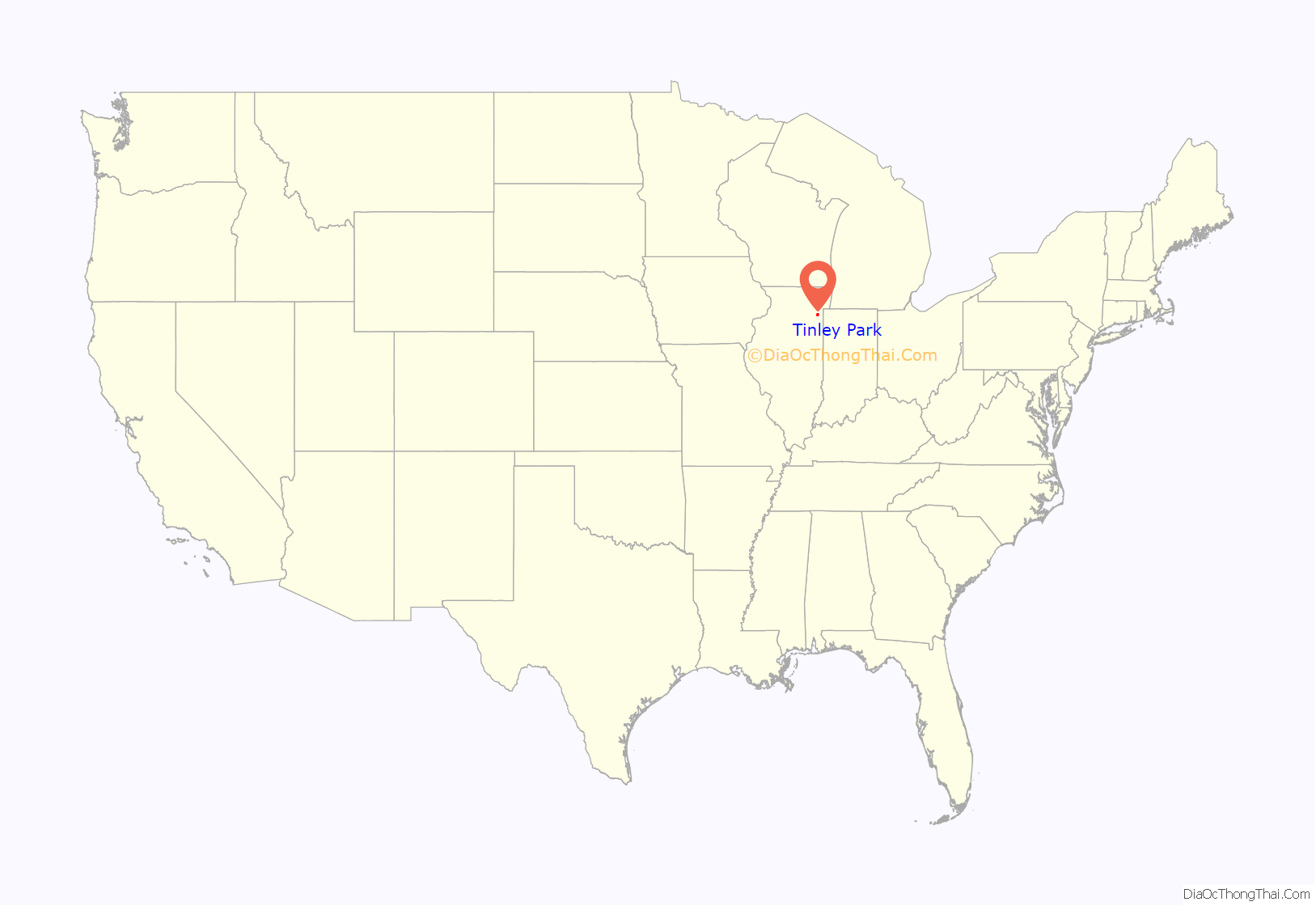
Tinley Park (formerly Bremen) is a village in Cook County, Illinois, United States, with a small portion in Will County. The village is a suburb of Chicago. Per the 2020 census, the population was 55,971. It is one of the fastest growing suburbs southwest of Chicago. In 2009 BusinessWeek named Tinley as the best place in America to raise a family.
| Name: | Tinley Park village |
|---|---|
| LSAD Code: | 47 |
| LSAD Description: | village (suffix) |
| State: | Illinois |
| County: | Cook County, Will County |
| Incorporated: | 1892 |
| Total Area: | 16.13 sq mi (41.78 km²) |
| Land Area: | 16.12 sq mi (41.75 km²) |
| Water Area: | 0.01 sq mi (0.03 km²) 0.12% |
| Total Population: | 55,971 |
| Population Density: | 3,472.15/sq mi (1,340.58/km²) |
| Area code: | 708, 815 |
| FIPS code: | 1775484 |
| Website: | www.tinleypark.org |
Online Interactive Map
Click on ![]() to view map in "full screen" mode.
to view map in "full screen" mode.
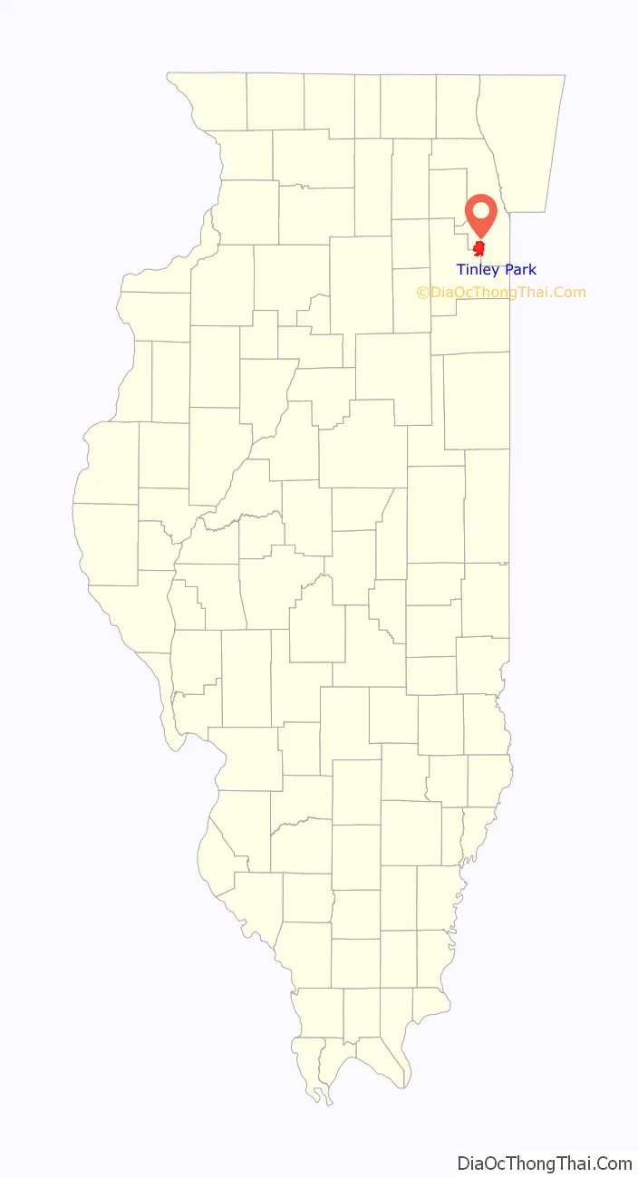
Tinley Park location map. Where is Tinley Park village?
History
19th century
Settlement of the area which now comprises Tinley Park began in the 1820s by emigrants from the Eastern United States. German settlers became predominant in area by the 1840s, and the village was established in 1853. The Village was called Bremen at the time. Irish, English, Scottish, Canadian, and other American settlers were also common in the area.
In the late 19th century, railroads expanded rapidly, and the village happened to be located on the Chicago, Rock Island and Pacific Railroad line. The influence of the railroad on Bremen was so great that, in 1890, its name was changed to Tinley Park in honor of the village’s first railroad station agent, Samuel Tinley, Sr. Even the village’s official incorporation took place at the train depot on June 27, 1892.
20th century
With the railroad came industry and commerce. 1905 saw the Diamond Spiral Washing Machine Company found its first factory in Tinley Park. Local businessmen established an electric utility in 1909. A bottling facility for pop was operated in Tinley Park until the 1950s. Inventor John Rauhoff developed and manufactured a waterproofing additive for cement called Ironite, later used in the construction of Hoover Dam. In 1956, a building was erected for the new Tinley Park Public Library. In the latter part of the 20th century, Tinley Park was, and remains to be, an area of rapid suburban expansion to the west and south of the original site, with over 11,000 housing units constructed between 1970 and 1994.
Today
After its centennial (1992), Tinley Park from the late 20th century to the present has been focused on renovation of its downtown historic district. The historic district is made up of the village’s original 1892 boundaries. In this district, landowners are encouraged to maintain the historic edifices or to create new, historically friendly facades for otherwise non-historic buildings built in the last 30 years.
Downtown renovation projects include the creation of a park near the Oak Park Avenue Metra train station, as well as the recent South Street Project, a multimillion-dollar project that will create more than 220 apartments and 40,000 square feet (4,000 m) of commercial retail space.
The Hollywood Casino Amphitheatre (formerly named “The World Music Theater”, “Tweeter Center Chicago”, and until 2015, “First Midwest Bank Amphitheatre”), an outdoor venue which seats 28,000, is located in Tinley Park.
On February 2, 2008, a mass shooting occurred at Lane Bryant in Brookside Marketplace on the Will County side of the village. The store closed after the shooting.
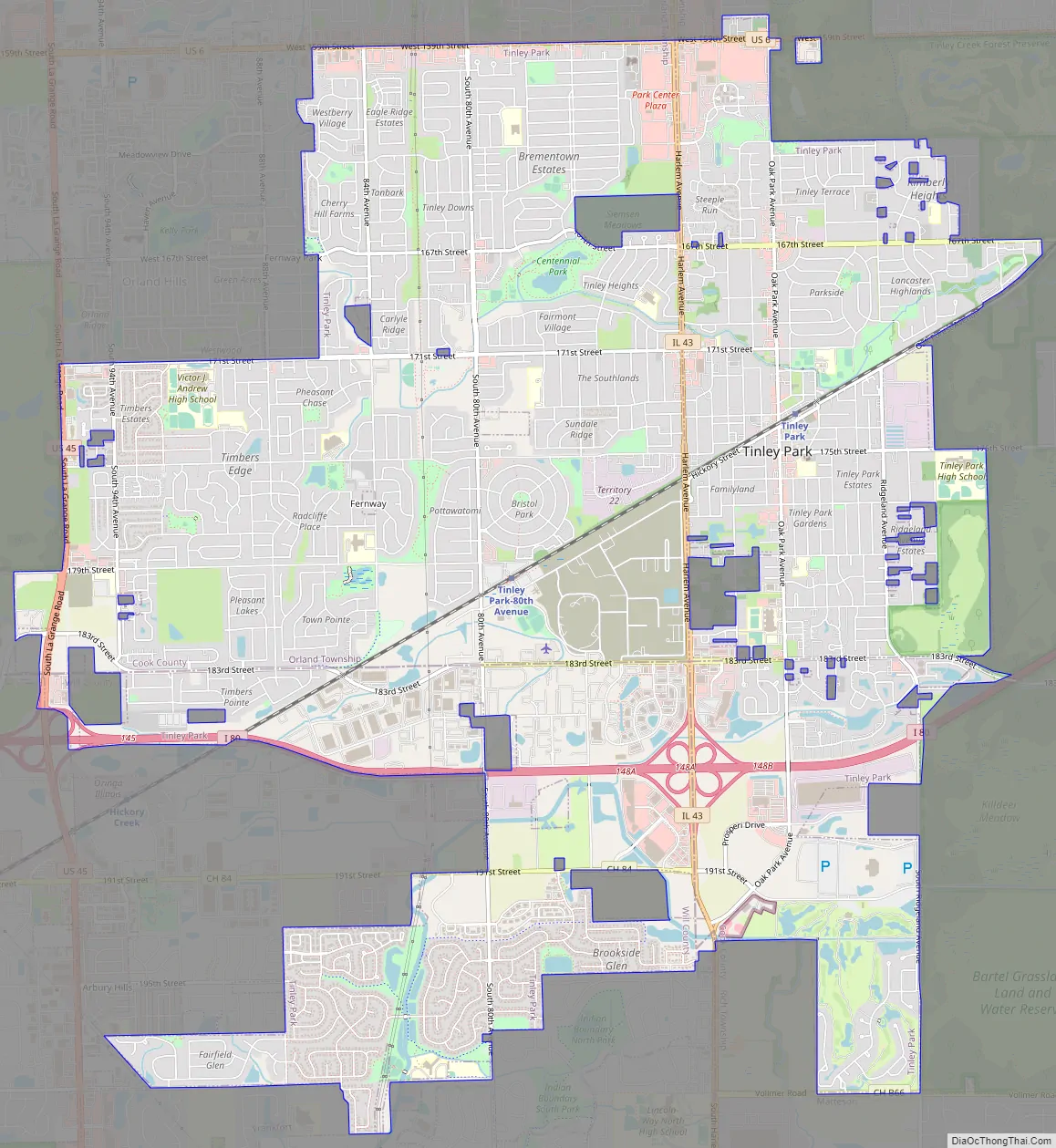
Tinley Park Road Map
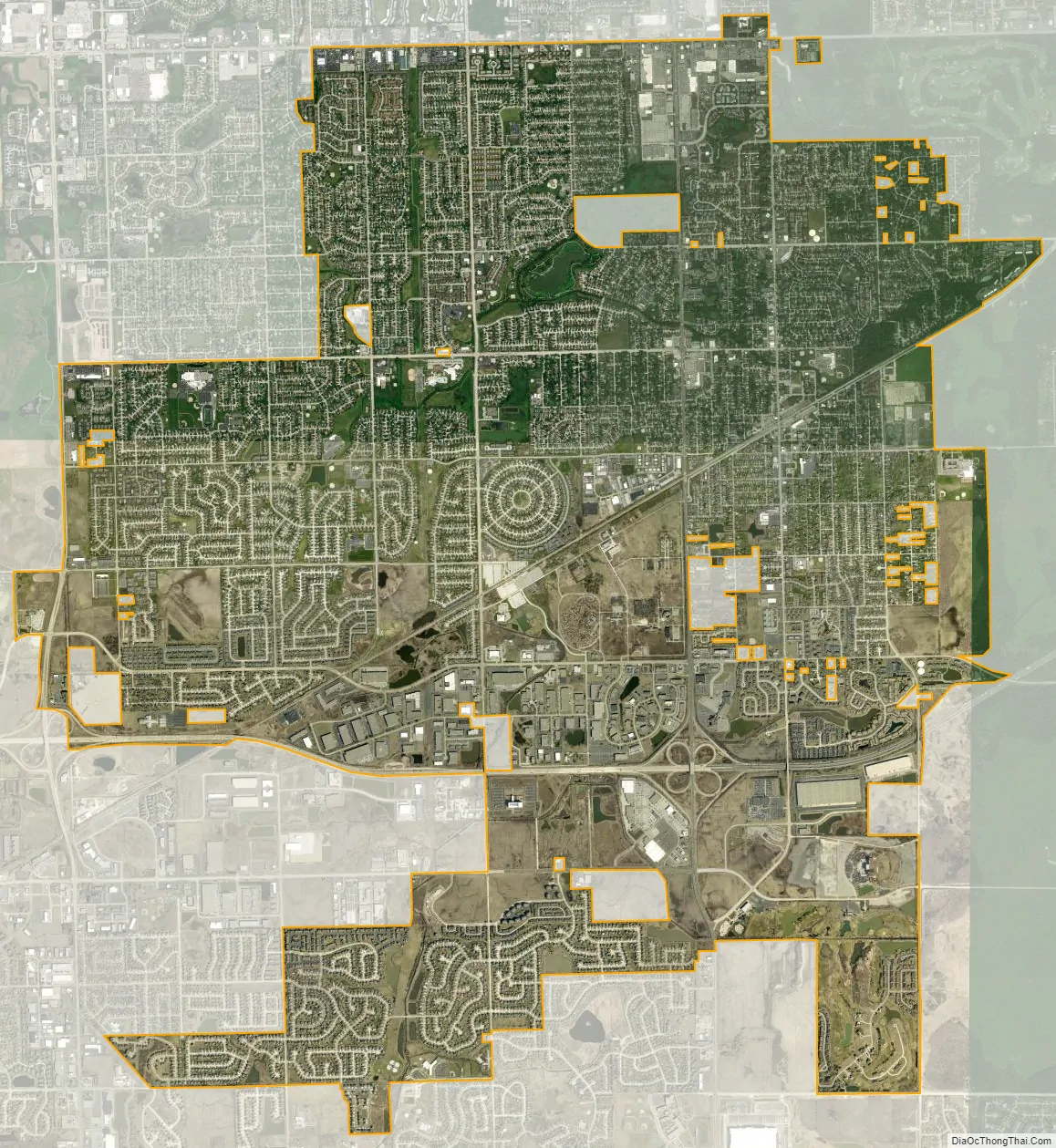
Tinley Park city Satellite Map
Geography
According to the 2021 census gazetteer files, Tinley Park has a total area of 16.13 square miles (41.78 km), of which 16.12 square miles (41.75 km) (or 99.93%) is land and 0.01 square miles (0.03 km) (or 0.07%) is water.
It is bordered by Oak Forest to the northeast, Orland Park to the northwest, Orland Hills and Mokena to the west, Country Club Hills to the east. Matteson to the southeast, Frankfort to the southwest and Frankfort Square to the south.
See also
Map of Illinois State and its subdivision:- Adams
- Alexander
- Bond
- Boone
- Brown
- Bureau
- Calhoun
- Carroll
- Cass
- Champaign
- Christian
- Clark
- Clay
- Clinton
- Coles
- Cook
- Crawford
- Cumberland
- De Kalb
- De Witt
- Douglas
- Dupage
- Edgar
- Edwards
- Effingham
- Fayette
- Ford
- Franklin
- Fulton
- Gallatin
- Greene
- Grundy
- Hamilton
- Hancock
- Hardin
- Henderson
- Henry
- Iroquois
- Jackson
- Jasper
- Jefferson
- Jersey
- Jo Daviess
- Johnson
- Kane
- Kankakee
- Kendall
- Knox
- La Salle
- Lake
- Lake Michigan
- Lawrence
- Lee
- Livingston
- Logan
- Macon
- Macoupin
- Madison
- Marion
- Marshall
- Mason
- Massac
- McDonough
- McHenry
- McLean
- Menard
- Mercer
- Monroe
- Montgomery
- Morgan
- Moultrie
- Ogle
- Peoria
- Perry
- Piatt
- Pike
- Pope
- Pulaski
- Putnam
- Randolph
- Richland
- Rock Island
- Saint Clair
- Saline
- Sangamon
- Schuyler
- Scott
- Shelby
- Stark
- Stephenson
- Tazewell
- Union
- Vermilion
- Wabash
- Warren
- Washington
- Wayne
- White
- Whiteside
- Will
- Williamson
- Winnebago
- Woodford
- Alabama
- Alaska
- Arizona
- Arkansas
- California
- Colorado
- Connecticut
- Delaware
- District of Columbia
- Florida
- Georgia
- Hawaii
- Idaho
- Illinois
- Indiana
- Iowa
- Kansas
- Kentucky
- Louisiana
- Maine
- Maryland
- Massachusetts
- Michigan
- Minnesota
- Mississippi
- Missouri
- Montana
- Nebraska
- Nevada
- New Hampshire
- New Jersey
- New Mexico
- New York
- North Carolina
- North Dakota
- Ohio
- Oklahoma
- Oregon
- Pennsylvania
- Rhode Island
- South Carolina
- South Dakota
- Tennessee
- Texas
- Utah
- Vermont
- Virginia
- Washington
- West Virginia
- Wisconsin
- Wyoming


