Troy Grove is a village in LaSalle County, Illinois, United States. The population was 225 at the 2020 census, down from 250 at the 2010 census. It is part of the Ottawa, IL Micropolitan Statistical Area.
Troy Grove is notable as the birthplace of Wild Bill Hickok and Kate Austin. It is home to the Wild Bill Hickok Memorial. The town also has another connection to the Wild West, as the last reported wild bison killed in Illinois happened near the town in 1837.
Silica sand, a fine white sand used in making glass, is mined in the vicinity of Troy Grove.
| Name: | Troy Grove village |
|---|---|
| LSAD Code: | 47 |
| LSAD Description: | village (suffix) |
| State: | Illinois |
| County: | LaSalle County |
| Incorporated: | April 3rd, 1886 |
| Elevation: | 663 ft (202 m) |
| Total Area: | 0.69 sq mi (1.78 km²) |
| Land Area: | 0.69 sq mi (1.78 km²) |
| Water Area: | 0.00 sq mi (0.00 km²) |
| Total Population: | 225 |
| Population Density: | 327.51/sq mi (126.48/km²) |
| Area code: | Area codes 815 and 779 |
| FIPS code: | 1776225 |
| GNISfeature ID: | 2400005 |
Online Interactive Map
Click on ![]() to view map in "full screen" mode.
to view map in "full screen" mode.
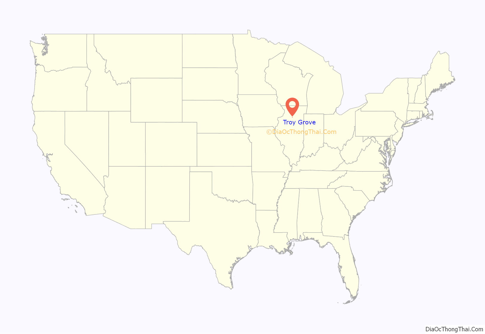
Troy Grove location map. Where is Troy Grove village?
History
Originally laid out as Homer, Illinois, the village was named by an early settler who emigrated from Homer, New York. As the town of Homer, Illinois already had a Post Office, the community took its name from a nearby grove, which was named for an early settler. A Post Office has been in operation under the name of Troy Grove since 1837.
In the early 1830s a sawmill was built which facilitated the construction of a new schoolhouse in 1837. The village grew for several years and was home to several shops and businesses. The first store to open was owned by William Alonzo Hickok, father of Wild Bill Hickok. One of the first Presbyterian churches in the county was founded here in 1849 with a congregation of just 8 members. A gristmill was constructed in 1861
The village was previously served by the Northern Illinois Railroad and the Chicago & Northwestern Railroad. Passenger service was ended in the early 1950s. The railroad is today owned and operated by Union Pacific to haul raw material from the active silica mines.
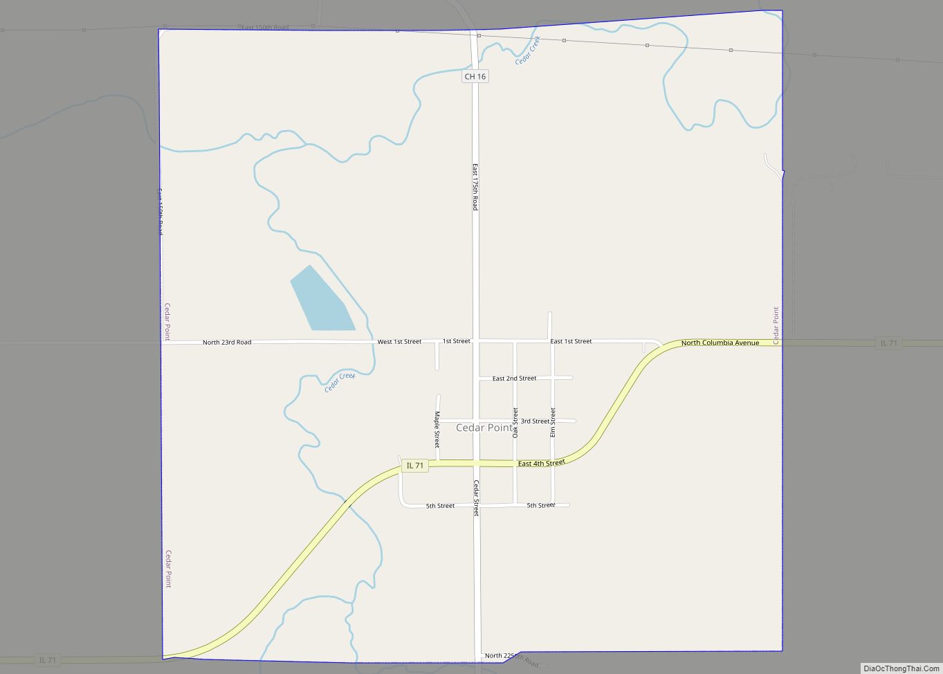
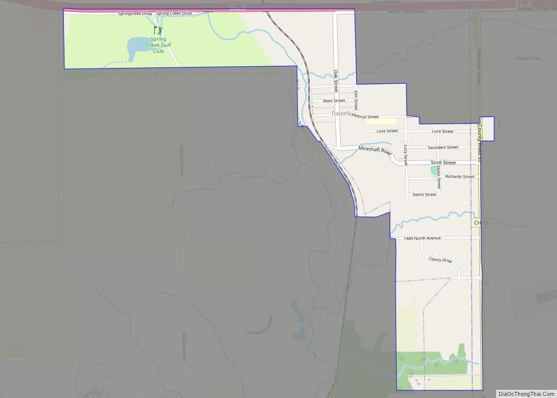
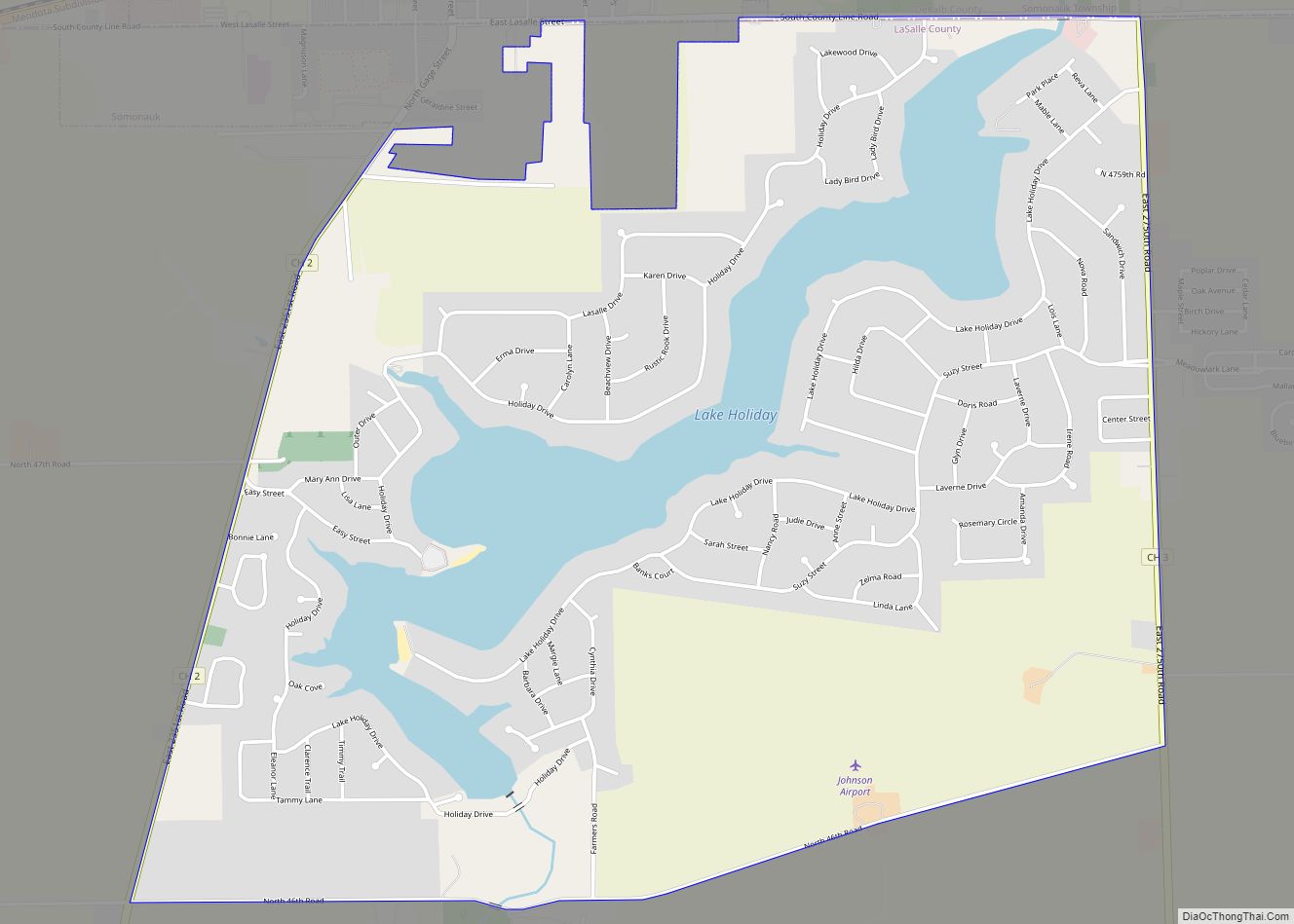
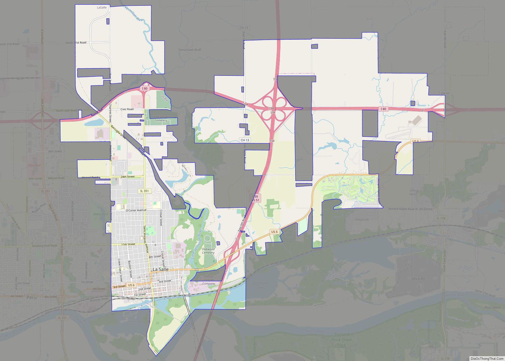
Troy Grove Road Map
Troy Grove city Satellite Map
Geography
Troy Grove is located in northwestern LaSalle County. U.S. Route 52 passes through the north side of the village as North 37th Road; it leads northwest 8 miles (13 km) to Mendota and east 54 miles (87 km) to Joliet. Interstate 39 passes 1.5 miles (2.4 km) east of the village, with access from Exit 66 (US 52). I-39 leads north 62 miles (100 km) to Rockford and south 7 miles (11 km) to Interstate 80 at LaSalle.
According to the 2021 census gazetteer files, Troy Grove has a total area of 0.69 square miles (1.79 km), all land. The Little Vermilion River, a south-flowing tributary of the Illinois River, passes through the southeast corner of the village.
See also
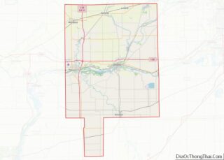
Map of Illinois State and its subdivision:- Adams
- Alexander
- Bond
- Boone
- Brown
- Bureau
- Calhoun
- Carroll
- Cass
- Champaign
- Christian
- Clark
- Clay
- Clinton
- Coles
- Cook
- Crawford
- Cumberland
- De Kalb
- De Witt
- Douglas
- Dupage
- Edgar
- Edwards
- Effingham
- Fayette
- Ford
- Franklin
- Fulton
- Gallatin
- Greene
- Grundy
- Hamilton
- Hancock
- Hardin
- Henderson
- Henry
- Iroquois
- Jackson
- Jasper
- Jefferson
- Jersey
- Jo Daviess
- Johnson
- Kane
- Kankakee
- Kendall
- Knox
- La Salle
- Lake
- Lake Michigan
- Lawrence
- Lee
- Livingston
- Logan
- Macon
- Macoupin
- Madison
- Marion
- Marshall
- Mason
- Massac
- McDonough
- McHenry
- McLean
- Menard
- Mercer
- Monroe
- Montgomery
- Morgan
- Moultrie
- Ogle
- Peoria
- Perry
- Piatt
- Pike
- Pope
- Pulaski
- Putnam
- Randolph
- Richland
- Rock Island
- Saint Clair
- Saline
- Sangamon
- Schuyler
- Scott
- Shelby
- Stark
- Stephenson
- Tazewell
- Union
- Vermilion
- Wabash
- Warren
- Washington
- Wayne
- White
- Whiteside
- Will
- Williamson
- Winnebago
- Woodford
- Alabama
- Alaska
- Arizona
- Arkansas
- California
- Colorado
- Connecticut
- Delaware
- District of Columbia
- Florida
- Georgia
- Hawaii
- Idaho
- Illinois
- Indiana
- Iowa
- Kansas
- Kentucky
- Louisiana
- Maine
- Maryland
- Massachusetts
- Michigan
- Minnesota
- Mississippi
- Missouri
- Montana
- Nebraska
- Nevada
- New Hampshire
- New Jersey
- New Mexico
- New York
- North Carolina
- North Dakota
- Ohio
- Oklahoma
- Oregon
- Pennsylvania
- Rhode Island
- South Carolina
- South Dakota
- Tennessee
- Texas
- Utah
- Vermont
- Virginia
- Washington
- West Virginia
- Wisconsin
- Wyoming
