Villa Grove is a city in Douglas County, Illinois, along the Embarras River. The population was 2,472 at the 2020 census.
| Name: | Villa Grove city |
|---|---|
| LSAD Code: | 25 |
| LSAD Description: | city (suffix) |
| State: | Illinois |
| County: | Douglas County |
| Founded: | 1903 |
| Elevation: | 646 ft (197 m) |
| Total Area: | 1.51 sq mi (3.91 km²) |
| Land Area: | 1.50 sq mi (3.89 km²) |
| Water Area: | 0.01 sq mi (0.02 km²) |
| Total Population: | 2,472 |
| Population Density: | 1,645.81/sq mi (635.64/km²) |
| Area code: | 217 |
| FIPS code: | 1777941 |
| Website: | https://villagrove.org/ |
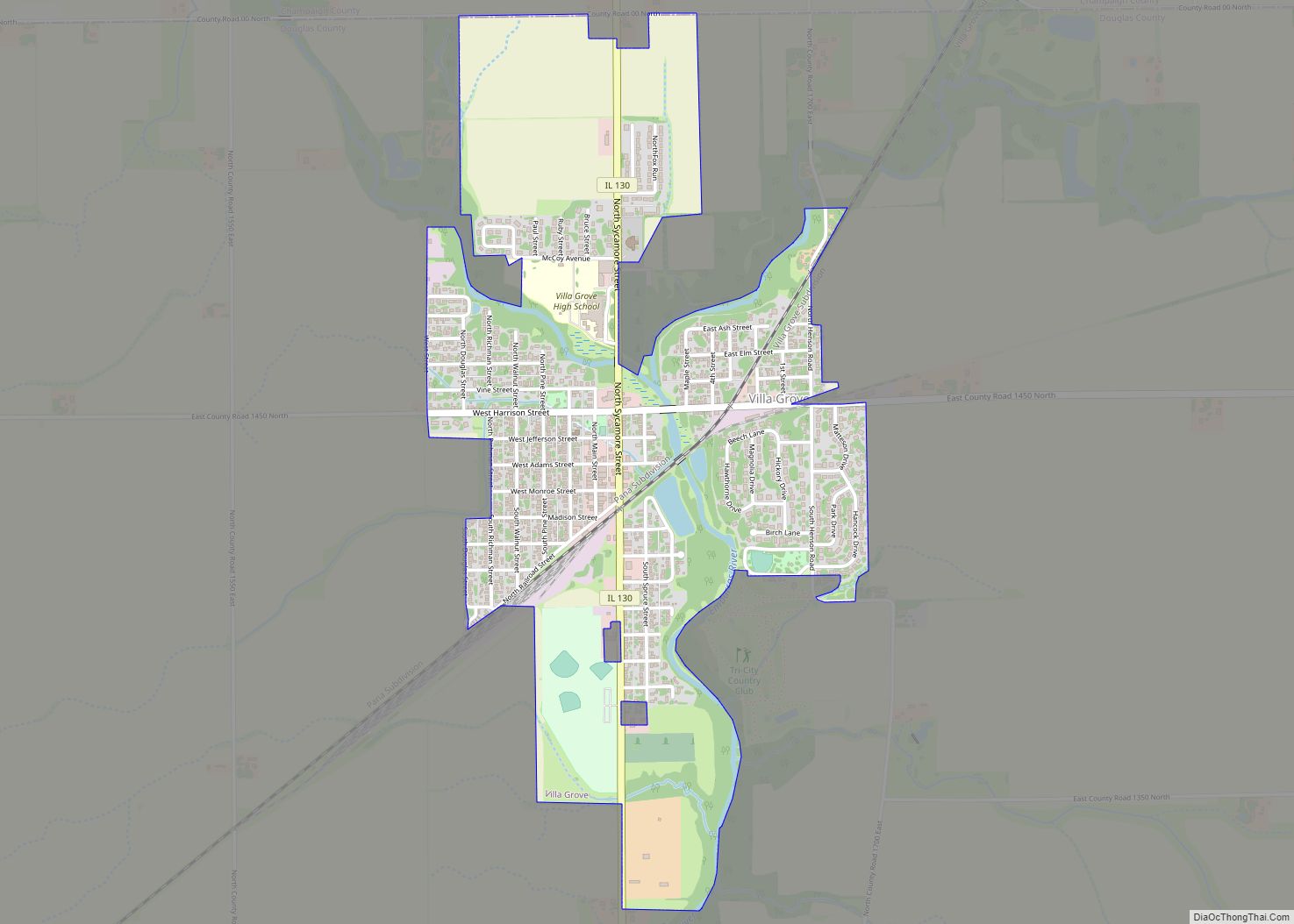
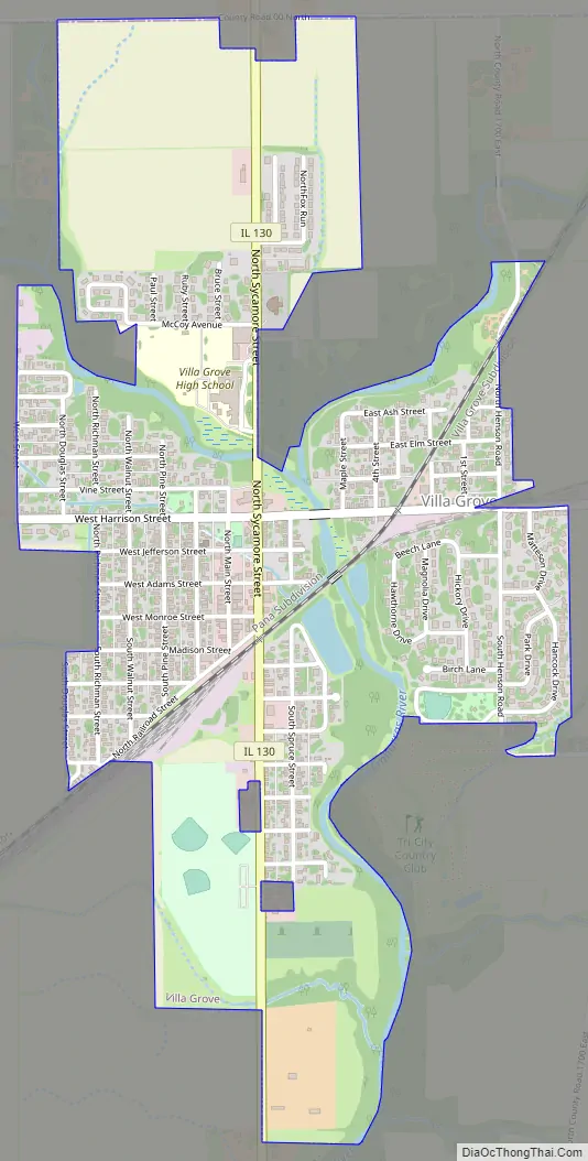
Online Interactive Map
Click on ![]() to view map in "full screen" mode.
to view map in "full screen" mode.
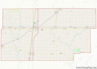
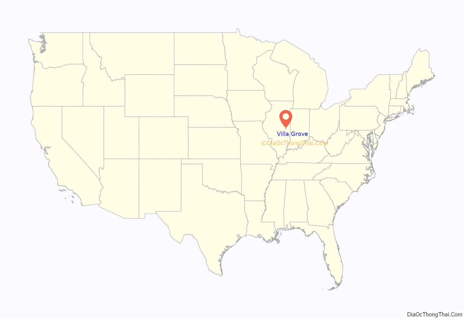
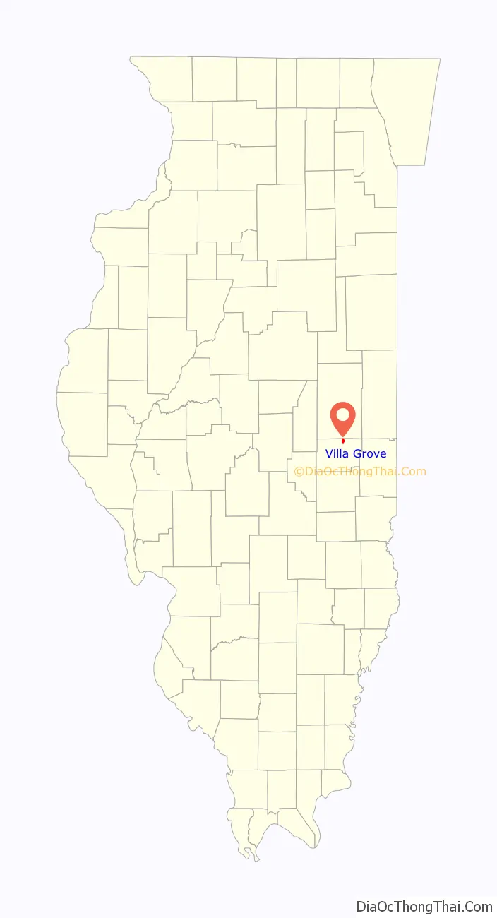
Villa Grove location map. Where is Villa Grove city?
History
Villa Grove was chartered in 1903 after the area was recognized by the Chicago and Eastern Illinois Railroad (C&EI) as being exactly halfway between Chicago and St. Louis. This made it a desirable location for a steam locomotive repair facility. Villa Grove later became the site of a C&EI division headquarters and roundhouse.
Villa Grove was known for its Pancake Festivals in the 1940s, which drew crowds over 10,000. In the 1970s, the festival was replaced by the Ag Days celebration. Ag Days currently offers carnival rides, a car show, a parade, multiple vendors, live music, and a demolition derby.
In 1923, Villa Grove’s high school basketball team, the Blue Devils, defeated Rockford 32–29 to win the Illinois High School Boys Basketball Championship.
Villa Grove’s historic rail depot was demolished in the predawn hours of Friday, October 29, 1976, despite a city ordinance that was intended to protect the structure. The city later received reparation for the destruction.
On August 10, 2011, a 100-year-old vacant building on main street in Villa Grove was destroyed by a fire set by a two boys age 14 and 9. At least 15 fire departments responded to the blaze containing it to the original structure. The boys were ordered to pay $126,076 in restitution. The 14-year-old received 3 years probation, 30 days in jail and 100 hours of community service. The 9 year old received 2 years probation and 50 hours community service. State law prohibited jail time for the 9 year old. Adjacent businesses were temporarily displaced due to damage caused by smoke and heat.
Flooding
Villa Grove’s location at the confluence of Jordan Slough and the Embarras River has resulted in flooding during the city’s history. In January 1950, Villa Grove was isolated by flooding, more than 1/3 of the city was underwater and the Red Cross reported 100 families were homeless. Another flood in April 1994 left over half of the city’s 1,000 homes flooded and the city’s water supply was tainted. At one point, portions of main street were 6 feet underwater.
After the severe flooding in 1994 and additional flooding in the following years, a program was implemented to purchase and demolish homes voluntarily from owners in the flood plain. The Federal Emergency Management Agency (FEMA) and the Illinois Emergency Management Agency (IEMA) used the Hazard Mitigation Grant Program (HMGP) to purchase 17 homes in two phases from 1995 to 2000. IEMA noted that when another flood occurred in June 2008, the 17 properties purchased would have again been flooded had they not been purchased and demolished. Additional plans were also made to purchase more flood prone properties after the 2008 flood. After flooding in April 2013, FEMA again provided funding to purchase and demolish eight more homes and one public building in Villa Grove under HMGP.
These improvements have minimized the amount of area impacted by flooding. In 2021, a new bridge was built on Illinois Route 130 over the river. The new bridge is at a higher elevation and allows for better drainage. These improvements have resulted in significantly less flooding in the area in recent years.
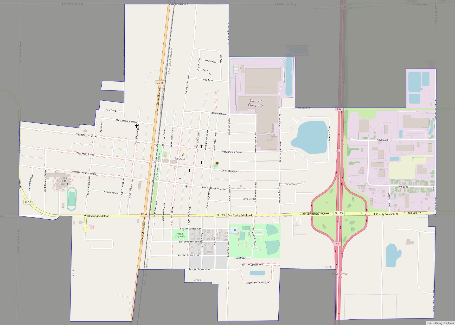
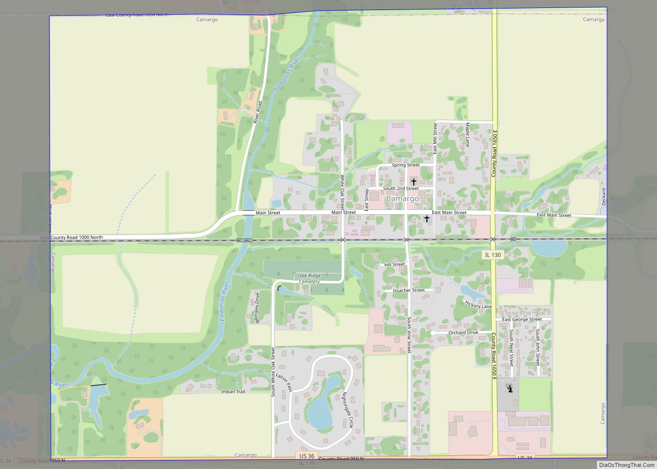
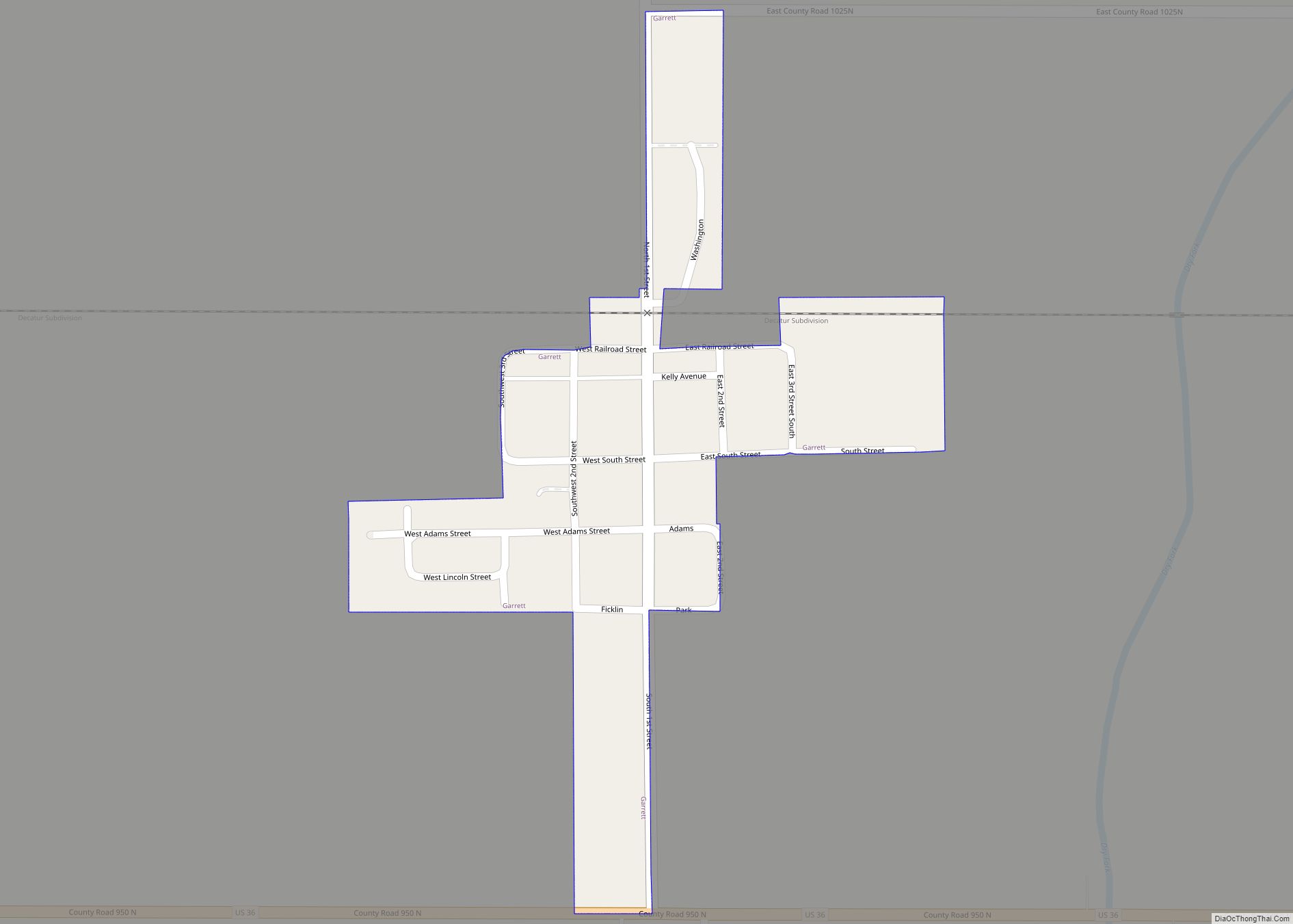
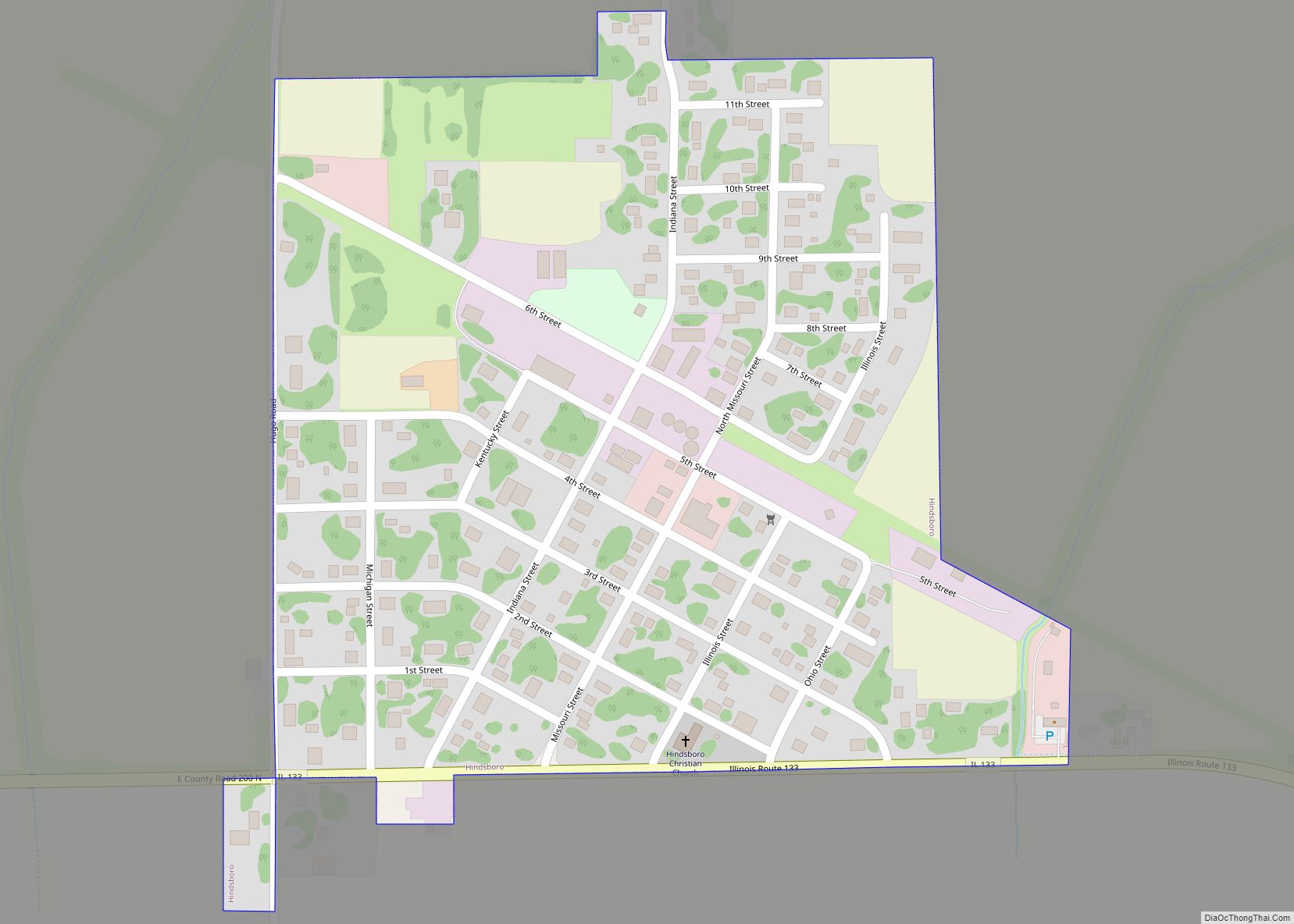
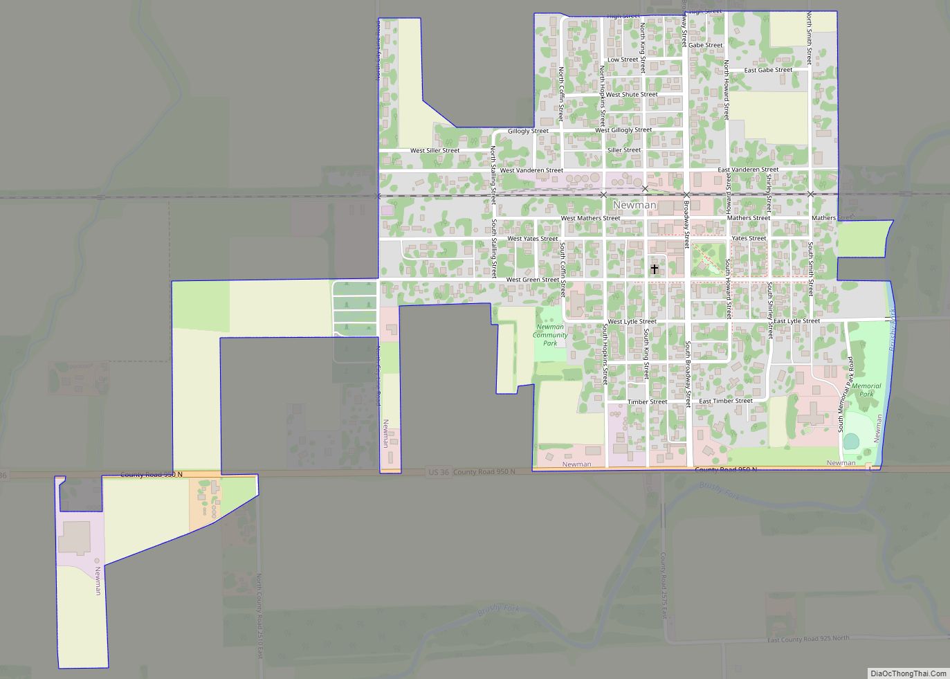
Villa Grove Road Map
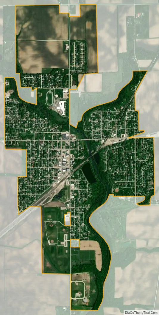
Villa Grove city Satellite Map
Geography
According to the 2021 census gazetteer files, Villa Grove has a total area of 1.51 square miles (3.91 km), of which 1.50 square miles (3.88 km) (or 99.54%) is land and 0.01 square miles (0.03 km) (or 0.46%) is water.
See also
Map of Illinois State and its subdivision:- Adams
- Alexander
- Bond
- Boone
- Brown
- Bureau
- Calhoun
- Carroll
- Cass
- Champaign
- Christian
- Clark
- Clay
- Clinton
- Coles
- Cook
- Crawford
- Cumberland
- De Kalb
- De Witt
- Douglas
- Dupage
- Edgar
- Edwards
- Effingham
- Fayette
- Ford
- Franklin
- Fulton
- Gallatin
- Greene
- Grundy
- Hamilton
- Hancock
- Hardin
- Henderson
- Henry
- Iroquois
- Jackson
- Jasper
- Jefferson
- Jersey
- Jo Daviess
- Johnson
- Kane
- Kankakee
- Kendall
- Knox
- La Salle
- Lake
- Lake Michigan
- Lawrence
- Lee
- Livingston
- Logan
- Macon
- Macoupin
- Madison
- Marion
- Marshall
- Mason
- Massac
- McDonough
- McHenry
- McLean
- Menard
- Mercer
- Monroe
- Montgomery
- Morgan
- Moultrie
- Ogle
- Peoria
- Perry
- Piatt
- Pike
- Pope
- Pulaski
- Putnam
- Randolph
- Richland
- Rock Island
- Saint Clair
- Saline
- Sangamon
- Schuyler
- Scott
- Shelby
- Stark
- Stephenson
- Tazewell
- Union
- Vermilion
- Wabash
- Warren
- Washington
- Wayne
- White
- Whiteside
- Will
- Williamson
- Winnebago
- Woodford
- Alabama
- Alaska
- Arizona
- Arkansas
- California
- Colorado
- Connecticut
- Delaware
- District of Columbia
- Florida
- Georgia
- Hawaii
- Idaho
- Illinois
- Indiana
- Iowa
- Kansas
- Kentucky
- Louisiana
- Maine
- Maryland
- Massachusetts
- Michigan
- Minnesota
- Mississippi
- Missouri
- Montana
- Nebraska
- Nevada
- New Hampshire
- New Jersey
- New Mexico
- New York
- North Carolina
- North Dakota
- Ohio
- Oklahoma
- Oregon
- Pennsylvania
- Rhode Island
- South Carolina
- South Dakota
- Tennessee
- Texas
- Utah
- Vermont
- Virginia
- Washington
- West Virginia
- Wisconsin
- Wyoming