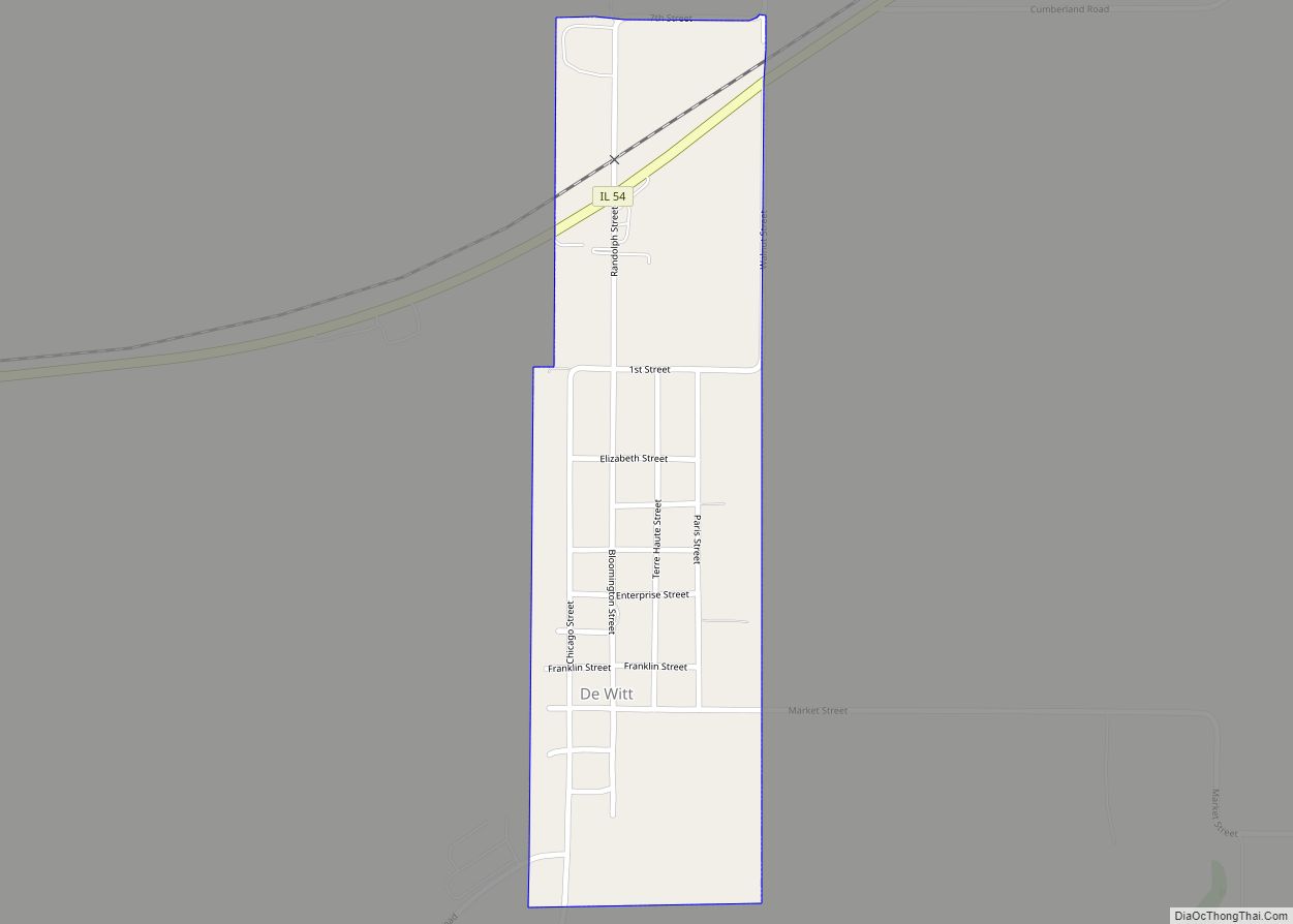
Waynesville is a village in DeWitt County, Illinois, United States. The population was 381 at the 2020 census.
| Name: | Waynesville village |
|---|---|
| LSAD Code: | 47 |
| LSAD Description: | village (suffix) |
| State: | Illinois |
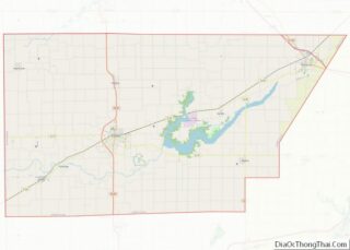
| County: | De Witt County |
| Elevation: | 725 ft (221 m) |
| Total Area: | 0.32 sq mi (0.83 km²) |
| Land Area: | 0.32 sq mi (0.83 km²) |
| Water Area: | 0.00 sq mi (0.00 km²) |
| Total Population: | 381 |
| Population Density: | 1,194.36/sq mi (461.50/km²) |
| Area code: | 217 |
| FIPS code: | 1779449 |
| GNISfeature ID: | 2400118 |
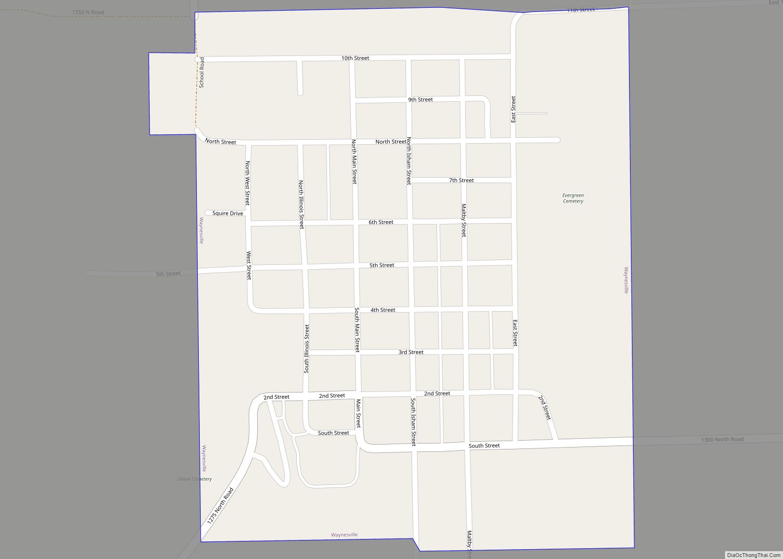
Online Interactive Map
Click on ![]() to view map in "full screen" mode.
to view map in "full screen" mode.
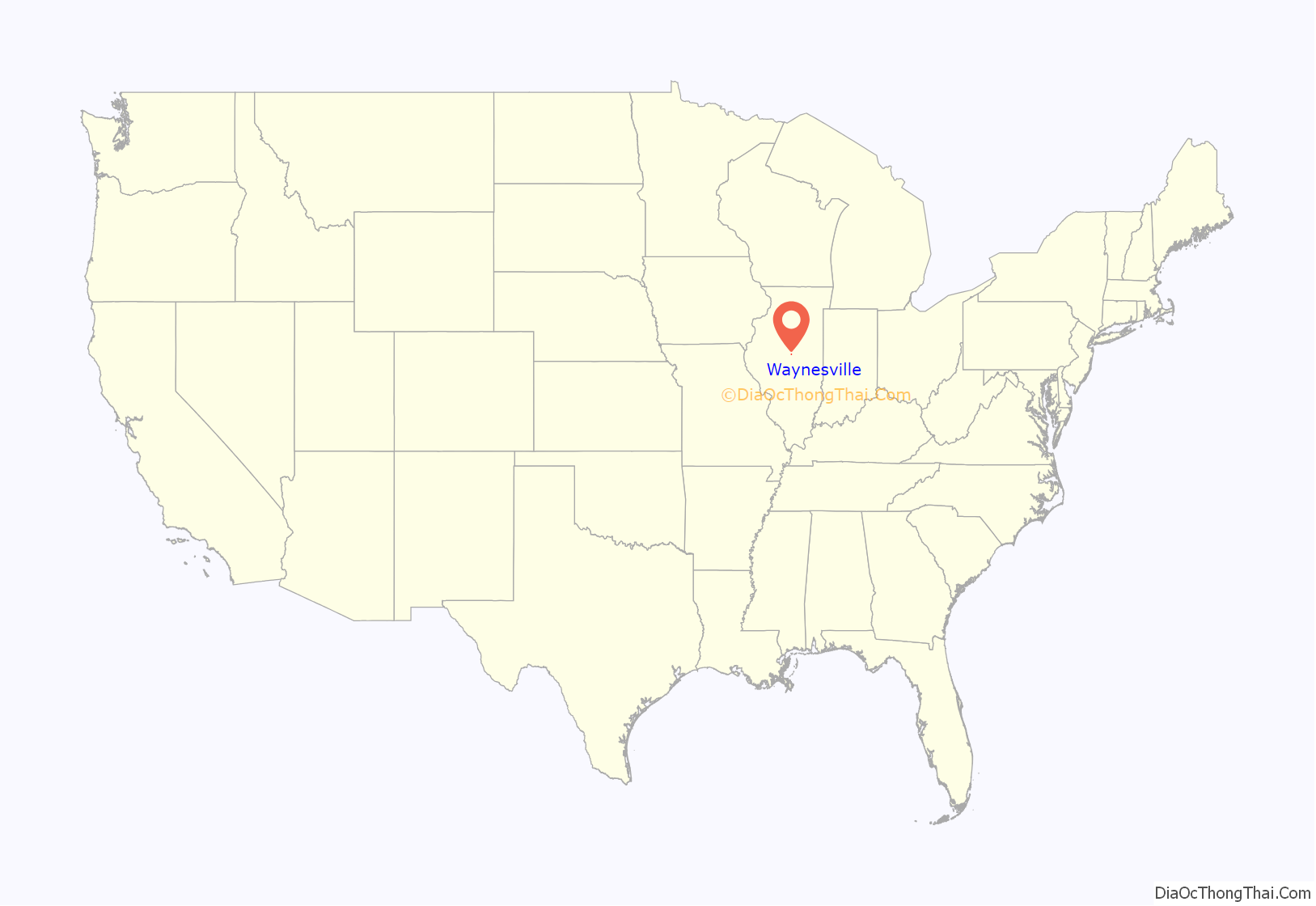
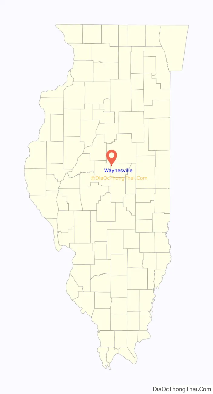
Waynesville location map. Where is Waynesville village?
History
Waynesville is one of the oldest settlements in central Illinois. The area was first settled around 1825, by Prettyman Marvel and his wife, Rebecca (Barr) Marvel. They cleared an area of land near the present location of the village and were followed shortly thereafter by several other settlers. As a result, a small settlement sprung up about a mile south of Kickapoo Creek.
In 1832, the first plats for the village were filed, and the name “Waynesville” (after the hero of the Revolutionary War, General Anthony Wayne) was selected. Town lots were auctioned off, and the sale announced in newspapers. However, economic circumstances meant that few lots were ever built upon. Within two or three decades, the village had reached a population of about 500, a figure where it would remain almost until the present.
Sadly, Waynesville, although one of the first villages in the area, never became a prominent one. When the new county of Dewitt was established in 1839, Waynesville found itself at the far northwest corner, and thus out of the running for county seat. As well, influential politicians in Bloomington and Clinton managed to have the Illinois Central Railroad routed through those cities and bypassing Waynesville. Finally, when the system of state highways was laid out, the village was once again bypassed.
In 1855, Waynesville suffered a cholera outbreak that killed some 50 out of the village’s 150 residents: one of the worst outbreaks of the disease in central Illinois.
Today, Waynesville is a slowly shrinking settlement, as younger people move away and older people die off. It no longer has a school of its own, in fact. Many of the buildings in its “uptown” business district have succumbed to the ravages of time.
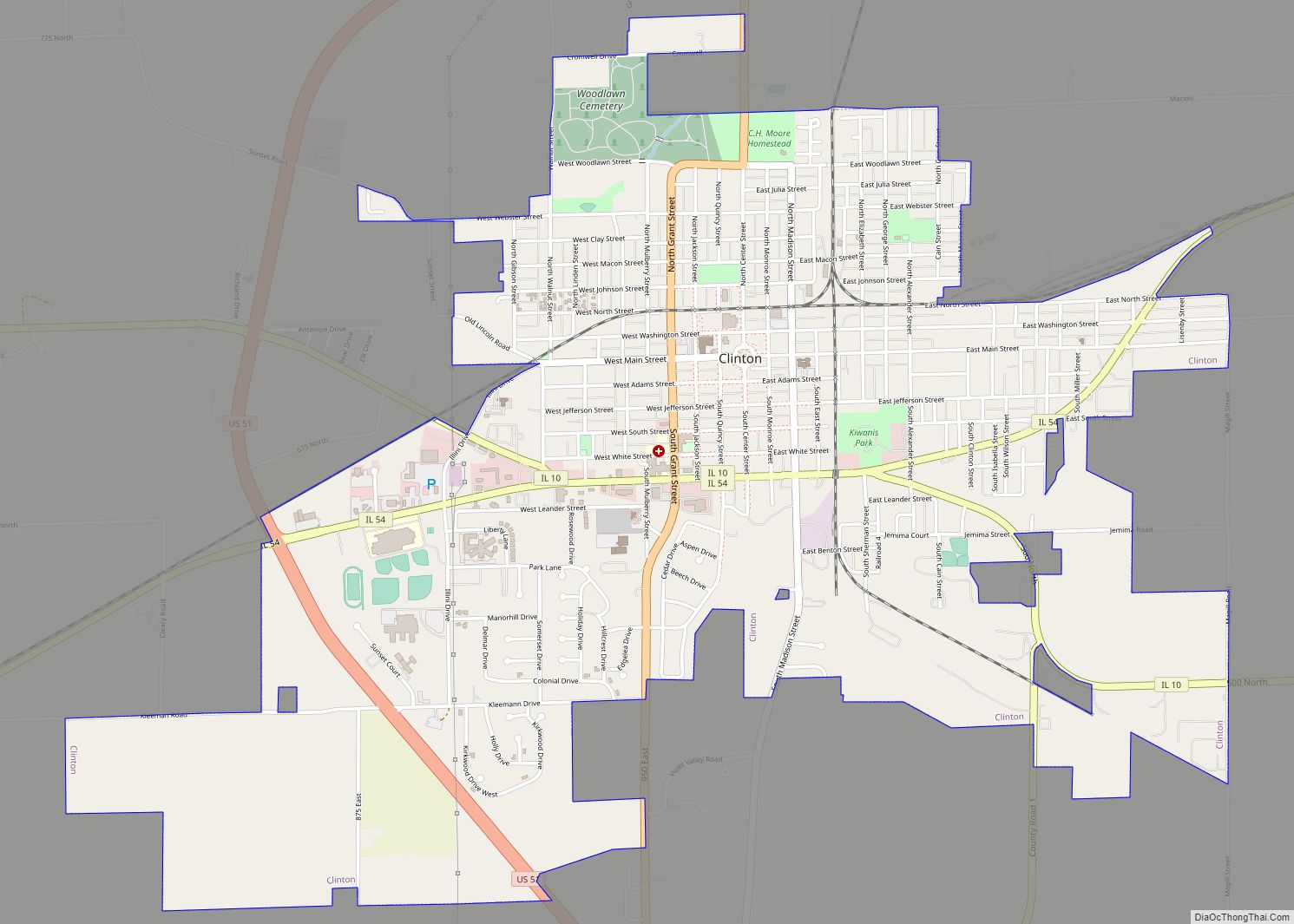
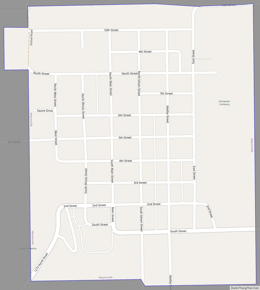
Waynesville Road Map
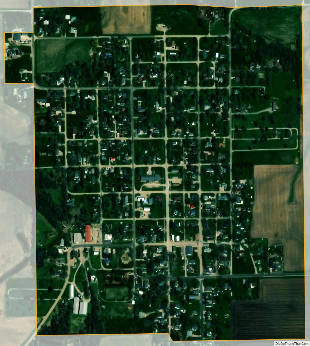
Waynesville city Satellite Map
Geography
According to the 2010 census, Waynesville has a total area of 0.32 square miles (0.83 km), all land.
See also
Map of Illinois State and its subdivision:- Adams
- Alexander
- Bond
- Boone
- Brown
- Bureau
- Calhoun
- Carroll
- Cass
- Champaign
- Christian
- Clark
- Clay
- Clinton
- Coles
- Cook
- Crawford
- Cumberland
- De Kalb
- De Witt
- Douglas
- Dupage
- Edgar
- Edwards
- Effingham
- Fayette
- Ford
- Franklin
- Fulton
- Gallatin
- Greene
- Grundy
- Hamilton
- Hancock
- Hardin
- Henderson
- Henry
- Iroquois
- Jackson
- Jasper
- Jefferson
- Jersey
- Jo Daviess
- Johnson
- Kane
- Kankakee
- Kendall
- Knox
- La Salle
- Lake
- Lake Michigan
- Lawrence
- Lee
- Livingston
- Logan
- Macon
- Macoupin
- Madison
- Marion
- Marshall
- Mason
- Massac
- McDonough
- McHenry
- McLean
- Menard
- Mercer
- Monroe
- Montgomery
- Morgan
- Moultrie
- Ogle
- Peoria
- Perry
- Piatt
- Pike
- Pope
- Pulaski
- Putnam
- Randolph
- Richland
- Rock Island
- Saint Clair
- Saline
- Sangamon
- Schuyler
- Scott
- Shelby
- Stark
- Stephenson
- Tazewell
- Union
- Vermilion
- Wabash
- Warren
- Washington
- Wayne
- White
- Whiteside
- Will
- Williamson
- Winnebago
- Woodford
- Alabama
- Alaska
- Arizona
- Arkansas
- California
- Colorado
- Connecticut
- Delaware
- District of Columbia
- Florida
- Georgia
- Hawaii
- Idaho
- Illinois
- Indiana
- Iowa
- Kansas
- Kentucky
- Louisiana
- Maine
- Maryland
- Massachusetts
- Michigan
- Minnesota
- Mississippi
- Missouri
- Montana
- Nebraska
- Nevada
- New Hampshire
- New Jersey
- New Mexico
- New York
- North Carolina
- North Dakota
- Ohio
- Oklahoma
- Oregon
- Pennsylvania
- Rhode Island
- South Carolina
- South Dakota
- Tennessee
- Texas
- Utah
- Vermont
- Virginia
- Washington
- West Virginia
- Wisconsin
- Wyoming