Williamsfield is a village in Knox County, Illinois, United States. The population was 578 at the 2010 census. It is part of the Galesburg Micropolitan Statistical Area.
| Name: | Williamsfield village |
|---|---|
| LSAD Code: | 47 |
| LSAD Description: | village (suffix) |
| State: | Illinois |
| County: | Knox County |
| Elevation: | 702 ft (214 m) |
| Total Area: | 1.23 sq mi (3.19 km²) |
| Land Area: | 1.23 sq mi (3.19 km²) |
| Water Area: | 0.00 sq mi (0.00 km²) |
| Total Population: | 575 |
| Population Density: | 467.10/sq mi (180.36/km²) |
| ZIP code: | 61489 |
| Area code: | 309 |
| FIPS code: | 1781802 |
| GNISfeature ID: | 2399695 |
| Website: | https://www.williamsfield.org/ |
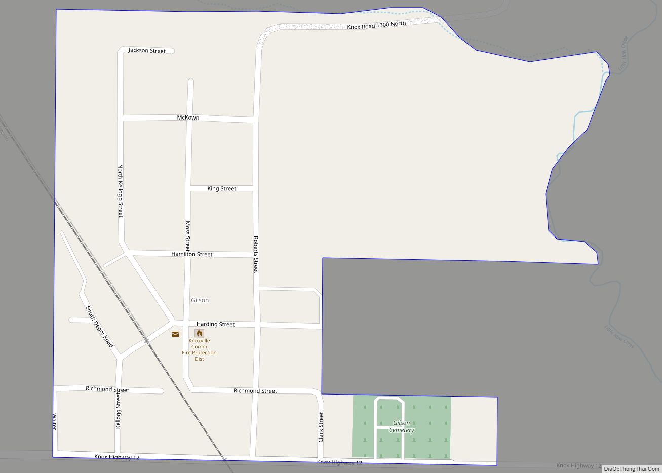
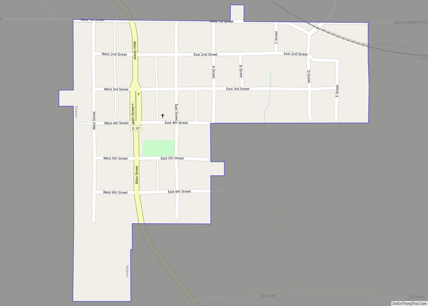
Online Interactive Map
Click on ![]() to view map in "full screen" mode.
to view map in "full screen" mode.
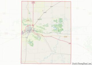
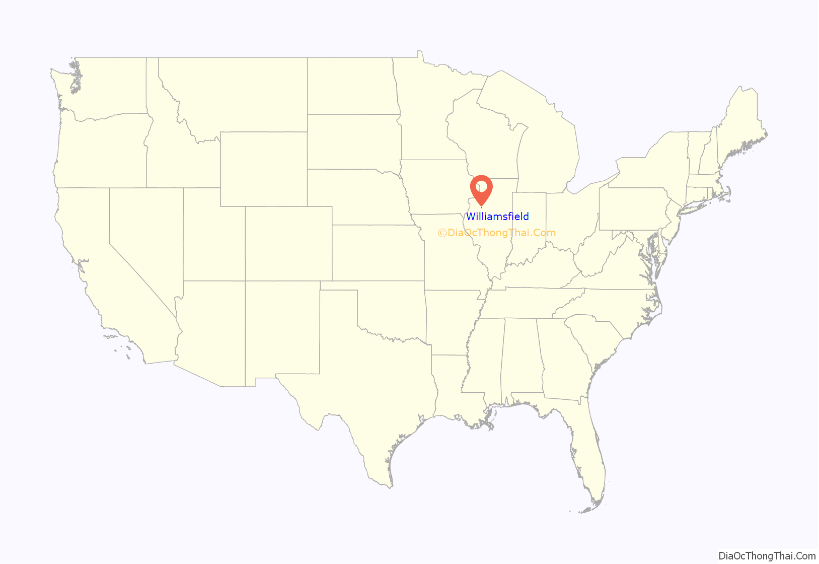
Williamsfield location map. Where is Williamsfield village?
History
E.B. Purcell laid out the village in 1888, and a post office was established. The village was reportedly named for a Santa Fe Railroad contractor named Williams.
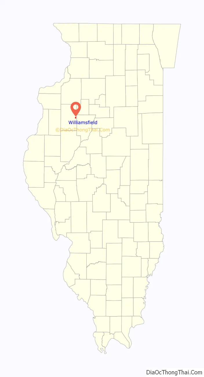
Williamsfield Road Map
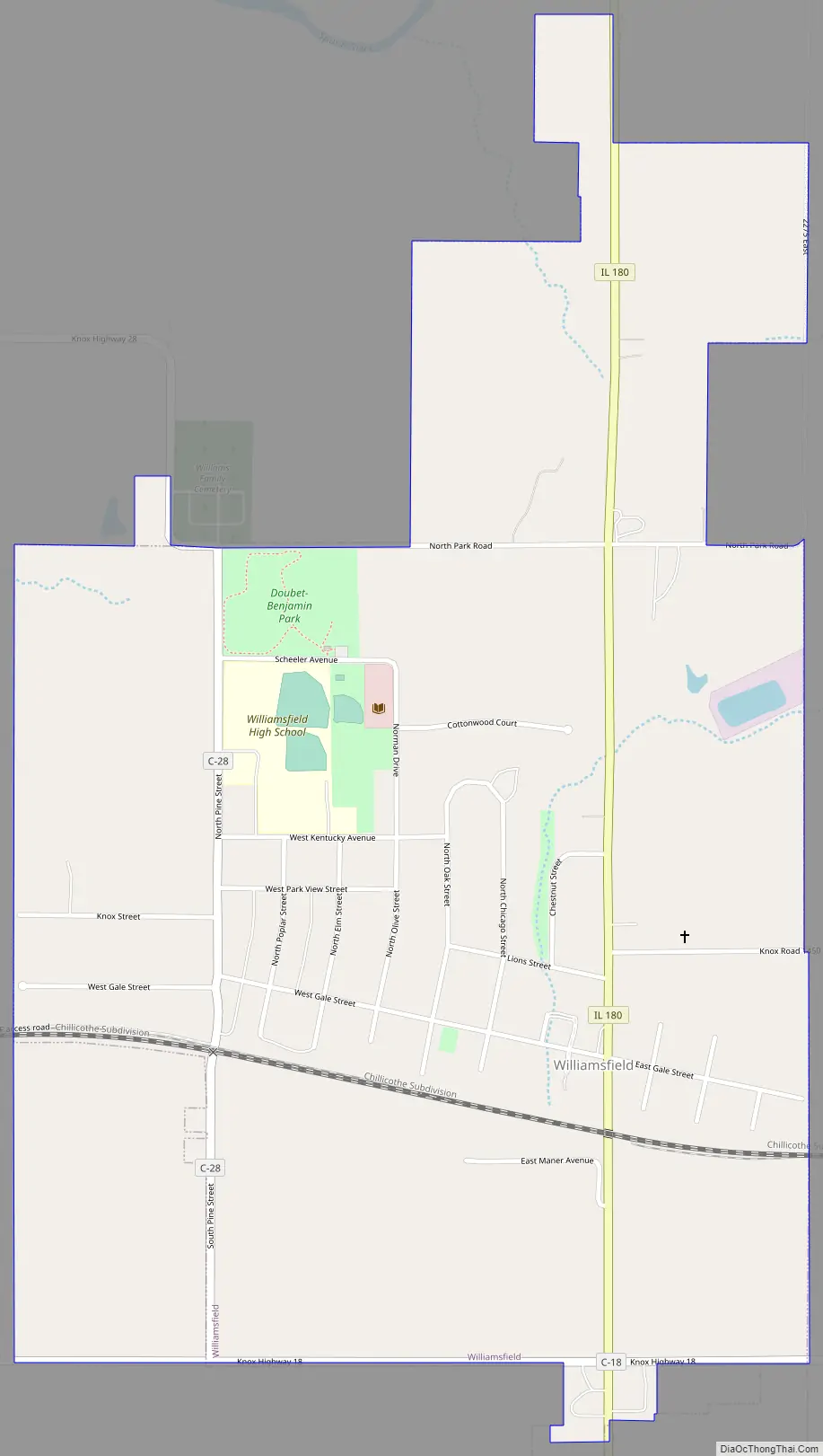
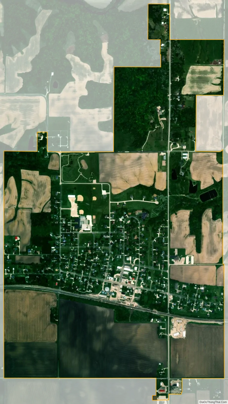
Williamsfield city Satellite Map
Geography
Williamsfield is located in eastern Knox County 21 miles (34 km) east of Galesburg, the county seat. Illinois Route 180 runs through the east side of the village, leading north 18 miles (29 km) to Galva and south 1.5 miles (2.4 km) to U.S. Route 150.
According to the 2010 census, Williamsfield has a total area of 1.27 square miles (3.29 km), all land.
See also
Map of Illinois State and its subdivision:- Adams
- Alexander
- Bond
- Boone
- Brown
- Bureau
- Calhoun
- Carroll
- Cass
- Champaign
- Christian
- Clark
- Clay
- Clinton
- Coles
- Cook
- Crawford
- Cumberland
- De Kalb
- De Witt
- Douglas
- Dupage
- Edgar
- Edwards
- Effingham
- Fayette
- Ford
- Franklin
- Fulton
- Gallatin
- Greene
- Grundy
- Hamilton
- Hancock
- Hardin
- Henderson
- Henry
- Iroquois
- Jackson
- Jasper
- Jefferson
- Jersey
- Jo Daviess
- Johnson
- Kane
- Kankakee
- Kendall
- Knox
- La Salle
- Lake
- Lake Michigan
- Lawrence
- Lee
- Livingston
- Logan
- Macon
- Macoupin
- Madison
- Marion
- Marshall
- Mason
- Massac
- McDonough
- McHenry
- McLean
- Menard
- Mercer
- Monroe
- Montgomery
- Morgan
- Moultrie
- Ogle
- Peoria
- Perry
- Piatt
- Pike
- Pope
- Pulaski
- Putnam
- Randolph
- Richland
- Rock Island
- Saint Clair
- Saline
- Sangamon
- Schuyler
- Scott
- Shelby
- Stark
- Stephenson
- Tazewell
- Union
- Vermilion
- Wabash
- Warren
- Washington
- Wayne
- White
- Whiteside
- Will
- Williamson
- Winnebago
- Woodford
- Alabama
- Alaska
- Arizona
- Arkansas
- California
- Colorado
- Connecticut
- Delaware
- District of Columbia
- Florida
- Georgia
- Hawaii
- Idaho
- Illinois
- Indiana
- Iowa
- Kansas
- Kentucky
- Louisiana
- Maine
- Maryland
- Massachusetts
- Michigan
- Minnesota
- Mississippi
- Missouri
- Montana
- Nebraska
- Nevada
- New Hampshire
- New Jersey
- New Mexico
- New York
- North Carolina
- North Dakota
- Ohio
- Oklahoma
- Oregon
- Pennsylvania
- Rhode Island
- South Carolina
- South Dakota
- Tennessee
- Texas
- Utah
- Vermont
- Virginia
- Washington
- West Virginia
- Wisconsin
- Wyoming