Galva is a city in Henry County, Illinois, United States. The population was 2,589 at the 2010 census, down from 2,758 in 2000.
| Name: | Galva city |
|---|---|
| LSAD Code: | 25 |
| LSAD Description: | city (suffix) |
| State: | Illinois |
| County: | Henry County |
| Elevation: | 850 ft (260 m) |
| Total Area: | 2.75 sq mi (7.13 km²) |
| Land Area: | 2.75 sq mi (7.13 km²) |
| Water Area: | 0.00 sq mi (0.00 km²) |
| Total Population: | 2,470 |
| Population Density: | 896.55/sq mi (346.18/km²) |
| Area code: | 309 |
| FIPS code: | 1728430 |
| Website: | www.galvail.gov |
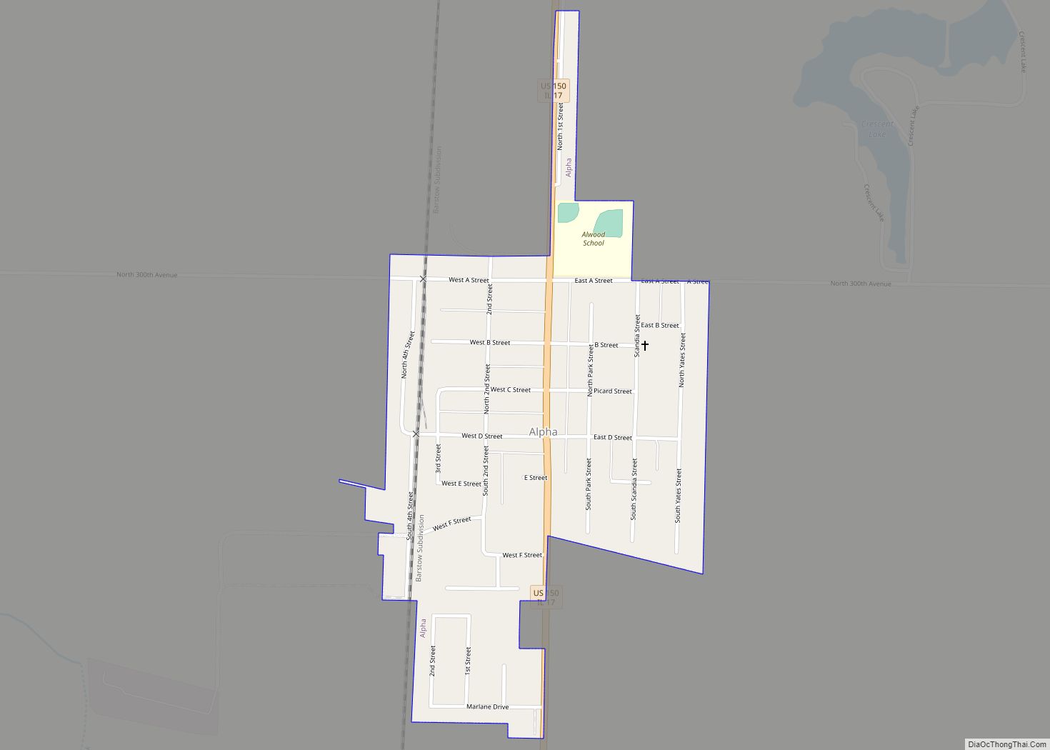
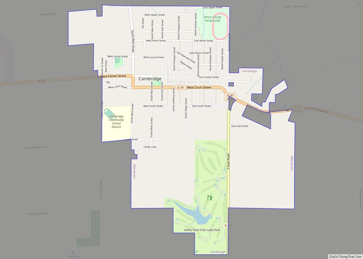
Online Interactive Map
Click on ![]() to view map in "full screen" mode.
to view map in "full screen" mode.
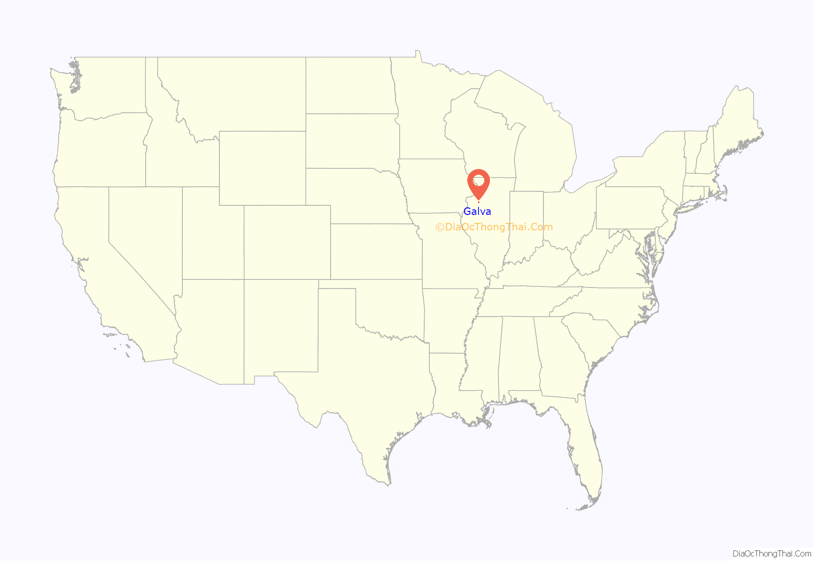
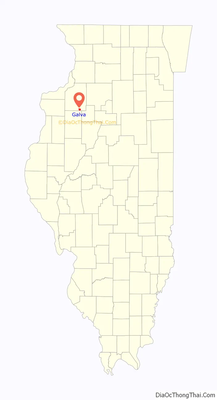
Galva location map. Where is Galva city?
History
Cousins William L. Wiley (1820-1900) and James Wiley (1817-1886) founded Galva in 1854. The name Galva honors the Swedish immigrants of nearby Bishop Hill and refers to Gävle, Sweden which is the town’s sister city. Today around 80% of the town has Scandinavian ancestry.
Galva was a railroad town. Galva was laid out along the Chicago, Burlington and Quincy Railroad (Burlington Route) with the help of Bishop Hill trustees who invested heavily in Galva. This was the first of three rail lines to locate there. This group was formed in 1852 and ran a line from Aurora, Illinois to Galesburg, Illinois. A second branch of the Burlington Route later also came through. Later the Peoria and Rock Island Railroad (Rock Island Railroad) came through Galva.
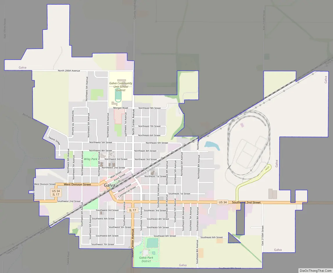
Galva Road Map
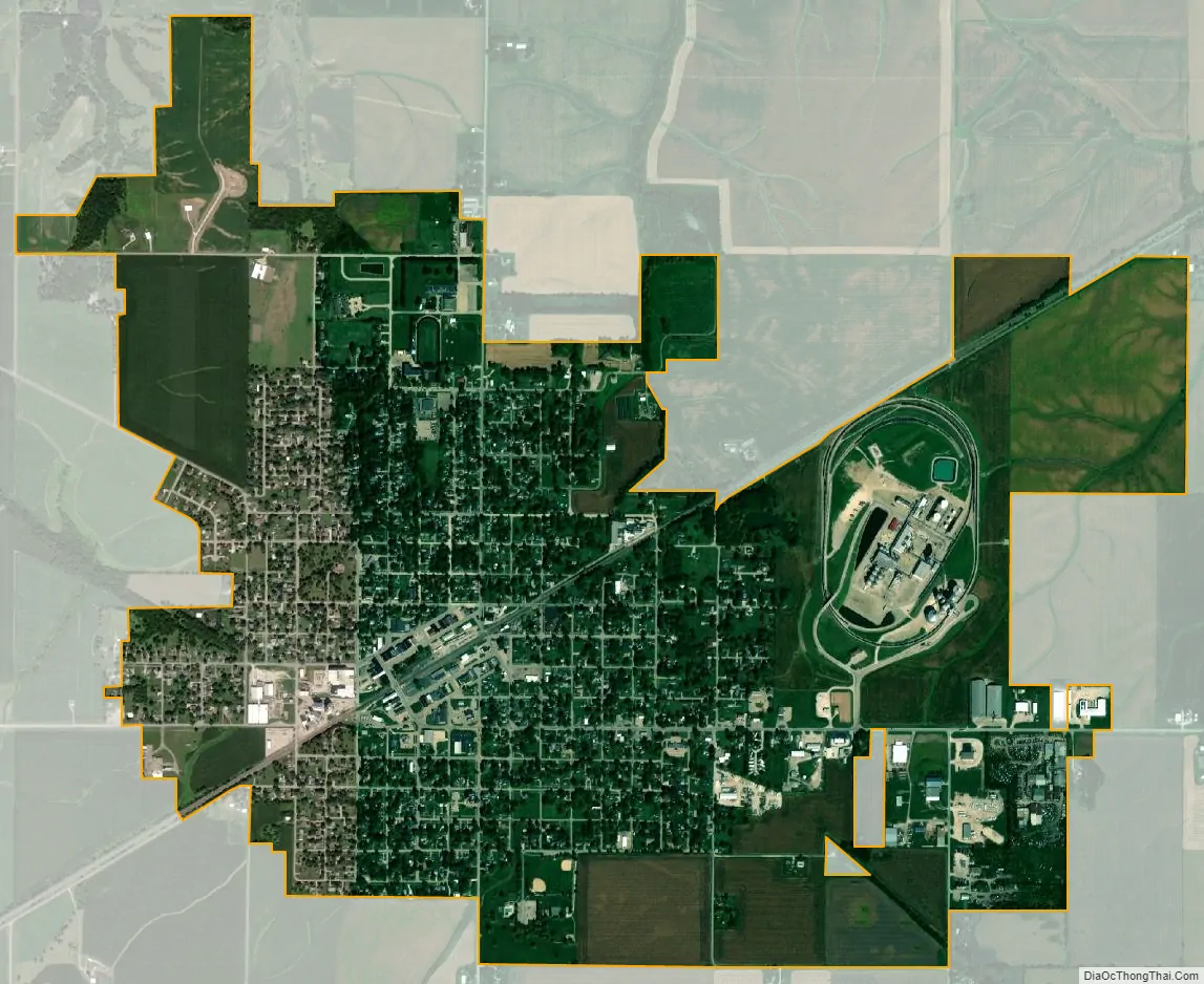
Galva city Satellite Map
Geography
According to the 2010 census, Galva has a total area of 2.86 square miles (7.41 km), all land.
Climate
See also
Map of Illinois State and its subdivision:- Adams
- Alexander
- Bond
- Boone
- Brown
- Bureau
- Calhoun
- Carroll
- Cass
- Champaign
- Christian
- Clark
- Clay
- Clinton
- Coles
- Cook
- Crawford
- Cumberland
- De Kalb
- De Witt
- Douglas
- Dupage
- Edgar
- Edwards
- Effingham
- Fayette
- Ford
- Franklin
- Fulton
- Gallatin
- Greene
- Grundy
- Hamilton
- Hancock
- Hardin
- Henderson
- Henry
- Iroquois
- Jackson
- Jasper
- Jefferson
- Jersey
- Jo Daviess
- Johnson
- Kane
- Kankakee
- Kendall
- Knox
- La Salle
- Lake
- Lake Michigan
- Lawrence
- Lee
- Livingston
- Logan
- Macon
- Macoupin
- Madison
- Marion
- Marshall
- Mason
- Massac
- McDonough
- McHenry
- McLean
- Menard
- Mercer
- Monroe
- Montgomery
- Morgan
- Moultrie
- Ogle
- Peoria
- Perry
- Piatt
- Pike
- Pope
- Pulaski
- Putnam
- Randolph
- Richland
- Rock Island
- Saint Clair
- Saline
- Sangamon
- Schuyler
- Scott
- Shelby
- Stark
- Stephenson
- Tazewell
- Union
- Vermilion
- Wabash
- Warren
- Washington
- Wayne
- White
- Whiteside
- Will
- Williamson
- Winnebago
- Woodford
- Alabama
- Alaska
- Arizona
- Arkansas
- California
- Colorado
- Connecticut
- Delaware
- District of Columbia
- Florida
- Georgia
- Hawaii
- Idaho
- Illinois
- Indiana
- Iowa
- Kansas
- Kentucky
- Louisiana
- Maine
- Maryland
- Massachusetts
- Michigan
- Minnesota
- Mississippi
- Missouri
- Montana
- Nebraska
- Nevada
- New Hampshire
- New Jersey
- New Mexico
- New York
- North Carolina
- North Dakota
- Ohio
- Oklahoma
- Oregon
- Pennsylvania
- Rhode Island
- South Carolina
- South Dakota
- Tennessee
- Texas
- Utah
- Vermont
- Virginia
- Washington
- West Virginia
- Wisconsin
- Wyoming