Haysville is a city in Sedgwick County, Kansas, United States, and a suburb of Wichita. As of the 2020 census, the population of the city was 11,262. Haysville is known as the “Peach Capital of Kansas”.
| Name: | Haysville city |
|---|---|
| LSAD Code: | 25 |
| LSAD Description: | city (suffix) |
| State: | Kansas |
| County: | Sedgwick County |
| Founded: | 1891 |
| Incorporated: | 1951 |
| Elevation: | 1,260 ft (380 m) |
| Total Area: | 4.66 sq mi (12.06 km²) |
| Land Area: | 4.65 sq mi (12.04 km²) |
| Water Area: | 0.01 sq mi (0.03 km²) |
| Total Population: | 11,262 |
| Population Density: | 2,400/sq mi (930/km²) |
| ZIP code: | 67060 |
| Area code: | 316 |
| FIPS code: | 2031125 |
| Website: | haysville-ks.com |
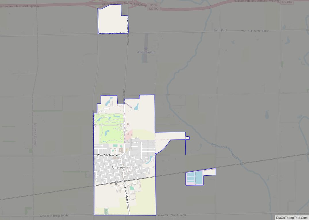
Online Interactive Map
Click on ![]() to view map in "full screen" mode.
to view map in "full screen" mode.
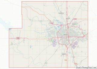
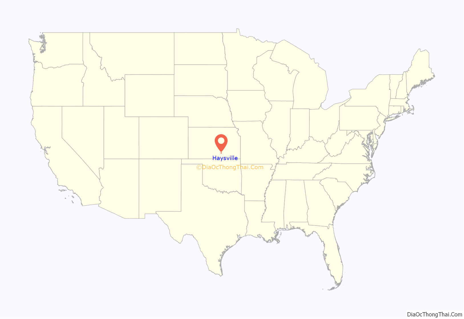
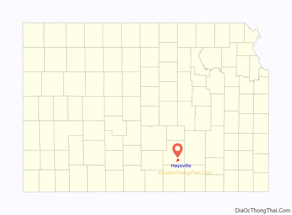
Haysville location map. Where is Haysville city?
History
W.W. Hays came to this area in the early 1870s. In 1891, he platted land that he owned so a town could be built. The Haysville State Bank was established in 1919. Truck farming supported a lot of the families in the area. In 1874 a grist mill was built on the bank of the Cowskin to process corn that was harvested in the area. Haysville’s first school was built in 1876 at a location that may have been near what are now the Water Department facilities. Haysville appears in Colton’s New Sectional Map of the State of Kansas as early as 1879.
In 1887, the Chicago, Kansas and Nebraska Railway Company built a branch line north–south from Herington through Haysville to Caldwell. It was renamed in 1891 to Chicago, Rock Island and Pacific Railway which shut down in 1980, renamed in 1980 to Oklahoma, Kansas and Texas Railroad, merged in 1988 to Missouri Pacific Railroad, merged in 1997 to the current Union Pacific Railroad. Most locals still refer to this railroad as the “Rock Island”. In 1903 a depot was opened and passenger trains shuttled people to and from Wichita.
On May 3, 1999, a tornado rated F4 on the Fujita scale struck Haysville, killing 4 people in Haysville. Damage to structures included 150 homes and 27 businesses. The tornado continued into Wichita causing damage to the South side of the city, killing an additional 2 people in Wichita. All of Haysville’s historic district was destroyed. The only thing left standing on the east side of main was the original bank vault.
Haysville Road Map
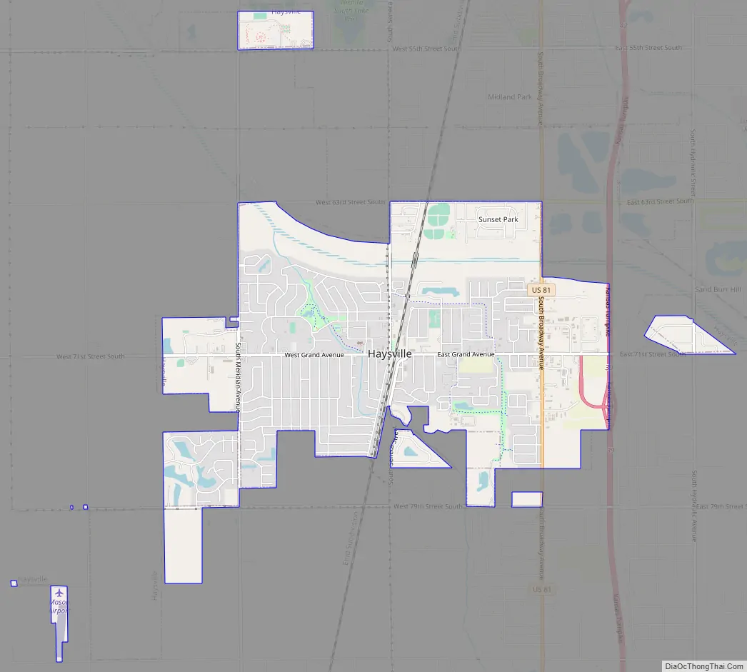
Haysville city Satellite Map

Geography
Haysville is located at 37°33′50″N 97°21′11″W / 37.56389°N 97.35306°W / 37.56389; -97.35306 (37.563787, -97.353044). According to the United States Census Bureau, the city has a total area of 4.62 square miles (11.97 km), of which, 4.61 square miles (11.94 km) is land and 0.01 square miles (0.03 km) is water.
See also
Map of Kansas State and its subdivision:- Allen
- Anderson
- Atchison
- Barber
- Barton
- Bourbon
- Brown
- Butler
- Chase
- Chautauqua
- Cherokee
- Cheyenne
- Clark
- Clay
- Cloud
- Coffey
- Comanche
- Cowley
- Crawford
- Decatur
- Dickinson
- Doniphan
- Douglas
- Edwards
- Elk
- Ellis
- Ellsworth
- Finney
- Ford
- Franklin
- Geary
- Gove
- Graham
- Grant
- Gray
- Greeley
- Greenwood
- Hamilton
- Harper
- Harvey
- Haskell
- Hodgeman
- Jackson
- Jefferson
- Jewell
- Johnson
- Kearny
- Kingman
- Kiowa
- Labette
- Lane
- Leavenworth
- Lincoln
- Linn
- Logan
- Lyon
- Marion
- Marshall
- McPherson
- Meade
- Miami
- Mitchell
- Montgomery
- Morris
- Morton
- Nemaha
- Neosho
- Ness
- Norton
- Osage
- Osborne
- Ottawa
- Pawnee
- Phillips
- Pottawatomie
- Pratt
- Rawlins
- Reno
- Republic
- Rice
- Riley
- Rooks
- Rush
- Russell
- Saline
- Scott
- Sedgwick
- Seward
- Shawnee
- Sheridan
- Sherman
- Smith
- Stafford
- Stanton
- Stevens
- Sumner
- Thomas
- Trego
- Wabaunsee
- Wallace
- Washington
- Wichita
- Wilson
- Woodson
- Wyandotte
- Alabama
- Alaska
- Arizona
- Arkansas
- California
- Colorado
- Connecticut
- Delaware
- District of Columbia
- Florida
- Georgia
- Hawaii
- Idaho
- Illinois
- Indiana
- Iowa
- Kansas
- Kentucky
- Louisiana
- Maine
- Maryland
- Massachusetts
- Michigan
- Minnesota
- Mississippi
- Missouri
- Montana
- Nebraska
- Nevada
- New Hampshire
- New Jersey
- New Mexico
- New York
- North Carolina
- North Dakota
- Ohio
- Oklahoma
- Oregon
- Pennsylvania
- Rhode Island
- South Carolina
- South Dakota
- Tennessee
- Texas
- Utah
- Vermont
- Virginia
- Washington
- West Virginia
- Wisconsin
- Wyoming