Mission Hills is a city in Johnson County, Kansas, United States, and part of the Kansas City Metropolitan Area. As of the 2020 census, the population of the city was 3,594. The east city limits is the Kansas-Missouri state line at State Line Road. Mission Hills was originally developed by noted Kansas City developer J. C. Nichols beginning in the 1920s as part of his Country Club District plan.
| Name: | Mission Hills city |
|---|---|
| LSAD Code: | 25 |
| LSAD Description: | city (suffix) |
| State: | Kansas |
| County: | Johnson County |
| Incorporated: | 1949 |
| Elevation: | 932 ft (284 m) |
| Total Area: | 2.04 sq mi (5.28 km²) |
| Land Area: | 2.04 sq mi (5.28 km²) |
| Water Area: | 0.00 sq mi (0.00 km²) |
| Total Population: | 3,594 |
| Population Density: | 1,800/sq mi (680/km²) |
| ZIP code: | 66208 |
| Area code: | 913 |
| FIPS code: | 2047350 |
| Website: | missionhillsks.gov |
Online Interactive Map
Click on ![]() to view map in "full screen" mode.
to view map in "full screen" mode.
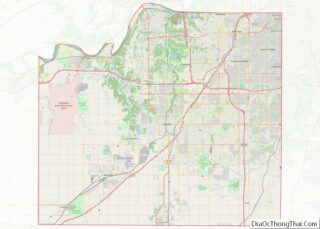
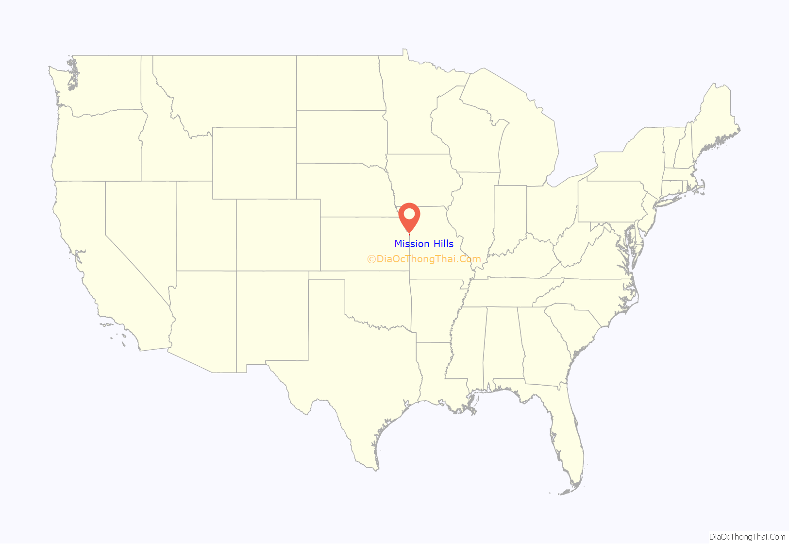
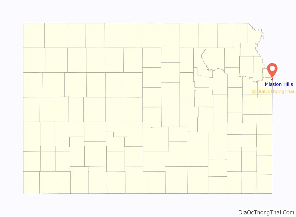
Mission Hills location map. Where is Mission Hills city?
History
An Indian mission was established at the town’s site in the 1830s, hence the name of the later settlement.
The city started as a planned upscale community for the elite by J.C. Nichols to be built around the Mission Hills Country Club (Kansas) on the hills above Brush Creek just south of the Shawnee Methodist Mission. Most of the country club’s property is in Kansas but its original clubhouse was in Kansas City, Missouri, allowing it to serve liquor, which was prohibited on the Kansas side. Nichols laid out plans in 1914. He had developed the country club to enhance the value of his Kansas properties after discovering that upscale buyers were reluctant to live on the Kansas side of the state line.
Adjoining the club Nichols established the Community Golf Club. After it dramatically grew, it moved to what today is the Kansas City Country Club. Nichols lured the Kansas City Country Club to take over the land, and the Community Golf Club went on to establish the Indian Hills Country Club. Together, the three clubs became the most prestigious in the Kansas City metropolitan area; many rank them in order of prestige: Kansas City first, Mission Hills second, and Indian Hills third.
Nichols opposed incorporation of the community fearing that a city would not adequately meet the needs of its residents or properly enforce housing covenants. Consequently, the Mission Hills Home Company was founded on August 18, 1914. One of the most publicized early enforcements involved forbidding the family of a sick woman to enclose her porch with glass.
Faced with prospects of annexation by neighboring relatively lower income communities seeking its wealthy tax base, Mission Hills incorporated as a city in 1949.
Many of the early houses were designed by Clarence E. Shepherd, Edward Tanner, and Edward Buehler Delk.
The city’s most distinctive landmark, which is used on the official city seal, is the Verona columns and reflecting pool at the intersection of Ensley Lane, Mission Drive and Overhill Road. They were conceived by landscape architect S. Herbert Hare in 1924.
In 1928 Ernest Hemingway and his wife, Pauline, stayed at the house of W. Malcolm and Ruth Lowry at 6435 Indian Lane. During this time, Hemingway wrote A Farewell to Arms. He later gave an autographed copy of the book to Don Carlos Guffey, the Kansas City doctor who delivered his son Patrick. The inscription, which is now in the University of Missouri-Kansas City library, said “…with much admiration and grateful remembrance of a Caesarean that was beautifully done and turned out splendidly.”
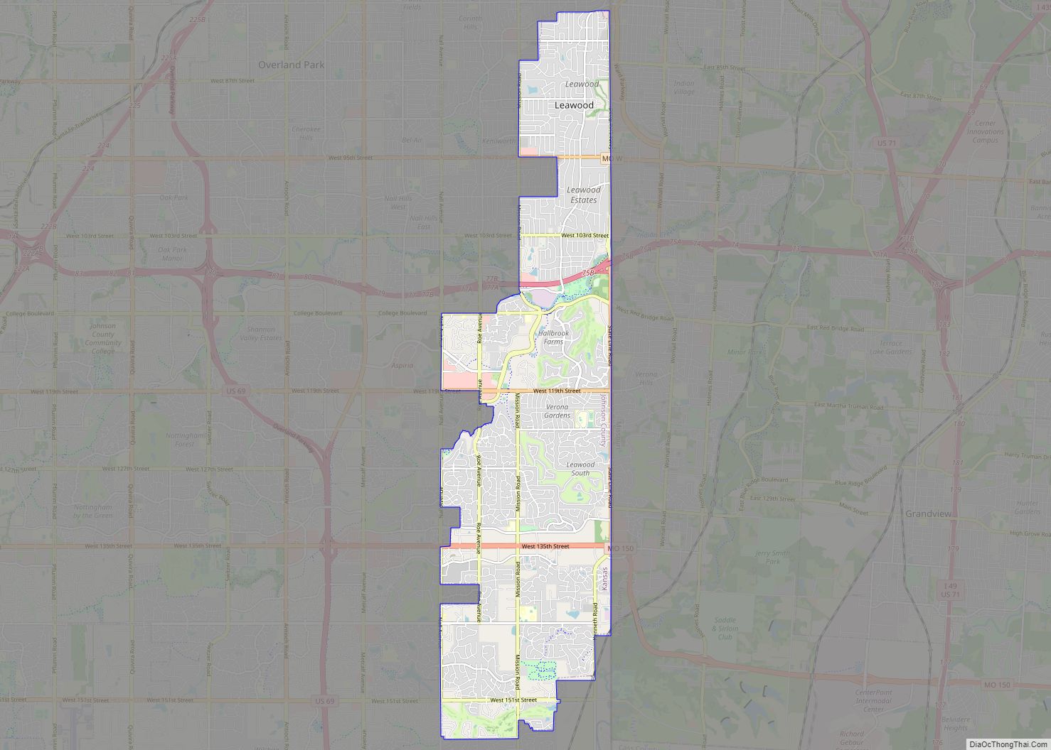
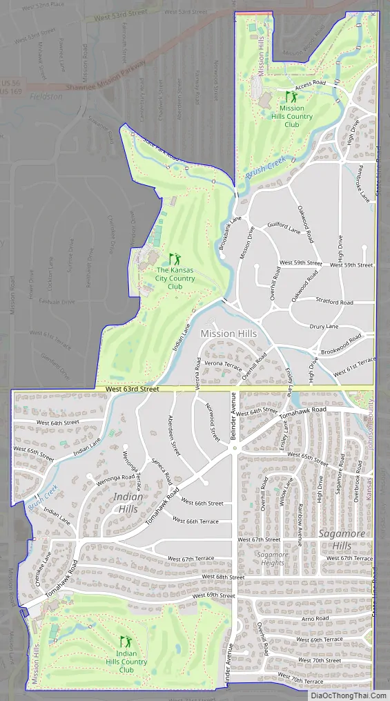
Mission Hills Road Map
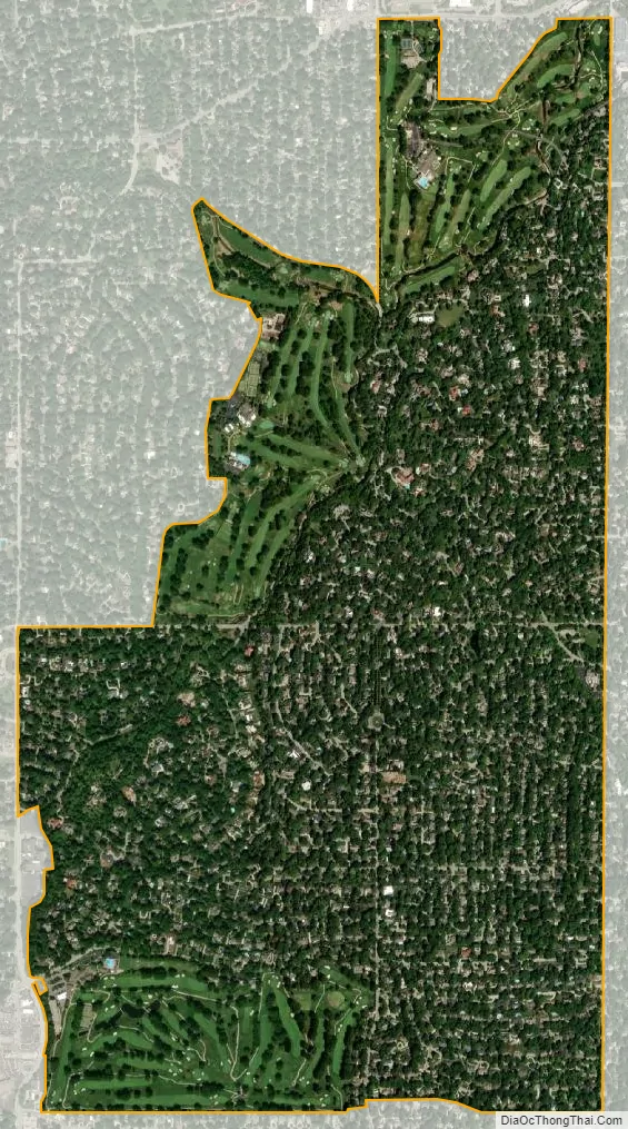
Mission Hills city Satellite Map
Geography
Mission Hills is located at 39°0′49″N 94°36′54″W / 39.01361°N 94.61500°W / 39.01361; -94.61500 (39.013705, -94.615083). According to the United States Census Bureau, the city has a total area of 2.02 square miles (5.23 km), all of it land. However, Brush Creek runs through the northern section of the city.
The northern half of Mission Hills, north of 63rd Street, is informally called “old Mission Hills” and is dominated by opulent houses on large lots. There are two private country clubs in this section: the Mission Hills Country Club and the Kansas City Country Club. The southern half, consisting of developments Belinder Hills, Indian Hills and Sagamore Hills, contains affluent upper middle class residences and the private Indian Hills Country Club.
See also
Map of Kansas State and its subdivision:- Allen
- Anderson
- Atchison
- Barber
- Barton
- Bourbon
- Brown
- Butler
- Chase
- Chautauqua
- Cherokee
- Cheyenne
- Clark
- Clay
- Cloud
- Coffey
- Comanche
- Cowley
- Crawford
- Decatur
- Dickinson
- Doniphan
- Douglas
- Edwards
- Elk
- Ellis
- Ellsworth
- Finney
- Ford
- Franklin
- Geary
- Gove
- Graham
- Grant
- Gray
- Greeley
- Greenwood
- Hamilton
- Harper
- Harvey
- Haskell
- Hodgeman
- Jackson
- Jefferson
- Jewell
- Johnson
- Kearny
- Kingman
- Kiowa
- Labette
- Lane
- Leavenworth
- Lincoln
- Linn
- Logan
- Lyon
- Marion
- Marshall
- McPherson
- Meade
- Miami
- Mitchell
- Montgomery
- Morris
- Morton
- Nemaha
- Neosho
- Ness
- Norton
- Osage
- Osborne
- Ottawa
- Pawnee
- Phillips
- Pottawatomie
- Pratt
- Rawlins
- Reno
- Republic
- Rice
- Riley
- Rooks
- Rush
- Russell
- Saline
- Scott
- Sedgwick
- Seward
- Shawnee
- Sheridan
- Sherman
- Smith
- Stafford
- Stanton
- Stevens
- Sumner
- Thomas
- Trego
- Wabaunsee
- Wallace
- Washington
- Wichita
- Wilson
- Woodson
- Wyandotte
- Alabama
- Alaska
- Arizona
- Arkansas
- California
- Colorado
- Connecticut
- Delaware
- District of Columbia
- Florida
- Georgia
- Hawaii
- Idaho
- Illinois
- Indiana
- Iowa
- Kansas
- Kentucky
- Louisiana
- Maine
- Maryland
- Massachusetts
- Michigan
- Minnesota
- Mississippi
- Missouri
- Montana
- Nebraska
- Nevada
- New Hampshire
- New Jersey
- New Mexico
- New York
- North Carolina
- North Dakota
- Ohio
- Oklahoma
- Oregon
- Pennsylvania
- Rhode Island
- South Carolina
- South Dakota
- Tennessee
- Texas
- Utah
- Vermont
- Virginia
- Washington
- West Virginia
- Wisconsin
- Wyoming