Prairie Village is a city in Johnson County, Kansas, United States, and located within the Kansas City Metropolitan Area. As of the 2020 census, the population of the city was 22,957.
| Name: | Prairie Village city |
|---|---|
| LSAD Code: | 25 |
| LSAD Description: | city (suffix) |
| State: | Kansas |
| County: | Johnson County |
| Incorporated: | 1951 |
| Elevation: | 991 ft (302 m) |
| Total Area: | 6.22 sq mi (16.11 km²) |
| Land Area: | 6.21 sq mi (16.09 km²) |
| Water Area: | 0.01 sq mi (0.03 km²) |
| Total Population: | 22,957 |
| Population Density: | 3,700/sq mi (1,400/km²) |
| Area code: | 913 |
| FIPS code: | 2057575 |
| Website: | pvkansas.com |
Online Interactive Map
Click on ![]() to view map in "full screen" mode.
to view map in "full screen" mode.
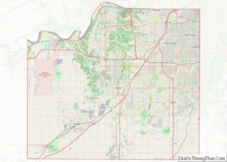
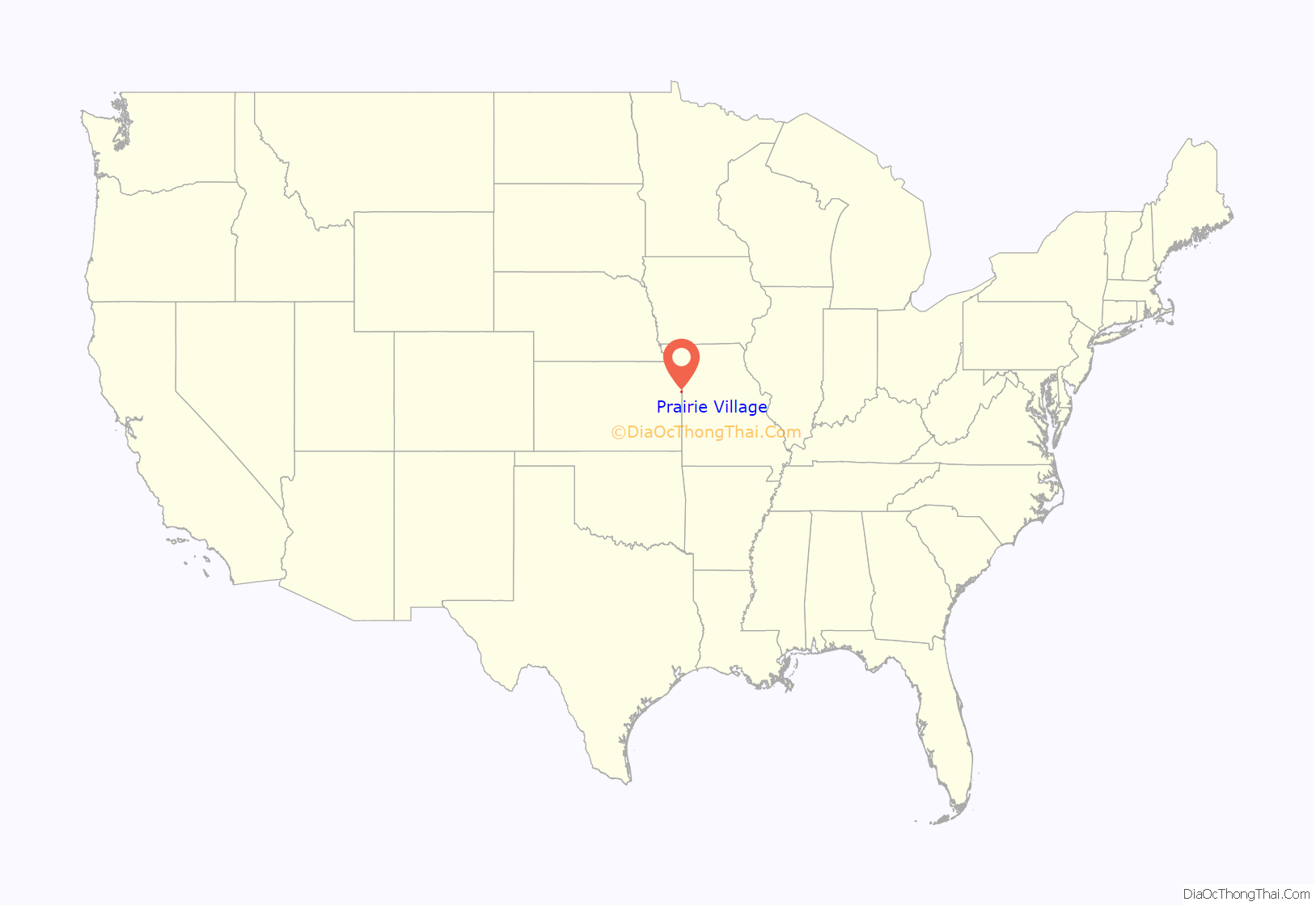
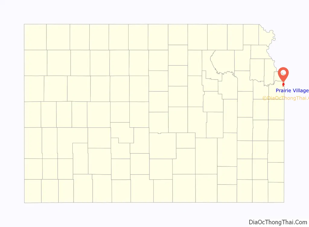
Prairie Village location map. Where is Prairie Village city?
History
After the successful development of the Country Club Plaza in Kansas City, Missouri, J. C. Nichols turned toward development of his native Johnson County, just a few miles from the Plaza. Prairie Village was platted in 1941 and was named after Prairie School, which was established almost a century before. In 1949, Prairie Village was named the best planned community in America by the National Association of Home Builders. It was officially recognized as a city in 1951.
Remnants of the Santa Fe Trail are found in the city.
Shawnee, Osage, and Kansa Indians formerly inhabited the land now developed into the City of Prairie Village. In 1858, Thomas Porter bought 160 acres of farmland in what is now Prairie Village; he raised all his children on that farmland and was involved in agricultural development and civic affairs.
Porter’s sister, Betty Porter, married Thompson A. Lewis, who owned 80 acres between Mission Road and Roe Avenue.
Henry Coppock arrived in Johnson County in 1857, before heading farther west to work in freighting and farming. He came back in the mid-1860s and bought land in 1865. Coppock built his family home on 900 acres in Prairie Village. Coppock’s house stood for 30 years. Now on his land is Homestead County Club.
The original Prairie School was built in 1882, and a new building was constructed in 1912. This landmark was a community treasure until 1990.
In the 1940s, J.C. Nichols, an experienced developer, wanted to turn the farmland into suburban housing for soldiers returning home from the war. Nichols bought farmland from the Porters, Coppocks, and Lewises. There were hurdles along the way including a lack of experienced builders after World War II, but this didn’t stop Nichols from pursuing his goal.
Prairie Village continued to expand as the Prairie Village Shopping Center opened in 1947 and the Corinth Square Shopping Center opened in 1955.
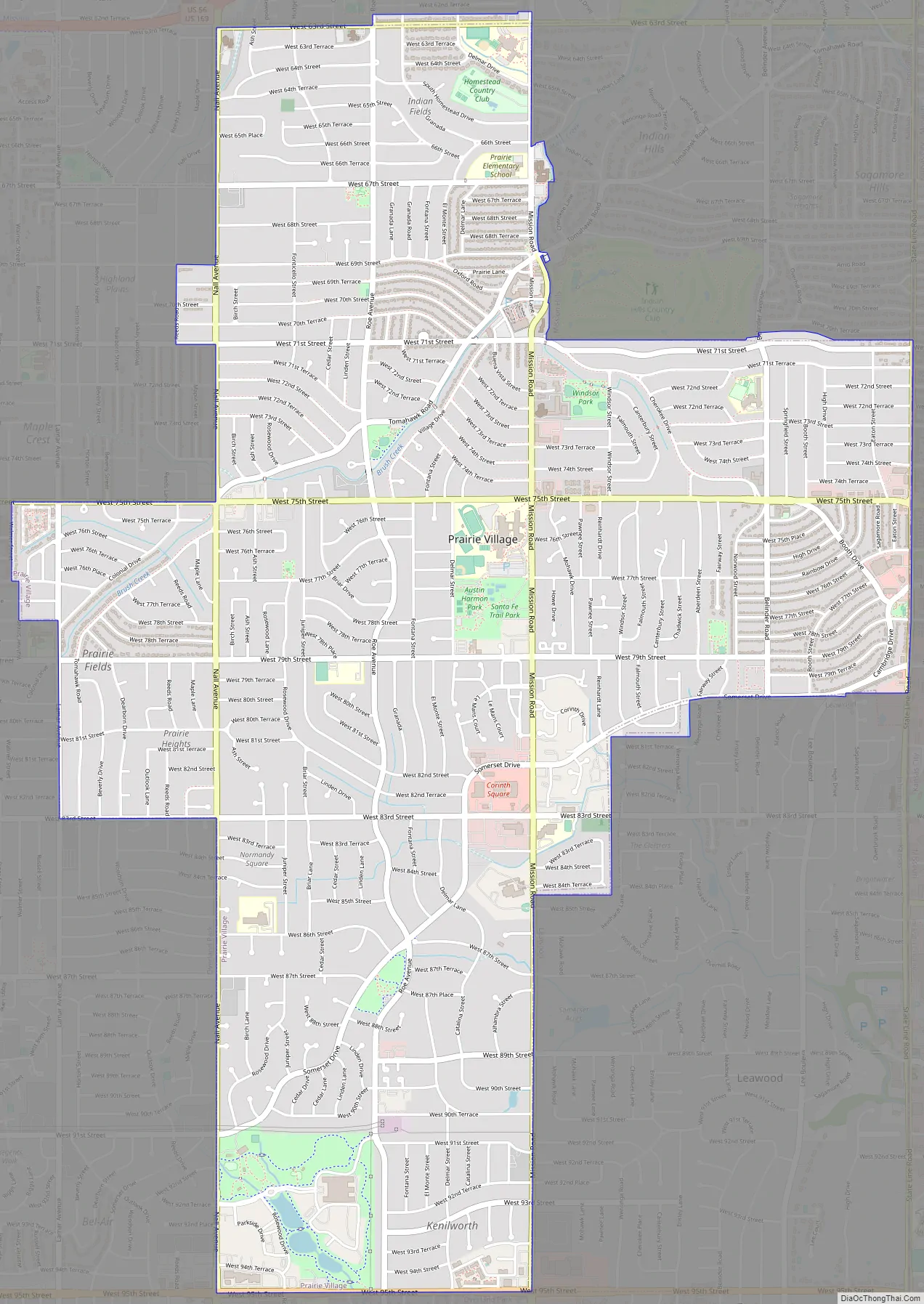
Prairie Village Road Map
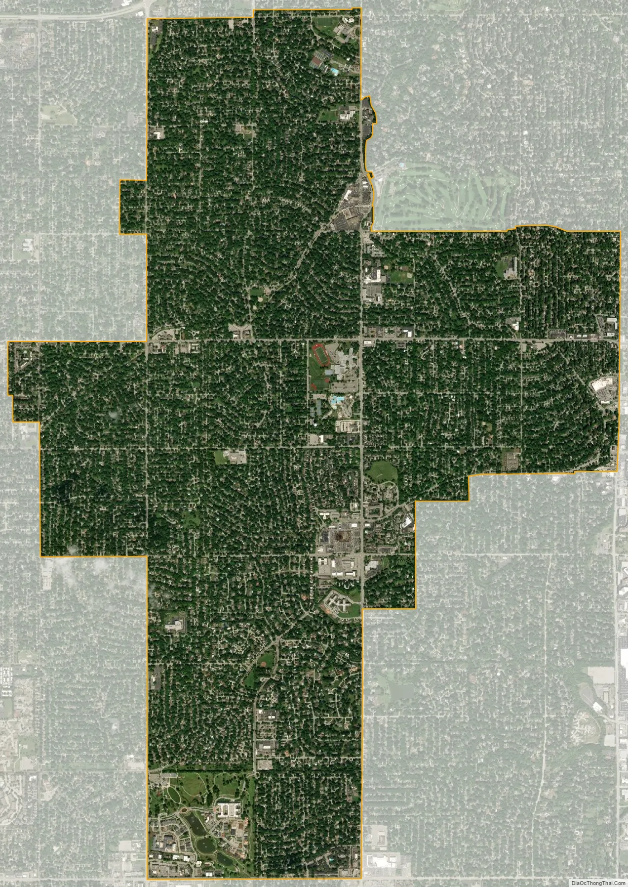
Prairie Village city Satellite Map
Geography
Climate
See also
Map of Kansas State and its subdivision:- Allen
- Anderson
- Atchison
- Barber
- Barton
- Bourbon
- Brown
- Butler
- Chase
- Chautauqua
- Cherokee
- Cheyenne
- Clark
- Clay
- Cloud
- Coffey
- Comanche
- Cowley
- Crawford
- Decatur
- Dickinson
- Doniphan
- Douglas
- Edwards
- Elk
- Ellis
- Ellsworth
- Finney
- Ford
- Franklin
- Geary
- Gove
- Graham
- Grant
- Gray
- Greeley
- Greenwood
- Hamilton
- Harper
- Harvey
- Haskell
- Hodgeman
- Jackson
- Jefferson
- Jewell
- Johnson
- Kearny
- Kingman
- Kiowa
- Labette
- Lane
- Leavenworth
- Lincoln
- Linn
- Logan
- Lyon
- Marion
- Marshall
- McPherson
- Meade
- Miami
- Mitchell
- Montgomery
- Morris
- Morton
- Nemaha
- Neosho
- Ness
- Norton
- Osage
- Osborne
- Ottawa
- Pawnee
- Phillips
- Pottawatomie
- Pratt
- Rawlins
- Reno
- Republic
- Rice
- Riley
- Rooks
- Rush
- Russell
- Saline
- Scott
- Sedgwick
- Seward
- Shawnee
- Sheridan
- Sherman
- Smith
- Stafford
- Stanton
- Stevens
- Sumner
- Thomas
- Trego
- Wabaunsee
- Wallace
- Washington
- Wichita
- Wilson
- Woodson
- Wyandotte
- Alabama
- Alaska
- Arizona
- Arkansas
- California
- Colorado
- Connecticut
- Delaware
- District of Columbia
- Florida
- Georgia
- Hawaii
- Idaho
- Illinois
- Indiana
- Iowa
- Kansas
- Kentucky
- Louisiana
- Maine
- Maryland
- Massachusetts
- Michigan
- Minnesota
- Mississippi
- Missouri
- Montana
- Nebraska
- Nevada
- New Hampshire
- New Jersey
- New Mexico
- New York
- North Carolina
- North Dakota
- Ohio
- Oklahoma
- Oregon
- Pennsylvania
- Rhode Island
- South Carolina
- South Dakota
- Tennessee
- Texas
- Utah
- Vermont
- Virginia
- Washington
- West Virginia
- Wisconsin
- Wyoming