Concord is a village in Jackson County in the U.S. state of Michigan. The population was 1,050 at the 2010 census. The village is within Concord Township.
Settled in 1831, much of the village’s downtown area is designated as part of the Concord Village Historic District. The village is located along M-60 about 15 miles (24.1 km) southwest of Jackson.
| Name: | Concord village |
|---|---|
| LSAD Code: | 47 |
| LSAD Description: | village (suffix) |
| State: | Michigan |
| County: | Jackson County |
| Incorporated: | 1871 |
| Elevation: | 1,024 ft (312 m) |
| Total Area: | 1.62 sq mi (4.19 km²) |
| Land Area: | 1.49 sq mi (3.87 km²) |
| Water Area: | 0.12 sq mi (0.32 km²) |
| Total Population: | 1,085 |
| Population Density: | 726.72/sq mi (280.56/km²) |
| Area code: | 517 |
| FIPS code: | 2617740 |
| GNISfeature ID: | 0623684 |
Online Interactive Map
Click on ![]() to view map in "full screen" mode.
to view map in "full screen" mode.
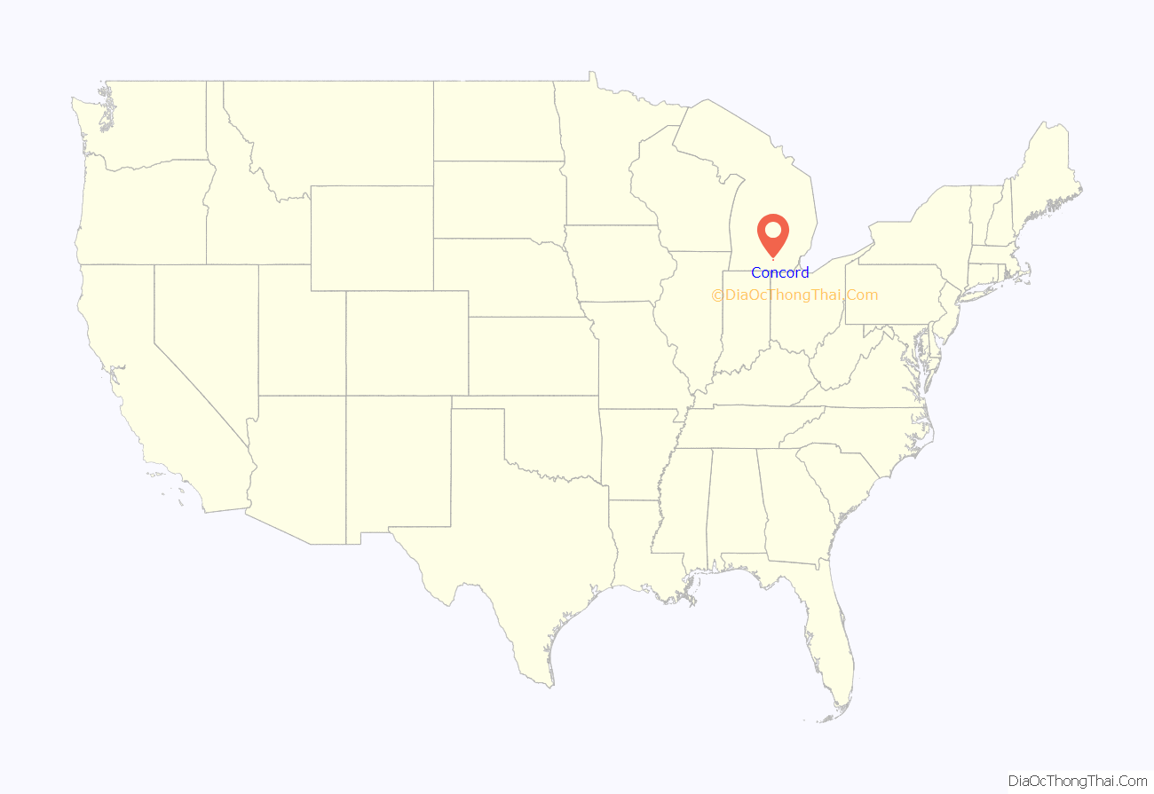
Concord location map. Where is Concord village?
History
Concord first received a post office in 1836. It was incorporated as a village in 1871.
The Michigan Historical Center operates a museum in Concord called the Mann House. The Mann House is an excellent example of typical middle-class domestic architecture of the early 1880s and features the family’s sleigh and buggy as well as Jackson’s Michigan State Prison made furniture.
Concord Road Map
Concord city Satellite Map
Geography
According to the United States Census Bureau, the village has a total area of 1.62 square miles (4.20 km), of which 1.50 square miles (3.88 km) is land and 0.12 square miles (0.31 km) (7.41%) is water.
The village is located within the T3S R3W survey township.
See also
Map of Michigan State and its subdivision:- Alcona
- Alger
- Allegan
- Alpena
- Antrim
- Arenac
- Baraga
- Barry
- Bay
- Benzie
- Berrien
- Branch
- Calhoun
- Cass
- Charlevoix
- Cheboygan
- Chippewa
- Clare
- Clinton
- Crawford
- Delta
- Dickinson
- Eaton
- Emmet
- Genesee
- Gladwin
- Gogebic
- Grand Traverse
- Gratiot
- Hillsdale
- Houghton
- Huron
- Ingham
- Ionia
- Iosco
- Iron
- Isabella
- Jackson
- Kalamazoo
- Kalkaska
- Kent
- Keweenaw
- Lake
- Lake Hurron
- Lake Michigan
- Lake St. Clair
- Lake Superior
- Lapeer
- Leelanau
- Lenawee
- Livingston
- Luce
- Mackinac
- Macomb
- Manistee
- Marquette
- Mason
- Mecosta
- Menominee
- Midland
- Missaukee
- Monroe
- Montcalm
- Montmorency
- Muskegon
- Newaygo
- Oakland
- Oceana
- Ogemaw
- Ontonagon
- Osceola
- Oscoda
- Otsego
- Ottawa
- Presque Isle
- Roscommon
- Saginaw
- Saint Clair
- Saint Joseph
- Sanilac
- Schoolcraft
- Shiawassee
- Tuscola
- Van Buren
- Washtenaw
- Wayne
- Wexford
- Alabama
- Alaska
- Arizona
- Arkansas
- California
- Colorado
- Connecticut
- Delaware
- District of Columbia
- Florida
- Georgia
- Hawaii
- Idaho
- Illinois
- Indiana
- Iowa
- Kansas
- Kentucky
- Louisiana
- Maine
- Maryland
- Massachusetts
- Michigan
- Minnesota
- Mississippi
- Missouri
- Montana
- Nebraska
- Nevada
- New Hampshire
- New Jersey
- New Mexico
- New York
- North Carolina
- North Dakota
- Ohio
- Oklahoma
- Oregon
- Pennsylvania
- Rhode Island
- South Carolina
- South Dakota
- Tennessee
- Texas
- Utah
- Vermont
- Virginia
- Washington
- West Virginia
- Wisconsin
- Wyoming
