Iron Mountain is a city and the county seat of Dickinson County, Michigan. The population was 7,518 at the 2020 census, down from 7,624 at the 2010 census. in the state’s Upper Peninsula. Iron Mountain was named for the valuable iron ore found in the vicinity.
Iron Mountain is the principal city of the Iron Mountain, MI-WI Micropolitan Statistical Area, which includes all of Dickinson County, Michigan and Florence County in Wisconsin.
Iron Mountain hosts a few points of interest such as the Millie Hill bat cave, The Cornish Pump, and is located adjacent to Pine Mountain ski jump/ski resort, one of the largest artificial ski jumps in the world. It shares Woodward Avenue with the neighboring town, Kingsford. In addition, Iron Mountain is known for its pasties, Bocce Ball Tournaments, World Cup Ski Jumps, and Italian cuisine. Iron Mountain was also named a “Michigan Main Street” community by Michigan Governor Jennifer Granholm in 2006. It is one of only thirteen such communities in the State of Michigan in 2008. It is also the hometown of Michigan State University men’s basketball coach Tom Izzo and former NFL head coach Steve Mariucci.
| Name: | Iron Mountain city |
|---|---|
| LSAD Code: | 25 |
| LSAD Description: | city (suffix) |
| State: | Michigan |
| County: | Dickinson County |
| Elevation: | 1,138 ft (347 m) |
| Total Area: | 8.21 sq mi (21.27 km²) |
| Land Area: | 7.54 sq mi (19.53 km²) |
| Water Area: | 0.67 sq mi (1.73 km²) |
| Total Population: | 7,518 |
| Population Density: | 996.82/sq mi (384.88/km²) |
| ZIP code: | 49801, 49802, 49831 |
| Area code: | 906 |
| FIPS code: | 2640960 |
| GNISfeature ID: | 0629079 |
Online Interactive Map
Click on ![]() to view map in "full screen" mode.
to view map in "full screen" mode.
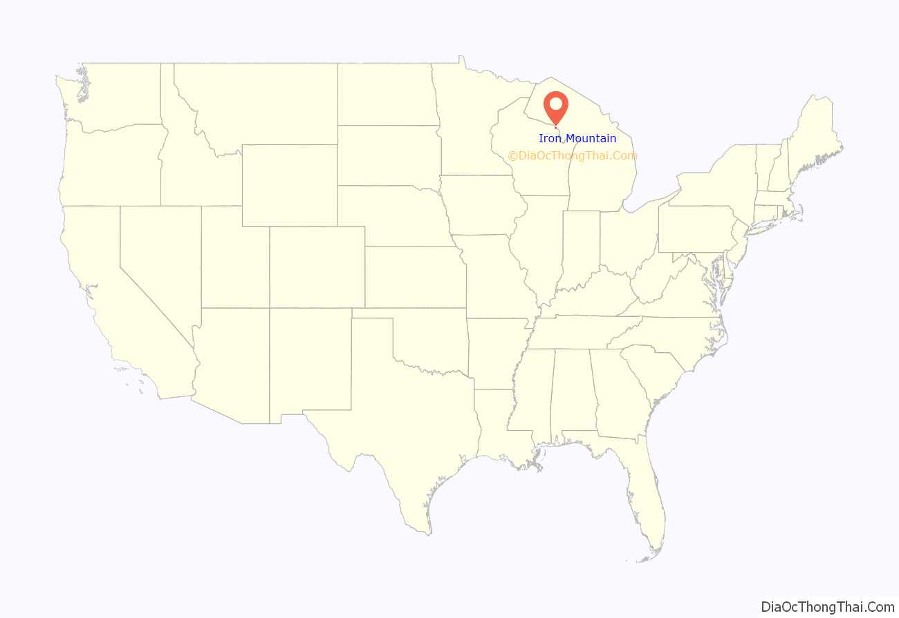
Iron Mountain location map. Where is Iron Mountain city?
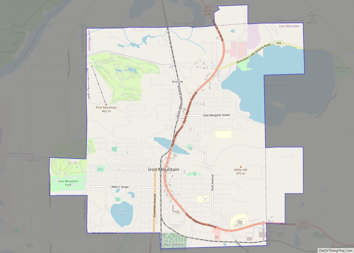
Iron Mountain Road Map
Iron Mountain city Satellite Map
Geography
According to the United States Census Bureau, the city has a total area of 8.04 square miles (20.82 km), of which, 7.37 square miles (19.09 km) of it is land and 0.67 square miles (1.74 km) is water.
See also
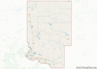
Map of Michigan State and its subdivision:- Alcona
- Alger
- Allegan
- Alpena
- Antrim
- Arenac
- Baraga
- Barry
- Bay
- Benzie
- Berrien
- Branch
- Calhoun
- Cass
- Charlevoix
- Cheboygan
- Chippewa
- Clare
- Clinton
- Crawford
- Delta
- Dickinson
- Eaton
- Emmet
- Genesee
- Gladwin
- Gogebic
- Grand Traverse
- Gratiot
- Hillsdale
- Houghton
- Huron
- Ingham
- Ionia
- Iosco
- Iron
- Isabella
- Jackson
- Kalamazoo
- Kalkaska
- Kent
- Keweenaw
- Lake
- Lake Hurron
- Lake Michigan
- Lake St. Clair
- Lake Superior
- Lapeer
- Leelanau
- Lenawee
- Livingston
- Luce
- Mackinac
- Macomb
- Manistee
- Marquette
- Mason
- Mecosta
- Menominee
- Midland
- Missaukee
- Monroe
- Montcalm
- Montmorency
- Muskegon
- Newaygo
- Oakland
- Oceana
- Ogemaw
- Ontonagon
- Osceola
- Oscoda
- Otsego
- Ottawa
- Presque Isle
- Roscommon
- Saginaw
- Saint Clair
- Saint Joseph
- Sanilac
- Schoolcraft
- Shiawassee
- Tuscola
- Van Buren
- Washtenaw
- Wayne
- Wexford
- Alabama
- Alaska
- Arizona
- Arkansas
- California
- Colorado
- Connecticut
- Delaware
- District of Columbia
- Florida
- Georgia
- Hawaii
- Idaho
- Illinois
- Indiana
- Iowa
- Kansas
- Kentucky
- Louisiana
- Maine
- Maryland
- Massachusetts
- Michigan
- Minnesota
- Mississippi
- Missouri
- Montana
- Nebraska
- Nevada
- New Hampshire
- New Jersey
- New Mexico
- New York
- North Carolina
- North Dakota
- Ohio
- Oklahoma
- Oregon
- Pennsylvania
- Rhode Island
- South Carolina
- South Dakota
- Tennessee
- Texas
- Utah
- Vermont
- Virginia
- Washington
- West Virginia
- Wisconsin
- Wyoming
