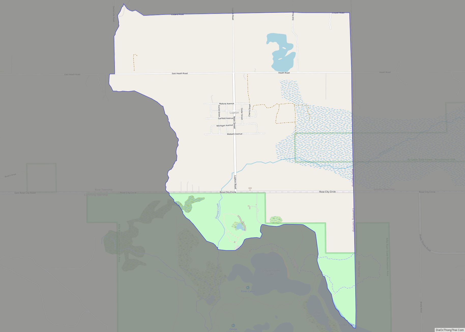
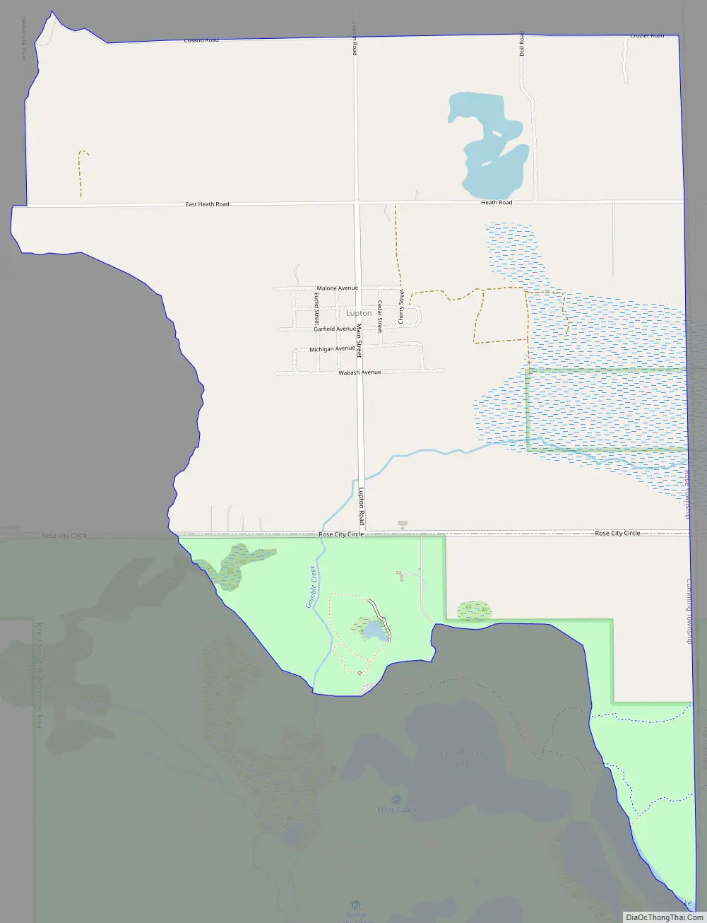
Lupton is an unincorporated community and census-designated place (CDP) in Ogemaw County in the U.S. state of Michigan. At the 2010 census, it had a population of 348. Lupton is located mostly within Rose Township with a small portion extending south into Cumming Township.
| Name: | Lupton CDP |
|---|---|
| LSAD Code: | 57 |
| LSAD Description: | CDP (suffix) |
| State: | Michigan |
| County: | Ogemaw County |
| Elevation: | 922 ft (281 m) |
| Total Area: | 3.26 sq mi (8.45 km²) |
| Land Area: | 3.23 sq mi (8.37 km²) |
| Water Area: | 0.03 sq mi (0.08 km²) |
| Total Population: | 318 |
| Population Density: | 98.39/sq mi (37.99/km²) |
| Area code: | 989 |
| FIPS code: | 2649720 |
| GNISfeature ID: | 1620647 |
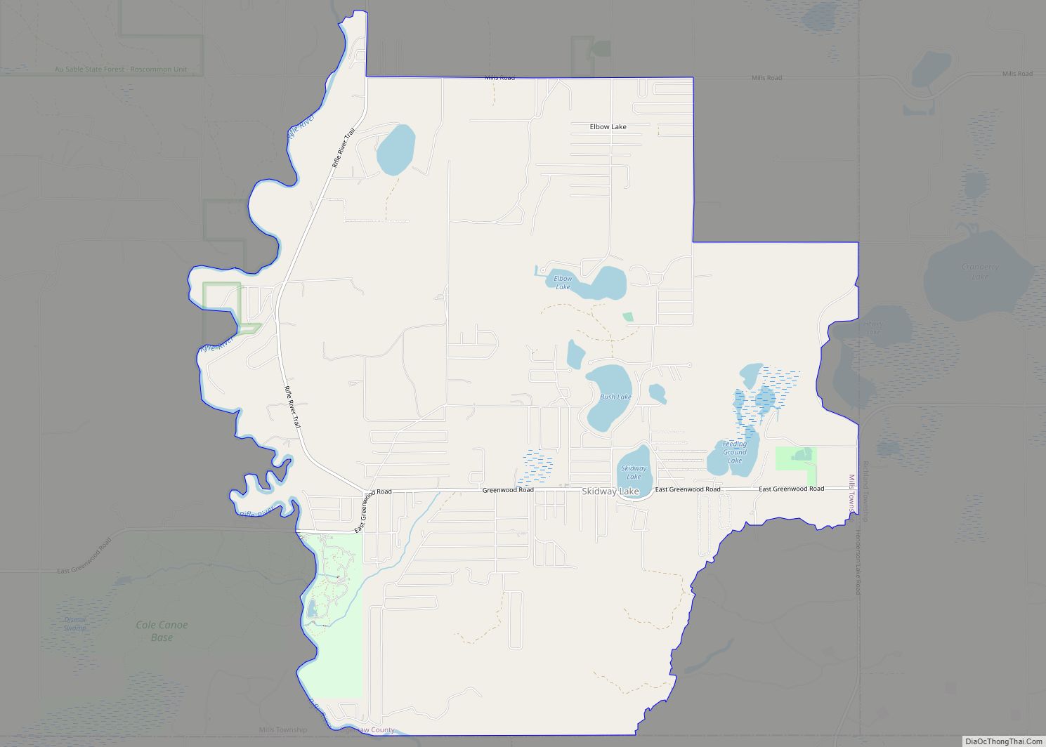
Online Interactive Map
Click on ![]() to view map in "full screen" mode.
to view map in "full screen" mode.
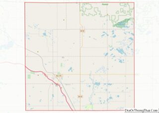
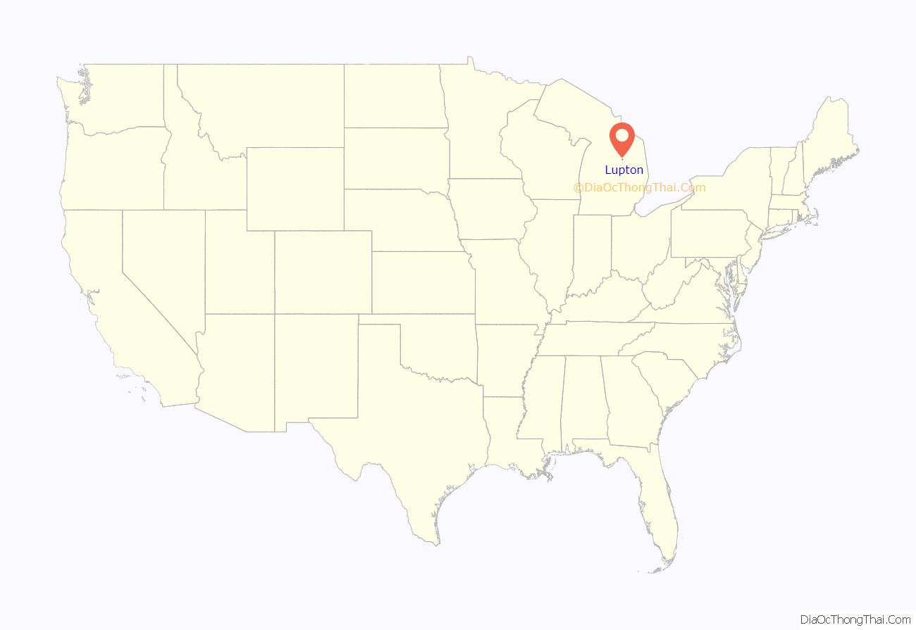
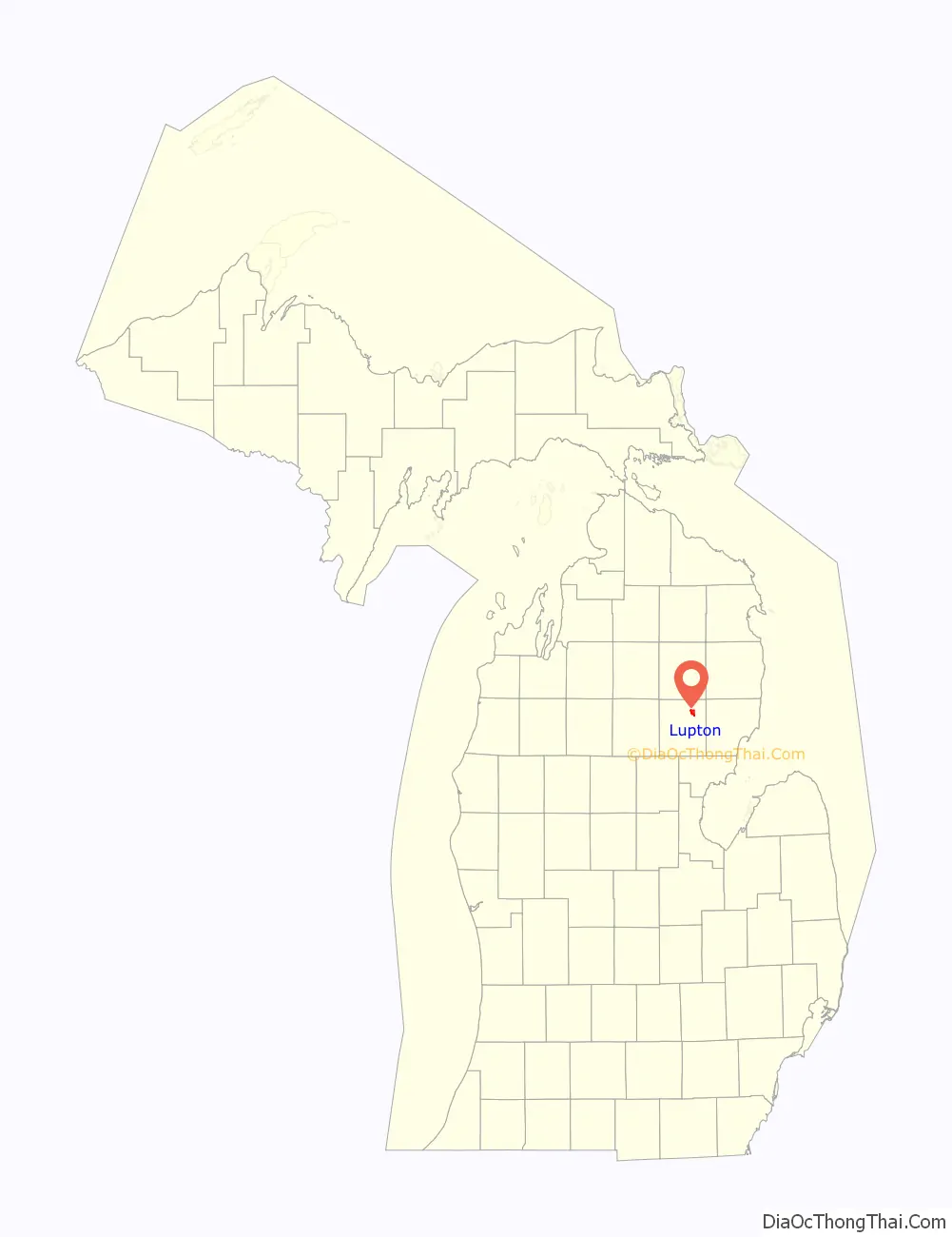
Lupton location map. Where is Lupton CDP?
History
Lupton was settled as early as 1880 by several Quaker families from Ohio, including that of Emmor Lupton. The community was first known as Lane Heights and given a post office under the name Lane on April 11, 1881. A depot on the Detroit, Bay City and Alpena Railroad was opened in January 1893. The post office was renamed Lupton in June 1893. The post office name changed to Lupton on June 8, 1893.
The Lupton Schoolhouse was constructed from 1903–1904 and served Lupton as the Rose Township District No. 5 School. The two-room schoolhouse remained in operation until 1963. The site was dedicated as a Michigan State Historic Site on April 20, 1995.
The community of Lupton was listed as a newly-organized census-designated place for the 2010 census, meaning it now has officially defined boundaries and population statistics for the first time.
The post office remained in operation until it was discontinued on November 5, 2011. Although the community contains no post office, the Lupton 48635 ZIP Code remains active is now served by the Rose City post office.
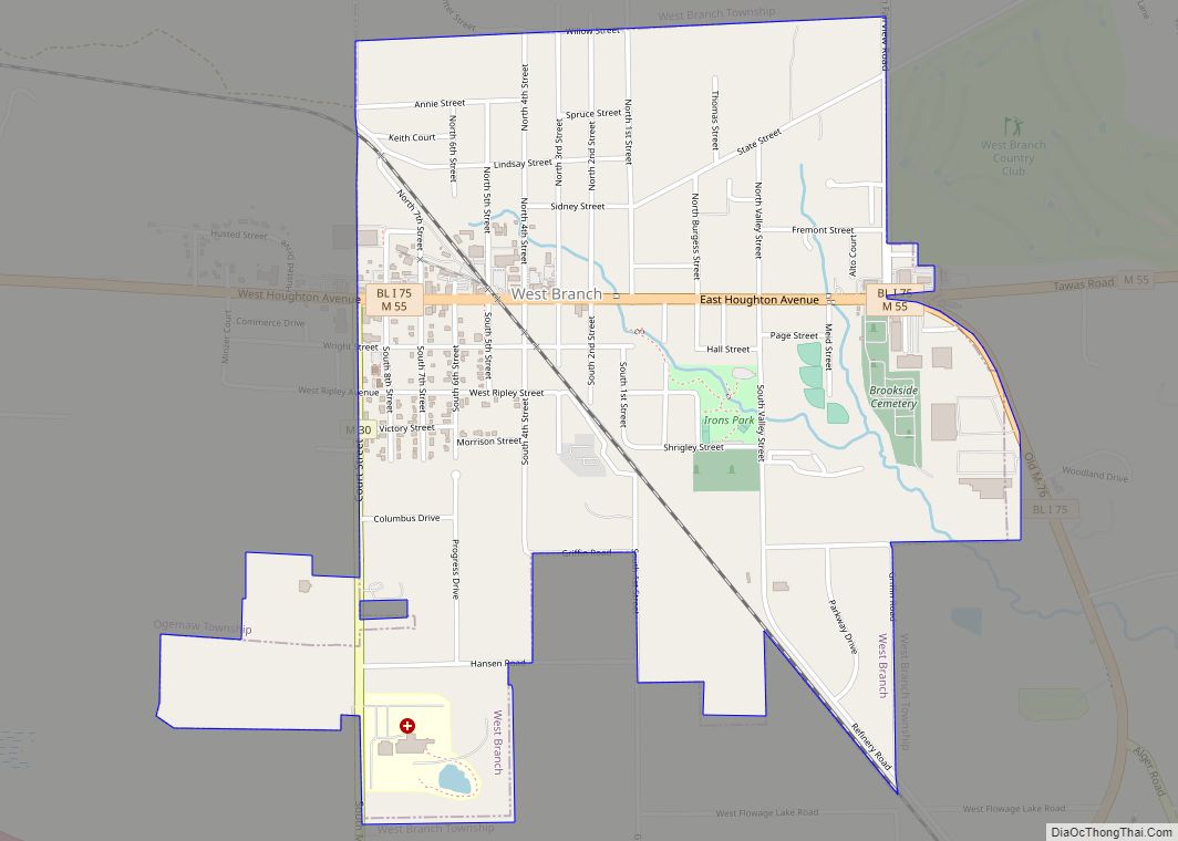
Lupton Road Map
Lupton city Satellite Map
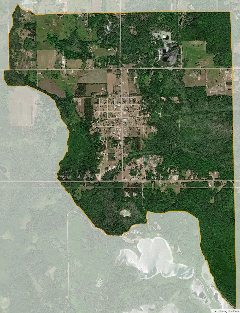
Geography
According to the U.S. Census Bureau, the community has an area of 3.26 square miles (8.44 km), of which 3.23 square miles (8.37 km) is land and 0.03 square miles (0.08 km) (0.92%) is water.
The Rifle River flows through Lupton, and the Rifle River State Recreation Area is just to the south and use the Lupton ZIP Code.
See also
Map of Michigan State and its subdivision:- Alcona
- Alger
- Allegan
- Alpena
- Antrim
- Arenac
- Baraga
- Barry
- Bay
- Benzie
- Berrien
- Branch
- Calhoun
- Cass
- Charlevoix
- Cheboygan
- Chippewa
- Clare
- Clinton
- Crawford
- Delta
- Dickinson
- Eaton
- Emmet
- Genesee
- Gladwin
- Gogebic
- Grand Traverse
- Gratiot
- Hillsdale
- Houghton
- Huron
- Ingham
- Ionia
- Iosco
- Iron
- Isabella
- Jackson
- Kalamazoo
- Kalkaska
- Kent
- Keweenaw
- Lake
- Lake Hurron
- Lake Michigan
- Lake St. Clair
- Lake Superior
- Lapeer
- Leelanau
- Lenawee
- Livingston
- Luce
- Mackinac
- Macomb
- Manistee
- Marquette
- Mason
- Mecosta
- Menominee
- Midland
- Missaukee
- Monroe
- Montcalm
- Montmorency
- Muskegon
- Newaygo
- Oakland
- Oceana
- Ogemaw
- Ontonagon
- Osceola
- Oscoda
- Otsego
- Ottawa
- Presque Isle
- Roscommon
- Saginaw
- Saint Clair
- Saint Joseph
- Sanilac
- Schoolcraft
- Shiawassee
- Tuscola
- Van Buren
- Washtenaw
- Wayne
- Wexford
- Alabama
- Alaska
- Arizona
- Arkansas
- California
- Colorado
- Connecticut
- Delaware
- District of Columbia
- Florida
- Georgia
- Hawaii
- Idaho
- Illinois
- Indiana
- Iowa
- Kansas
- Kentucky
- Louisiana
- Maine
- Maryland
- Massachusetts
- Michigan
- Minnesota
- Mississippi
- Missouri
- Montana
- Nebraska
- Nevada
- New Hampshire
- New Jersey
- New Mexico
- New York
- North Carolina
- North Dakota
- Ohio
- Oklahoma
- Oregon
- Pennsylvania
- Rhode Island
- South Carolina
- South Dakota
- Tennessee
- Texas
- Utah
- Vermont
- Virginia
- Washington
- West Virginia
- Wisconsin
- Wyoming